Parking
Start at Florence Falls Picnic Area and use its car park. Public toilets are at the picnic area; showers are nearby at the separate 2WD campground.
#2 of 17 trails in Litchfield
Litchfield National Park, NT
A creekside loop to a Top End waterfall and plunge pool.
Overview
Map & elevation
Plan your hike

The highest, rockiest slopes around here are a summer buffet for grizzly bears.
Litchfield Tour Guide
Parkwolf is a GPS audio tour guide for Litchfield National Park. As you drive, it chimes in with what’s ahead: hidden gems, upcoming stops, history, geology, and wildlife, right through your car’s speakers.
Recorded for this trailhead
Florence Falls“You're approaching Florence Falls, where the lookout lets you see both cascades dropping into a dark pool ringed by forest.”
Plays as you drive up to this trailhead in the Parkwolf Litchfield Tour Guide.
More stories near here in the app
“Fantastic app with many points of information… It’s great to just turn on while you’re driving and it gives you an audio tour of the national Park. We love it!!!!”


Trail guide
Shady Creek Walk is the wooded route to Florence Falls’ plunge pool, and the short loop is a much nicer outing than going straight down and back up the 160 stairs. From Florence Falls Picnic Area, follow a short stretch beside Florence Creek, then take the Shady Creek path through open woodland and into monsoon forest. The full circuit is about 1.6 km and takes around 45 minutes on foot; the Shady Creek leg itself is about 1 km one way. This is the route for seeing the creek as well as the falls, not the separate 3.2 km Florence Creek Walk that continues to Buley Rockhole.
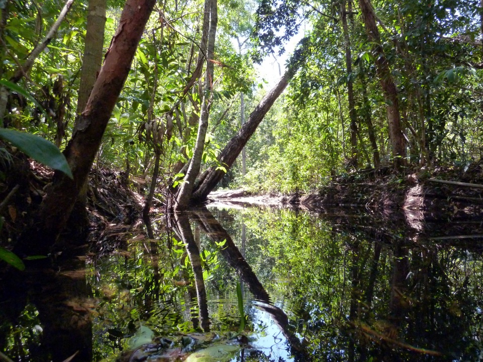
The first part gives you more sky and open savanna. Then the track drops under a thick canopy and follows Shady Creek over an uneven cobble path with some steps. Small bridges cross the water, and little rapids are visible in places. That shaded creek stretch is the walk’s real character; if you only want a quick look at the waterfall, the direct stairs are shorter, but they skip it.
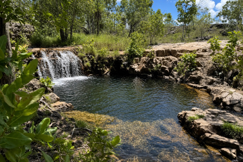
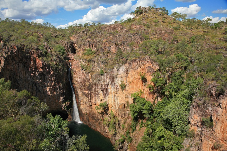
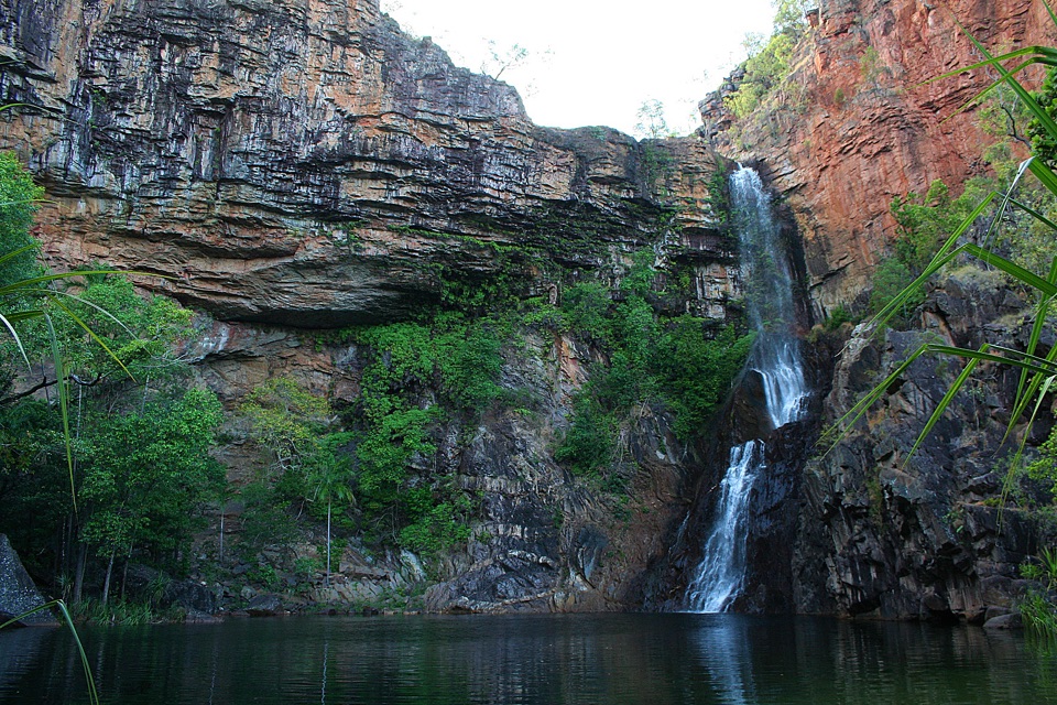
The path ends at Florence Falls’ large plunge pool below two drops. There’s room to stop, look back up the falls and, when swimming is permitted, get in from the rocky edge or the steps into deeper water. The creek and canopy make this a good place to take a wide photo that keeps the water and its setting together. The falls flow year-round and are usually most impressive during the wet season and early dry season.
The circuit comes back to the picnic area on the direct stair route, which climbs 160 metal steps. Those stairs are separate from the Shady Creek track; don’t count them as part of the uneven creek path when choosing between routes. If a long stair climb is a poor fit, walk the Shady Creek section back the way you came instead. That makes the outing roughly 2 km return, but avoids the direct stair flight. The complete loop has about 35 m of ascent in route listings, though the cobbles and stairs make it feel less like an easy paved stroll.
Use the Florence Falls Picnic Area car park as the start. Public toilets are at the picnic area; showers are close by at the separate 2WD campground. The falls are a popular swimming destination, while the shaded creek leg adds more to the visit than the pool stop alone. Visitors from outside the Northern Territory need a Visitor Park Pass, and pets aren’t permitted in the park. The route is Grade 3 (moderate), with uneven footing and steps throughout, plus the 160-step direct return.
Keep exploring
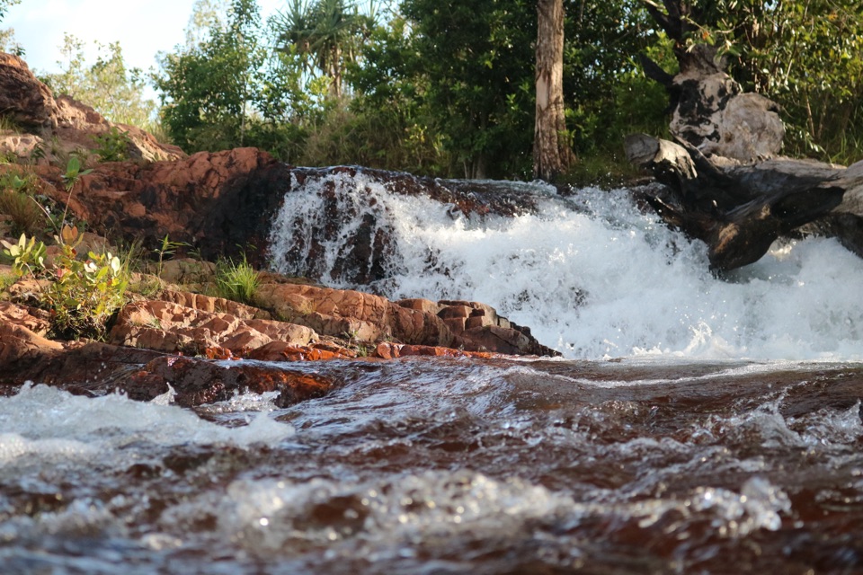 EasyFlorence Creek Walk3.2 km · 1.5 hr · At the trailheadFollow Florence Creek through rainforest and woodland to Buley’s pools.
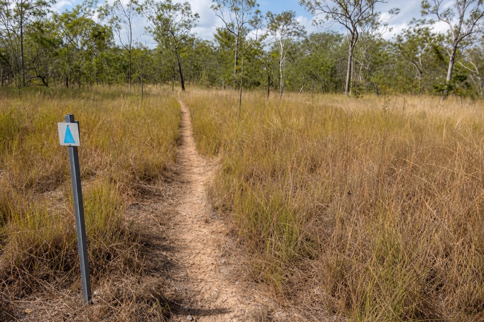 ChallengingTabletop Track: Florence Falls to Wangi Falls20 km · 12 hr · At the trailheadA two-day savanna traverse from Florence Falls to Wangi Falls
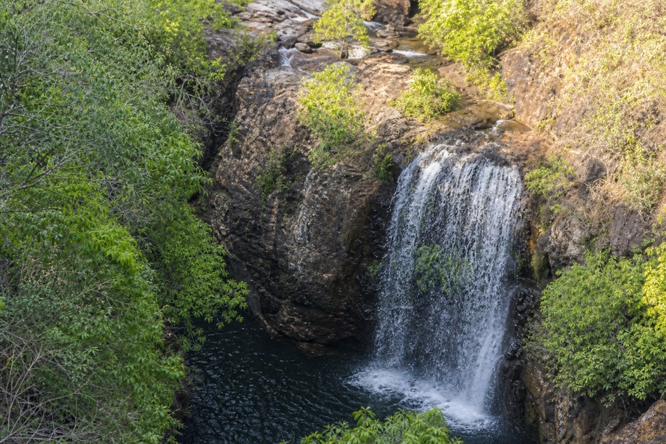 ChallengingTabletop Track Full Circuit38.9 km · 4 days · 0.9 km awayA remote, rocky four-day loop through Litchfield creek country
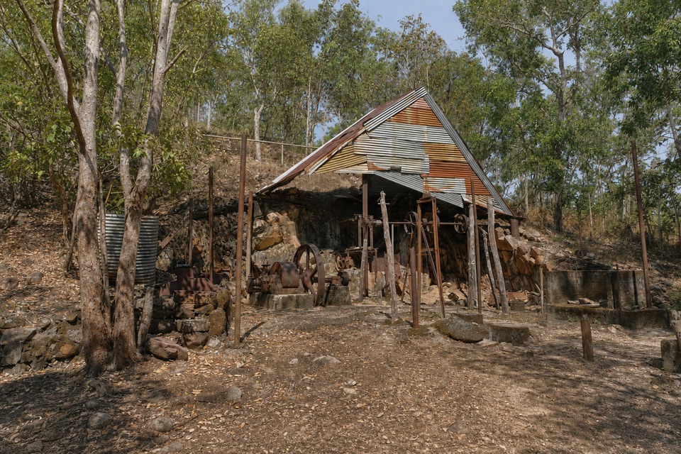 EasyBamboo Creek Tin Mine Walk0.6 km · 30 min · 8.7 km awayStone ruins, water tanks and an old engine on a short loop.
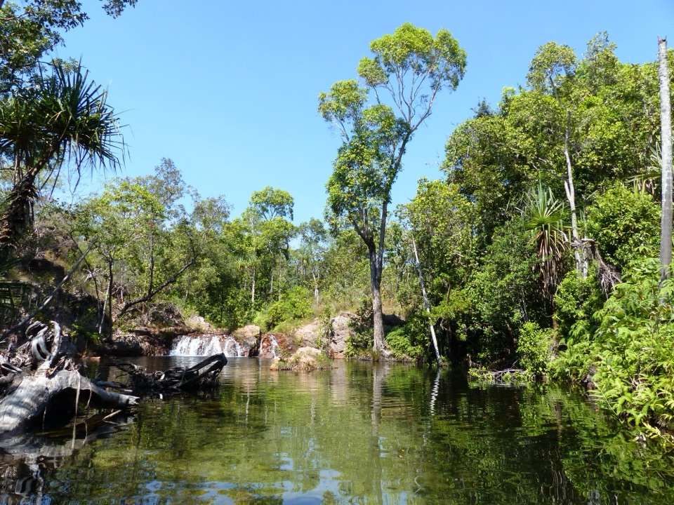 EasyWalker Creek Track3.5 km · 2 hr · 9.6 km awayCreek pools, a monsoon-forest boardwalk and a climb above the valley.
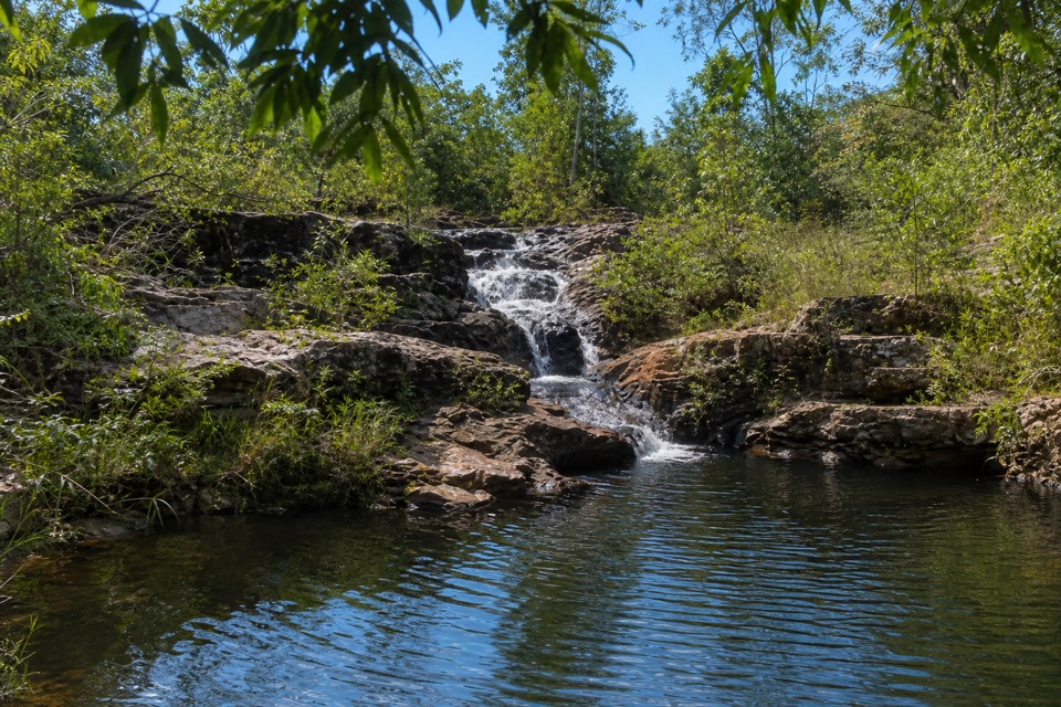 ModerateRocky Falls Day Use Area Walk1.2 km · 30 min · 9.7 km awayA quick creekside out-and-back to low rapids and a swimming spot.
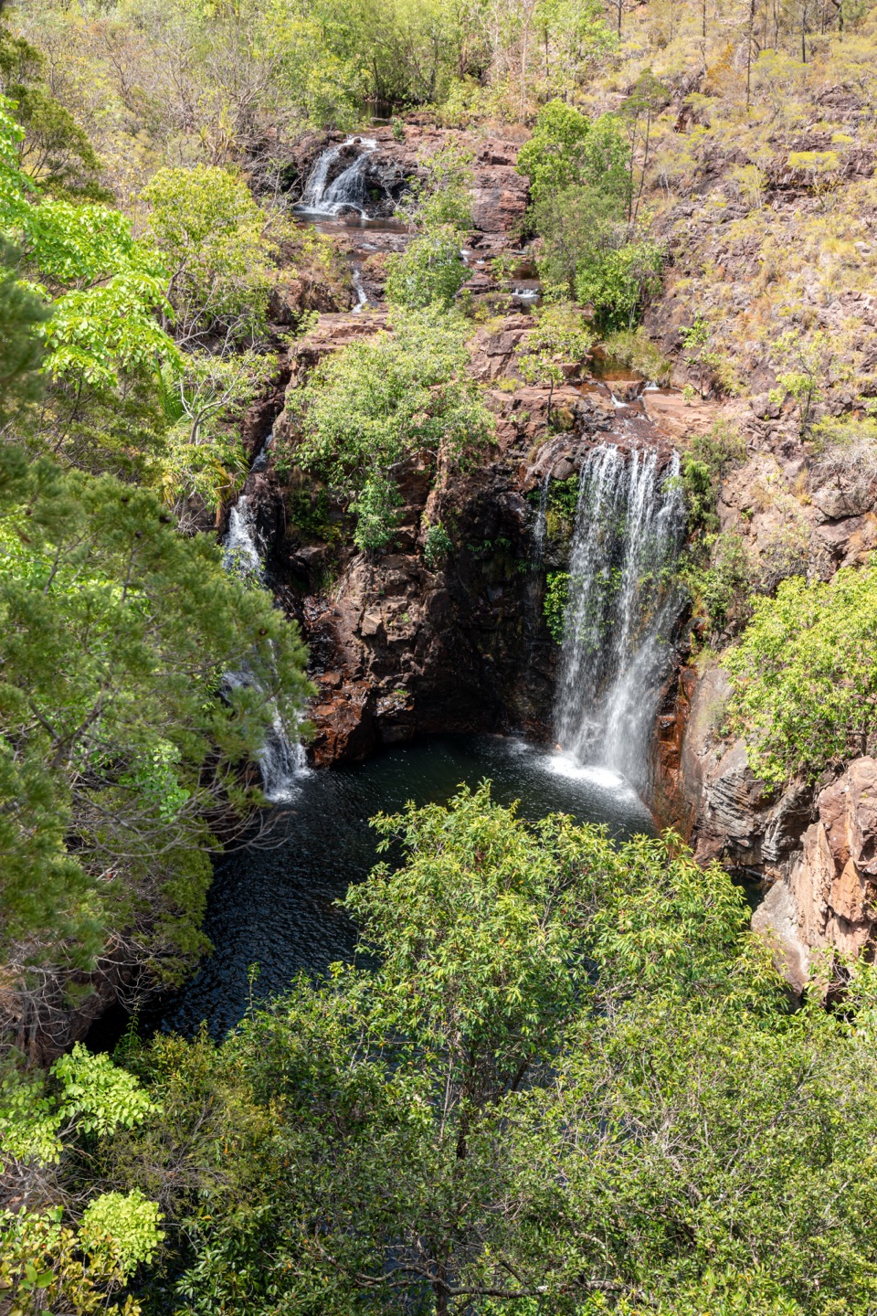 ChallengingTabletop Track: Walker Creek to Florence Falls13.3 km · 8 hr · 9.7 km awayCycads and a creek break up a long, exposed Tabletop crossing.
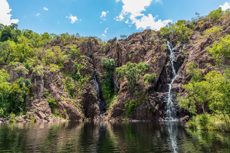 ModerateWangi Falls Walk1.6 km · 1 hr · 13 km awayA short loop pairs the plunge pool with an escarpment climb.
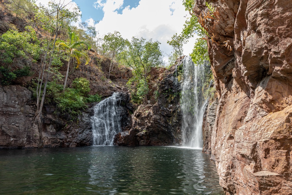 Sight · 0.1 km awayFlorence FallsSwim right up to the falls, 160 steps below the lookout
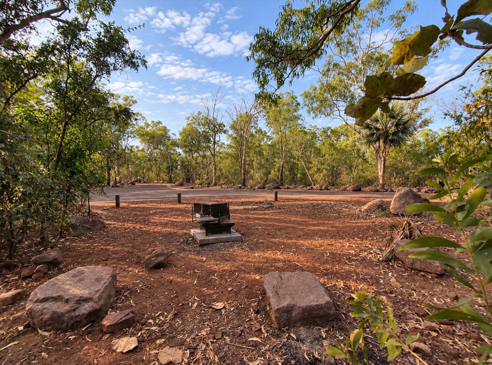 Campground · 0.3 km awayFlorence Falls 2WD CampgroundCaravan-friendly camp with 160 steps down to a year-round waterfall poolCampground · 0.5 km awayFlorence Falls 4WD Campground4WD-only bush camp near a two-tier waterfall and its plunge pool
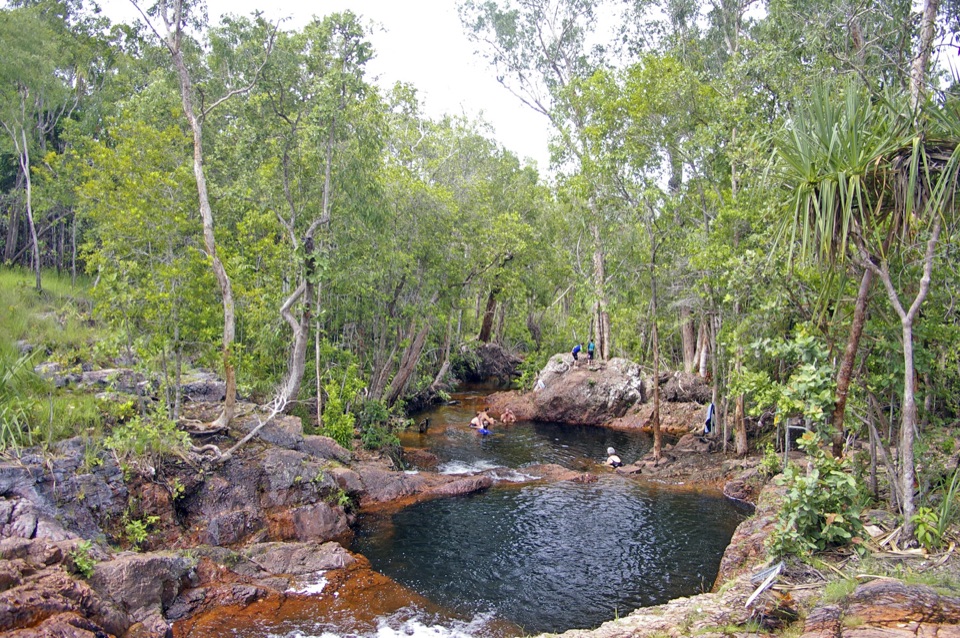 Sight · 1.5 km awayBuley RockholeA staircase of rock pools and tumbling streams made for lounging
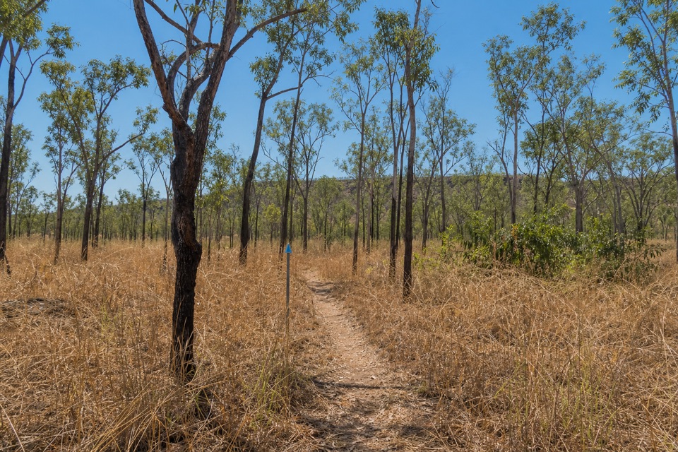 Campground · 6.3 km awayNorthern Campground (Tabletop Track)A quiet overnight stop on the hot, waterless Tabletop circuit
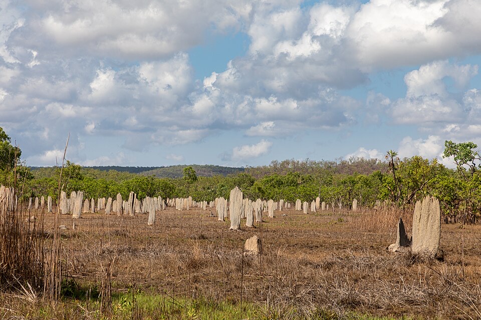 Sight · 6.5 km awayMagnetic Termite MoundsHundreds of wedge-shaped mounds align north-south across a flood plain
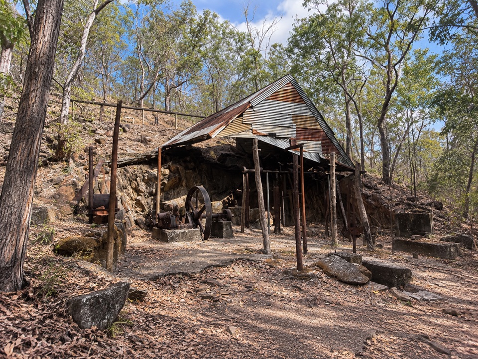 Sight · 8.5 km awayBamboo Creek Tin MineEarly-1900s tin workings and stone quarters on a short 4WD-access loop
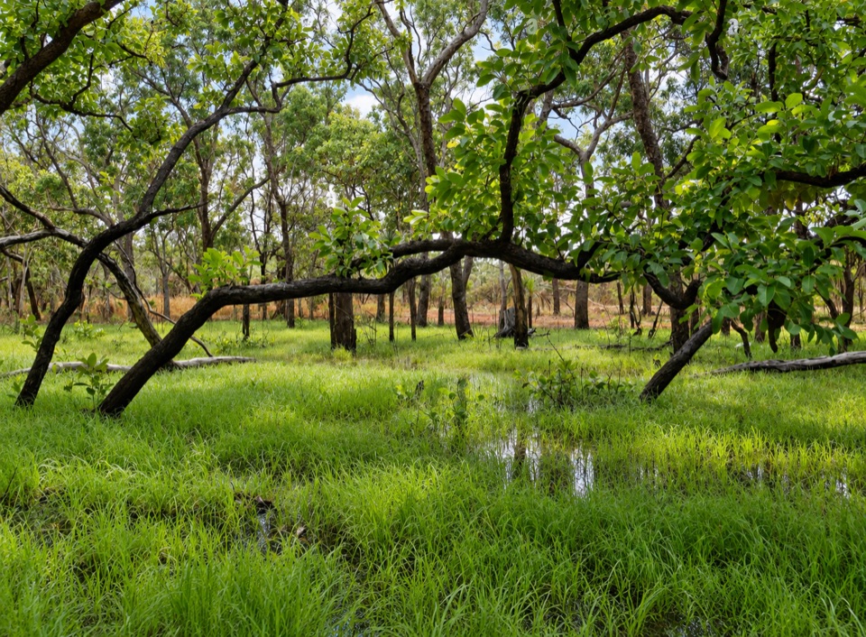 Sight · 9.5 km awayTabletop SwampA paperbark-fringed wetland for a quiet picnic and unhurried birdwatching
Parkwolf’s Litchfield ranking

The audio tour guide for the drive, plus offline maps, trails, and wildlife heatmaps for when the signal drops.