Creag an Tuirc Viewpoint in Loch Lomond & The Trossachs National Park

Sight · Loch Lomond & The Trossachs National Park

Creag an Tuirc Viewpoint

A short climb to Loch Voil views and Clan MacLaren history

Photo: Wikimedia Commons
Type
Sight
Nearest trail
0.4 km
Audio stories
1 nearby
  • Scenic viewpoint
  • Parking

Hear the audio tour

Rob Roy’s Grave at Balquhidder

Overview

About Creag an Tuirc Viewpoint

Why stop

  • Loch Voil and Balquhidder views
  • Clan MacLaren history at the summit

Heads up

  • Steep uphill section and rougher descent

Map

Where it is

Loading the Loch Lomond & The Trossachs map
Full map
SightCreag an Tuirc Viewpoint56.36053, -4.36774
Keep this map with you offline in the Parkwolf app

Plan your stop

Before you go

4 active Loch Lomond & The Trossachs alerts

  • CautionA82 restriction near Kings House HotelThe A82 is restricted in both directions near Kings House Hotel, Glencoe, because of planned roadworks. - Temporary traffic lights are in place; follow the traffic management.Official details
  • ClosureDaytime A827 closure at KillinThe A827 at Killin is closed during the day for roadworks from 28 September through 9 October 2026. - Closure hours: 9:30am to 3:30pm; avoid the route during those hours.Official details

See all 4 alerts
A park ranger sits on a dash-mounted phone, talking, as Parkwolf’s Tour Guide plays “Army Cutworm Moths: A Grizzly Bear Buffet” on Grand Loop Road below Dunraven Pass in Yellowstone
Parkwolf Tour GuideThe highest, rockiest slopes around here are a summer buffet for grizzly bears.

Loch Lomond & The Trossachs Tour Guide

Your drive to Creag an Tuirc Viewpoint, narrated.

Parkwolf is a GPS audio tour guide for Loch Lomond & The Trossachs National Park. As you drive, it chimes in with what’s ahead: hidden gems, upcoming stops, history, geology, and wildlife, right through your car’s speakers.

Recorded for this place

Rob Roy’s Grave at Balquhidder
0:00 / 0:33
“You're approaching the road into Balquhidder, which leads several kilometres along the glen to Rob Roy MacGregor's grave.”

Plays as you drive up to Creag an Tuirc Viewpoint in the Parkwolf Loch Lomond & The Trossachs Tour Guide.

More stories near here in the app

  • The Village That Crossed the River
  • The Bird That Walks Underwater
  • Strathyre and Tighanes Burn
  • The Squirrel's Unexpected Ally
  • 196 audio storiesacross Loch Lomond & The Trossachs’s roads, triggered by GPS as you drive
  • Wildlife heatmapsfor Golden Eagle, Red Deer, Mute Swan, and 13 more
  • Works offlinemaps, 93 trails, 73 places, and audio download before you lose signal
  • CarPlay readysimple controls built for the drive
★★★★★
“Fantastic app with many points of information… It’s great to just turn on while you’re driving and it gives you an audio tour of the national Park. We love it!!!!”
JMJamesApp Store review
Download Parkwolf on the App StoreGet Parkwolf on Google Play

4.7 from 8,600+ ratings

Guide

More about Creag an Tuirc Viewpoint

A small hill with a big viewCreag an Tuirc is a rocky, grassy knoll above Balquhidder, with a bench and memorial cairn at…

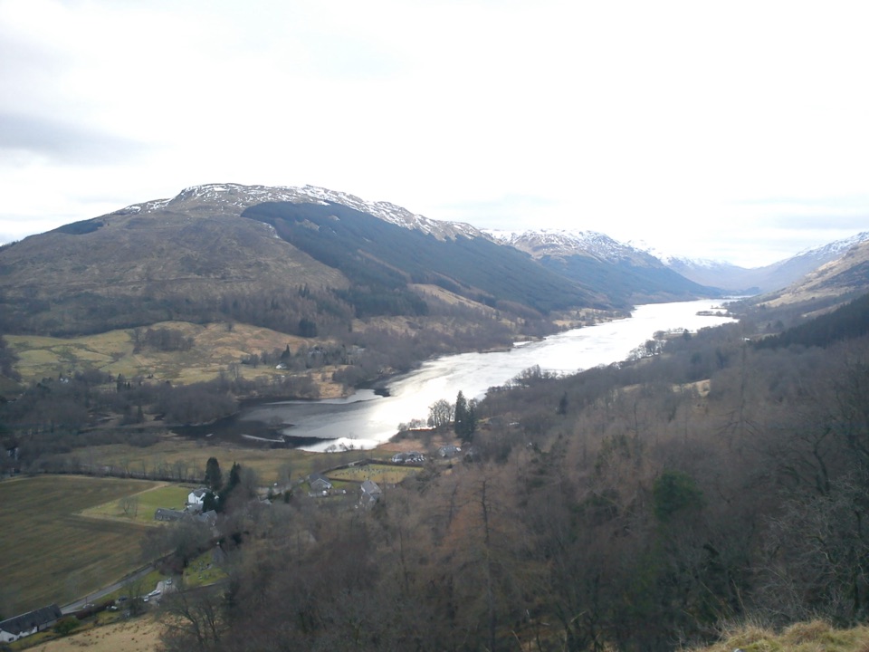
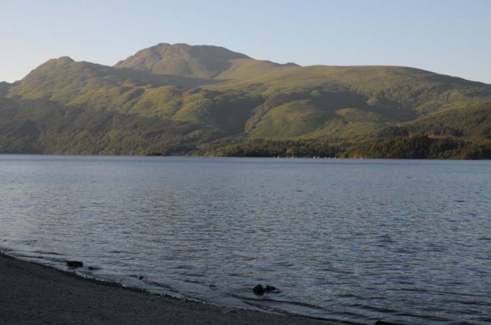
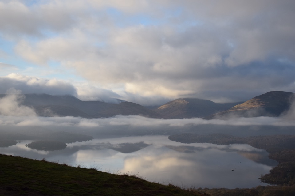
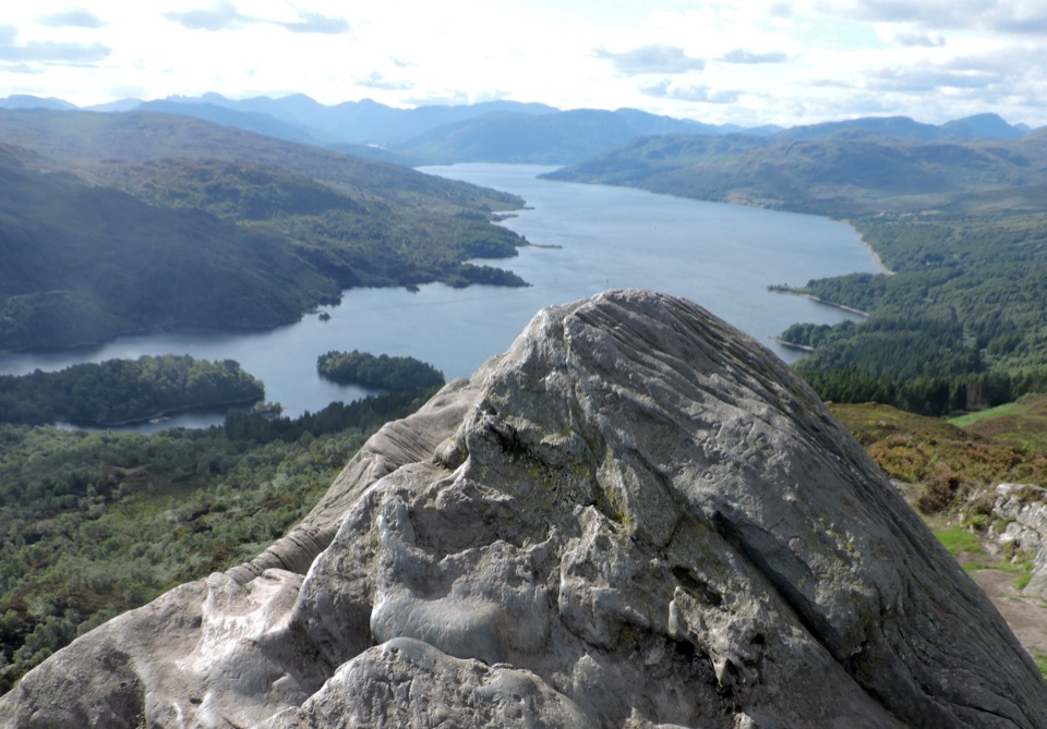
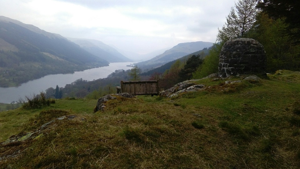
Creag an Tuirc is a rocky, grassy knoll above Balquhidder, with a bench and memorial cairn at the top. The reward is a clear look over the village, the River Balvag, and the long sweep of Loch Voil beneath the Braes of Balquhidder. It is a proper viewpoint, but getting there means a short uphill walk rather than a roadside pullout.

Why make the climbI'd keep this one if you're already stopping at Rob Roy's Grave.

I'd keep this one if you're already stopping at Rob Roy's Grave. The climb is steep overall, but it stays modest enough for a one- to two-hour outing. At the top, look both ways: south over Balquhidder and Glen Buckie toward Benvane, then along Loch Voil. The open view makes the effort feel well spent.

A little history on the cragCreag an Tuirc means "The Boar's Rock."

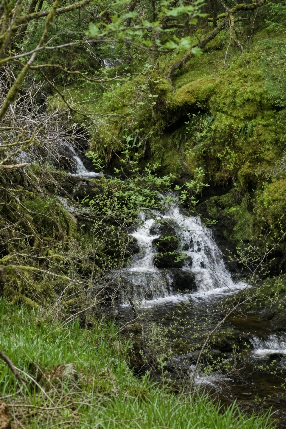
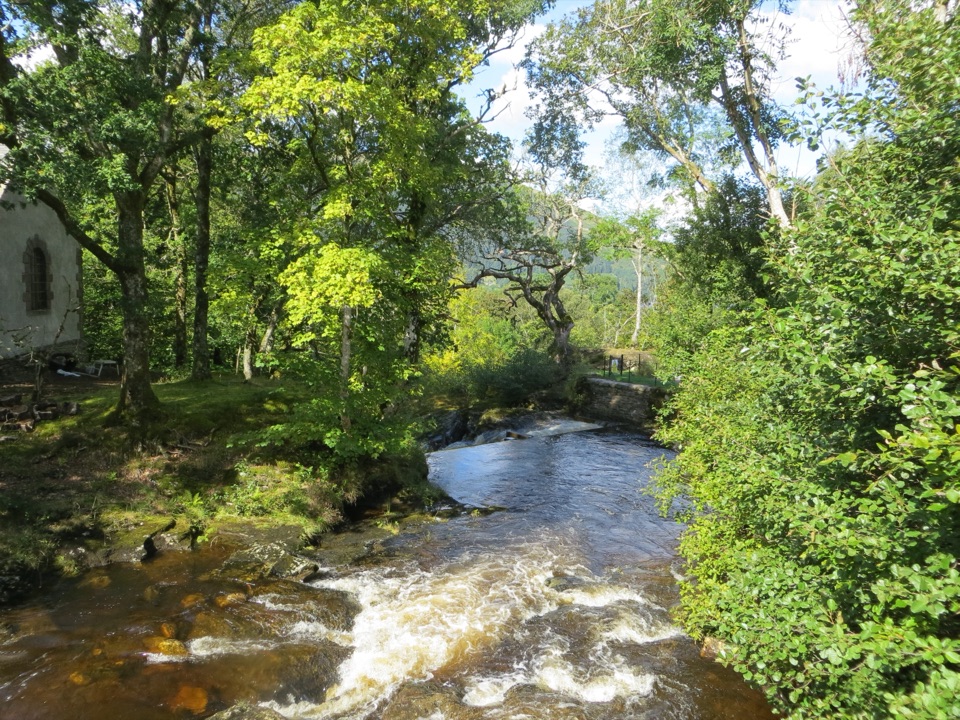
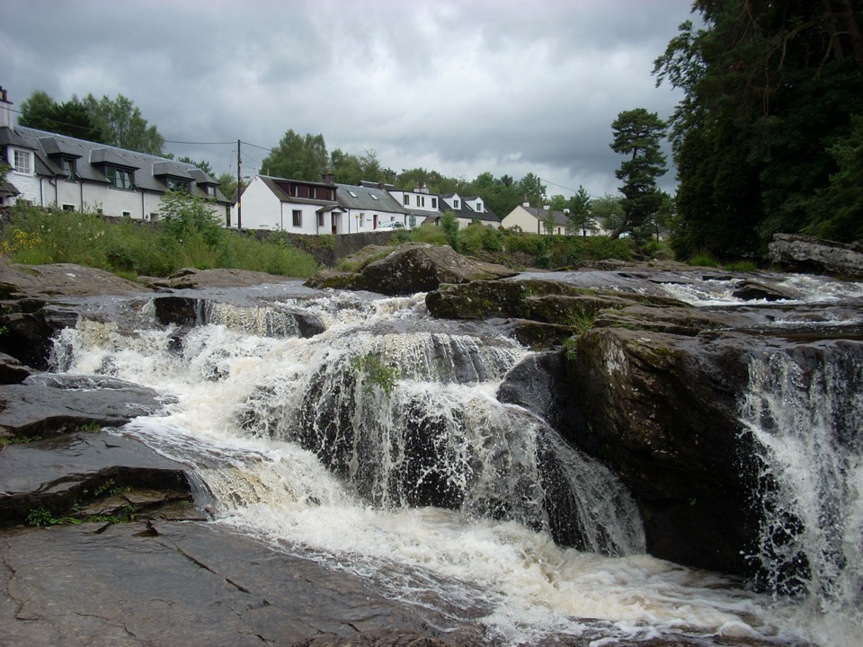
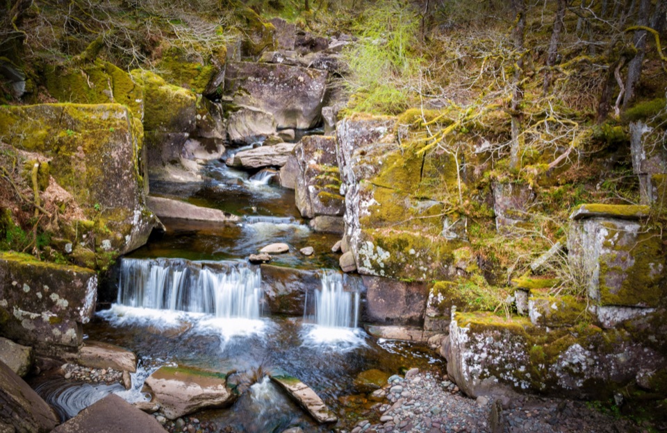
Creag an Tuirc means "The Boar's Rock." This was an ancient rallying place for Clan MacLaren, whose members gathered here in times of trouble. The cairn and bench make a good pause, while the forest approach keeps the summit from appearing until the last part of the walk. A short detour near the start reaches a waterfall.

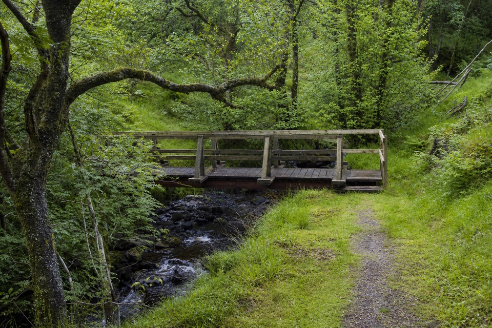
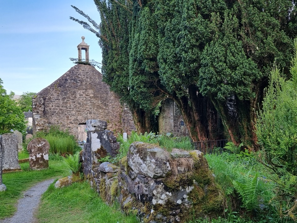
Make it workStart by the churchyard and Rob Roy's Grave, following the green signs toward Creag an Tuirc.

Start by the churchyard and Rob Roy's Grave, following the green signs toward Creag an Tuirc. Parking is limited; if the churchyard is full, the community hall farther along provides an alternative. Paths are generally clear, though the climb is steep and the descent can be rougher. From the summit, frame Loch Voil with the cairn or bench in the foreground.

Wildlife

Wildlife in Loch Lomond & The Trossachs

All Loch Lomond & The Trossachs wildlife maps

Sighting maps show where each species has been reported across Loch Lomond & The Trossachs. Wildlife moves, so no sighting is guaranteed.

Parkwolf’s Loch Lomond & The Trossachs ranking

Top sights in Loch Lomond & The Trossachs

All 73 places
  1. 1Ben LomondSight
  2. 2Trossachs PierSight
  3. 3Conic HillSight
  4. 4Falls of DochartSight
  5. 5Ben A’anSight
  6. 6Bracklinn FallsSight

Take Parkwolf to Loch Lomond & The Trossachs.

The audio tour guide for the drive, plus offline maps, trails, and wildlife heatmaps for when the signal drops.

4.7 from 8,600+ ratings

Download Parkwolf on the App StoreGet Parkwolf on Google Play