Ben Lomond in Loch Lomond & The Trossachs National Park

#1 of 41 sights in Loch Lomond & The Trossachs

Sight · Loch Lomond & The Trossachs National Park

Ben Lomond

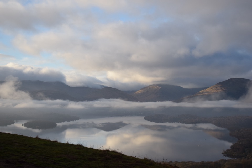
A hard climb to a summit with Loch Lomond spread below.

Photo: Wikimedia Commons
Type
Sight
Nearest trail
3.5 km
  • Parking
  • Restrooms
  • Trailhead
  • Scenic viewpoint

Hear the audio tour

Ben Lomond from Rowardennan

Overview

About Ben Lomond

Why stop

  • Big Loch Lomond views well before the summit
  • A clear, well-defined route to a classic Munro summit

Heads up

  • A hard, exposed mountain day with fast-changing weather
  • The popular route and car park can be busy
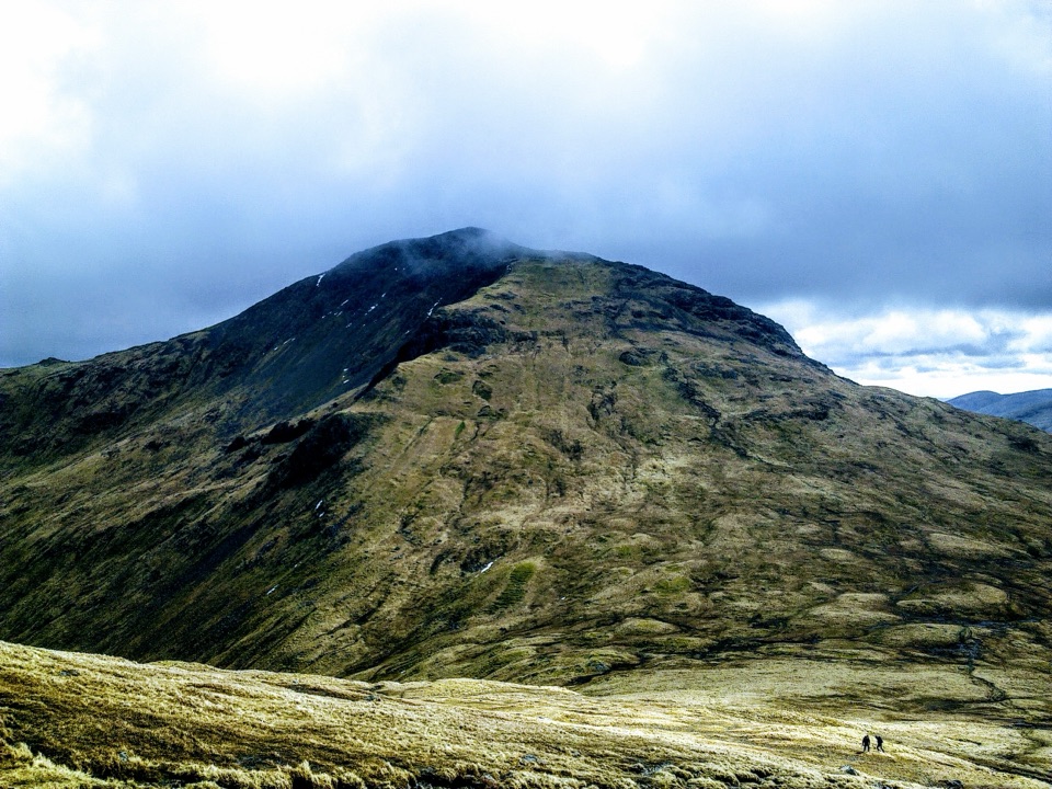
Ben Lomond is a 974 m mountain above the eastern shore of Loch Lomond and Scotland's most southerly Munro. From Rowardennan, the standard path is a hard 13 km there-and-back with 930 m of climbing, usually taking four to six hours. Keep it for a clear day if the summit view is the point: cloud can swallow the top, and the weather changes quickly. If you want the setting without a full mountain day, the lochside memorial and Ardess Hidden History Trail are separate, lower-level options.
Parkwolf’s verdictWhy this is a big day out

Map

Where it is

Loading the Loch Lomond & The Trossachs map
Full map
SightBen Lomond56.19036, -4.63329
Keep this map with you offline in the Parkwolf app

Plan your stop

Before you go

4 active Loch Lomond & The Trossachs alerts

  • CautionLoch Lomond navigation-aid defectsMentions Loch Lomond, referenced in this guideSeveral navigation aids and hazard marks on Loch Lomond are off station or have lighting discrepancies; boaters should account for them when navigating.Official details
  • CautionA82 restriction near Kings House HotelThe A82 is restricted in both directions near Kings House Hotel, Glencoe, because of planned roadworks. - Temporary traffic lights are in place; follow the traffic management.Official details
See all 4 alerts
A park ranger sits on a dash-mounted phone, talking, as Parkwolf’s Tour Guide plays “Army Cutworm Moths: A Grizzly Bear Buffet” on Grand Loop Road below Dunraven Pass in Yellowstone
Parkwolf Tour GuideThe highest, rockiest slopes around here are a summer buffet for grizzly bears.

Loch Lomond & The Trossachs Tour Guide

Your drive to Ben Lomond, narrated.

Parkwolf is a GPS audio tour guide for Loch Lomond & The Trossachs National Park. As you drive, it chimes in with what’s ahead: hidden gems, upcoming stops, history, geology, and wildlife, right through your car’s speakers.

Recorded for this place

Ben Lomond from Rowardennan
0:00 / 0:32
“You're coming up on Rowardennan, the starting point for Ben Lomond.”

Plays as you drive up to Ben Lomond in the Parkwolf Loch Lomond & The Trossachs Tour Guide.

More stories near here in the app

  • Firkin Point on Loch Lomond
  • The Osprey’s Return
  • Scotland’s Rainforest Clues
  • The Sad Story in the Loch Lomond Song
  • 196 audio storiesacross Loch Lomond & The Trossachs’s roads, triggered by GPS as you drive
  • Wildlife heatmapsfor Golden Eagle, Red Deer, Mute Swan, and 13 more
  • Works offlinemaps, 93 trails, 73 places, and audio download before you lose signal
  • CarPlay readysimple controls built for the drive
★★★★★
“Fantastic app with many points of information… It’s great to just turn on while you’re driving and it gives you an audio tour of the national Park. We love it!!!!”
JMJamesApp Store review
Download Parkwolf on the App StoreGet Parkwolf on Google Play

4.7 from 8,600+ ratings

Guide

More about Ben Lomond

What the climb is actually likeStart at Rowardennan car park and cross the vehicle track to a roughly 1 m-wide path through…

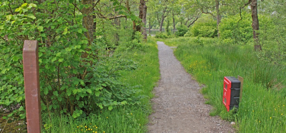
Start at Rowardennan car park and cross the vehicle track to a roughly 1 m-wide path through the woodland. After gates and a forestry track, the trees thin and the route opens onto grass, heath and the broad hollow of Coire Corrach. The path steepens in zigzags, then eases briefly on Sron Aonaich, the ridge's "nose", before climbing again. The last 300 m is steep and stone-pitched, and the final approach runs close to the crags of the northern corrie. The way is clear, but it is a hard mountain walk rather than a long stroll. The Ptarmigan Ridge alternative is steeper and rockier, especially high up; the ordinary path is the better first choice unless you already know what you are taking on.

The view, and the mountain's storyThe summit is a rocky, grassy ridge marked by an Ordnance Survey trig point erected in the…

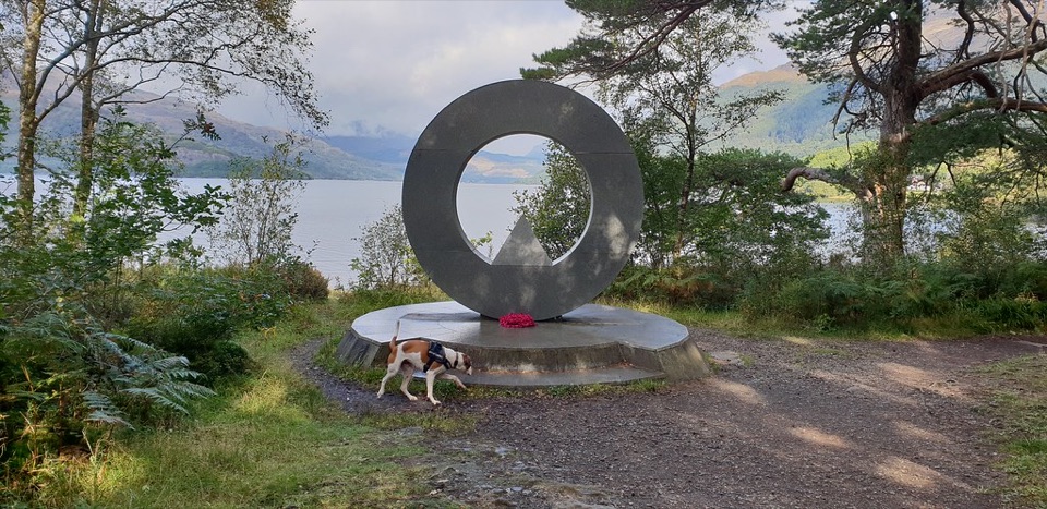
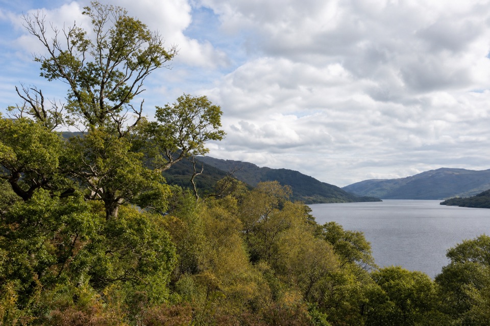
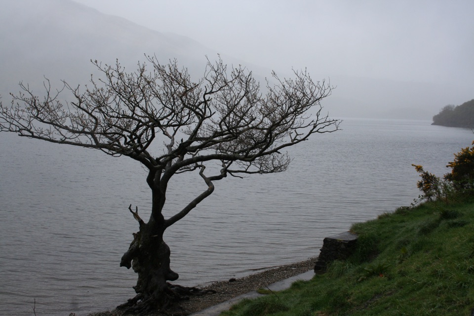
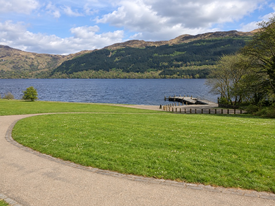
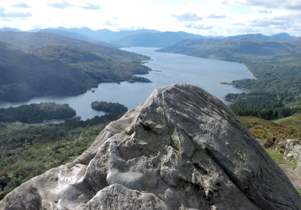
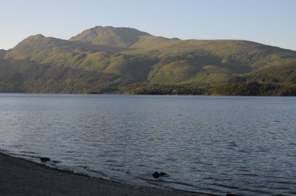
The summit is a rocky, grassy ridge marked by an Ordnance Survey trig point erected in the 1930s. Loch Lomond and its islands stretch away below, with the Arrochar Alps and the Cobbler to the west. On a very clear day you can pick out Arran, the Paps of Jura, Mull and Ben Nevis. The name is usually read as "Beacon Mountain", from the Brittonic word llumon, although nobody knows whether a beacon was ever lit here. Look for the less dramatic history as you walk: more than 40 seasonal shielings have been mapped on the hill, and the path still crosses traces of an old pony track built for early-1800s tourists. The surrounding slopes form a National Memorial Park, designated in 1995; a circular stone sculpture by Doug Cocker stands beside the loch a short walk from the car park.

Making the day workFrom Drymen, follow the B837 through Balmaha and along the east side of the loch to Rowardennan.

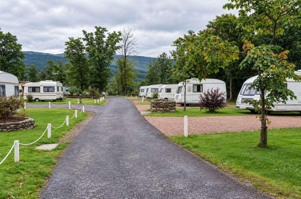
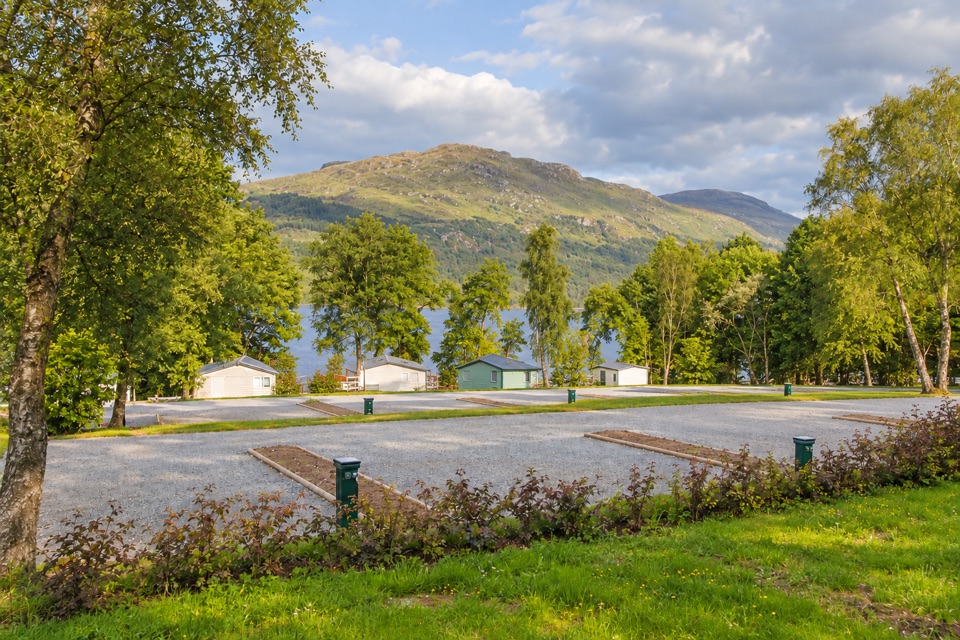
From Drymen, follow the B837 through Balmaha and along the east side of the loch to Rowardennan. The route is a dead end, and the car park can fill on popular days, so do not rely on finding roadside space. There are portable toilets at the car park and a water station at the path start. There is no local shop; the nearby hotel and youth hostel serve breakfast and evening meals, but bring anything else you need for the hill. Dogs are welcome only under close control and should be kept on a lead around grazing livestock and wildlife. For the best summit photograph, include some of the foreground rock or the trig point with Loch Lomond and its islands rather than shooting only at the distant hills: it gives a phone photo the scale that makes the climb make sense.

Wildlife

Wildlife in Loch Lomond & The Trossachs

All Loch Lomond & The Trossachs wildlife maps

Sighting maps show where each species has been reported across Loch Lomond & The Trossachs. Wildlife moves, so no sighting is guaranteed.

Keep exploring

Near Ben Lomond

See it all on the map

Trails nearby

More stops nearby

Parkwolf’s Loch Lomond & The Trossachs ranking

Top sights in Loch Lomond & The Trossachs

All 73 places
  1. 2Trossachs PierSight
  2. 3Conic HillSight
  3. 4Falls of DochartSight
  4. 5Ben A’anSight
  5. 6Bracklinn FallsSight
  6. 7Benmore Botanic GardenSight

Take Parkwolf to Loch Lomond & The Trossachs.

The audio tour guide for the drive, plus offline maps, trails, and wildlife heatmaps for when the signal drops.

4.7 from 8,600+ ratings

Download Parkwolf on the App StoreGet Parkwolf on Google Play