Ben A’an in Loch Lomond & The Trossachs National Park

#5 of 41 sights in Loch Lomond & The Trossachs

Sight · Loch Lomond & The Trossachs National Park

Ben A’an

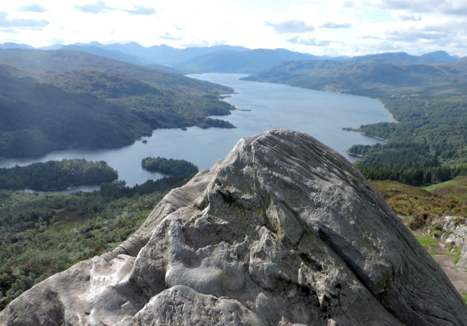
Steep 4km return climb to a rocky top above Loch Katrine

Photo: Wikimedia Commons
Type
Sight
Nearest trail
1.2 km
Audio stories
4 nearby
  • Parking
  • Scenic viewpoint

Hear the audio tour

Ben A’an above Loch Katrine

Overview

About Ben A’an

Why stop

  • Nearly the full length of Loch Katrine in view

Heads up

  • Steep climb and rocky footing

Map

Where it is

Loading the Loch Lomond & The Trossachs map
Full map
SightBen A’an56.24268, -4.41875
Keep this map with you offline in the Parkwolf app

Plan your stop

Before you go

4 active Loch Lomond & The Trossachs alerts

  • CautionA82 restriction near Kings House HotelThe A82 is restricted in both directions near Kings House Hotel, Glencoe, because of planned roadworks. - Temporary traffic lights are in place; follow the traffic management.Official details
  • ClosureDaytime A827 closure at KillinThe A827 at Killin is closed during the day for roadworks from 28 September through 9 October 2026. - Closure hours: 9:30am to 3:30pm; avoid the route during those hours.Official details

See all 4 alerts
A park ranger sits on a dash-mounted phone, talking, as Parkwolf’s Tour Guide plays “Army Cutworm Moths: A Grizzly Bear Buffet” on Grand Loop Road below Dunraven Pass in Yellowstone
Parkwolf Tour GuideThe highest, rockiest slopes around here are a summer buffet for grizzly bears.

Loch Lomond & The Trossachs Tour Guide

Your drive to Ben A’an, narrated.

Parkwolf is a GPS audio tour guide for Loch Lomond & The Trossachs National Park. As you drive, it chimes in with what’s ahead: hidden gems, upcoming stops, history, geology, and wildlife, right through your car’s speakers.

Recorded for this place

Ben A’an above Loch Katrine
0:00 / 0:26
“You're approaching the Ben A'an trailhead by Loch Achray; the path begins across the road from its car park. It's a steep two-to-four-hour climb, ending on uneven summit rock with steep ground nearby.”

Plays as you drive up to Ben A’an in the Parkwolf Loch Lomond & The Trossachs Tour Guide.

More stories near here in the app

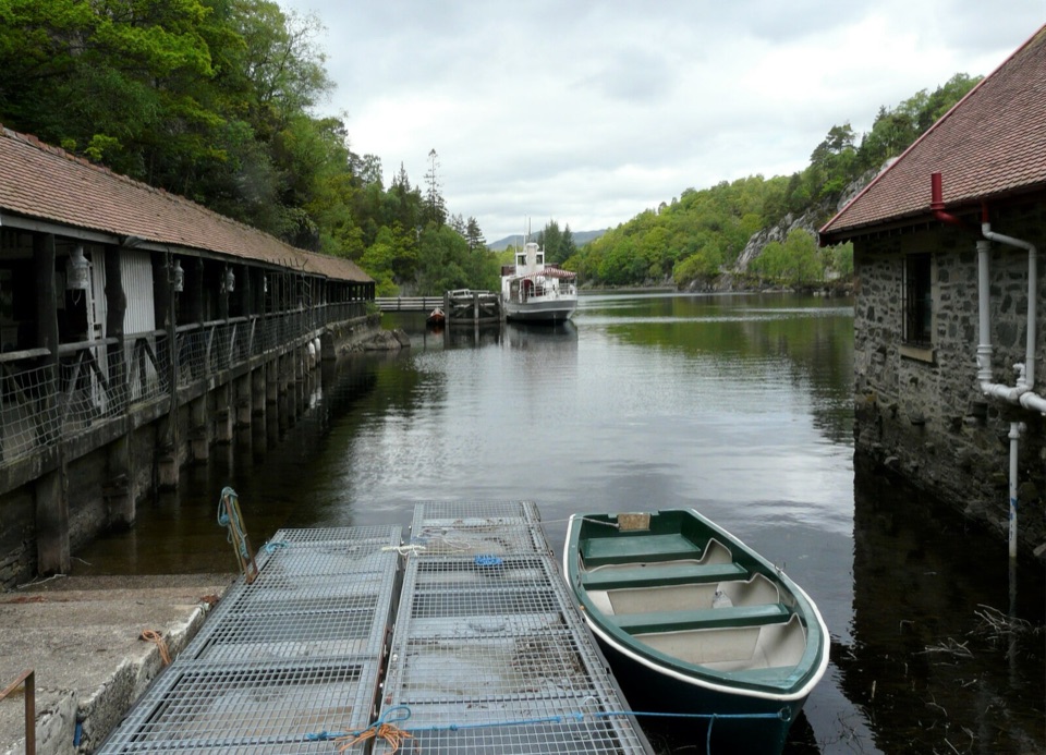
  • Trossachs Pier and Loch Katrine
  • A Shorter View Above Loch Achray
  • The Forked Tail That Came Back
  • Glen Finglas's Open Woods
  • 196 audio storiesacross Loch Lomond & The Trossachs’s roads, triggered by GPS as you drive
  • Wildlife heatmapsfor Golden Eagle, Red Deer, Mute Swan, and 13 more
  • Works offlinemaps, 93 trails, 73 places, and audio download before you lose signal
  • CarPlay readysimple controls built for the drive
★★★★★
“Fantastic app with many points of information… It’s great to just turn on while you’re driving and it gives you an audio tour of the national Park. We love it!!!!”
JMJamesApp Store review
Download Parkwolf on the App StoreGet Parkwolf on Google Play

4.7 from 8,600+ ratings

Guide

More about Ben A’an

What you're signing up forThe name comes from Gaelic for small pointed peak, and the shape lives up to it.

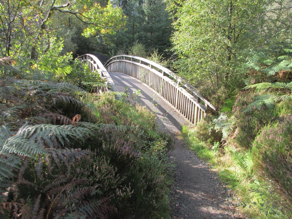
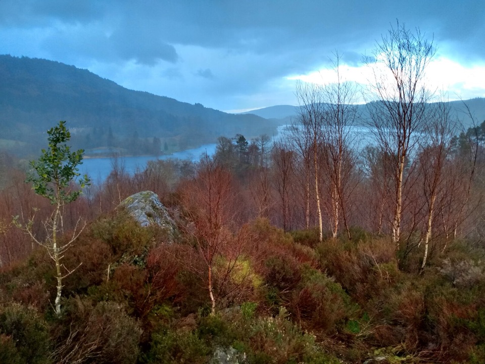
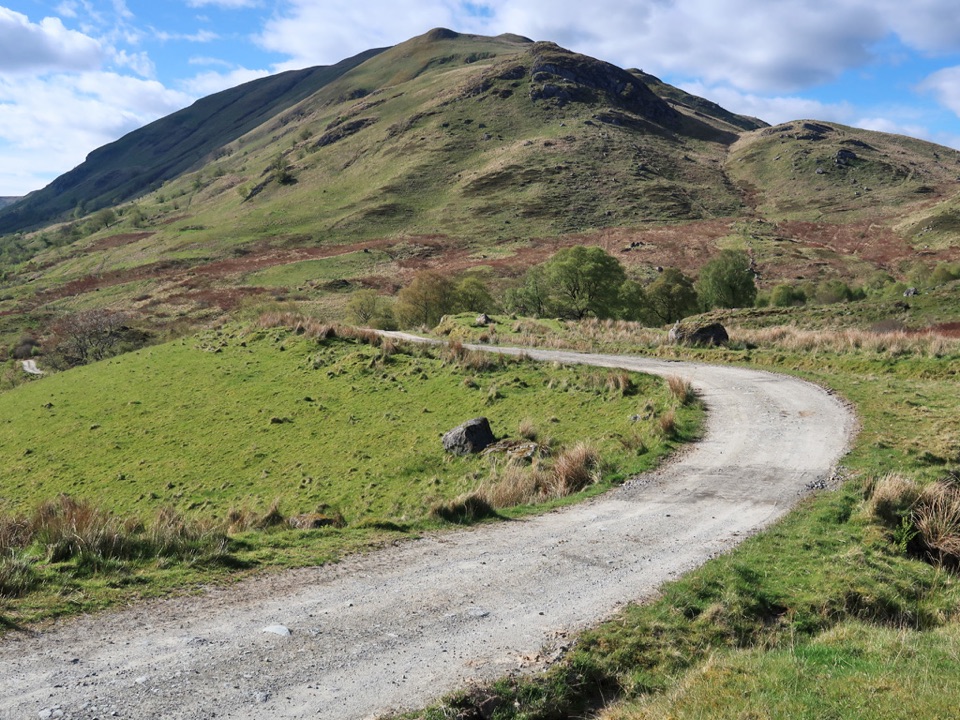
The name comes from Gaelic for small pointed peak, and the shape lives up to it. The path climbs through forest onto open moorland and crags, and although the route has been rebuilt it is steep for most of its length, with a rocky final section to the top at 454m.

Reckon on about 4km there and back on the same path, 340m of ascent, and two to four hours. It's a short walk by hill standards, but it's a proper hillwalk rather than a stroll, so boots and a check of the forecast are sensible.

The reward at the topThe rocky top sits on the flank of higher ground behind it, which does nothing to spoil the…

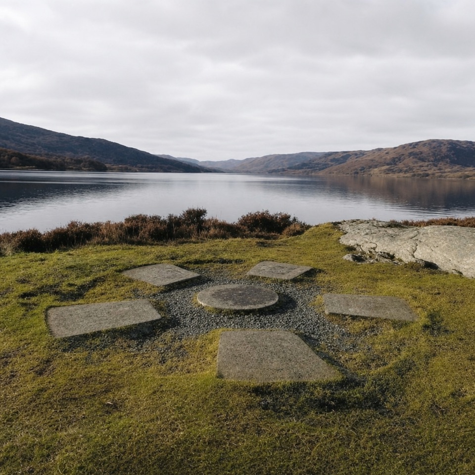
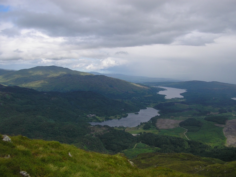
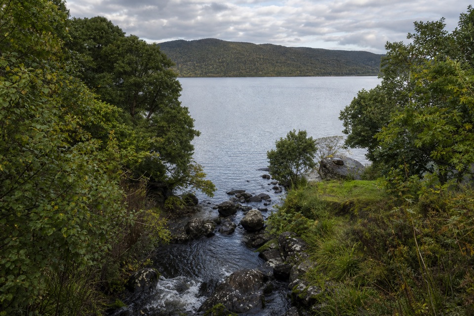
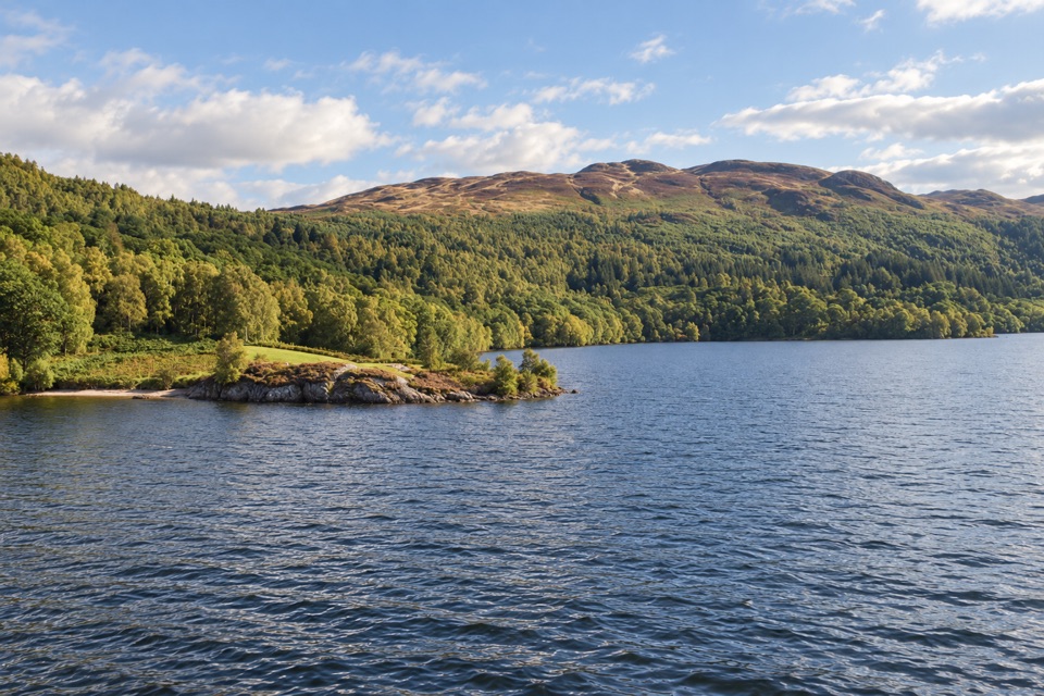
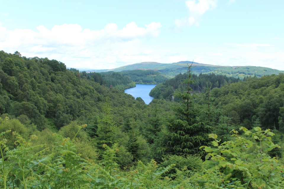
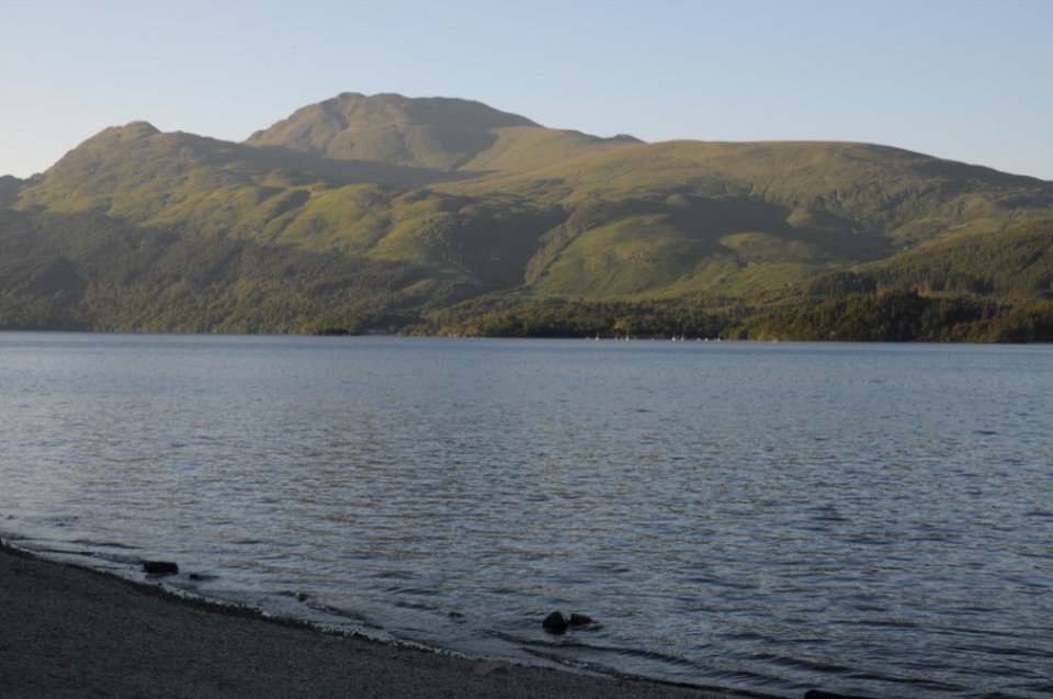
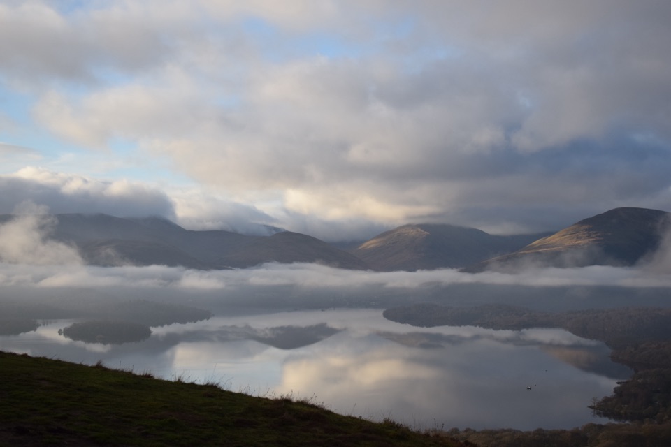
The rocky top sits on the flank of higher ground behind it, which does nothing to spoil the view. Nearly the whole length of Loch Katrine opens out with Ben Venue alongside it, Loch Achray and part of Loch Venachar lie the other way, and Ben Lomond and the Arrochar Alps fill the western skyline.

For photos, shoot along Loch Katrine as it stretches between the hills, using the rocks at your feet for foreground while staying well back from the drop. Save it for clear conditions.

Practical bitsThe car park is south of the A821 by Loch Achray and the path starts across the road.

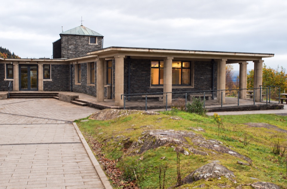
The car park is south of the A821 by Loch Achray and the path starts across the road. It fills up on sunny summer weekends, so an early start helps. Bring your own food and water for the walk; the cafe at Loch Katrine is a separate stop.

Wildlife

Wildlife in Loch Lomond & The Trossachs

All Loch Lomond & The Trossachs wildlife maps

Sighting maps show where each species has been reported across Loch Lomond & The Trossachs. Wildlife moves, so no sighting is guaranteed.

Keep exploring

Near Ben A’an

See it all on the map

Trails nearby

More stops nearby

Parkwolf’s Loch Lomond & The Trossachs ranking

Top sights in Loch Lomond & The Trossachs

All 73 places
  1. 1Ben LomondSight
  2. 2Trossachs PierSight
  3. 3Conic HillSight
  4. 4Falls of DochartSight
  5. 6Bracklinn FallsSight
  6. 7Benmore Botanic GardenSight

Take Parkwolf to Loch Lomond & The Trossachs.

The audio tour guide for the drive, plus offline maps, trails, and wildlife heatmaps for when the signal drops.

4.7 from 8,600+ ratings

Download Parkwolf on the App StoreGet Parkwolf on Google Play