Turnhole Bend Trail in Mammoth Cave National Park

Mammoth Cave National Park, KY

Turnhole Bend Trail

A backcountry camp route with one steep ravine at the end.

Length
1.8mi
Time
1hr
Elev. change
236ft
Difficulty
Moderate
  • Dogs allowed
  • High point 879 ft

Hear the audio tour

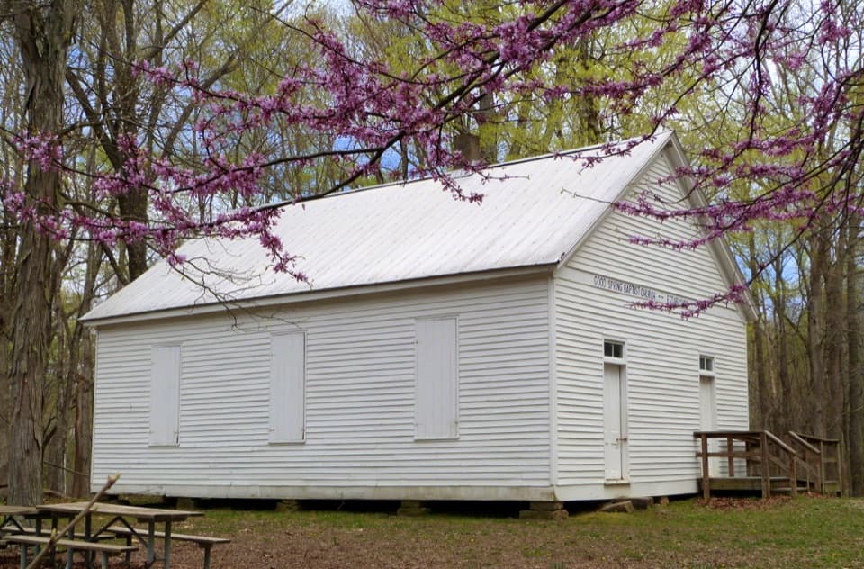
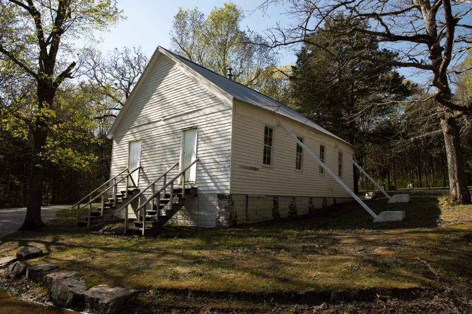
Good Spring Baptist Church and Cemetery

Overview

About Turnhole Bend Trail

Why go

  • Links Buffalo Creek Trail with Turnhole Bend campsite.
  • Mostly mild grades after the opening climb.

Heads up

  • No direct road access; the Buffalo Creek approach adds distance.
  • A steep ravine breaks up the campsite end.
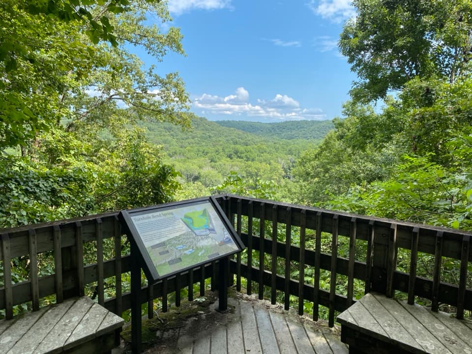
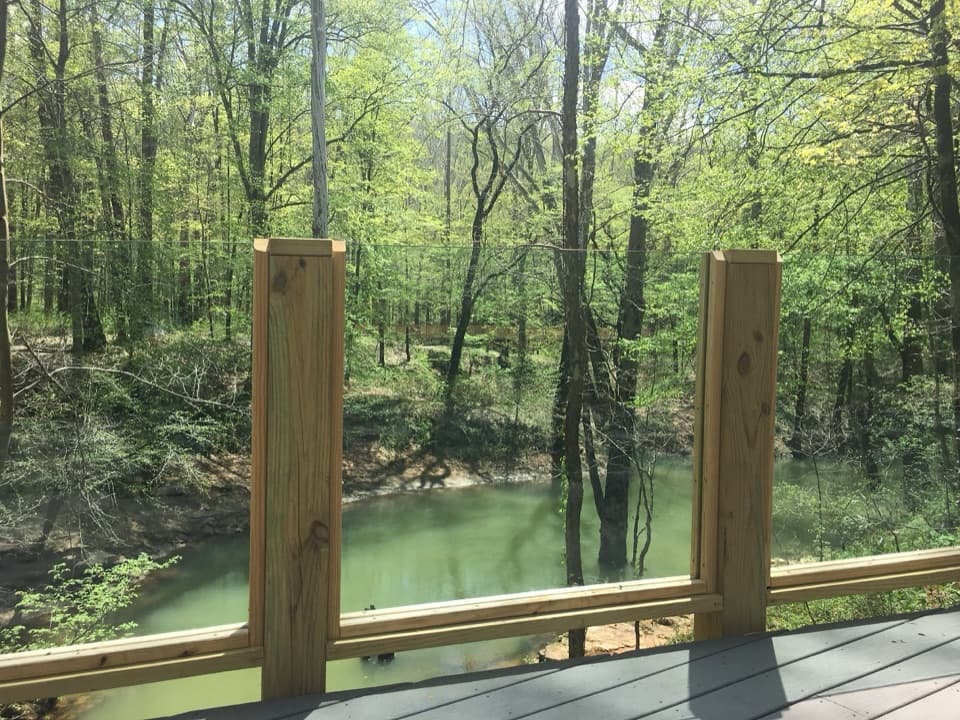
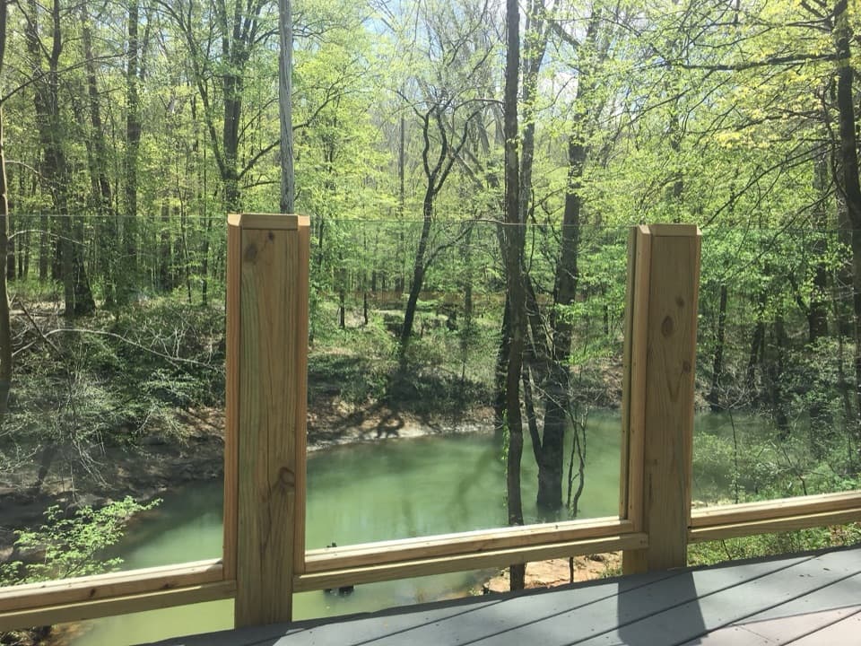
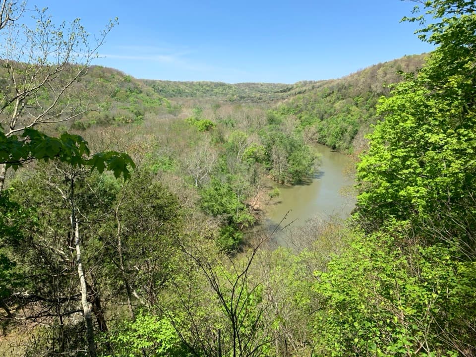
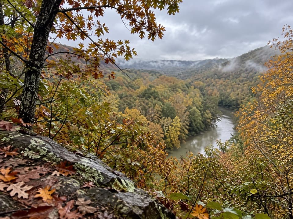
The Green River bend takes its name from the room it gave riverboats to turn around when river travel was common. This backcountry segment is separate from the 0.5-mile Turnhole Bend Nature Trail on the other side of the river, which leads to the overlook.
Parkwolf’s verdictWhy it's called Turnhole Bend

Map & elevation

The route

Loading the Mammoth Cave map
Full map
Elevation643–879 ft
TrailheadBuffalo Creek Trail junction (north end)37.19836, -86.15626
Keep this map with you offline in the Parkwolf app

Plan your hike

Before you go

Parking

Use Maple Springs Trailhead and follow Buffalo Creek Trail to the north junction; this is the quickest documented approach. There is no road access at the junction, and the 1.8-mile figure starts there, so add the approach and plan your return from the campsite.


Safety

The campsite approach drops into and climbs out of a deep ravine on a steep pitch. Narrow trail and horse-hoof depressions can make footing uneven, especially when wet. Horses use this route; step aside and keep pets calm as they pass. Pets must be leashed no longer than six feet. Backcountry camping requires a permit.

4 active Mammoth Cave alerts

  • ClosureAccessible Tour unavailableThe Accessible Tour is currently unavailable because mechanical issues have taken the cave elevator out of service. - Check back for updates or call the visitor center at (270) 758-2180.Official details
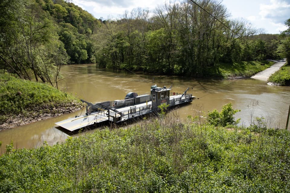
  • ClosureGreen River Ferry temporarily out of serviceThe Green River Ferry has temporarily suspended operations because low water levels make service unsafe. - Ferry service will resume once water levels rise and conditions are safe.Official details
See all 4 alerts
A park ranger sits on a dash-mounted phone, talking, as Parkwolf’s Tour Guide plays “Army Cutworm Moths: A Grizzly Bear Buffet” on Grand Loop Road below Dunraven Pass in Yellowstone
Parkwolf Tour GuideThe highest, rockiest slopes around here are a summer buffet for grizzly bears.

Mammoth Cave Tour Guide

Your drive to Turnhole Bend Trail, narrated.

Parkwolf is a GPS audio tour guide for Mammoth Cave National Park. As you drive, it chimes in with what’s ahead: hidden gems, upcoming stops, history, geology, and wildlife, right through your car’s speakers.

Recorded for this area

Good Spring Baptist Church and Cemetery
0:00 / 0:29
“Good Spring Baptist Church and Cemetery is coming up, a short history stop near Maple Springs. Give it a few minutes to look beyond the little white church.”

Plays on the road 0.9 mi from the trailhead in the Parkwolf Mammoth Cave Tour Guide.

More stories near here in the app

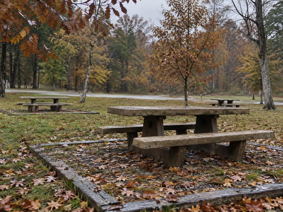
  • Maple Springs Day Use Area
  • One Tree, Many Trunks
  • A Mussel’s First Ride
  • An Acorn's Autumn Start
  • 52 audio storiesacross Mammoth Cave’s roads, triggered by GPS as you drive
  • Wildlife heatmapsfor White-tailed Deer, Tricolored Bat, Cave Salamander, and 13 more
  • Works offlinemaps, 47 trails, 42 places, and audio download before you lose signal
  • CarPlay readysimple controls built for the drive
★★★★★
“Fantastic app with many points of information… It’s great to just turn on while you’re driving and it gives you an audio tour of the national Park. We love it!!!!”
JMJamesApp Store review
Download Parkwolf on the App StoreGet Parkwolf on Google Play

4.7 from 8,600+ ratings

Trail guide

Hiking Turnhole Bend Trail

What this trail actually isTurnhole Bend Trail is a backcountry connector from Buffalo Creek Trail to Turnhole Bend…

Turnhole Bend Trail is a backcountry connector from Buffalo Creek Trail to Turnhole Bend Backcountry Campsite on the Green River. The National Park Service lists the segment at 1.8 miles; the mapped line is just under 2 miles, one way. It is not a road-access hike: reaching its north junction adds a separate backcountry approach. Allow about an hour for this segment in one direction; walking it back roughly doubles the segment before adding your Buffalo Creek approach.

Follow the routeFrom the Buffalo Creek junction, the first 0.2 mile climbs moderately along an old dirt road.

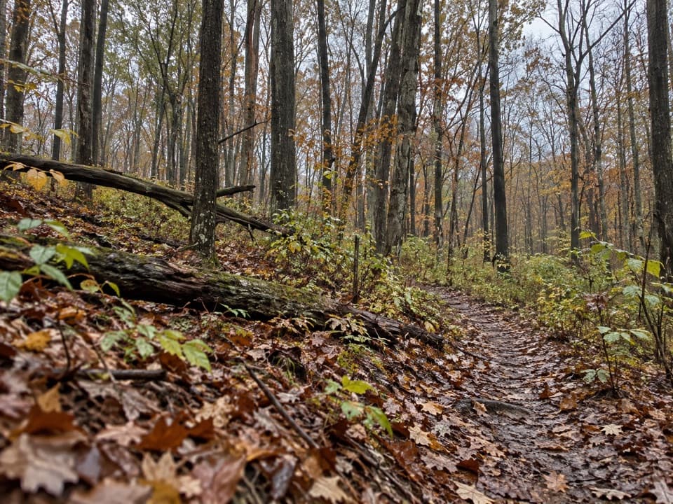
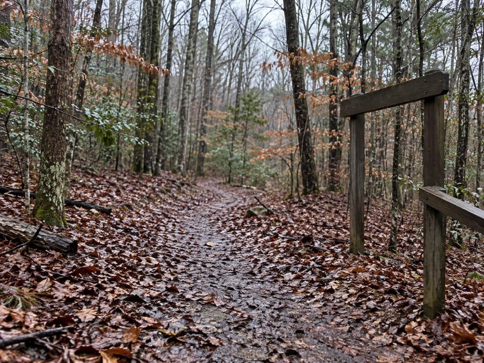
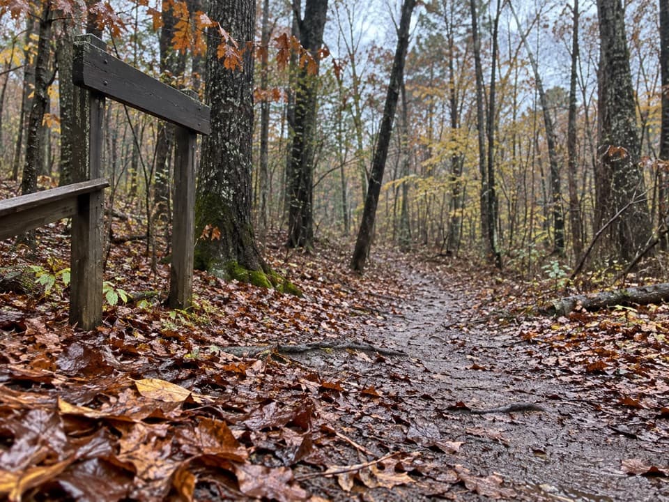
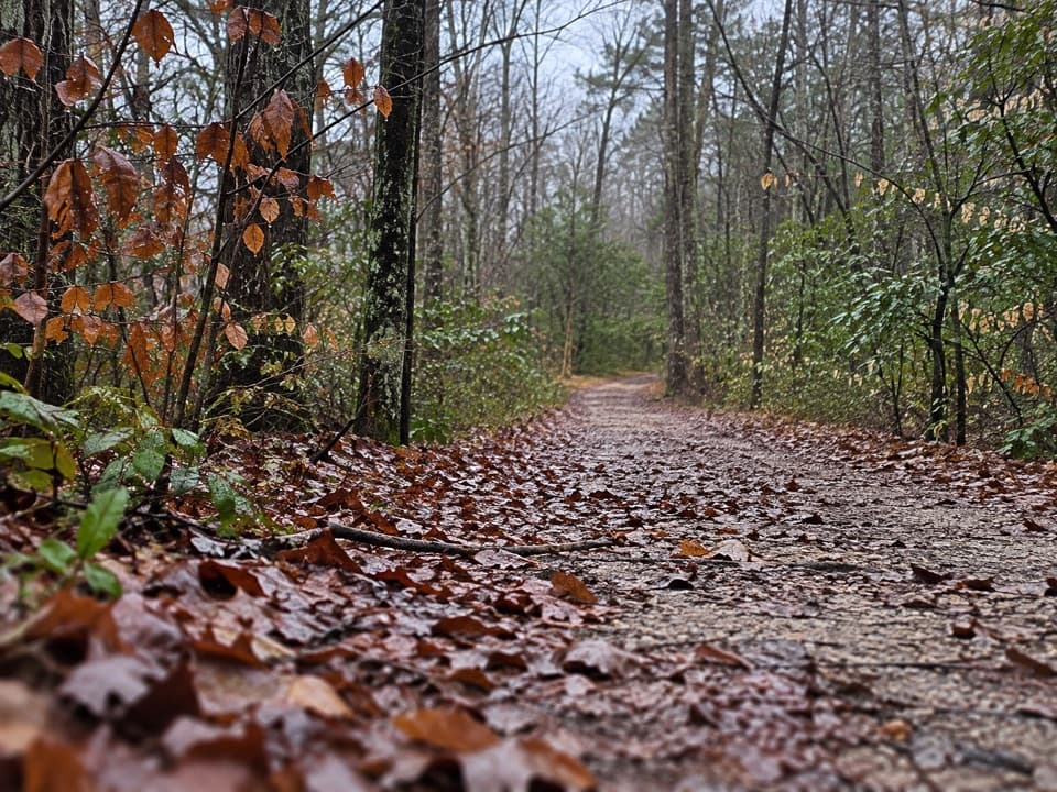
From the Buffalo Creek junction, the first 0.2 mile climbs moderately along an old dirt road. After that the route generally trends downhill, with a few mild rises. At about 0.6 mile, cross Sal Hollow Trail and continue straight toward the campsite. Roughly a third of a mile beyond the junction, the wider road narrows to a footpath. Horses use this route, and hoof impressions can leave an uneven, muddy surface after rain.
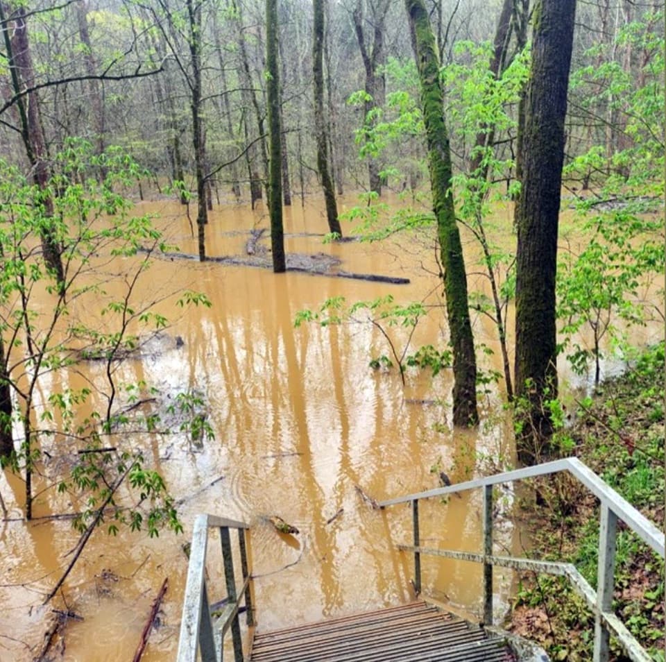
The campsite ravineNear the end, the trail becomes narrow and drops into a deep ravine before climbing back out…

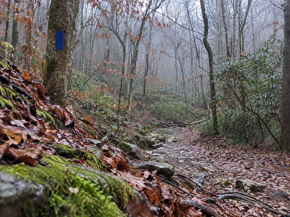
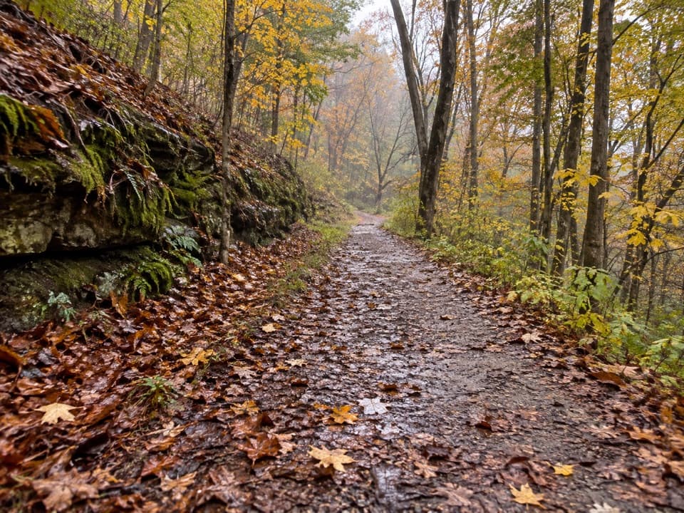
Near the end, the trail becomes narrow and drops into a deep ravine before climbing back out toward camp. The campsite-side climb is short but steep, roughly a 23% grade over about 150 feet, with camp about 100 yards farther on. If you turn around here, expect to cross the ravine again on the return. An overnight stay at the backcountry campsite requires a permit.

Wildlife

Wildlife in Mammoth Cave

All Mammoth Cave wildlife maps

Sighting maps show where each species has been reported across Mammoth Cave. Wildlife moves, so no sighting is guaranteed.

Keep exploring

Near Turnhole Bend Trail

See it all on the map

Trails that start nearby

Places near the trailhead

Parkwolf’s Mammoth Cave ranking

Top-rated trails in Mammoth Cave

All 47 trails
  1. 1Cedar Sink TrailModerate · 1.6 mi
  2. 2Echo River Springs Loop TrailEasy · 0.7 mi
  3. 3Green River Bluffs TrailModerate · 1.3 mi
  4. 4River Styx Spring TrailModerate · 0.4 mi
  5. 5Heritage TrailEasy · 0.7 mi
  6. 6Sunset Point TrailModerate · 0.3 mi

Take Parkwolf to Mammoth Cave.

The audio tour guide for the drive, plus offline maps, trails, and wildlife heatmaps for when the signal drops.

4.7 from 8,600+ ratings

Download Parkwolf on the App StoreGet Parkwolf on Google Play