Pros & cons
PROS
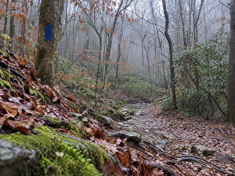
- Quarter-mile posts and blue blazes make navigation simple in deep woods
- Direct access to Sal Hollow and Bluffs backcountry campsites
- Noticeably fewer people than around the main visitor center
CONS
- Horse-churned mudholes and ruts slow progress after rain
- Western half can be overgrown with occasional swampy footing
- Summer bugs and spider webs can be relentless
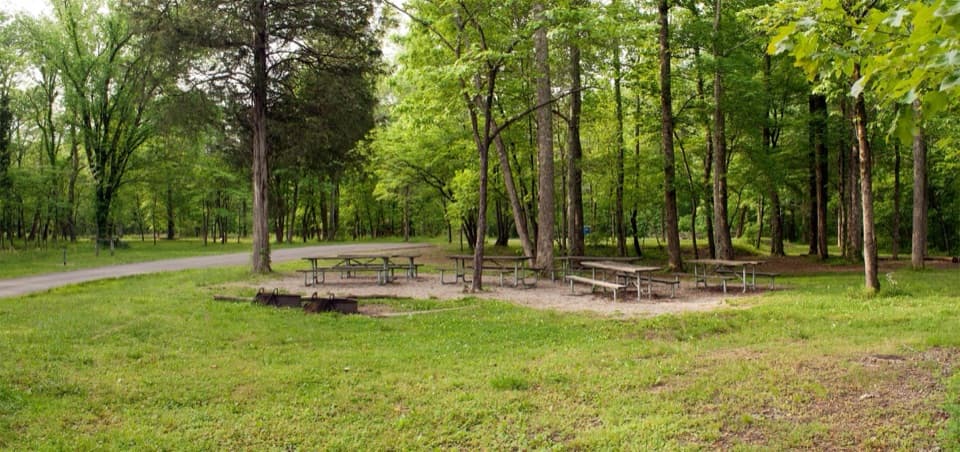
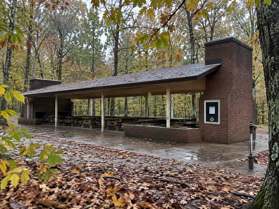
Park at Maple Springs Trailhead; the Sal Hollow/Buffalo Creek start is across the road. Vault toilets available.
Shared with horses—yield and expect manure, ruts, and mud. Rocky sections can be slick when wet; multiple small creek crossings. Bring bug/tick protection and a better-than-brochure map.
Overview
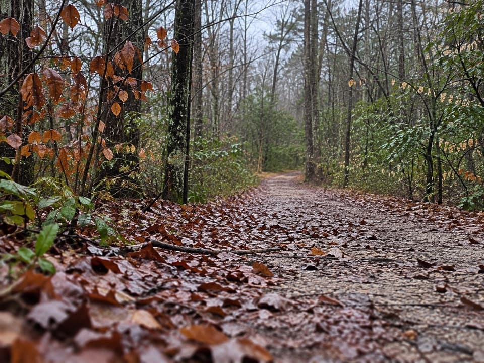
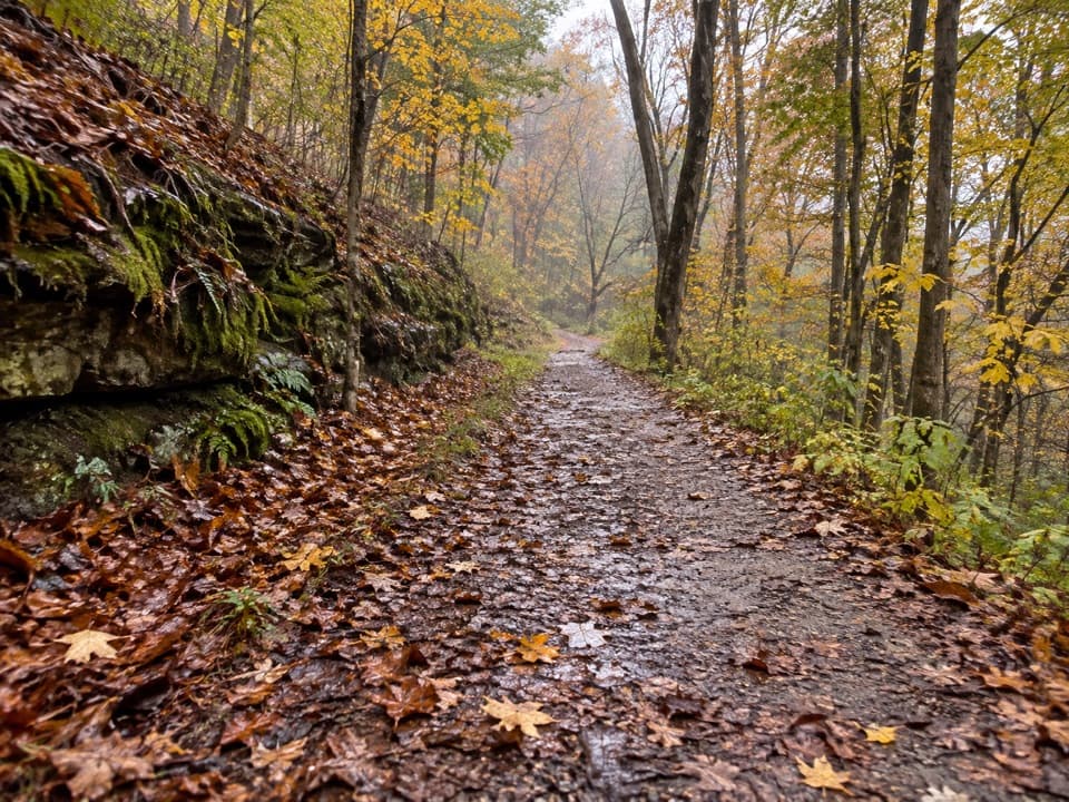
Sal Hollow is an 8.5-mile one-way backcountry trail running from Maple Springs Trailhead west to Buffalo Creek. It’s open to hikers and horseback riders (no bikes), and it delivers a woodsy, often quiet walk with a few modest hills, small creek crossings, and a real chance to escape the bustle. Expect a mostly narrow, smooth tread with stretches that have been chewed up by hooves.
Route Options
Most day hikers stitch Sal Hollow into a loop with Buffalo Creek. The classic shorter loop is about 5.5 miles with roughly 360 feet of gain—an easy, pleasant sampler of the area. If you’re committing to the full one-way Sal Hollow, you’ll intersect Turnhole Bend near the midpoint, which can serve as a bailout or variation, before finishing at Buffalo Creek on the west end.
Trail Character and Conditions
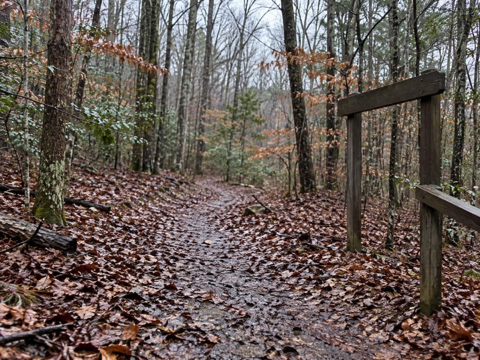
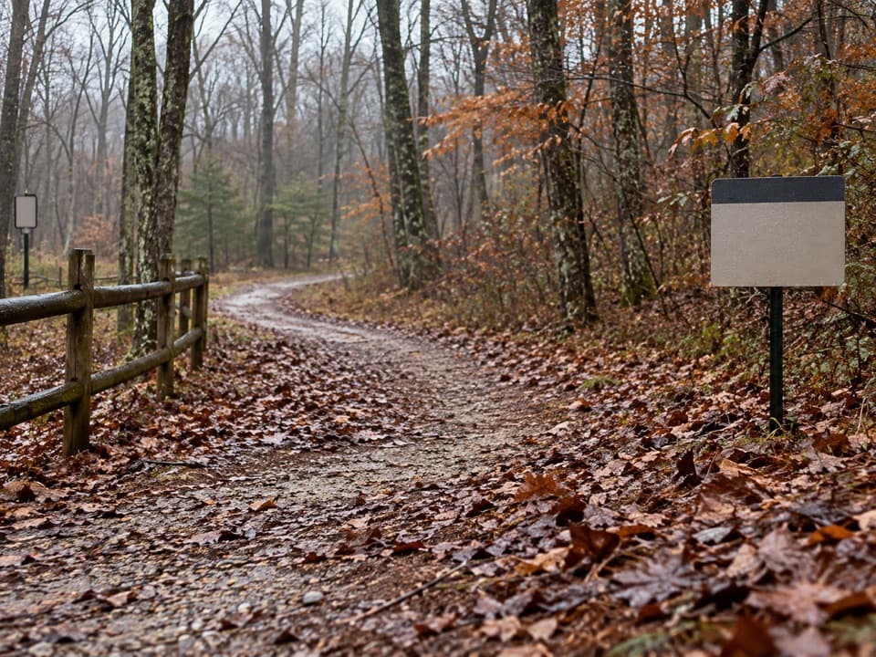
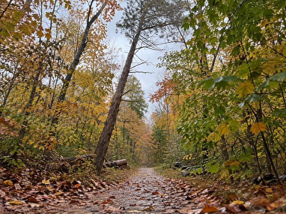
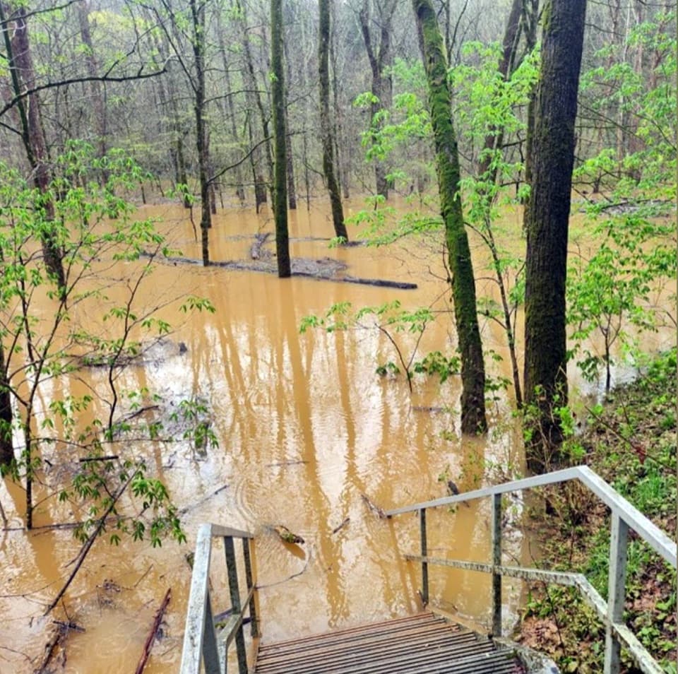
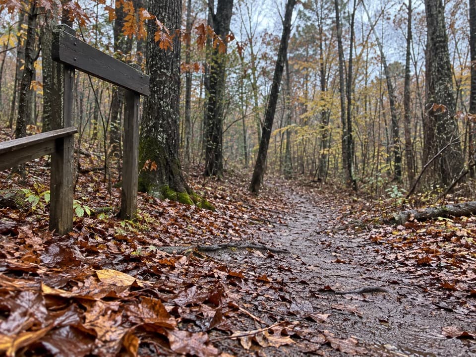
Blue blazes and quarter-mile markers make navigation straightforward, and intersections are generally clear. Underfoot, the story is mud: horses churn up long, gully-like wallows that linger after rain. Many of these have side paths where people have detoured around the mess. You’ll also encounter a few creek crossings (some with helpful rocks or logs and one with a bridge). The eastern half tends to feel more traveled and tidy; farther west, the corridor can get brushy and less used, with occasional swampy footing. After wet spells, a rocky, sustained downhill in the western half can be slick and ankle-taxing.
Camping and Connections
Sal Hollow is the most direct way to reach the Sal Hollow backcountry campsite and also ties into the trail to Bluffs campsite. Backcountry camping here requires a permit. Water sources exist along the way but treat everything you collect. If you’re aiming for a quiet night out, this network sees far fewer people than the busy visitor center area.
Tips and Gear
Aim for dry conditions to avoid the worst mud. Wear waterproof boots and consider trekking poles for slick sections and creek crossings. Summer brings bugs, ticks, and spider webs—pack repellent and a head net or use a pole to clear webs. The park’s free brochure map is pretty bare-bones; a more detailed waterproof map is worth carrying if you plan to roam beyond the basic loop.
Best Time to Hike
Go after a dry spell. Warm-season mornings can be laced with spider webs, and August can feel especially buggy. Shoulder-season trips are typically calmer, with fewer insects and less overgrowth, and weekdays are reliably quieter than weekends.
Elevation
8.5 mi · 4 hrWhere it starts
37.2058, -86.1385Wildlife on this trail
Near Sal Hollow Trail
All places →All trails →
0.2 mi awayMaple Springs CampgroundQuiet group-and-horse camp with hookups and backcountry trail accessCampground · Restroom
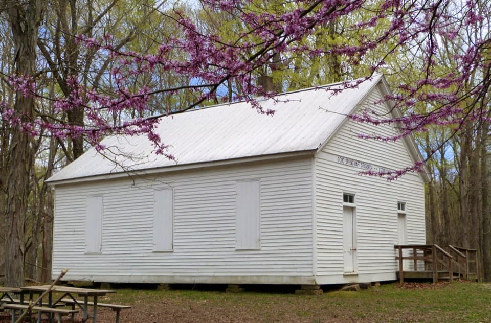
0.5 mi awayGood Spring Baptist Church and CemeteryPioneer-era church and quiet cemetery in a wooded hollow
0.8 mi awayBig Hollow North LoopFlowy, shaded singletrack with easy climbs and optional challengesModerate · 5.3 mi · 2 hr
2.1 mi awayRiver Styx SpringUnderground river resurges to meet the Green River below bluffsScenic Viewpoint
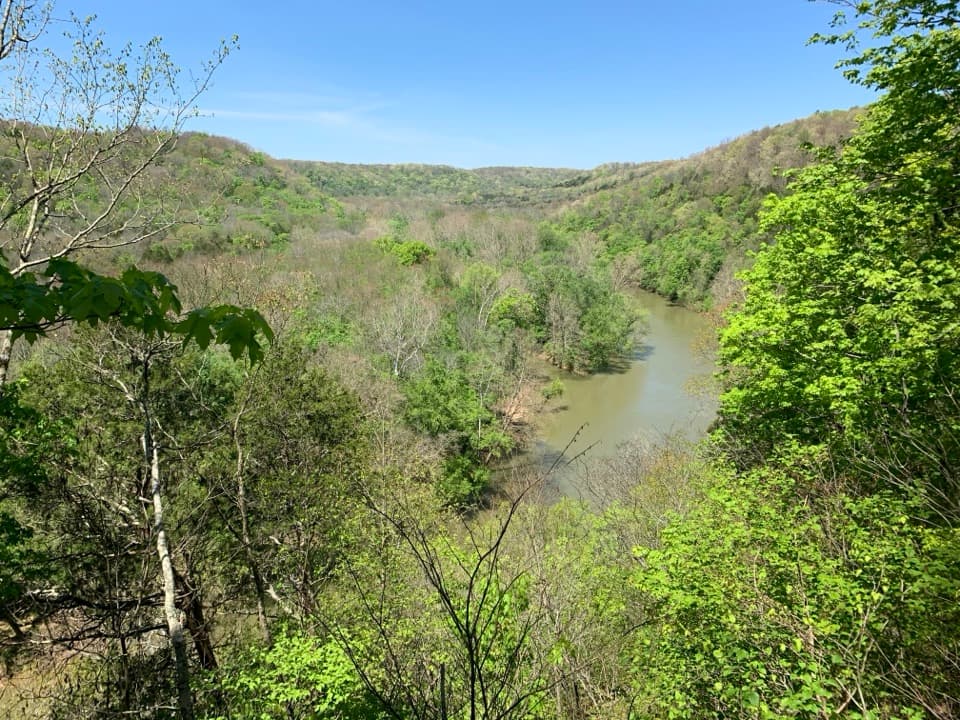
2.1 mi awayGreen River Bluffs OverlookShaded bluff perch over the Green River's winding valleyScenic Viewpoint · Exhibit
2.3 mi awayGreen River Bluffs TrailShady ridge walk to river overlooks and a rocky, switchback plunge.Moderate · 1.5 mi · 1 hr
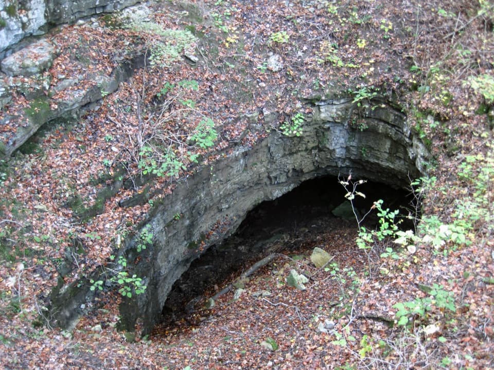
2.3 mi awayMammoth Dome Sink TrailShort, steep hike to a karst sinkhole with real cave context.Moderate · 2.2 mi · 1.5 hr
2.3 mi awayEcho River Spring TrailEasy, accessible loop to see an underground river meet the GreenEasy · 0.7 mi · 18 min