Pros & cons
PROS
- Quick 0.5-mile loop to a Green River viewpoint
- Benches and interpretive signs at the overlook
- Spring wildflowers and classic karst sinkholes along the way
CONS
- Summer foliage can partially block the view
- No restrooms at the trailhead or overlook
Overview
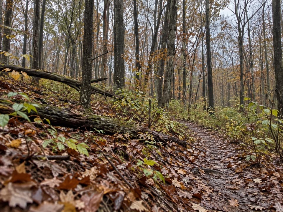
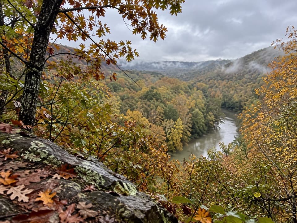
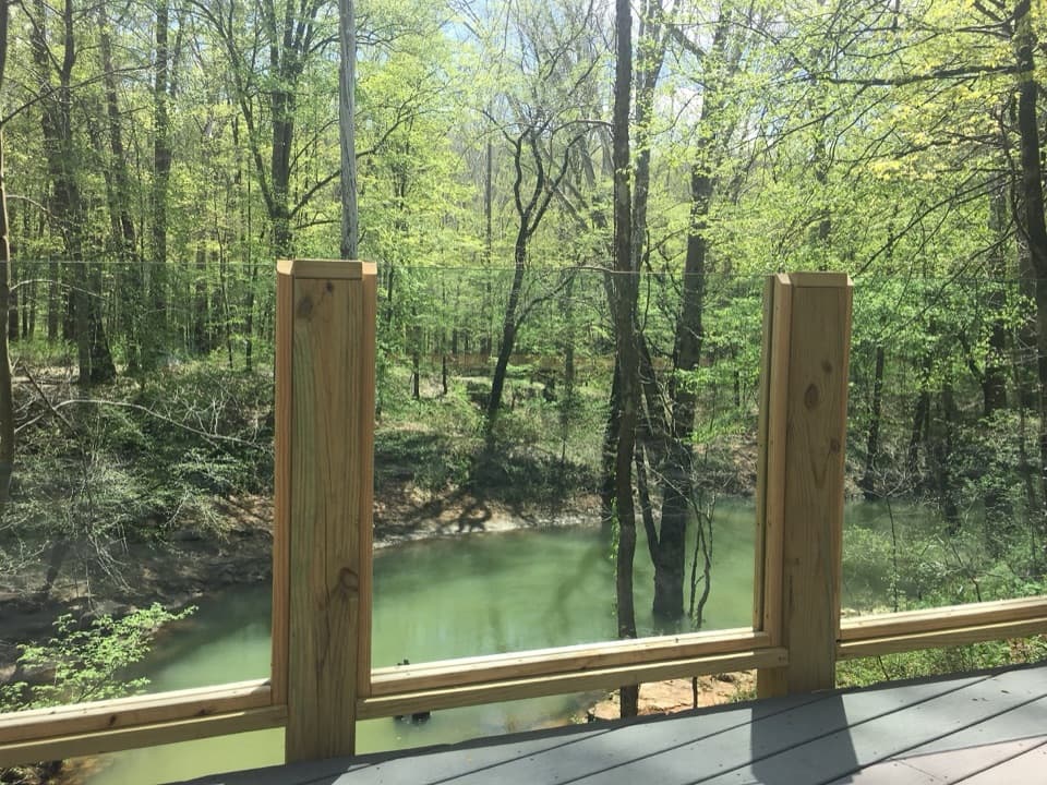
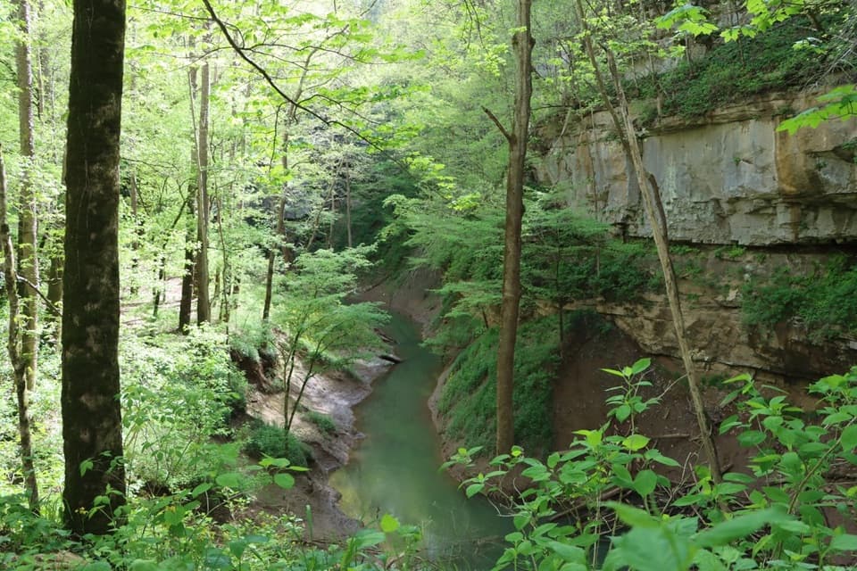
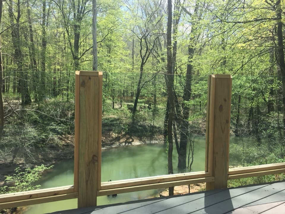
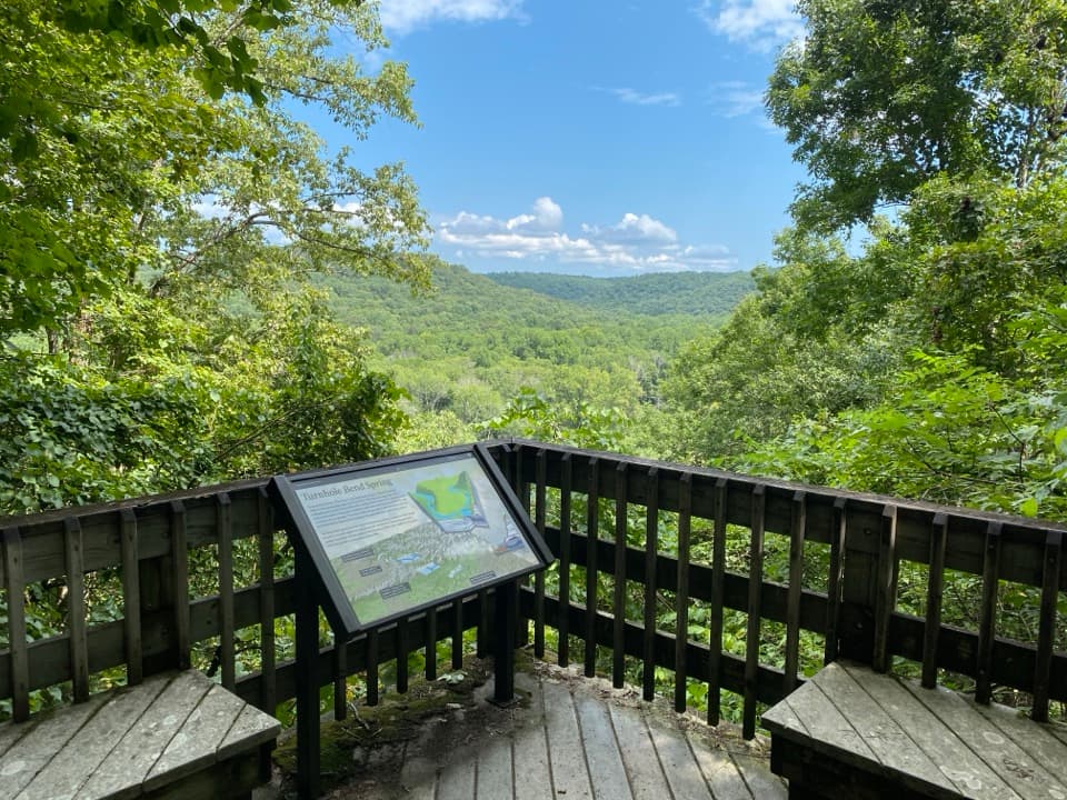
This is a short, rewarding stop: a forested 0.5‑mile nature trail loop leads to an overlook of the Green River and the park’s north side. It’s one of the park’s better above‑ground viewpoints, with benches and an interpretive panel that puts the landscape in context.
What You’ll See
- Green River vistas from a bluff-top perch, with a seasonal glimpse of Turnhole Bend Spring below.
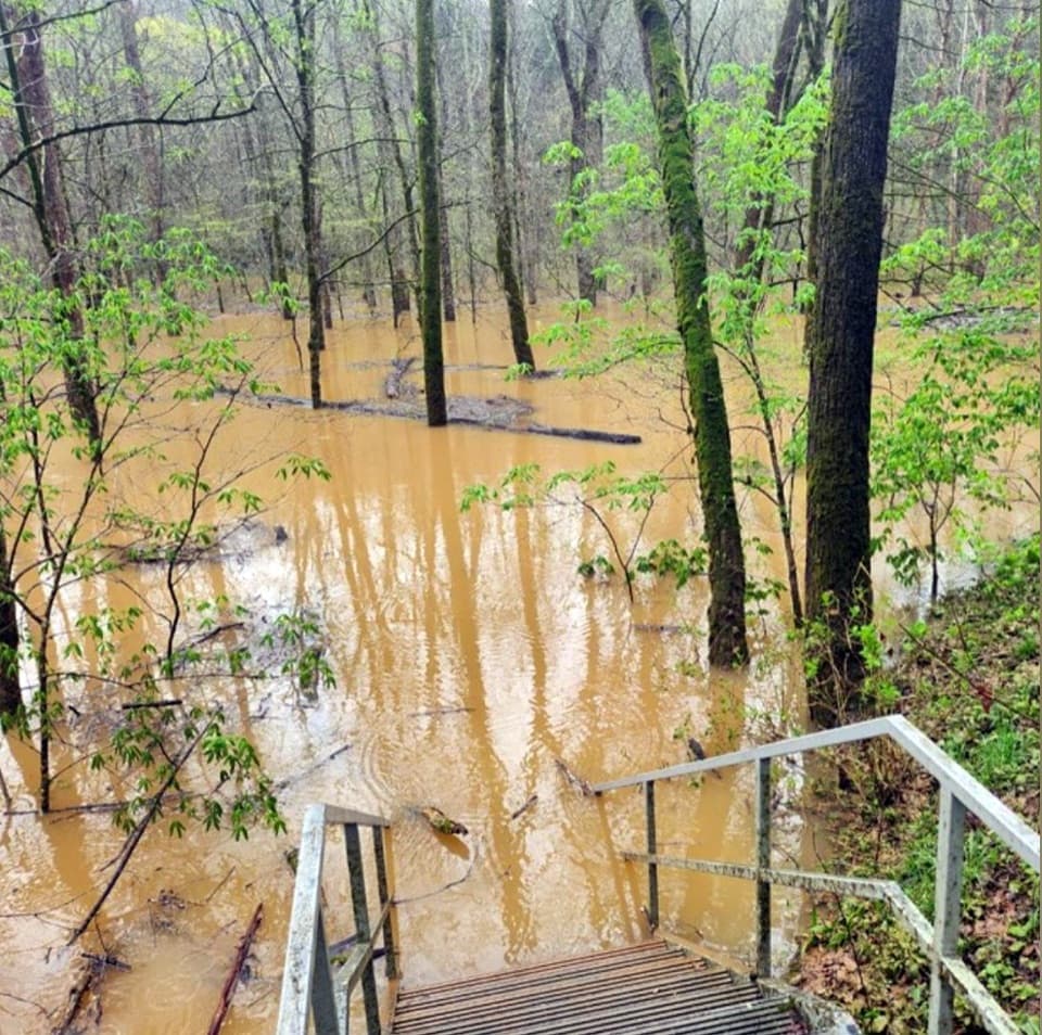
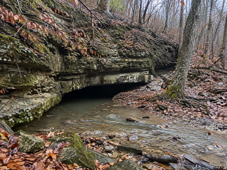
- Karst features—sinkholes, springs, and exposed limestone—right off the path.
- In spring, a surprising bloom show: trillium, phlox, celandine poppy, fire pink, Mayapple and more.
Geology and History
This hillside is textbook Mammoth Cave karst: Mississippian limestones dissolved by acidic water created caves, sinkholes, and big springs feeding the Green River. Turnhole Bend Spring, directly below, is one of Kentucky’s largest, draining a broad underground basin into the river. The bend’s name nods to the river era when boats used this wide spring-fed pool to turn around.
Trail and Logistics
The wide gravel-and-dirt loop undulates with a few short grades and some steps. The overlook sits about halfway. Expect bugs and some seasonal overgrowth in warm months. The trailhead has a small parking area along Brownsville Road; pets are allowed on leash. There are no restrooms here—plan accordingly.
Seasonal Highlights
- Spring: Wildflowers steal the show and the forest feels alive.
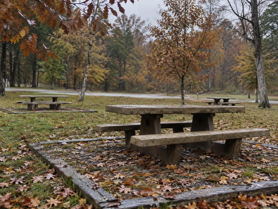
- Fall: Colorful foliage frames the river; arguably the prettiest season.
- Winter to early spring: Best chance for clear sightlines through the trees to the spring and river.
Best Time to Visit
Light is nicest early or late in the day when the river valley has depth and contrast. Weekend middays tend to be busier; early morning or late afternoon are quieter and better for photos.
Extra Context
Below the overlook near the spring, the large Patch Rockshelter marks a significant prehistoric site. It’s not on the official loop, but it hints at the long human story tied to this river corridor.
Pair It Up
Combine this quick overlook loop with nearby Cedar Sink for a half-day sampler of wildflowers and karst scenery.
Where it is
37.1624, -86.1584Tips for Turnhole Bend Overlook
- 01Aim for late fall through early spring for the clearest river views.
- 02Spring brings great wildflowers; carry bug spray in warm months.
- 03Start the loop clockwise for a gentler first half.
- 04Sunrise or late afternoon light makes the river valley pop and is quieter.
- 05Pair this stop with nearby Cedar Sink for a fuller karst sampler.
Amenities
Near Turnhole Bend Overlook
All places →All trails →
0 mi awayTurnhole Bend Nature TrailShort, hilly loop to karst sinks and a Green River overlookEasy · 0.5 mi · 30 min
0.5 mi awayCedar Sink TrailShort shady loop into a giant sinkhole with a disappearing streamModerate · 1 mi · 1 hr
0.9 mi awayCedar SinkShort stair-filled loop into a wildflower-rich karst sinkTrailhead · Parking
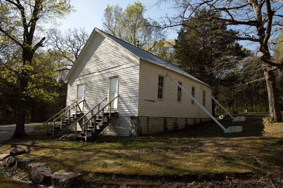
1.3 mi awayJoppa Baptist Church and CemeteryQuiet 1860s church and cemetery tucked into the woods
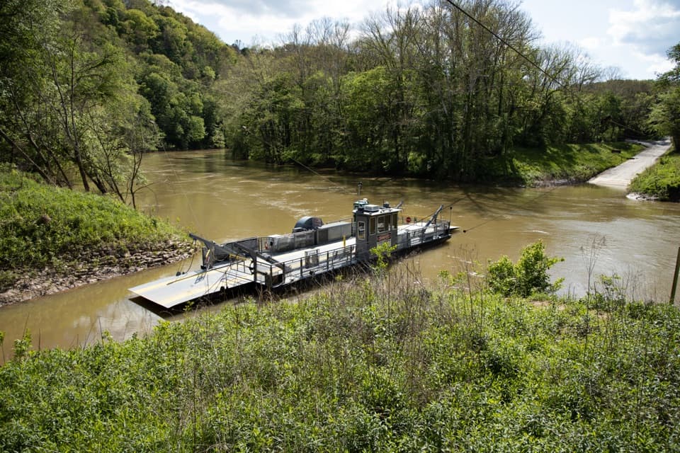
2.8 mi awayGreen River FerryWorking river ferry with boat launches and riverside trailsRestroom · Parking
2.8 mi awayEcho River Spring TrailEasy, accessible loop to see an underground river meet the GreenEasy · 0.7 mi · 18 min
3 mi awayEcho River SpringWatch Mammoth’s underground river burst back into daylightParking · Restroom
3.2 mi awaySal Hollow TrailQuiet, muddy backcountry through rolling woods and creeksModerate · 8.5 mi · 4 hr