Parking
Start at Maple Springs Trailhead on Maple Springs Loop Road. The roughly one-mile Maple Springs access trail is walked in and back on this route.
Mammoth Cave National Park, KY
A full Raymer crossing closes a long loop through the backcountry.
Overview
Map & elevation
Plan your hike

The highest, rockiest slopes around here are a summer buffet for grizzly bears.
Mammoth Cave Tour Guide
Parkwolf is a GPS audio tour guide for Mammoth Cave National Park. As you drive, it chimes in with what’s ahead: hidden gems, upcoming stops, history, geology, and wildlife, right through your car’s speakers.
Recorded for this area
Maple Springs Day Use Area“You're approaching Maple Springs Day Use Area, a useful picnic stop before exploring the north-side trails. Stop here for a meal you've brought or a woodland walk; there's no overlook to seek out.”
Plays near this trailhead in the Parkwolf Mammoth Cave Tour Guide.
More stories near here in the app
“Fantastic app with many points of information… It’s great to just turn on while you’re driving and it gives you an audio tour of the national Park. We love it!!!!”


Trail guide
This is a 12.5-mile round-trip loop from Maple Springs Trailhead. It is a long, moderate backcountry day; allow about seven hours. The route takes the Maple Springs access trail to Mill Branch, follows Mill Branch to Collie Ridge, uses a short Collie Ridge connector to reach the north end of Raymer Hollow, then follows the full 6.2-mile Raymer Hollow Trail back to Mill Branch. The lower Mill Branch section is repeated on the way back, and the Maple Springs access is walked in and out.
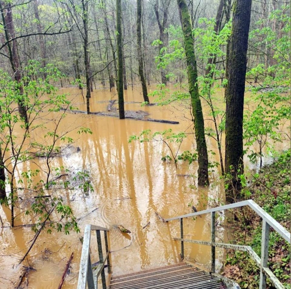
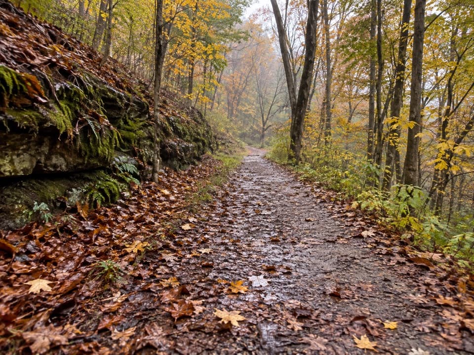
Mill Branch is a dirt trail shared with horses. The section near Collie Ridge is the roughest, with horse-worn ruts, rocks and mud that can slow your pace. The route crosses the stony beds of Dry Prong and Mill Branch; flow varies, so the rock steps may be dry or wet. Near Mill Branch, a turn at the creekbed is easy to miss when the tread blends into the rocks.
Raymer Hollow is a smoother, wider path through forest, with a handful of short hills. It crosses Dry Prong in a ravine and has a small footbridge over another stream. Quarter-mile posts help track the distance, though some are missing. A short signed spur leads to Raymer Hollow Backcountry Campsite; overnight stays require a backcountry permit.
Pick up the backcountry map at the Visitor Information desk or Mammoth Cave Campground kiosk before setting out. There are several junctions, and some distance markers are missing. Leashed pets are allowed on the park's surface trails, with a six-foot leash limit. If horses approach, move yourself and your pet aside and keep the dog calm while they pass. Ticks and poison ivy are backcountry hazards.
Wildlife
 227 sightingsWhite-tailed DeerMost seen around 7 AMSighting map
 21 sightingsTricolored BatMost seen around 8 PMSighting map
 75 sightingsCave SalamanderMost seen around 6 PMSighting map
 149 sightingsWild TurkeyMost seen around 7 AMSighting map
 13 sightingsBarred OwlMost seen around 7 PMSighting map
 40 sightingsSnapping TurtleMost seen around 11 AMSighting map
Sighting maps show where each species has been reported across Mammoth Cave. Wildlife moves, so no sighting is guaranteed.
Keep exploring
 ModerateBig Hollow North and South Loops Trail11.1 mi · 4.5 hr · At the trailheadTwo wooded loops, a creek footbridge, and a rocky southern climb.
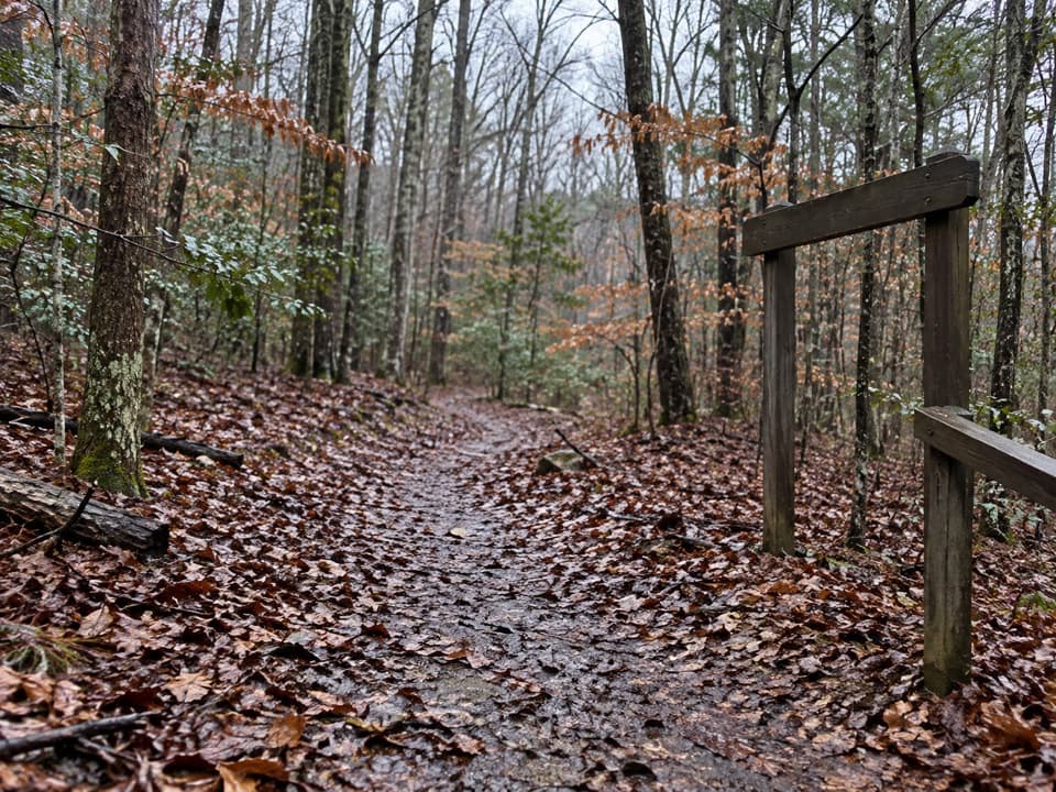 ChallengingSal Hollow & Buffalo Creek Loop10.8 mi · 7 hr · At the trailheadA long hardwood loop with creek crossings and a rough hollow descent.
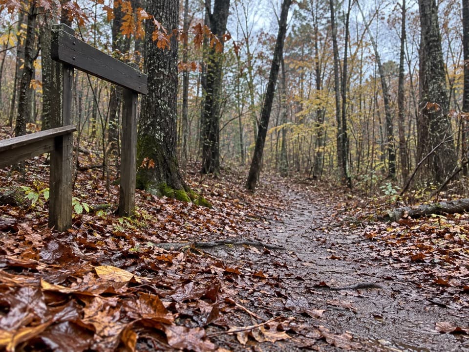 ModerateSal Hollow Trail8.6 mi · 4.5 hr · At the trailheadA long woodland walk with muddy ruts and a small creek cascade.
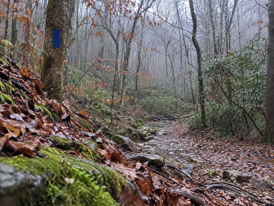 ModerateBuffalo Creek, Collie Ridge & Mill Branch Loop9.3 mi · 5 hr · At the trailheadA 9.3-mile backcountry loop with creek crossings and rocky climbs.
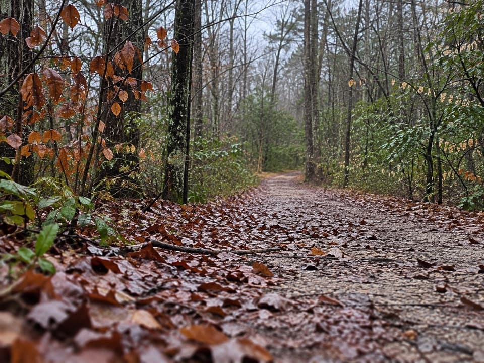 ModerateBuffalo Creek Trail4.4 mi · 2.5 hr · At the trailheadA backcountry road past sinkholes and muddy, stone-filled patches.
 ModerateMaple Springs, Buffalo Creek Trail, and Raymer Hollow Trail Loop14.2 mi · 6 hr · At the trailheadA long backcountry circuit through wooded creek and ridge trails.
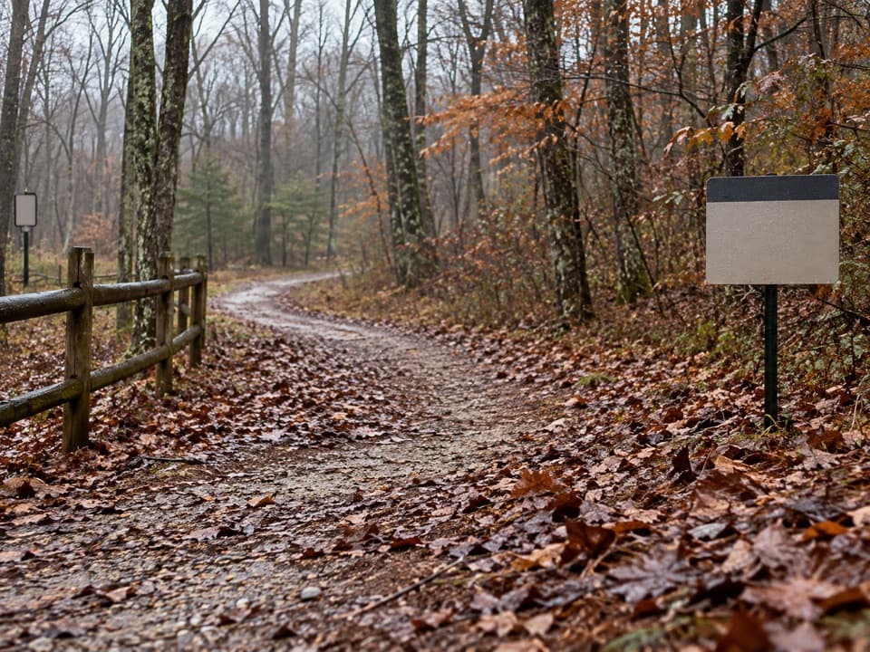 EasyMaple Springs Trail1 mi · 20 min · At the trailheadA short gravel connector opens into the north-side trail network.
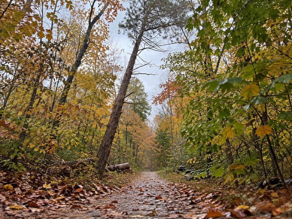 ModerateBig Hollow Trail North Loop5.3 mi · 2.7 hr · 0.6 mi awayA 5.3-mile forest loop on shared, rooty singletrack.
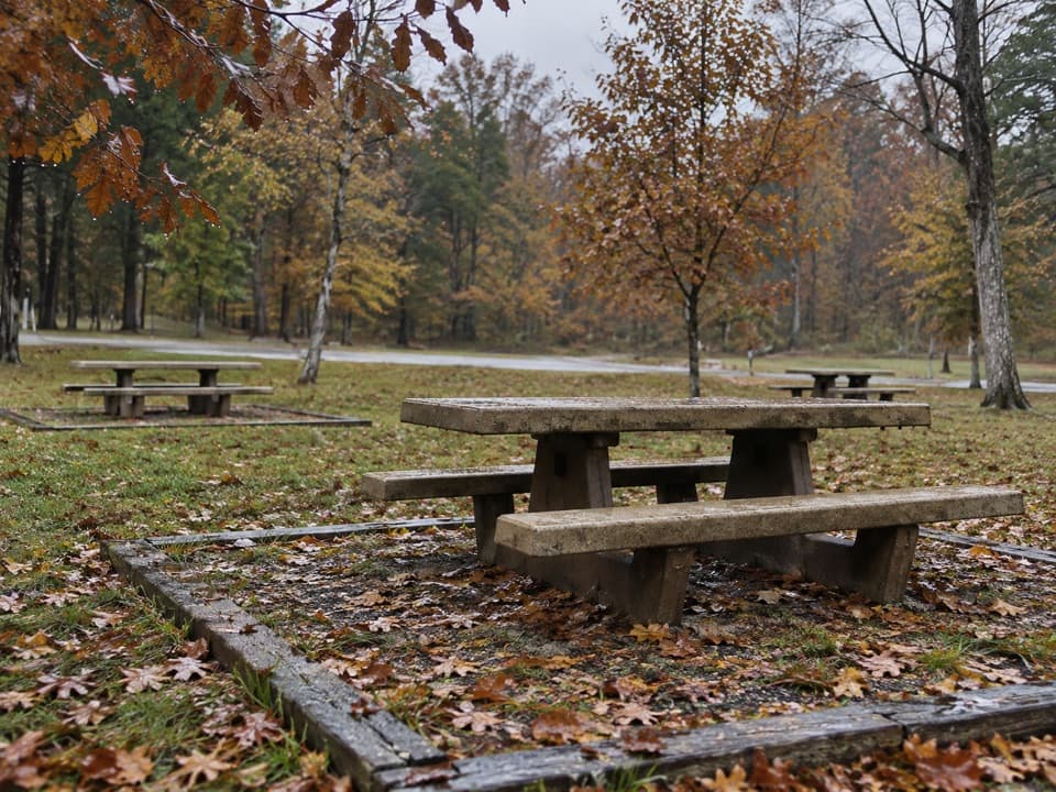 Picnic area · At the trailheadMaple Springs Day Use AreaPicnic tables with access to north-side hiking and horse trails.
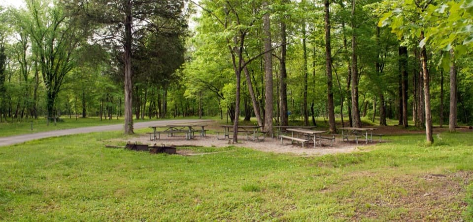 Campground · 0.2 mi awayMaple Springs Group CampgroundA quiet base for group camping near northern backcountry trails.
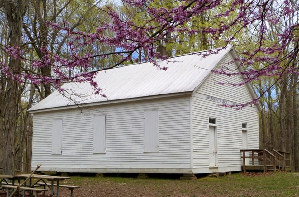 Sight · 0.5 mi awayGood Spring Baptist Church & CemeteryA small church and cemetery preserve the lost Cade community.
 Sight · 2.1 mi awayRiver Styx SpringA short walk to see cave water emerge at the surface.
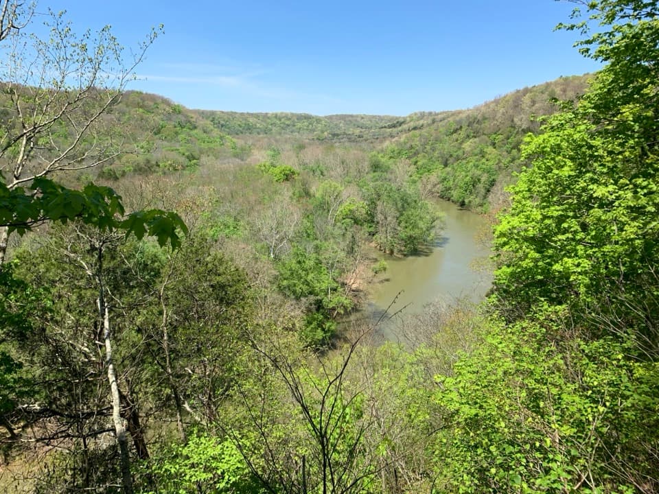 Sight · 2.1 mi awayGreen River Bluffs OverlookCatch the Green River's curves from this wooded overlook.
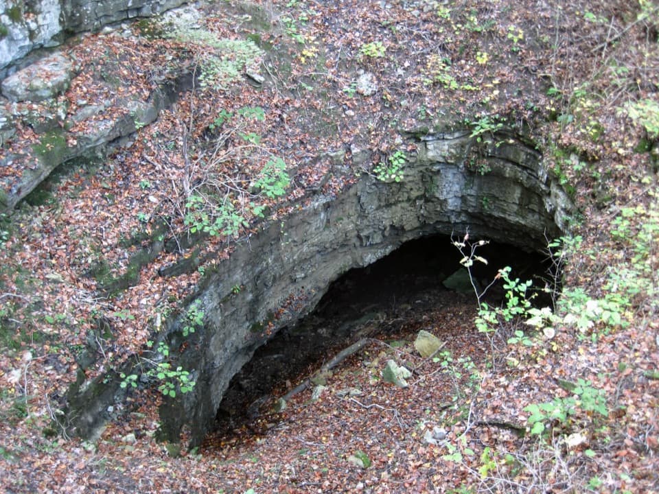 Sight · 2.2 mi awayDixon Cave OverlookA raised deck for a quick look at Dixon Cave’s limestone entrance.
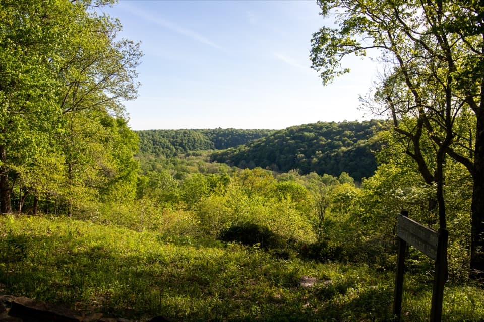 Sight · 2.2 mi awaySunset PointAn easy, accessible trail opens onto the Green River valley.
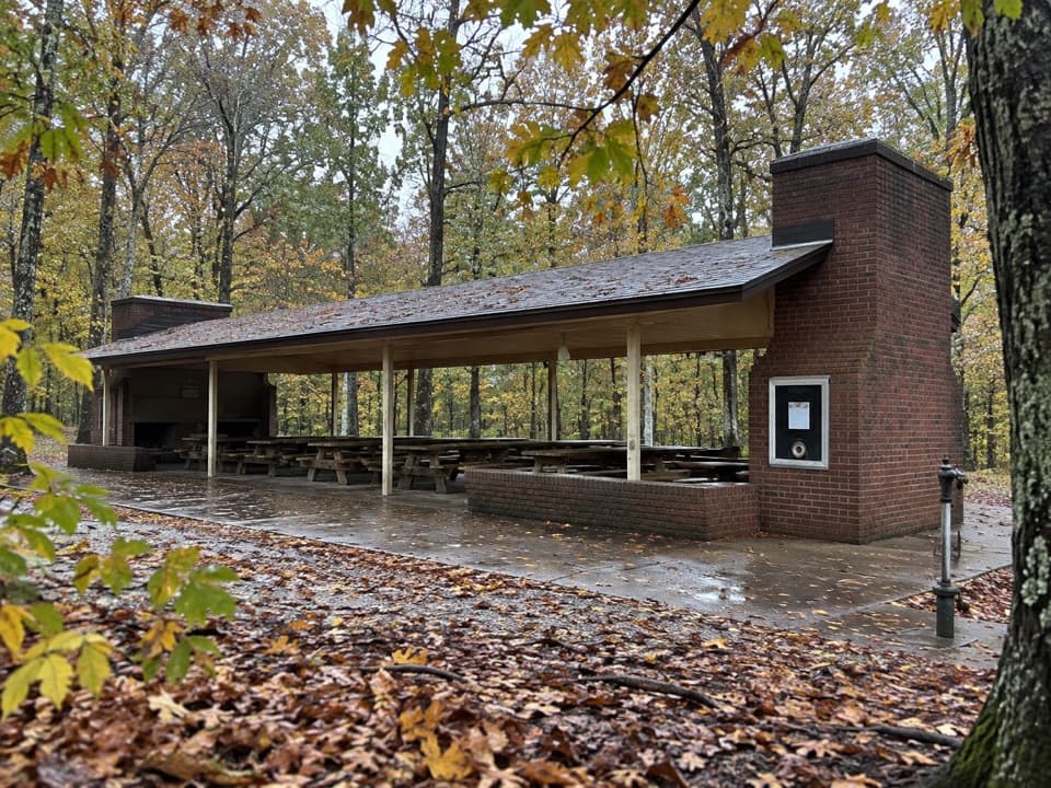 Picnic area · 2.2 mi awayMammoth Cave Picnic AreaThe park's biggest picnic grounds have grills, drinking water, and trails.
Parkwolf’s Mammoth Cave ranking

The audio tour guide for the drive, plus offline maps, trails, and wildlife heatmaps for when the signal drops.