
Place · 4.9 mi away
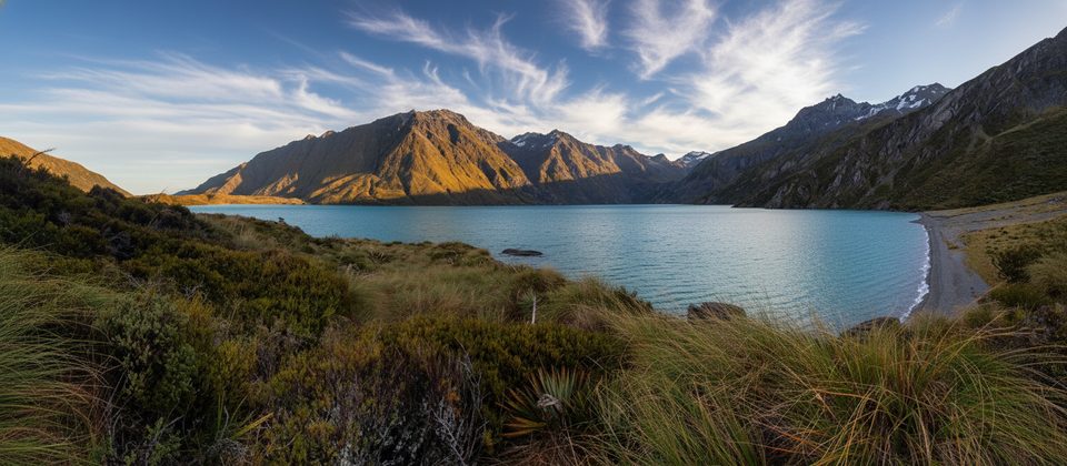
Lake Lochnagar (also known as Ōtaka or Goat Lake) sits in a steep-walled alpine basin near Mt Tyndall in the northern Richardson Mountains. The lake occupies a dramatic landslip-dammed hollow, ringed by tussock, scree and schist, with a subterranean outlet to Lake Creek. It’s remote, raw, and staggeringly pretty—very much a backcountry reward rather than a roadside stop.
There’s no easy, maintained DOC track to the lake. Most parties either:
Helicopter access is common; if you plan to land, arrange a DOC helicopter landing permit (allow up to five days for processing). From the Rees–Dart side, the Muddy Creek car park is the standard start; conditions change quickly and it’s not advisable to leave vehicles beyond the creek. Chinamans Bluff car park is 2WD in fine weather only and also subject to washouts.
Expect sections with no formal marking, steep sidles, bluffs, scrub bands and scree. Route-finding matters, and travel lines can be much easier at one elevation than another. This is suitable for experienced backcountry parties with solid navigation and alpine travel skills.
Avalanche risk typically runs May–November in the Wakatipu/Wānaka/Central Otago region, with possible out-of-season avalanches if snow persists. Carry and know how to use beacon, shovel and probe, and check the NZ Avalanche Advisory and ATES before committing to slopes. Weather exposure is significant; key sidles and saddles are not advisable in bad weather. Practically, late spring to autumn windows when avalanche hazard is typically lower (December–April) are the safer bet.
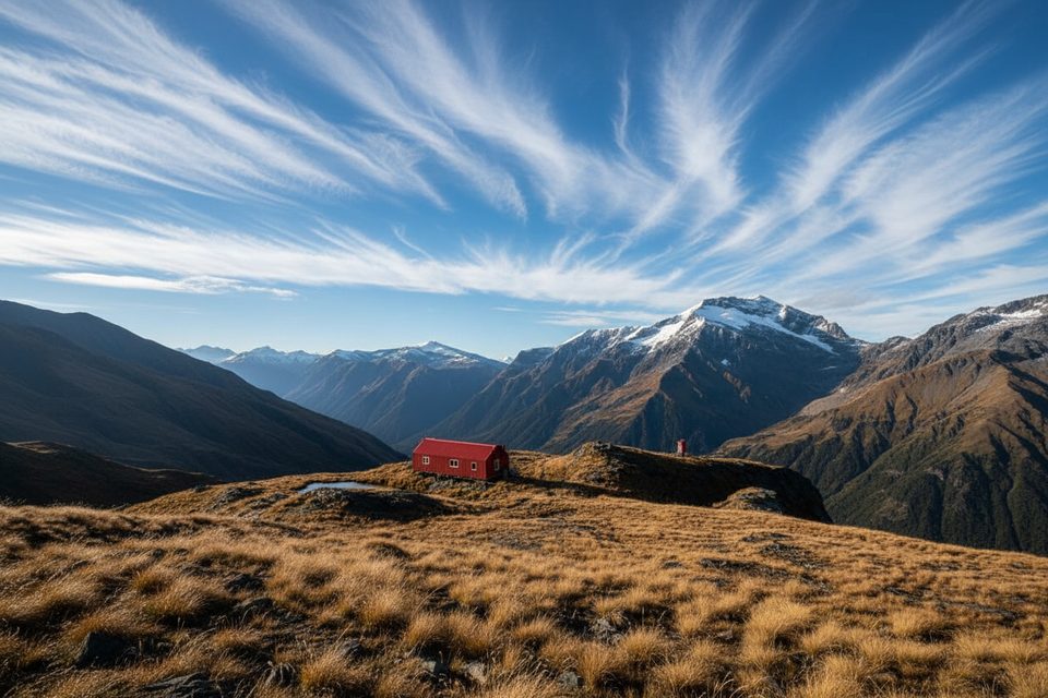
Plan for no public facilities at the lake. The only structure commonly referenced is a small private/station hut (permission required); there is no DOC hut or campground here. Pack a backcountry toilet kit and follow Leave No Trace.
Lochnagar is a DOC hunting block (red deer, chamois, goats). During the roar (10 March–31 May) bookings are restricted, numbers are capped, and permits are time-limited. Separate landowner permission is still required for any private land access. Dogs are only allowed with a hunting permit and landholder permission where relevant.
Takahē were released in the Rees Valley in February 2025 and may disperse into surrounding country. Give them space, don’t feed them, and report sightings with details (location, numbers, leg-band colors).
NZTopo50 CA10 and CA11 cover the area. Expect unmarked sections near the lake and lightly poled lines across landslip terrain; verify current track notes, bridges/cableways, and any alerts before you go.
Place · 4.9 mi away
Place · 5.1 mi away
Place · 7.6 mi away
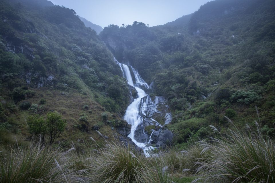
Place · 7.7 mi away
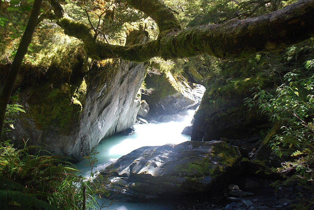
Moderate · 8.9 mi away
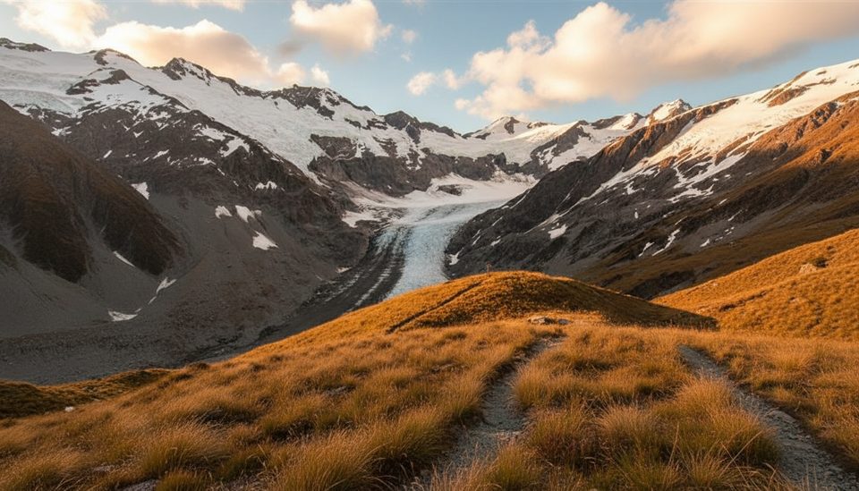
Challenging · 8.9 mi away
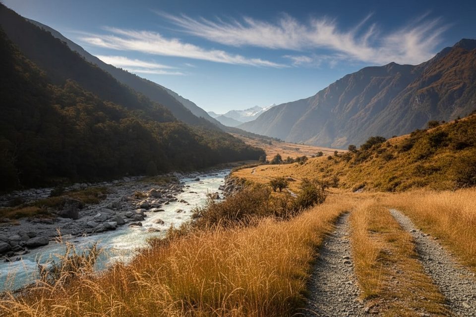
Easy · 8.9 mi away
Challenging · 8.9 mi away

Parkwolf Tour Guide
