
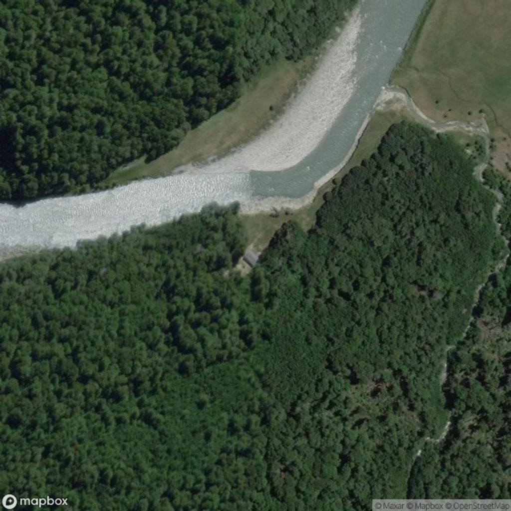
Place · 7.4 mi away
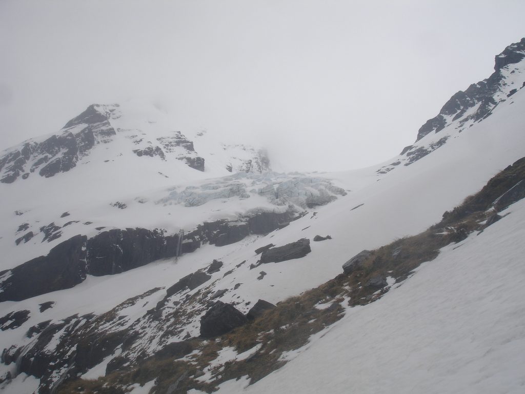
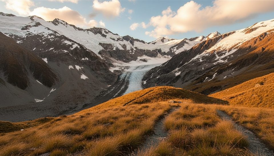
The Olivine Ice Plateau is a high, glaciated tableland straddling the Main Divide in a true wilderness corner of the park. It links headwaters of the Forgotten, Olivine, and Joe rivers and merges northward with Andy Glacier. Expect a committing, weather-exposed journey where glacier travel, passes, and long valley exits come as a package.
This isn’t a marked track or a casual viewpoint—it’s a classic New Zealand alpine traverse prized by experienced trampers and mountaineers. The plateau itself is broad and crevassed, and the approaches stitch together cols and saddles with names that carry lore: Seal Col, Desperation Pass, and Forgotten River Col. The Olivine River faultline visibly splits red ultramafic country with stunted scrub from “blue” bedrock with lush bush—geology you can see underfoot.
Bring a full glacier kit (rope, harnesses, crevasse rescue), crampons, and at least one technical axe per person depending on comfort for short icy steps. Hard maps plus GPS with a whiteout plan are essential. Alpine starts help with firmer morning snow; probe and space conservatively on bridges, and be ready to pitch or rappel the icier pinches. Carry a mountain radio or PLB and food for weather holds.
The area was explored and mapped in the 1930s by J. T. Holloway; Jack Holloway’s party first traversed Desperation Pass (Dart to Joe) in 1935. Along the Olivine River a major fault sharply separates red ultramafic rocks with sparse vegetation from blue-toned bedrock flanked by lush bush—one of the more striking in-field geology lessons you’ll get on a multi-day route.
Parties often target February for firmer bridges and lower rivers, but short weather windows are the norm. Build generous buffers. Aim to hit the plateau early in the day for better snow and visibility. In shoulder seasons, avalanche exposure and removed bridges on feeder tracks can complicate access—check current conditions with local authorities before committing.
Place · 7.4 mi away
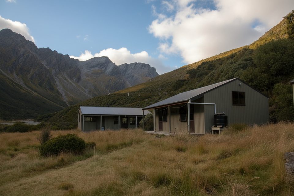
Place · 10.8 mi away
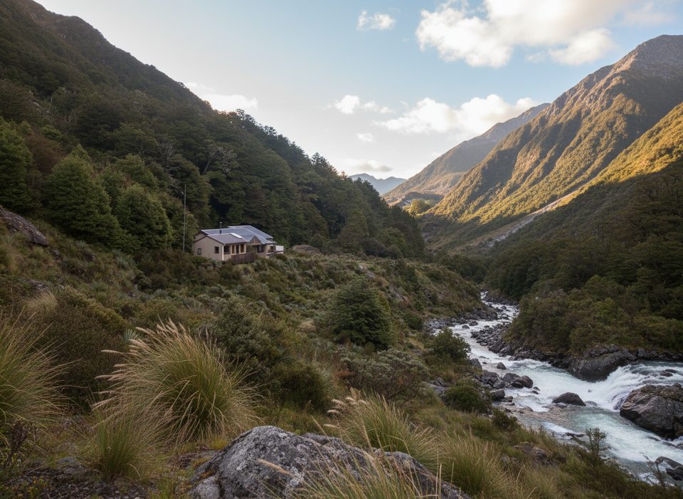
Place · 10.8 mi away
Place · 12.5 mi away
Challenging · 18.4 mi away
Challenging · 18.4 mi away
Moderate · 19.2 mi away
Challenging · 19.2 mi away

Parkwolf Tour Guide
