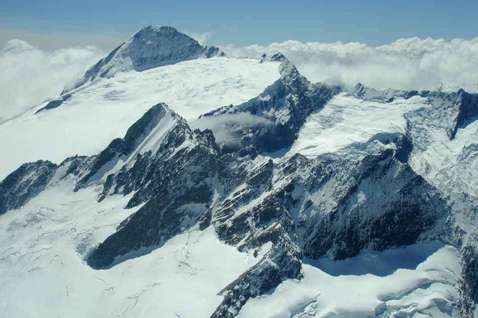
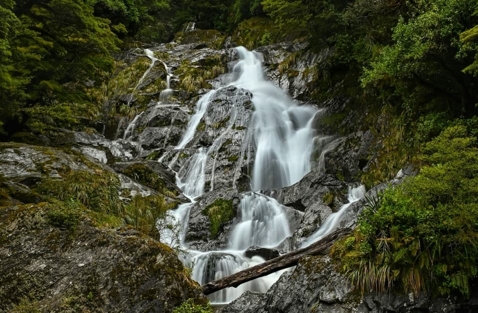
Top Forks Hut in Mount Aspiring National Park

Lodging · Mount Aspiring National Park

Top Forks Hut

A remote base for upper Wilkin lakes and alpine routes.

Photo: CC BY 4.0

Overview

About Top Forks Hut

Why stop

  • A serviced base for trips to Lake Diana and Lake Lucidus.

Heads up

  • The last 15 km from Kerin Forks takes 6–8 hours and includes unmarked terrain.

Map

Where it is

Loading the Mount Aspiring map
Full map
LodgingTop Forks Hut-44.27442, 168.89109
Keep this map with you offline in the Parkwolf app

Plan your stop

Before you go

Best time to go

Bookings are required from 22 October through 30 April; outside those dates, bunks are first come, first served. Huts in the region are popular from December until after Easter, so carry a tent or sleeping mat as a backup during that stretch.

1 active Mount Aspiring alert

  • CautionRob Roy Track: stop at lower lookout during avalanche seasonFrom May through November, end your Rob Roy Track hike at the lower lookout; DOC strongly recommends against continuing to the upper lookout because the track crosses active avalanche paths.Official details
Mount Aspiring alerts
A park ranger sits on a dash-mounted phone, talking, as Parkwolf’s Tour Guide plays “Army Cutworm Moths: A Grizzly Bear Buffet” on Grand Loop Road below Dunraven Pass in Yellowstone
Parkwolf Tour GuideThe highest, rockiest slopes around here are a summer buffet for grizzly bears.

Mount Aspiring Tour Guide

Your drive to Top Forks Hut, narrated.

Parkwolf is a GPS audio tour guide for Mount Aspiring National Park. As you drive, it chimes in with what’s ahead: hidden gems, upcoming stops, history, geology, and wildlife, right through your car’s speakers.

See the Mount Aspiring audio tour
  • 80 audio storiesacross Mount Aspiring’s roads, triggered by GPS as you drive
  • Wildlife heatmapsfor Kea, Rockwren, Yellowhead, and 8 more
  • Works offlinemaps, 50 trails, 52 places, and audio download before you lose signal
  • CarPlay readysimple controls built for the drive
★★★★★
“Fantastic app with many points of information… It’s great to just turn on while you’re driving and it gives you an audio tour of the national Park. We love it!!!!”
JMJamesApp Store review
Download Parkwolf on the App StoreGet Parkwolf on Google Play

4.7 from 8,600+ ratings

Guide

More about Top Forks Hut

A hut deep in the upper WilkinTop Forks Hut is a serviced 16-bunk hut at 600 m, set above the meeting of the Wilkin River's…

Top Forks Hut is a serviced 16-bunk hut at 600 m, set above the meeting of the Wilkin River's north and south branches. It is an overnight base for the upper valley's lakes and alpine routes, not a quick stop from the road.

The walk inFrom Wilkin Road to Kerin Forks Hut is about 15 km and four to five hours on foot.

From Wilkin Road to Kerin Forks Hut is about 15 km and four to five hours on foot. Top Forks is another 15 km beyond that, taking six to eight hours from Kerin Forks. The route climbs through beech forest, slips and steep ravines, then opens onto Wonderland and Jumboland flats before an unmarked stretch reaches the hut. There are river crossings on the way; wait if levels are high. Plan this as a multi-day backcountry trip.

A base for the north branchThe walk toward Disappearing Tarn and Lake Diana crosses the South Branch in front of the hut,…

The walk toward Disappearing Tarn and Lake Diana crosses the South Branch in front of the hut, then picks its way over boulders. Lake Lucidus lies farther along across grassland, and Lake Castalia is another destination from here. The crossing over Rabbit Pass toward Matukituki is an alpine route for experienced trampers. These are remote backcountry outings, not formed day walks.

What the hut providesThe hut has heating, lighting and non-flush toilets.

The hut has heating, lighting and non-flush toilets. Its tap water is untreated, so boil it before drinking. Bring your sleeping bag, stove and fuel, cookware, food, toilet paper and a bag for rubbish. Dogs are not allowed on the Wilkin Valley tracks.

Wildlife

Wildlife in Mount Aspiring

All Mount Aspiring wildlife maps

Sighting maps show where each species has been reported across Mount Aspiring. Wildlife moves, so no sighting is guaranteed.

Parkwolf’s Mount Aspiring ranking

Top sights in Mount Aspiring

All 52 places
  1. 1Mount Aspiring / TititeaSight
  2. 2Blue PoolsSight
  3. 3Rob Roy GlacierSight
  4. 4Thunder Creek FallsSight
  5. 5Fantail FallsSight
  6. 6Routeburn FallsSight

Take Parkwolf to Mount Aspiring.

The audio tour guide for the drive, plus offline maps, trails, and wildlife heatmaps for when the signal drops.

4.7 from 8,600+ ratings

Download Parkwolf on the App StoreGet Parkwolf on Google Play