Overview
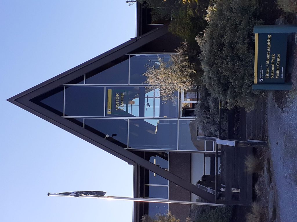
This is the DOC hub in Wānaka for planning anything from a lakeside stroll to a multi‑day mission. It’s staffed by rangers who know the tracks, river crossings, weather windows, and the realities of South Island alpine travel. If you want straight answers and honest advice, start here.
What you’ll find
- Up‑to‑date track conditions, weather info, and avalanche reports.
- Bookings for Great Walks, DOC huts, and campsites, plus hut tickets.
- PLB (personal locator beacon) hire.
- Topo maps, guidebooks, and a small but useful spread of supplies: gas canisters, dehydrated meals, pack liners, hikers’ wool, and sandfly repellent.
- Interpretation displays on Māori history, local geology, native flora and fauna, and conservation work.
- Free parking out front, public toilets, and free Wi‑Fi.
When it’s open
- March 1–December 25: 8:30 am–4:15 pm, Monday–Friday; closed weekends.
- December 26–February 28: 8:15 am–4:15 pm, daily; closed December 25.
If you’re heading for an early start in summer, be at the doors when they open to get advice and still make your trailhead on time.
Getting there
You’ll find it at 1 Ballantyne Road, about 800 m from the Wānaka lakefront (a 3‑minute drive or ~12‑minute walk). There’s a large free car park right in front, so it’s an easy pit stop before you head for the valleys and saddles.
Tips and good‑to‑know
- Stock is practical but limited—do your big grocery shop in town and grab specialty items here.
- Need emergency comms for remote routes? Hire a PLB on the spot.
- Potable water refills aren’t advertised; fill bottles in town or confirm with staff.
- Displays are actually worth a look if weather shuts you down—great background on the place you’re about to explore.
Best time to visit
- Summer (Dec 26–Feb 28): Go right at opening for the shortest waits and to beat heat and crowds at popular trailheads.
- Shoulder season (Mar 1–Dec 25): Plan a weekday visit—weekends are closed. Mid‑mornings are usually quiet.
- Rainy or windy days draw more people seeking route alternatives—expect longer chats, but better intel.