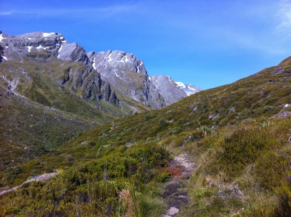
Parking
Start at Raspberry Creek/Raspberry Flat Car Park. The last 30 km from Wānaka is gravel, and the final 10 km includes creek fords that can become impassable after heavy rain. Check DOC road access information before driving.

Mount Aspiring National Park, OT · WC
A long out-and-back into the upper West Matukituki Valley.
Overview
Map & elevation
Plan your hike

The highest, rockiest slopes around here are a summer buffet for grizzly bears.
Mount Aspiring Tour Guide
Parkwolf is a GPS audio tour guide for Mount Aspiring National Park. As you drive, it chimes in with what’s ahead: hidden gems, upcoming stops, history, geology, and wildlife, right through your car’s speakers.
See the Mount Aspiring audio tourRecorded for this area
Raspberry Creek and Rob Roy Glacier“You're approaching Raspberry Creek car park, the start of the Rob Roy Glacier walk. For hanging glacier ice and waterfalls dropping from high cliffs, this is a walk I'd choose.”
Plays on the road 0.2 km from the trailhead in the Parkwolf Mount Aspiring Tour Guide.
More stories near here in the app
“Fantastic app with many points of information… It’s great to just turn on while you’re driving and it gives you an audio tour of the national Park. We love it!!!!”


Trail guide
West Matukituki Track is a remote out-and-back from Raspberry Creek Car Park to the head of the valley, past Aspiring Hut and Pearl Flat. The full route is 17.2 km one way, so returning to the car park makes 34.4 km (21.4 mi) over the same corridor. You cross open river flats, then follow the valley through beech forest, swing bridges and upper scrub. The listed stage times add to about 5.5–6 hours each way before stops. I’d treat this as a serious tramping trip and plan an overnight, rather than count on a comfortable day return.
If you want a shorter day, the Raspberry Creek–Aspiring Hut walk is 9 km each way, or about 18 km return. That is the lower-valley approach only; this route continues about 8 km farther one way to the head of the valley. The Bevan Col continuation beyond the head is a separate high-level route for experienced trampers and climbers.
The first 9 km are mostly grassy farm flats with a couple of small bluffs where the valley opens up. The track crosses private farmland before reaching conservation land, so stay on the marked line, respect gates and give livestock room. From the last bluff you can see historic Cascade Hut, a locked hut at the forest edge; Aspiring Hut is about 20 minutes farther on. That bluff is the best place to pause for the broad valley view.
Aspiring Hut is a practical overnight stop, with toilets and tap water that is untreated and needs boiling. It is bookable and has 32 bunks; carry your own food. The hut and its campsite have separate arrangements, so check the current DOC booking details before setting out.
From Aspiring Hut, the 5 km to Pearl Flat takes about 1.5 hours. The route enters beech forest and crosses Cascade Creek, Rough Creek and Shovel Flat bridges, with stretches of open clearing between the bush. At Shovel Flat, stay with the marked route into the bush rather than following the river edge. Pearl Flat is a useful waypoint, but it is not the end of the full track.
The final 3.2 km to the head of the valley is listed at about two hours. From Pearl Flat the track enters bush on the true right of the river, crosses the Liverpool and French Ridge swing bridges, then climbs roughly 100 metres. A branch to the left sidles through beech forest and opens into scrub. Scotts Rock Biv is a small rock shelter about 500 metres upstream from there; it is a short side trip, not the track’s endpoint. The main route continues across open country toward the head of the valley. The endpoint is described broadly rather than as a named hut or junction, so turn around at the marked end of the track; the Bevan Col continuation beyond it is separate.
The track is graded intermediate to Aspiring Hut and advanced above it. The upper valley crosses complex avalanche terrain, with particular risk from late autumn into early summer. Shovel Flat is an avalanche debris runout, so don’t camp there. The remoteness, long return and harder upper section make this a poor fit for a casual hut stroll. Dogs are not allowed in New Zealand national parks.
Huge glaciers scoured this valley into the broad landscape you walk through today. Red beech is common below Aspiring Hut, with mountain beech on the drier eastern side and more silver beech toward the wetter west. Keep an eye out for paradise shelducks on the flats and small forest birds such as fantails, tomtits and riflemen. Surveyor John Turnbull Thompson first saw Mount Aspiring/Tititea in 1857; James Hector explored the West Matukituki Valley in 1862, and farming began here in the 1870s. The lower grassy approach is still private farmland, which is why staying on the track matters.
Wildlife
 60 sightingsKeaMost seen around 5 PMSighting map
 112 sightingsRockwrenMost seen around 8 AMSighting map
 26 sightingsYellowheadMost seen around 8 AMSighting map
 13 sightingsTūīMost seen around 7 AMSighting map
 27 sightingsBellbirdMost seen around 7 AMSighting map
 35 sightingsRiflemanMost seen around 8 AMSighting map
Sighting maps show where each species has been reported across Mount Aspiring. Wildlife moves, so no sighting is guaranteed.
Keep exploring
 ModerateRob Roy Track10 km · 4.5 hr · At the trailheadA swingbridge, beech forest and glacier views reward the climb.
 ChallengingLiverpool Track30 km · 13 hr · At the trailheadA long, exposed climb to a hut above Matukituki Valley.
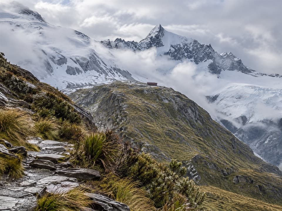 ChallengingFrench Ridge Track32.4 km · 13.5 hr · At the trailheadClimb from grassy valley flats to a hut above the alpine bushline.
 ModerateAspiring Hut Track18 km · 4.5 hr · At the trailheadLong valley flats lead to a hut beneath the Southern Alps.
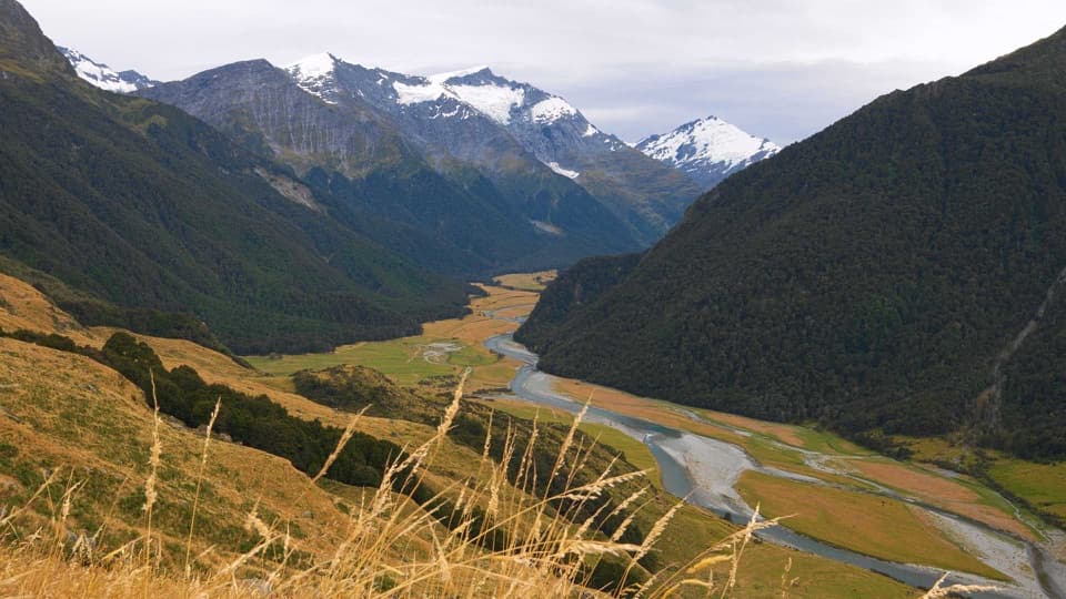 ChallengingShotover Saddle Route16 km · 9 hr · At the trailheadA steep, rough climb to a tarn shelf above the West Matukituki.
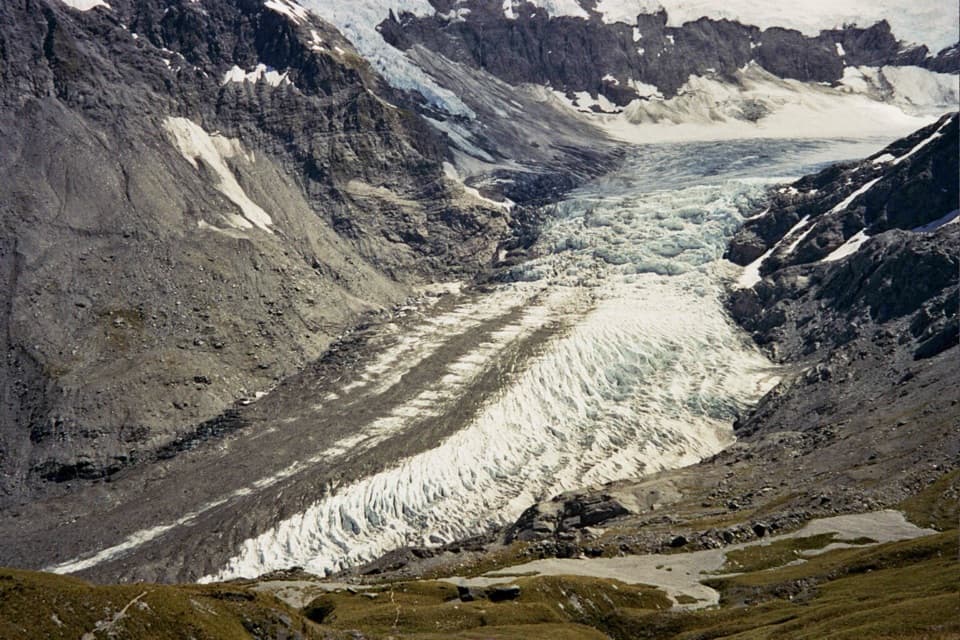 ChallengingCascade Saddle Route25 km · 12.5 hr · At the trailheadAn expert alpine crossing above the Dart Glacier.
 ChallengingKitchener Track to Aspiring Flats30 km · 11 hr · 3.7 km awayA rough, full-day route to a big Kitchener Cirque view
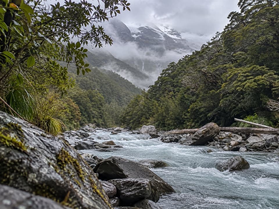 ChallengingGlacier Burn Track (East Matukituki)14 km · 5 hr · 3.7 km awayA long valley tramp to Glacier Burn and an Avalanche Glacier view.
 Sight · 2.1 km awayWishbone FallsA tall branching waterfall breaks up the long valley drive.
 Sight · 3.8 km awayRob Roy GlacierA glacier view worth a long walk and a rough drive.
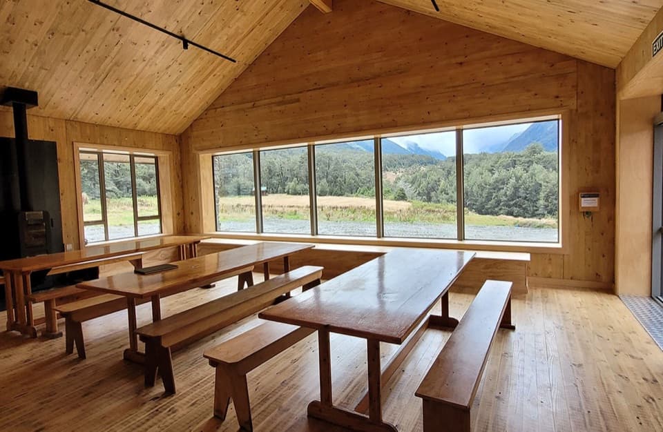 Lodging · 7.6 km awayAspiring HutA historic stone hut reached by a two-hour valley walk.
 Campground · 7.7 km awayAspiring CampsiteBackcountry tent camping beside a historic stone-walled hut.
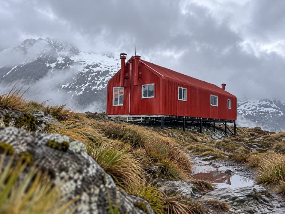 Lodging · 9.9 km awayFrench Ridge HutA high alpine hut for serious Mount Aspiring climbs.
 Lodging · 10.8 km awayLiverpool HutA red alpine hut earned by a steep, exposed climb.
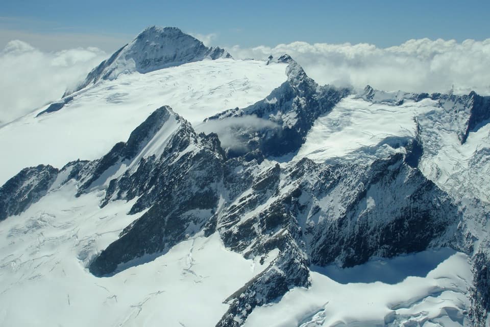 Sight · 14.1 km awayMount Aspiring / TititeaA 3,033 m horn for mountaineers, not day hikers.
 Lodging · 15 km awayDart HutA remote hut beneath walls from the Dart Glacier's former reach.
Parkwolf’s Mount Aspiring ranking

The audio tour guide for the drive, plus offline maps, trails, and wildlife heatmaps for when the signal drops.