Place
Challenging
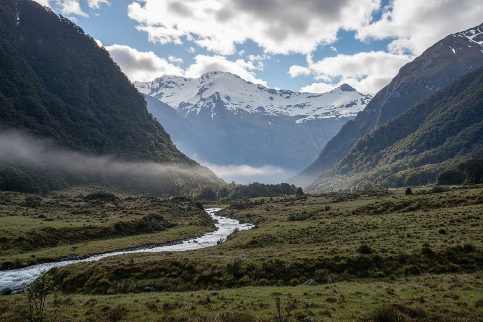
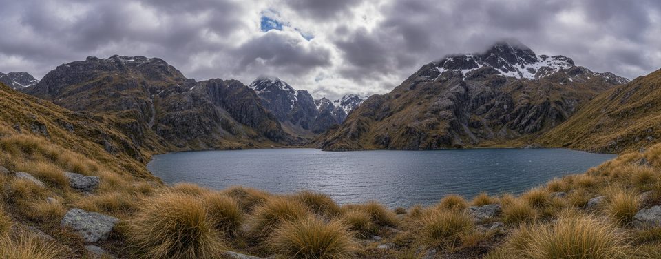
A demanding side trip from Siberia Hut, the Crucible Track climbs from the Siberia Valley to Lake Crucible, a small glacial lake tucked beneath Mt Alba. Expect a rugged New Zealand backcountry experience with real rewards at the end: a high alpine basin and, in early summer, a good chance of small ice blocks on the lake. Total distance is about 8.7 miles/14 km out‑and‑back from Siberia Hut.
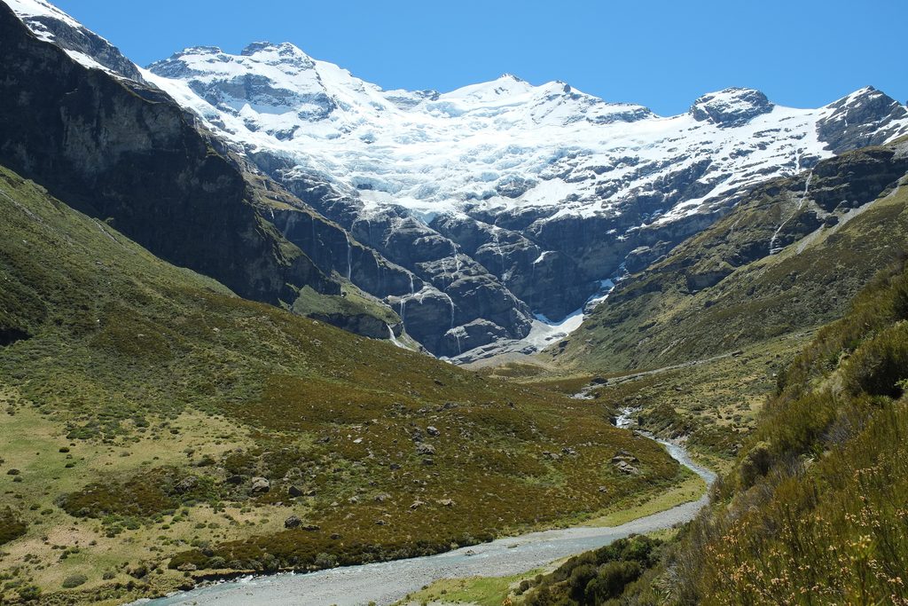
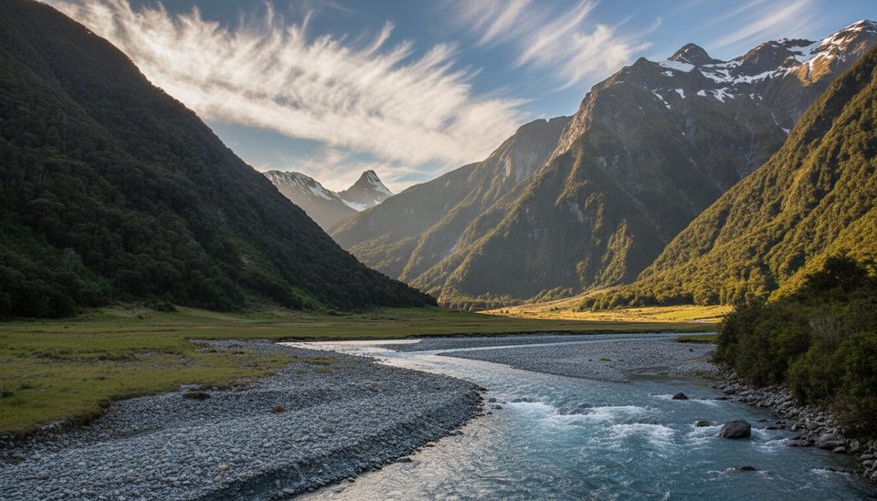
From Siberia Hut, you’ll head up valley flats and cross Siberia Stream before the track steepens through beech forest on a narrow spur. The route then sidles to additional creek crossings and breaks out onto snow‑grass flats. Pole markers guide the upper basin to the lake outlet. Look for the tiny rockwren among the boulders near the outlet. The basin is a fragile alpine herb field—treat it with care and note that camping is not allowed here.
This is a steep, sustained climb with rough, rooty sections and multiple unbridged stream crossings that can become uncrossable after rain. Rivers and streams in this area have a serious track record; parties have been caught out, and fatalities have occurred on rivers in the wider circuit. Between May and November, avalanche debris can cross the track in Crucible Valley. Weather turns quickly—hypothermia is possible even in summer—so carry proper layers and be ready to turn back if flows, snow, or visibility deteriorate.
Aim for a fine‑weather window in the main tramping season (roughly December through April). From May to November, expect winter conditions, potential avalanche debris on the route, and a generally low‑recommendation period unless you have appropriate alpine and avalanche experience. Regardless of season, check the forecast and current conditions before committing.
Most hikers base at Siberia Hut and do the lake as a day trip, returning to the hut. Reaching Siberia Valley can be part of the full Gillespie Pass Circuit on foot, or arranged via local jet boat on the Wilkin or by air—book transport in advance. The side track junction sits in the Siberia Valley near the hut, and you’ll retrace your steps back to your bunk.
No road access. Start from Siberia Hut in the Siberia Valley; reach it on foot as part of the circuit or via prearranged jet boat or air transport. No trailhead parking on site.
Serious river and stream hazards (with recorded fatalities in the area), steep slippery terrain, rapid weather shifts and hypothermia risk, and avalanche debris on the track May–November. Do not camp in Crucible Basin; it’s a fragile alpine herb field.
Challenging
Moderate
Challenging
Challenging

Parkwolf Tour Guide