Gillespie Pass Circuit in Mount Aspiring National Park

#3 of 50 trails in Mount Aspiring

Mount Aspiring National Park, OT · WC

Gillespie Pass Circuit

A wild alpine pass links the Young, Siberia and Wilkin valleys.

Photo: Wikimedia Commons
Length
56km
Time
22hr
Elev. change
1,281m
Difficulty
Challenging
  • Loop
  • No dogs
  • High point 1,570 m

Hear the audio tour

Young Valley and Gillespie Pass

Overview

About Gillespie Pass Circuit

Why go

  • A high alpine crossing with Mount Awful filling the pass skyline.
  • The route changes from beech forest to open snowgrass and glacial valleys.

Heads up

  • Unbridged river crossings can stop the route for a long time.
  • Three to four days of rough, exposed travel require expert planning.

Map & elevation

The route

Loading the Mount Aspiring map
Full map
Elevation289–1,570 m
TrailheadYoung/Makarora confluence access-44.19971, 169.23615
Keep this map with you offline in the Parkwolf app

Plan your hike

Before you go

Parking

Use the signposted Young Valley access on SH6, 2.5 km north of Makarora, then follow the orange poles to the Young/Makarora confluence. A safe river crossing or prearranged boat transfer is needed for access. Parking capacity at the access was not established.

Safety

Makarora and other unbridged crossings can become impassable after rain and have caused fatalities; cross only with proven river skills and safe levels, or wait/use prearranged transport. The pass crosses complex avalanche terrain, usually a risk from May to November; DOC does not recommend the circuit in winter. Snowgrass on the descent is very slippery when wet. Do not follow the true-right Makarora bank between confluences: it has no public access.

1 active Mount Aspiring alert

  • CautionRob Roy Track: stop at lower lookout during avalanche seasonFrom May through November, end your Rob Roy Track hike at the lower lookout; DOC strongly recommends against continuing to the upper lookout because the track crosses active avalanche paths.Official details
Mount Aspiring alerts
A park ranger sits on a dash-mounted phone, talking, as Parkwolf’s Tour Guide plays “Army Cutworm Moths: A Grizzly Bear Buffet” on Grand Loop Road below Dunraven Pass in Yellowstone
Parkwolf Tour GuideThe highest, rockiest slopes around here are a summer buffet for grizzly bears.

Mount Aspiring Tour Guide

Your drive to Gillespie Pass Circuit, narrated.

Parkwolf is a GPS audio tour guide for Mount Aspiring National Park. As you drive, it chimes in with what’s ahead: hidden gems, upcoming stops, history, geology, and wildlife, right through your car’s speakers.

See the Mount Aspiring audio tour

Recorded for this trailhead

Young Valley and Gillespie Pass
0:00 / 0:27
“You're coming up on the Young Valley access for Gillespie Pass Circuit. This fifty-six-kilometre loop takes three to four days, climbing from beech forest to a high ridge beneath Mount Awful.”

Plays as you drive up to this trailhead in the Parkwolf Mount Aspiring Tour Guide.

More stories near here in the app

  • A Road Finished in Stages
  • Makarora: Lunch and a Forest Loop
  • Why the Fantail Follows You
  • A Cicada's Last Moult
  • 80 audio storiesacross Mount Aspiring’s roads, triggered by GPS as you drive
  • Wildlife heatmapsfor Kea, Rockwren, Yellowhead, and 8 more
  • Works offlinemaps, 50 trails, 52 places, and audio download before you lose signal
  • CarPlay readysimple controls built for the drive
★★★★★
“Fantastic app with many points of information… It’s great to just turn on while you’re driving and it gives you an audio tour of the national Park. We love it!!!!”
JMJamesApp Store review
Download Parkwolf on the App StoreGet Parkwolf on Google Play

4.7 from 8,600+ ratings

Trail guide

Hiking Gillespie Pass Circuit

The full circuitGillespie Pass Circuit is a remote 56 km (34.

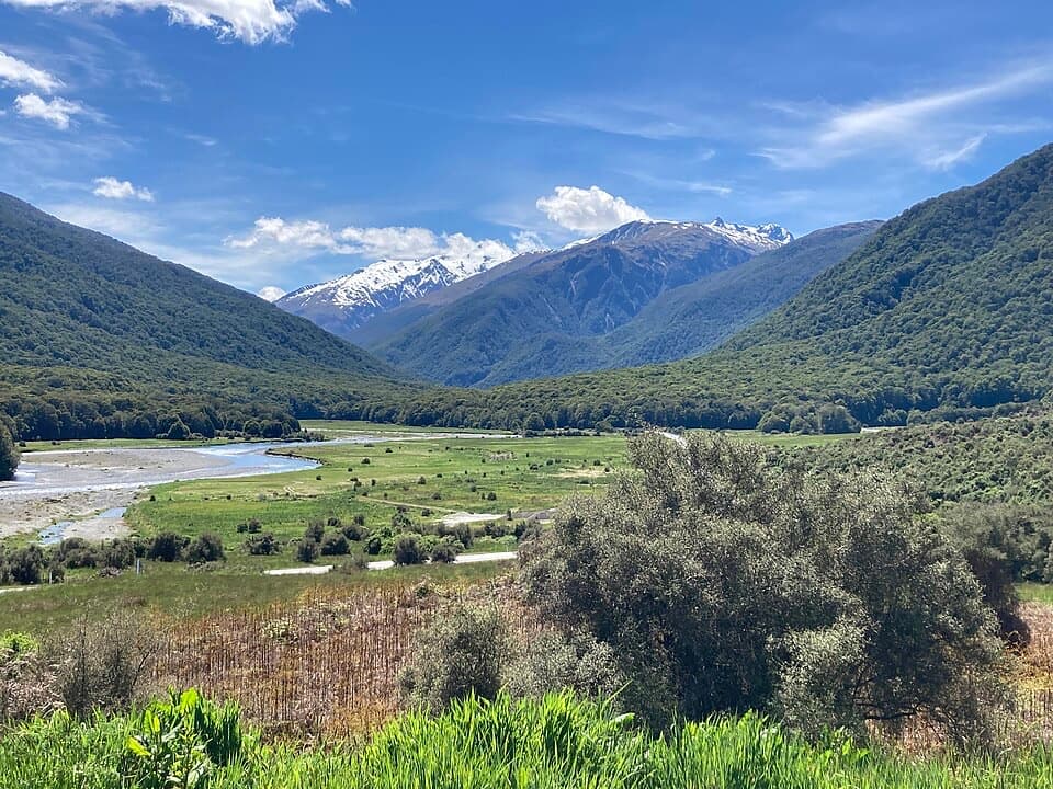
Gillespie Pass Circuit is a remote 56 km (34.8 mi) mountain loop through the Young, Siberia and Wilkin valleys. It takes most parties three to four days, with about 19 to 23 hours of walking spread across long stages. This entry follows the full route from the Young/Makarora confluence, over Gillespie Pass and back to the Makarora access by the public road connection. It leaves out the Blue Pools approach, the optional Young River Link and the Crucible Lake side trip. Published figures vary: the current circuit figure is 56 km, while some itineraries round it to 57–58 km and the current stage totals add to about 54 km, so treat the total as approximate.

Know the crossings before you startThis is an advanced tramp for experienced parties with river-crossing skills, not a route to…

This is an advanced tramp for experienced parties with river-crossing skills, not a route to force through bad conditions. The Makarora crossings at the Young and Wilkin ends can become impassable after rain; there have been multiple river fatalities here. Wait for safe levels or use prearranged transport. The true-right bank between the two confluences has no public access, so don't try to close the loop by following the riverbank. The signposted Young Valley access is 2.5 km north of Makarora; follow the orange poles to the confluence. No dogs are allowed.

Up the Young ValleyFrom the confluence, the track follows the true-left bank of the Young to a swing bridge at the…

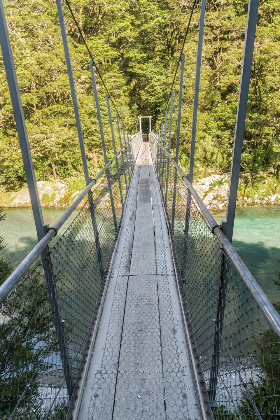
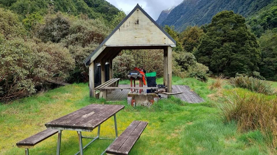
From the confluence, the track follows the true-left bank of the Young to a swing bridge at the North and South Branch junction, usually a three-to-four-hour walk. Young Forks campsite sits 200 m upstream, with a cooking shelter and toilet. The route then crosses a grassy flat, climbs steeply for about 100 m and sidles past unstable slips to Stag Creek before the steady climb to Young Hut at 750 m. The first long stage is about 20 km and takes six to seven hours from Makarora.

Over Gillespie PassFrom Young Hut, allow six to eight hours for 12 km to Siberia Hut.

From Young Hut, allow six to eight hours for 12 km to Siberia Hut. Climb about an hour to the bushline, cross the bridge over the upper Young and continue along the valley floor. This is usually the last water before the pass, so fill up there. The route steepens beside a rock bluff, climbs through snowgrass and reaches the ridge at about 1,600 m. Mount Awful dominates the view. The descent through open snowgrass basins is steep and very slippery when wet, then the route drops into forest, passes Gillespie Stream and zigzags to Siberia Stream. At the pass, keep a strip of the ridge in the foreground of a photo; it gives the mountain view some scale.

Siberia and the WilkinSiberia Hut sits at 630 m in a broad valley.

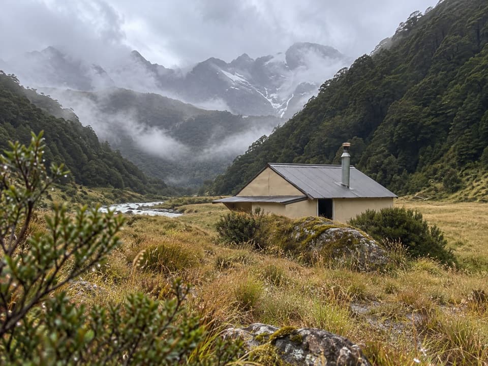
Siberia Hut sits at 630 m in a broad valley. Crucible Lake is a separate 7 km, three-to-four-hour return trip from the hut, with stream crossings and a steep spur into the upper basin below Mount Alba. Its alpine herbfields are fragile, camping is prohibited there, and tiny rockwrens sometimes feed among the boulders at the outlet. The main circuit continues down the Wilkin side above Siberia Gorge, then through rough forest and open flats toward Makarora. The final stage is about 22 km and takes seven to eight hours. Kerin Forks Hut is an optional side trip across the Wilkin; that crossing may be impossible after rain and isn't needed to walk out toward Makarora.

Huts, water and the valley's storyYoung and Siberia huts each have 20 bunks; Young Forks is a first-come campsite.

Young and Siberia huts each have 20 bunks; Young Forks is a first-come campsite. Book huts in summer, carry a tent in case weather, rivers or transport delay you, and carry rubbish out. Hut and stream water is untreated and should be boiled. There is no food service along this remote route.

The Makarora valley is remembered as Kaika Paekai, “place of abundant food.” Māori from coastal Otago and Southland traveled inland to fish and hunt; Haast Pass/Tīoripātea was also a route to the West Coast for pounamu. Ice-age glaciers carved the valleys, while the Southern Alps' rocks began as seabed sand and mud more than 220 million years ago. Silver beech/tawhai dominates the lower forest, where you may hear fantails and riflemen; alpine tussock above supports small invertebrates and flowering herbs.

Wildlife

Wildlife in Mount Aspiring

All Mount Aspiring wildlife maps

Sighting maps show where each species has been reported across Mount Aspiring. Wildlife moves, so no sighting is guaranteed.

Keep exploring

Near Gillespie Pass Circuit

See it all on the map

Trails that start nearby

Places near the trailhead

Parkwolf’s Mount Aspiring ranking

Top-rated trails in Mount Aspiring

All 50 trails
  1. 1Routeburn TrackChallenging · 33.1 km
  2. 2Rob Roy TrackModerate · 10 km
  3. 4Rees-Dart TrackChallenging · 63 km
  4. 5Brewster TrackChallenging · 5.6 km
  5. 6Blue Pools TrackEasy · 3.2 km
  6. 7Liverpool TrackChallenging · 30 km

Take Parkwolf to Mount Aspiring.

The audio tour guide for the drive, plus offline maps, trails, and wildlife heatmaps for when the signal drops.

4.7 from 8,600+ ratings

Download Parkwolf on the App StoreGet Parkwolf on Google Play