Place
Moderate
A mellow, history‑soaked wander between the Davis Flat car park and the Haast Pass/Tioripatea summit, this well‑graded forest path follows a remnant of the original route that once linked Otago and Westland. Expect intimate beech rainforest, vibrant ferns, mossy trunks, and occasional peeks at the blue‑hued Makarora River. It’s a through‑track with two trailheads; most hikers either shuttle cars or simply walk it out and back.
Plan on roughly 4.3 miles total if you do it return, or about 2.2 miles one way between trailheads. Typical return time is 2.5–3 hours at an easy, look‑around pace. The grade is gentle and well maintained—“easy to intermediate”—but still real walking, with a steady climb toward the pass if starting from Davis Flat.
From Davis Flat, the track meanders beside the Makarora through lush beech, with a swing bridge and clear blue pools adding some sparkle. Early on, there’s a glimpse of Stewart Falls. Near the summit end, short bridges span lively tributary streams—extra scenic after rain. Birdlife is a quiet companion, and the trail is generally uncrowded.
Year‑round. Wet days turn the forest emerald and pump up the streams and cascades, but also make roots and boardwalks slick—take your time and good footwear.
No dogs. Drone use on public conservation land requires prior authorization. Expect slippery sections after rain and minor undulations along the way.
Park at either Davis Flat car park or the Haast Pass/Tioripatea summit car park on SH6. Two vehicles recommended; nearest toilets at Cameron Flat campsite 10 km south. Avoid leaving a car at Davis Flat overnight during heavy rain forecasts.
Do not walk along SH6 between trailheads; sections are slippery after rain. Davis Flat car park can wash out—avoid overnight parking in heavy rain. No dogs; drones need authorization.
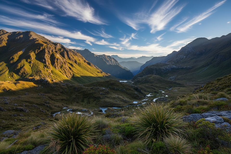
Challenging
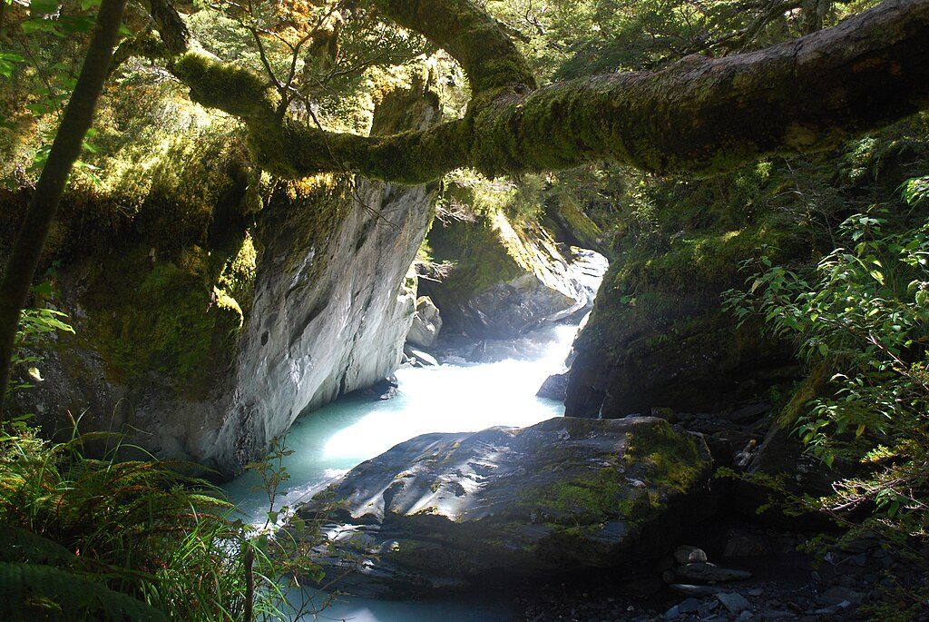
Moderate
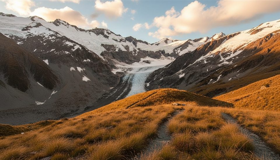
Challenging
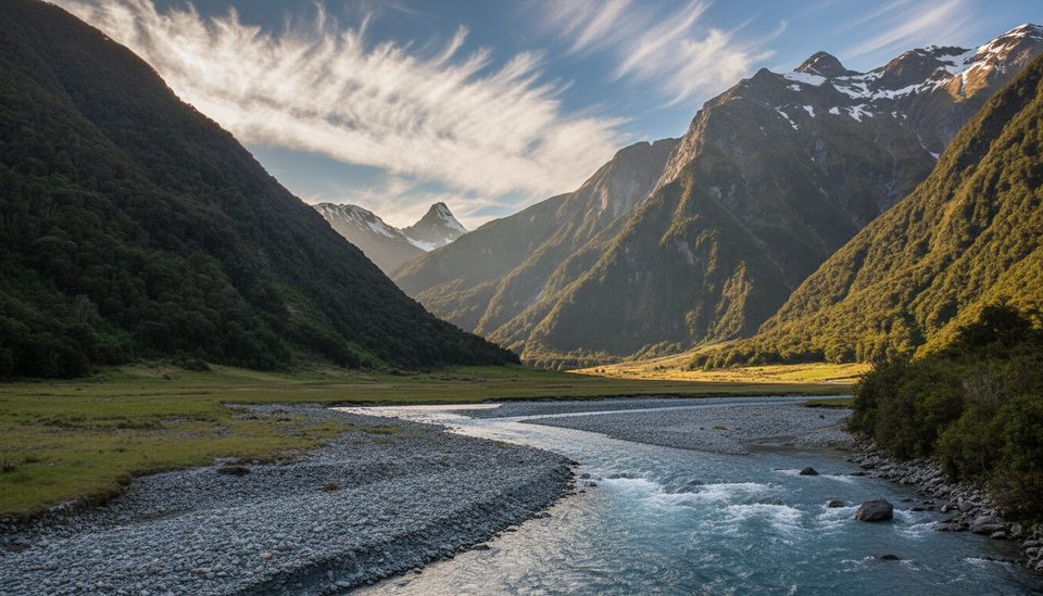
Challenging

Parkwolf Tour Guide