Place
Challenging
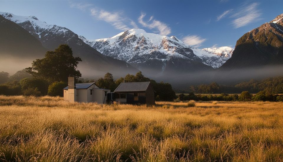
This is a committing valley traverse between Kerin Forks Hut (10 bunks) and Top Forks Hut (16 bunks) up the Wilkin. It’s roughly 9.3 miles one way (about 15 km) and typically takes 7–10 hours, depending heavily on river levels and how much you use the forest track versus the river margins. Expect an advanced/"expert"‑feeling day: long, remote, and shaped by the Wilkin River’s mood.
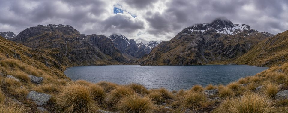
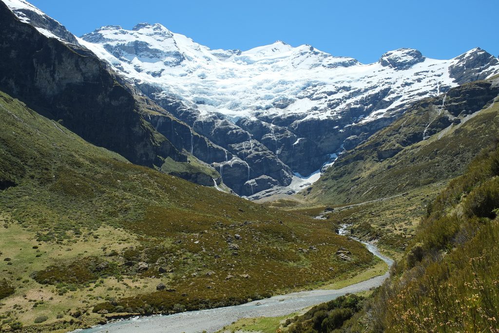
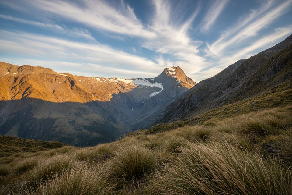
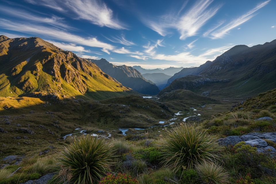
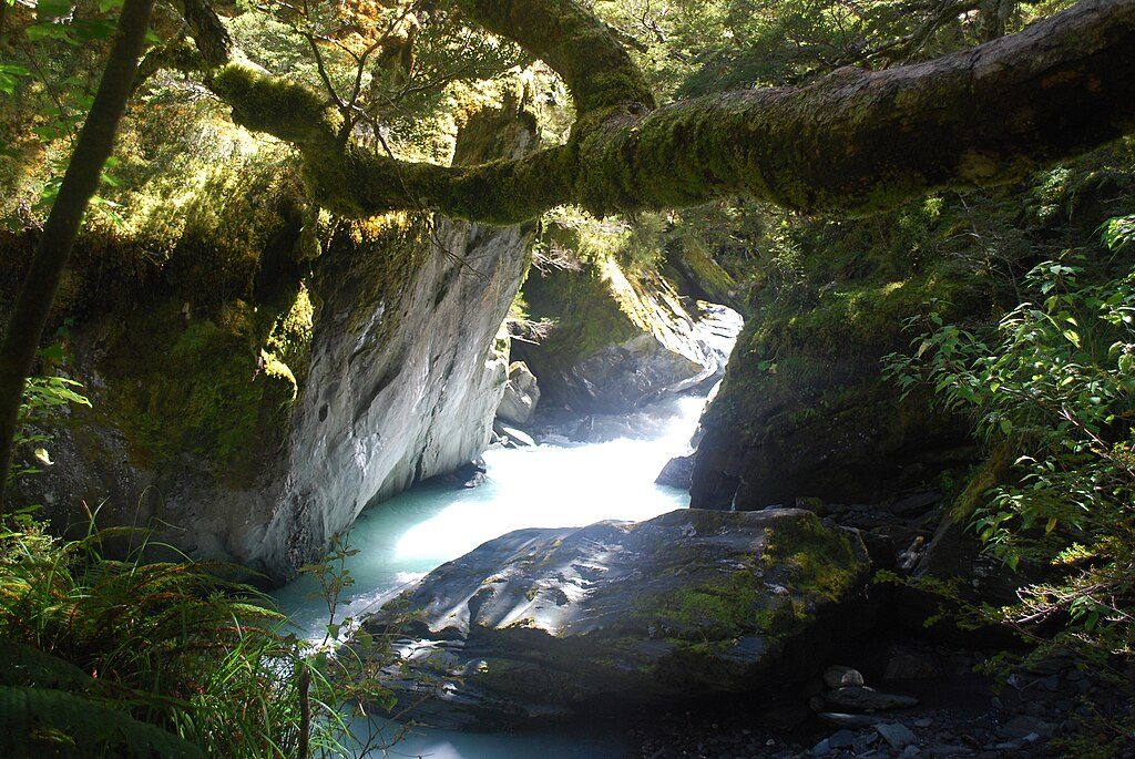
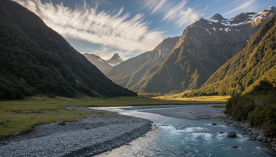
The Wilkin is classic Southern Alps eye‑candy: turquoise, silt‑rich glacial water beneath steep, cloud‑brushed peaks. Between beech forest and open tussock flats you’ll get big‑country views and airy walking when the flats go your way. A distinctive stop is Jumboland, a memorable grassy flat near Wonderland Stream—great atmosphere if the sandflies don’t convince you to keep moving.
You’ll alternate between gravel bars, wet tussock, and narrower, sometimes brushy sidle track in the forest. Parties often switch between riverbank travel and the marked track as conditions dictate. Multiple unbridged fords are likely; levels can rise quickly, and crossings can become unsafe after rain. Upper sections can feel slower; nearer Kerin Forks the track tends to be more defined and faster underfoot.
Both huts are Serviced with basic facilities and wood burners, but you must carry your own sleeping bag, stove and fuel, pots/utensils, toilet paper, rubbish bags (pack out everything), fire starter/matches, and a torch. Don’t bank on dry wood being available in the shed—previous parties may have used it—so plan accordingly. Stays are first‑come, first‑served; pay with Serviced Hut Tickets or use a Backcountry Hut Pass.
Reaching Kerin Forks from the road end is a trip in itself: from SH6 near Makarora, it’s about 4–5 hours via the Gillespie Pass Track. Some visitors use Wilkin River jet‑boats for access around the lower valley, or arrange aircraft transport to/from Top Forks in settled weather windows. There’s no visitor centre in Makarora—plan with the nearest DOC centres before you go.
Peak tramping season runs from December until after Easter, when these huts can fill—carry a tent or at least a roll mat as backup. Long summer days help, but rain can arrive any month and the Wilkin responds quickly; build generous time margins and stay flexible. Shoulder seasons can feel quieter around Top Forks but may be slower and colder. In all seasons, check conditions and be ready to turn around if the river says no.
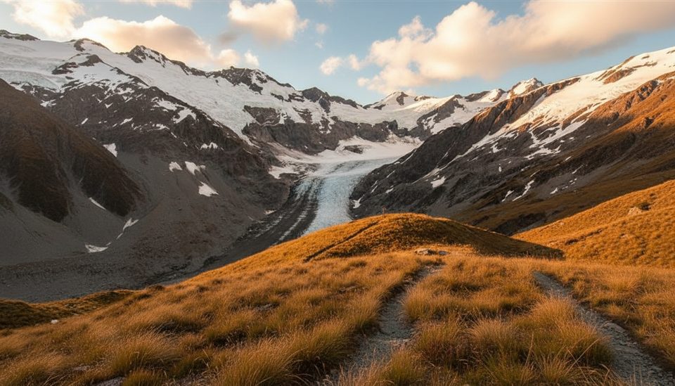
With settled weather and experience, day forays toward Waterfall Flats and the lakes above offer waterfall‑ringed cirque country. Treat these as advanced side missions beyond the Kerin Forks–Top Forks segment.
Park at the Makarora road end on SH6; reach Kerin Forks via the Gillespie Pass Track (about 4–5 hours) or arrange a Wilkin River jet‑boat drop‑off near the lower valley.
Unbridged Wilkin River fords that can rise quickly; brushy sidles and wet tussock; heavy sandflies; huts are first‑come and often full December–Easter—carry a tent or roll mat.
Challenging
Moderate
Challenging
Challenging

Parkwolf Tour Guide