
Place · 1.3 mi away
Challenging
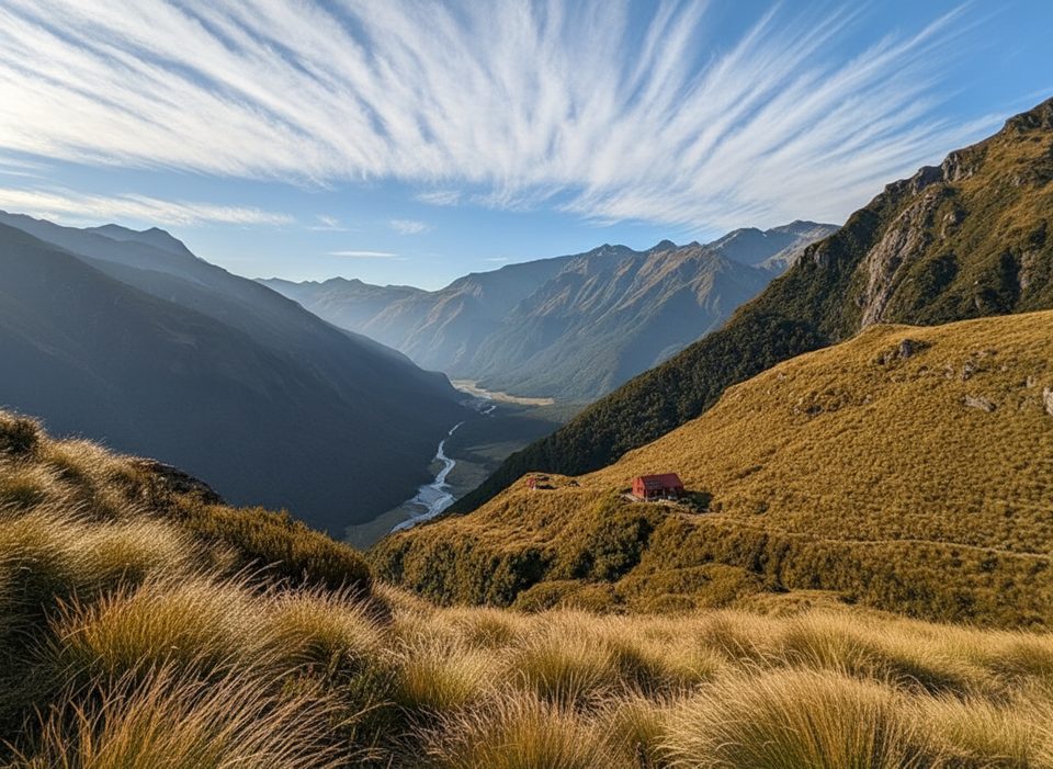
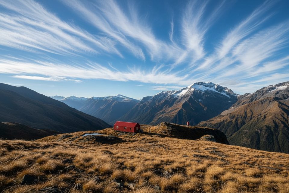
Liverpool Hut Track dishes out a tale of two hikes: an easy valley ramble followed by a short, savage climb to a tiny alpine hut with knockout views. Plan on roughly 18.6 miles total (about 30 km) out-and-back from the Raspberry Creek car park, typically split over two days. Fit parties sometimes push it in a single long day, but most savor it as an overnight for the sunrise and stars.
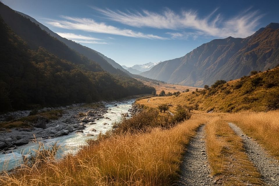
From Raspberry Creek, you’ll cruise the West Matukituki Track up broad grassy flats with pockets of forest to Pearl Flat (about 14 km). It’s friendly, mostly flat travel with swing bridges and big-mountain scenery unfolding ahead. From the Liverpool Stream bridge, the character flips: the final ~1 km to the hut takes 2–2.5 hours and is the crux—relentlessly steep, rooty, and often slick, with hands-on moves and some exposure. Above the bushline, expect shingle, rock steps, and tussock that feel serious when wet or icy. Count on 11–13 hours total hiking time for the return, depending on fitness and conditions.
Liverpool Hut is a compact 10‑bunk alpine hut perched around 1,100 m—no heating, basic facilities, and views that swallow the whole Matukituki. It’s popular. Bookings are required in the main season (roughly late October to April), and it reverts to first‑come outside that window with different fee arrangements. A nice strategy is to stage at Aspiring Hut on the way in or out to spread the effort and enjoy a more relaxed pace.
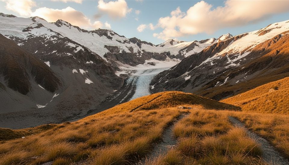
Summer and early autumn offer the most accessible conditions for most hikers. The upper section is treacherous in rain, and snow/ice can linger in the shoulder seasons. Avalanche terrain is a factor from about May to November—skip the upper climb in marginal weather or if you don’t have the skills and equipment. Start early for cooler temps, quieter bridges and flats, and golden light on the valley walls near sunset/sunrise from the hut.
The road from Wānaka takes about 1 hr 20 min; the last 30 km are gravel with several fords in the final stretch. After heavy rain, these can be impassable (sometimes even to 4WD). After a dry 24 hours, 2WD is usually fine—drive slowly through fords. Raspberry Creek car park has toilets and water. Pack sturdy boots, warm and waterproof layers (including gloves and hat), a sleeping bag, cooking gear, and enough food. Poles help on the descent but stow them for the steep scrambling. Consider traction aids in cold shoulder-season conditions. If you’re eyeing similar hut‑with‑a‑sting options, French Ridge is a nearby, steeper alternative for experienced parties.
That last kilometer is no joke—exposure, rock slabs, and root “ladders” demand sure‑footed, confident movement. Tussock and rock turn slick in the wet, and there’s documented erosion near Shovel Flat. Weather in this valley changes fast—cold, wind, and heavy rain can hit any month. Build in margins, carry a locator beacon, and turn back if conditions deteriorate.
Raspberry Creek car park at the end of the Wānaka–Mount Aspiring Road; last 30 km are gravel with several fords that can be impassable after heavy rain. Toilets and non‑potable water available.
Advanced terrain on the final climb with exposure and slick rock/tussock; avalanche risk May–Nov; erosion at Shovel Flat; rapid weather changes; multiple fords on the access road may be impassable after rain.
Place · 1.3 mi away
Place · 1.5 mi away
Place · 2.3 mi away
Place · 2.3 mi away
Moderate · 0 mi away
Challenging · 0 mi away
Easy · 0 mi away
Challenging · 0 mi away

Parkwolf Tour Guide
