Place
Challenging
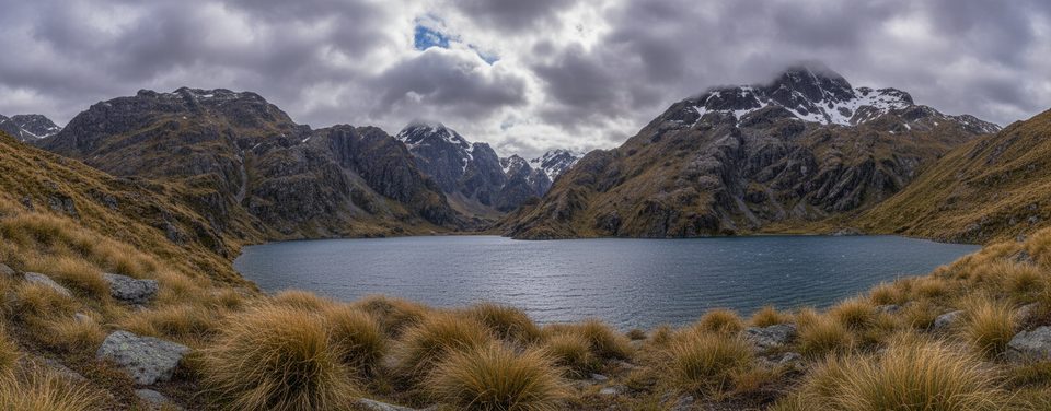
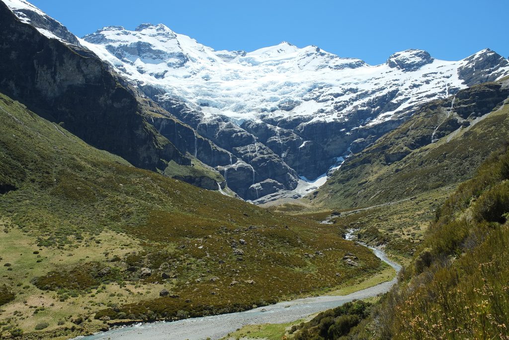
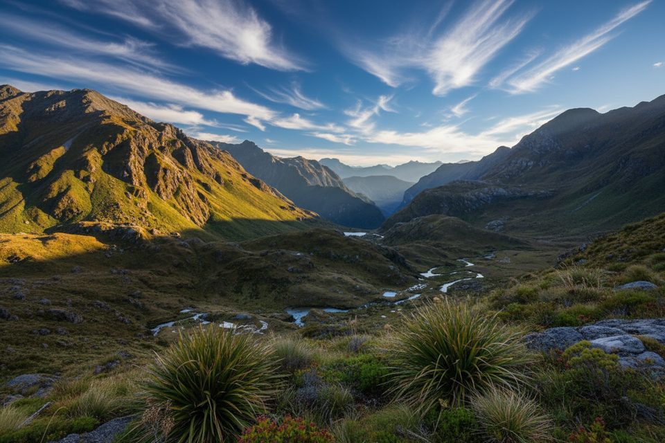
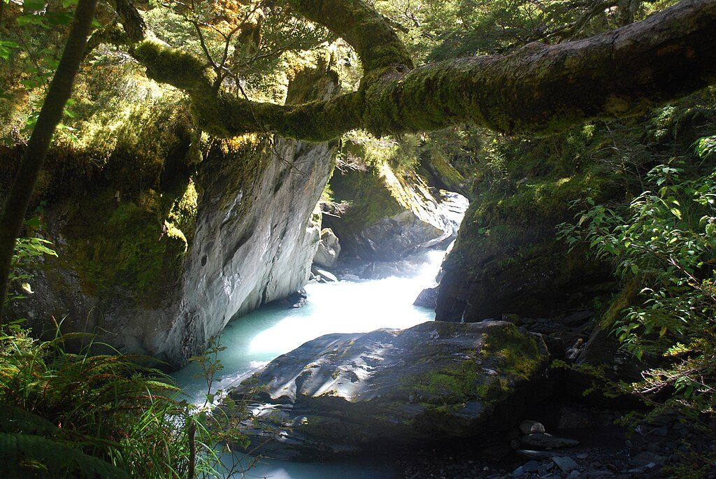
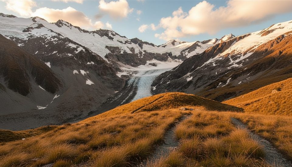
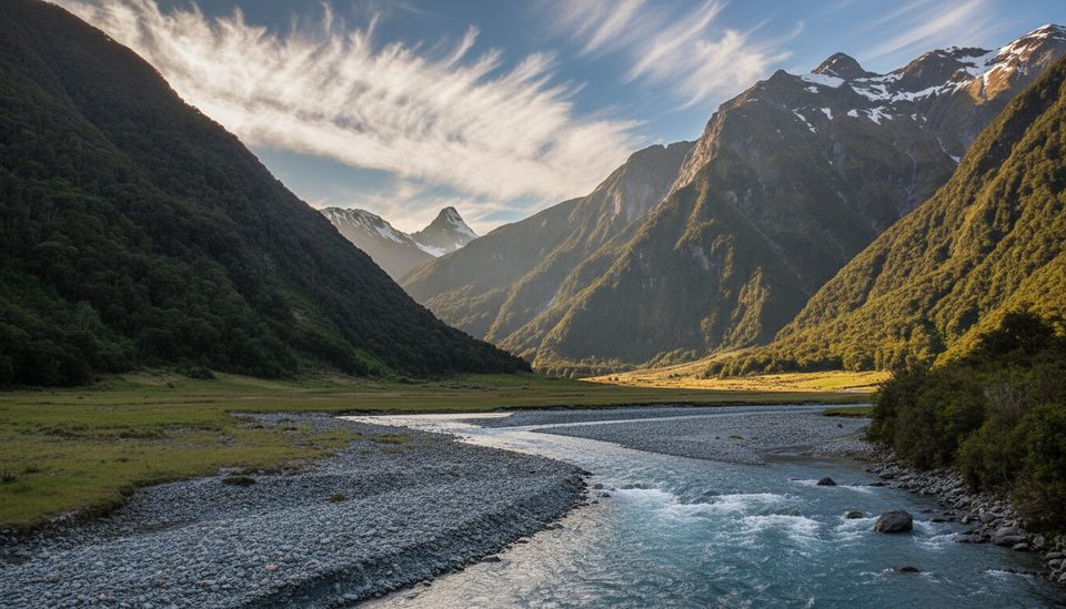
This is a remote, varied tramping route up the Makarora Valley to the tiny 4‑bunk Makarora Hut. Expect classic beech forest, a sizable waterfall early on, stretches of travel right on the riverbed, broad alpine flats, and glacier views near the head of the valley. It’s a linear track most people do out‑and‑back. Official signage puts it at about 10.5 km (6.5 miles) one way; many recent parties record roughly 22–23 km (13.7–14.3 miles) return depending on river lines.
From the road bridge at Davis Flat, you’ll reach Stewart Falls quickly, then sidle above a gorge (slippery when wet) and traverse a large unstable slip before the valley opens to long grassy flats. From the main flat to the hut the route is largely unmarked—expect to weave between bush and riverbed. In fine weather the hut on the true left is visible from about 2 km away; in dry conditions, final fords can be ankle‑deep.
DOC frames this as an advanced tramping track. Plan on 5–7 hours one way by conservative timings; many hikers report 3–5 hours each way when the river is low and navigation is straightforward. Underfoot you’ll deal with roots, mud, slip faces, and uneven cobbles—technical enough that downhill isn’t dramatically faster.
Summer is the sweet spot: lower river levels, long daylight, and better odds of seeing the upper‑valley glacier views. Shoulder seasons can be lovely in settled weather. From May to November, avalanche terrain can affect parts of the route, and river levels can spike after rain or snowmelt—if in doubt, turn back. Avoid this track in heavy rain and skip predawn/dusk travel; route‑finding on the flats is no fun in the dark. Bring insect repellent—sandflies can be active near the falls late in the day.
Makarora Hut is a standard 4‑bunk, first‑come hut; carry a tent as backup. Standard Hut Tickets (or a Backcountry Hut Pass) are required for overnight stays. Access is from Davis Flat on SH6; when the river is high there’s a signed high‑water option from the road bridge on the true left. The Davis Flat car park can be compromised by floods—don’t leave a vehicle overnight if heavy rain is forecast.
If you’re comfortable with slips, river travel, and basic navigation, this track delivers a lot in a relatively short distance and usually without crowds. Waterfall to glacier in a day or an overnight to a quiet hut—underrated for how much variety you get.
Park at Davis Flat off SH6 near the road bridge; the small car park sits just past a narrow bridge—walk back over the bridge to the trail start. Do not leave a vehicle overnight if heavy rain is forecast.
Advanced tramping route with unmarked sections, slips, and unbridged river crossings; avoid in rain or high flows. Avalanche terrain may affect the area May–November.
Challenging
Moderate
Challenging
Challenging

Parkwolf Tour Guide