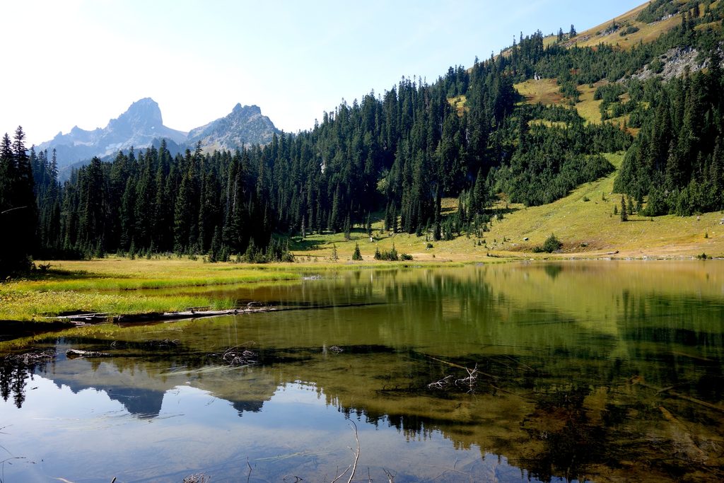
Owyhigh Lakes

Quiet alpine lakes and wildflower meadows below rugged ridges
Owyhigh Lakes, Mount Rainier National Park
InsideMount Rainier National Park

Overview

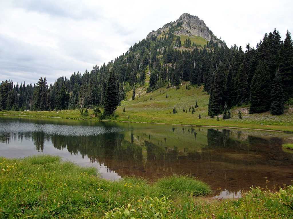
If you’re chasing quiet over crowds, Owyhigh Lakes delivers. Tucked above the White River Valley beneath Governors Ridge and near Tamanos Mountain, these two shallow, clear lakes trade big volcano panoramas for meadows, cliffs, and calm. It’s a classic east-side day hike that feels wonderfully off the tourist radar.

The Hike

From the White River Road trailhead (about two miles past the entrance), it’s roughly 7 miles round trip with about 1,350 feet of gain. The trail climbs steady switchbacks through old-growth forest before easing into broad, flower-strewn meadows. The lakes sit a short drop below the main path, ringed by grass and talus, with Governors Ridge and Tamanos shaping the skyline. You can also reach the area via the Deer Creek approach on Hwy 123, or continue over the pass toward Deer Creek for a longer through-hike.

What You’ll See

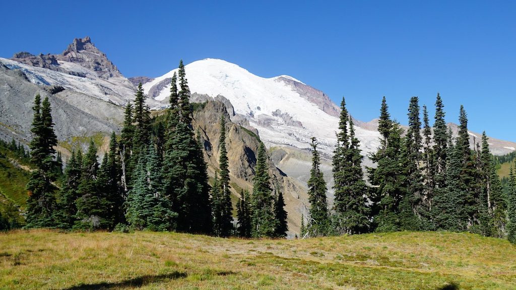
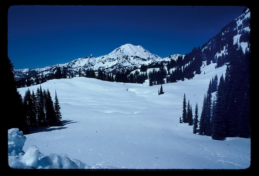
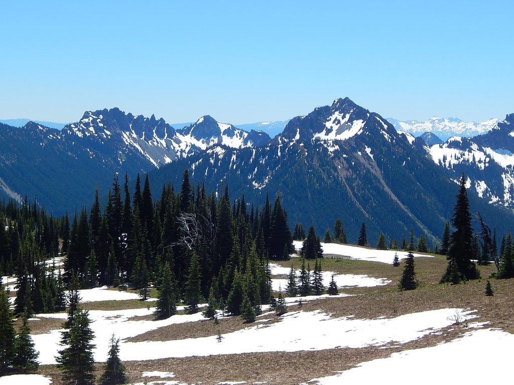
Expect big, airy meadows in mid-summer, craggy ridgelines, and two serene lakes set in a glacially carved basin. It’s intentionally not about Rainier views here; this is a peaceful, intimate subalpine scene. Wildlife-wise, look for birds, small mammals, and deer in the meadows and forest. Do expect mosquitoes around the water in summer—bring your A-game repellent.

History & Setting

The lakes carry the name of Chief Owyhigh (Owhi) of the Yakama, reflecting longstanding Native connections and the era of early Cascades exploration. Geologically, you’re walking into a high, ice-sculpted basin framed by volcanic ridges—classic east-side Rainier terrain with rocky outcrops and shallow lake bowls.

Who It’s For

  • Hikers who value solitude, meadows, and mellow lakeshore wandering.
  • Scramblers using the corridor to tag Tamanos Mountain and peaks along Governors Ridge (Barrier and Buell).
  • Backpackers linking the Eastside network; permits required for designated backcountry camps nearby.

Logistics

  • Access via White River Road is seasonal; plan for summer/fall windows. Deer Creek on Hwy 123 offers an alternate approach and through-hike options.
  • The lakes are shallow. Treat all natural water, and don’t count on abundant late-season sources right at the shoreline.
  • Amenities are minimal: think trailhead parking and little else.

Best Time to Visit

  • Mid-July to mid-August for peak wildflowers and open roads. Early fall is lovely and typically less buggy.
  • Aim for mornings for cooler climbing temps and calmer meadows for photography.
  • Weekdays are quieter; this spot is already calmer than the park’s headliners, but mosquitoes are fiercest on warm, still afternoons.

Pros

  • Secluded subalpine lakes and expansive mid-summer wildflowers
  • Gateway to nearby scrambles like Tamanos Mountain and Governors Ridge

Cons

  • Mosquitoes can be intense in summer
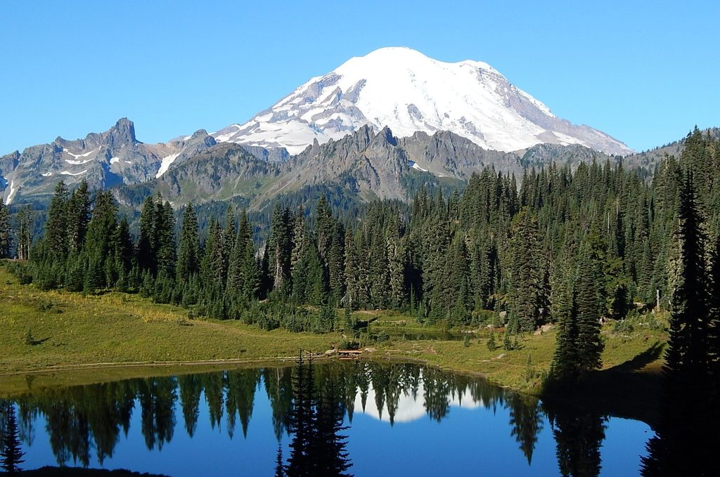
  • No direct views of Mount Rainier

Tips

  • Bring strong insect repellent in July–August; mosquitoes love the lakes.
  • Start early for cooler temps and a more relaxed climb through the forest.
  • Choose your approach: White River for the classic out-and-back, Deer Creek for through-hike options.
  • If continuing beyond the lakes or scrambling peaks, carry a map or GPS.
  • Treat all lake water; late-season levels can be low and access marshy.
The Parkwolf tour guide sitting on a phone mounted in a car

Parkwolf Tour Guide

Like a tour guide in your car.

Save the places you found around Mount Rainier, then let Parkwolf guide the drive between them.Download Parkwolf on the App Store