Parking
Use the small roadside parking area on SR 123, 3.5 miles north of the Stevens Canyon Entrance and about half a mile north of Panther Creek Bridge. The trail begins on the east side of the road.
Mount Rainier National Park, WA
A tough, exposed climb to a historic lookout and wide views.
Overview
Map & elevation
Plan your hike

The highest, rockiest slopes around here are a summer buffet for grizzly bears.
Mount Rainier Tour Guide
Parkwolf is a GPS audio tour guide for Mount Rainier National Park. As you drive, it chimes in with what’s ahead: hidden gems, upcoming stops, history, geology, and wildlife, right through your car’s speakers.
See the Mount Rainier audio tourRecorded for this trailhead
Shriner Peak: A Steep Climb to the Lookout“You're nearing Shriner Peak trailhead, where a steep hike leads to a wooden fire lookout built in nineteen thirty-two.”
Plays as you drive up to this trailhead in the Parkwolf Mount Rainier Tour Guide.
More stories near here in the app
“Fantastic app with many points of information… It’s great to just turn on while you’re driving and it gives you an audio tour of the national Park. We love it!!!!”


Trail guide
Shriner Peak Trail is a strenuous out-and-back from SR 123 to a historic fire lookout near the summit. The park lists 8 miles round trip; other mapped estimates run to about 8.4–8.6 miles. The stored trail corridor is about 4.13 miles one way, and you return on the same path. Allow about 5–7 hours for the climb, breaks and time at the top. This is a sustained, steep day hike rather than a casual stroll, but it rewards the work with a rare 360-degree view from one of the park’s remaining fire lookouts.
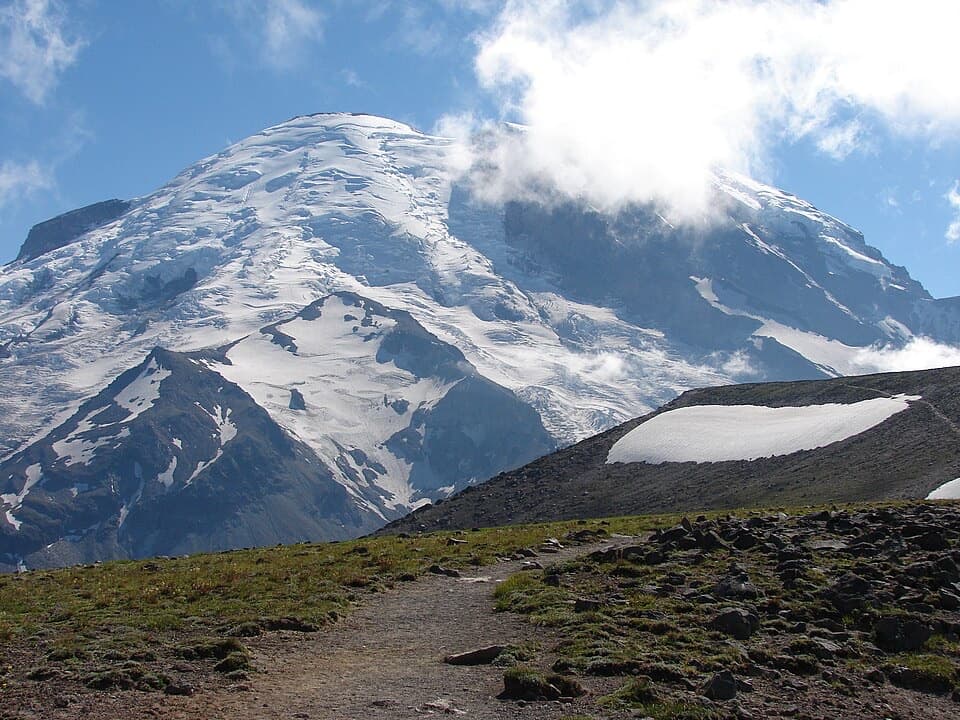
The route begins in shade beside Panther Creek, among Douglas-fir, cedar and hemlock. That lasts for roughly three-quarters of a mile. Then the path enters an old burn and climbs steeply across open slopes. Most of the next two and a half miles have little shade. The first broad view of Mount Rainier comes around mile 2.5, but the climb keeps going; don’t mistake the first view for the summit.
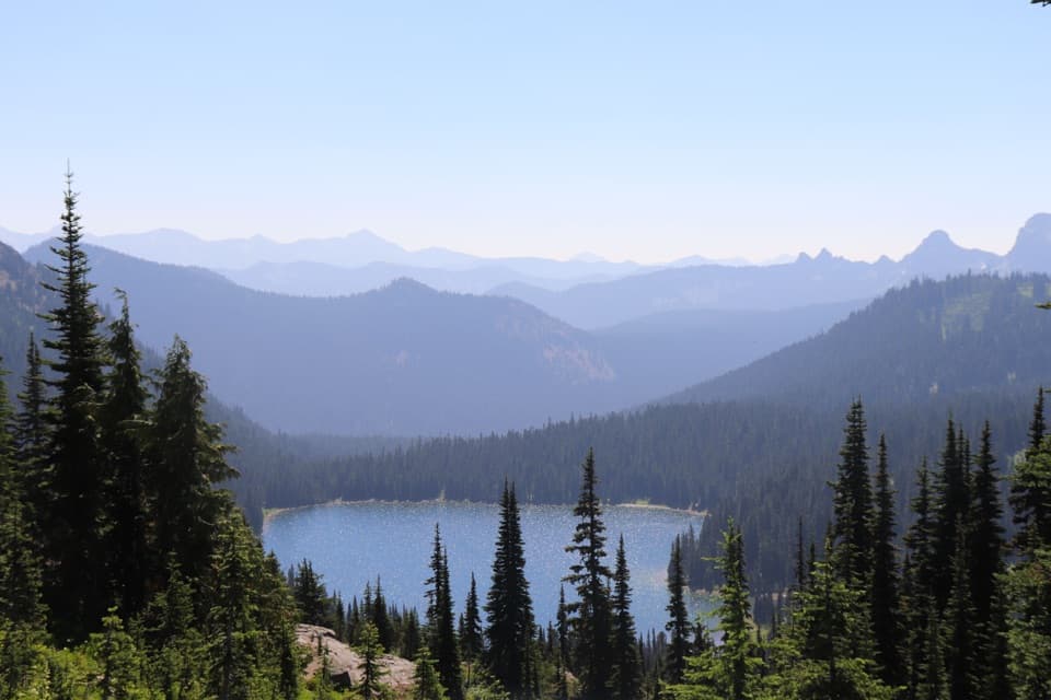
After the steep climb to the ridge, there is about a half-mile along its crest before the final switchbacks. Shriner Lake sits far below the route around mile 3.5. The last mile is dustier and rockier, and the lookout comes into view about a quarter-mile before the top. From the summit, look across the Ohanapecosh Valley to Mount Rainier and the Cascades; on a clear day, the panorama also takes in Little Tahoma, Mount Adams, Goat Rocks and Mount St. Helens. For a photo, include the lookout with Rainier behind it rather than framing the mountain alone.
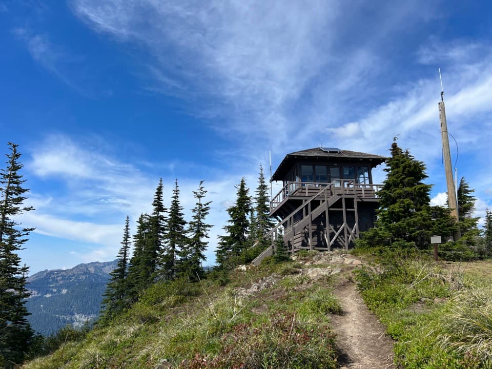
The two-story Shriner Peak Fire Lookout was built in 1932 and is one of four lookouts remaining in the park. Firewatchers used it to spot smoke and lightning, then reported what they saw by telephone. It saw heavy use during a July 1934 fire that burned 630 acres of park land. Aerial surveillance later became the main way to spot fires, though the lookouts are still used occasionally. The wilderness camp is just south of the building; the lookout itself is not available for overnight stays.
Wildlife
 466 sightingsMountain GoatMost seen around 6 AMSighting map
 383 sightingsBlack BearMost seen around 7 PMSighting map
 10 sightingsWolverineMost seen around 6 AMSighting map
 58 sightingsElkMost seen around 6 AMSighting map
 574 sightingsMule DeerMost seen around 6 AMSighting map
 1,853 sightingsHoary MarmotMost seen around 6 AMSighting map
Sighting maps show where each species has been reported across Mount Rainier. Wildlife moves, so no sighting is guaranteed.
Keep exploring
 EasyDeer Creek Falls Trail0.8 mi · 45 min · 2.4 mi awayA short, steep forest walk to Deer Creek’s tiered falls.
 ModerateStafford Falls via Deer Creek3.6 mi · 2.5 hr · 2.4 mi awayBlue-green pools and a punch bowl after a steep forest drop.
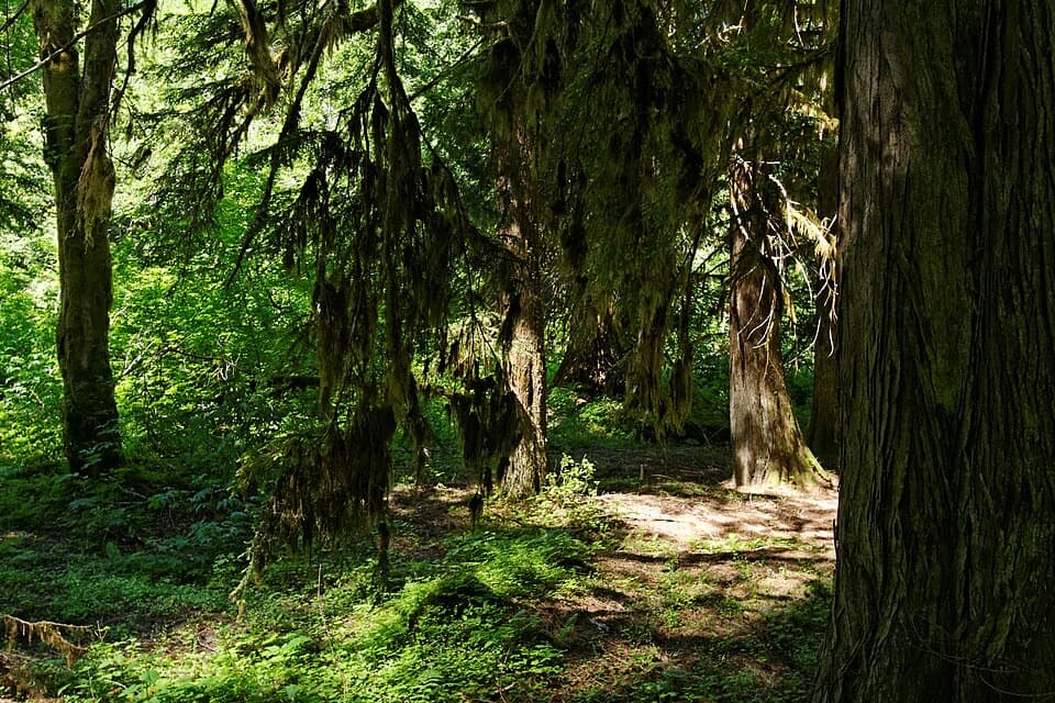 EasyGrove of the Patriarchs Trail1.1 mi · 1 hr · 3 mi awayAn easy island loop under some of Mount Rainier’s biggest trees.
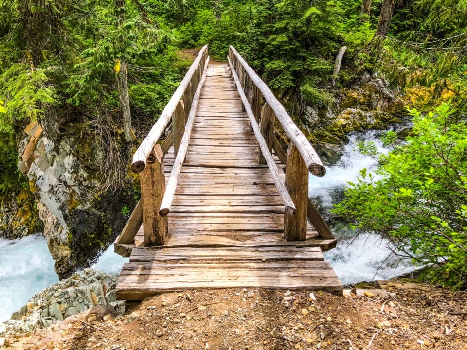 ModerateEastside Trail to Ohanapecosh Falls7.4 mi · 4 hr · 3 mi awayA forest walk to a nearly 70-foot, two-tier waterfall.
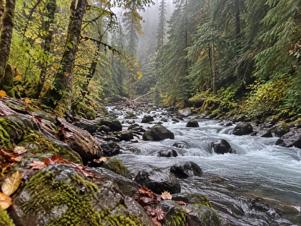 ModerateCowlitz Divide Trail8.5 mi · 5 hr · 3.2 mi awayAn old-growth creek walk ends at a backcountry junction.
 ChallengingLaughingwater Creek Trail12 mi · 6 hr · 3.5 mi awayA steady forest climb to backcountry lakes and an old patrol cabin.
 ModerateSilver Falls Loop Trail2.7 mi · 1.5 hr · 4.5 mi awayAn old-growth river loop to a 75-foot waterfall.
 ChallengingIndian Bar Trail14.5 mi · 11 hr · 4.5 mi awayA hard ridge crossing opens into a waterfall-filled alpine basin.
 Sight · 0.5 mi awayOhanapecosh FallsTwo drops, a footbridge, and a long walk into the forest.
 Sight · 1.3 mi awayStafford FallsA blue-green waterfall hike with a steep climb back to the road.
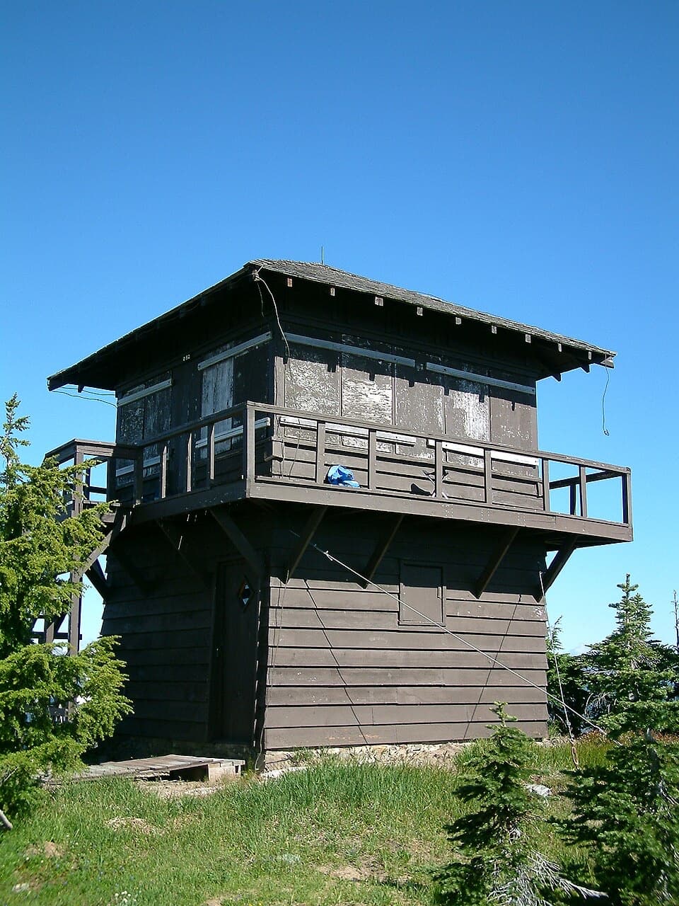 Sight · 1.4 mi awayShriner Peak Fire LookoutA 1932 lookout caps a steep hike to Rainier’s southeast panorama.Sight · 2.4 mi awayDeer Creek FallsA short downhill walk to a 60-foot gorge waterfall.
 Sight · 2.6 mi awayGrove of the PatriarchsOld-growth conifers on a small island in the Ohanapecosh River
 Entrance station · 3.2 mi awayStevens Canyon EntranceGet a map before setting out on the cross-park road.Sight · 3.4 mi awaySilver FallsA 60-foot drop and a footbridge in an old-growth gorge.
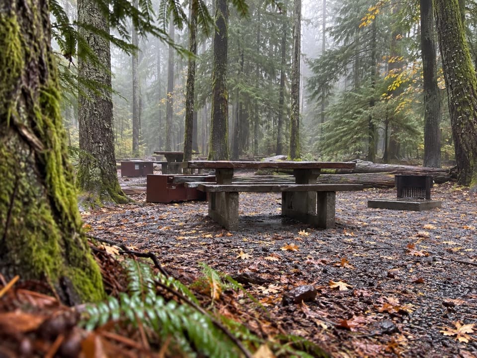 Campground · 4.5 mi awayOhanapecosh CampgroundOld-growth shade, river access, and hikes right from camp.
Parkwolf’s Mount Rainier ranking

The audio tour guide for the drive, plus offline maps, trails, and wildlife heatmaps for when the signal drops.