Grove of the Patriarchs Trail in Mount Rainier National Park

Mount Rainier National Park, WA

Grove of the Patriarchs Trail

An easy island loop under some of Mount Rainier’s biggest trees.

Photo: Wikimedia Commons
Length
1.1mi
Time
1hr
Elevation
Flat
Difficulty
Easy
  • No dogs
  • High point 2,203 ft
  • #20 of 99 in Mount Rainier

Hear the audio tour

Laughingwater Creek: A Full Day to Three Lakes

Overview

About Grove of the Patriarchs Trail

Why go

  • Large old-growth trees on a gentle, short walk
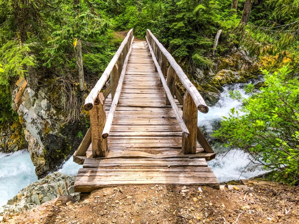
  • Boardwalk and a river crossing add variety to the forest route

Heads up

  • The trailhead approach is retraced on the return
  • The payoff is forest, not a broad mountain panorama
Choose this walk for an unusually close look at old growth without a long climb or full-day commitment. The short distance, gentle grade and boardwalk make it a good fit for families and visitors who want a low-effort forest stop. It is less compelling if you came for a Rainier panorama, a summit or a long, strenuous hike; the reward here is the grove itself. The route's approach is an out-and-back even though the island section loops, so you walk the access path again on the return.
Parkwolf’s verdictWho will enjoy it

Map & elevation

The route

Loading the Mount Rainier map
Full map
Elevation2,168–2,203 ft
TrailheadGrove of the Patriarchs Trailhead / parking lot46.75817, -121.55743
Keep this map with you offline in the Parkwolf app

Plan your hike

Before you go

Parking

The Grove of the Patriarchs is closed to all recreation after the suspension bridge failed in the November 2021 floods and was removed. The National Park Service lists replacement bridge and trail construction for the 2027–2028 seasons; reopening has not been confirmed. The historical route described below is not currently accessible. Do not cross the river or enter the closed grove. Use the Grove of the Patriarchs parking area on Stevens Canyon Road, just beyond Stevens Canyon Entrance. The signed trailhead shares access with the Eastside Trail; the Grove branch leaves that route before the suspension bridge. Restrooms are at the lot. The park lists a May–October season.

Safety

The Grove of the Patriarchs is closed to all recreation after the suspension bridge failed in the November 2021 floods and was removed. The National Park Service lists replacement bridge and trail construction for the 2027–2028 seasons; reopening has not been confirmed. The historical route described below is not currently accessible. Do not cross the river or enter the closed grove. The Ohanapecosh River is swift and cold; the designed route crosses by suspension bridge, so do not substitute a river ford. Pets and bicycles are prohibited on Mount Rainier park trails.

7 active Mount Rainier alerts

  • ClosureWildfire closures in the northern parkGrand Park 2 and Wonderland Complex fire closures affect trails, backcountry camps, and Sunrise access; stay out of closed areas.Official details
  • ClosureSR 165 bridge closed: no public access to Carbon River or Mowich LakeThe SR 165 Carbon River/Fairfax Bridge is closed to vehicles, bicycles, and pedestrians; there is no public access or alternate route to Carbon River or Mowich Lake.Official details
See all 7 alerts
A park ranger sits on a dash-mounted phone, talking, as Parkwolf’s Tour Guide plays “Army Cutworm Moths: A Grizzly Bear Buffet” on Grand Loop Road below Dunraven Pass in Yellowstone
Parkwolf Tour GuideThe highest, rockiest slopes around here are a summer buffet for grizzly bears.

Mount Rainier Tour Guide

Your drive to Grove of the Patriarchs Trail, narrated.

Parkwolf is a GPS audio tour guide for Mount Rainier National Park. As you drive, it chimes in with what’s ahead: hidden gems, upcoming stops, history, geology, and wildlife, right through your car’s speakers.

See the Mount Rainier audio tour

Recorded for this area

Laughingwater Creek: A Full Day to Three Lakes
0:00 / 0:25
“You're coming up on Laughingwater Creek trailhead, where the hike to Three Lakes starts across the highway from the parking area.”

Plays on the road 0.4 mi from the trailhead in the Parkwolf Mount Rainier Tour Guide.

More stories near here in the app

  • A Woodpecker's Rectangular Clue
  • A Banana Slug's Slime
  • A Douglas-fir’s Thick Skin
  • Ohanapecosh: Old Forest and Silver Falls
  • 77 audio storiesacross Mount Rainier’s roads, triggered by GPS as you drive
  • Wildlife heatmapsfor Mountain Goat, Black Bear, Wolverine, and 13 more
  • Works offlinemaps, 99 trails, 87 places, and audio download before you lose signal
  • CarPlay readysimple controls built for the drive
★★★★★
“Fantastic app with many points of information… It’s great to just turn on while you’re driving and it gives you an audio tour of the national Park. We love it!!!!”
JMJamesApp Store review
Download Parkwolf on the App StoreGet Parkwolf on Google Play

4.7 from 8,600+ ratings

Trail guide

Hiking Grove of the Patriarchs Trail

Access restrictionThe Grove of the Patriarchs is closed to all recreation after the suspension bridge failed in…

The Grove of the Patriarchs is closed to all recreation after the suspension bridge failed in the November 2021 floods and was removed. The National Park Service lists replacement bridge and trail construction for the 2027–2028 seasons; reopening has not been confirmed. The historical route described below is not currently accessible. Do not cross the river or enter the closed grove.

A short trip into the groveThe Grove of the Patriarchs Trail is an easy 1.

The Grove of the Patriarchs Trail is an easy 1.1-mile round-trip walk from its trailhead, with a small loop at the far end on an island in the Ohanapecosh River. You follow a forest path to a suspension bridge, cross to the island, then circle among old-growth trees on boardwalk and dirt before retracing the approach. The route gains only about 50 feet. Allow roughly an hour if you want time for the interpretive signs and a slow look around; this is a nature walk, not a conditioning hike.

Follow the right branchThe first third of a mile follows the Eastside Trail corridor from the parking area.

The first third of a mile follows the Eastside Trail corridor from the parking area. At the junction just before the river, take the Grove branch. Eastside continues north toward longer backcountry routes, so the signed turn matters if you mean to visit the grove. The approach stays in forest and alternates between natural dirt tread and built crossings. Hikers have reported roots and rocks before the boardwalk begins, so watch your footing on that short stretch.

Cross to the islandThe route's signature crossing is a short suspension bridge over cold, fast-moving river water.

The route's signature crossing is a short suspension bridge over cold, fast-moving river water. It links the trail to the small island; this is not a place to improvise a river crossing. Once across, the path bends through low, damp ground on boardwalk and dirt. The island circuit is compact and nearly level, but it is worth taking slowly. Wooden waysides explain what is happening around you, and the raised walkway keeps the route clear through the softer parts of the forest floor.

Look at the whole forestThe grove holds Douglas-fir, silver fir, hemlock and western red cedar, with a lush understory…

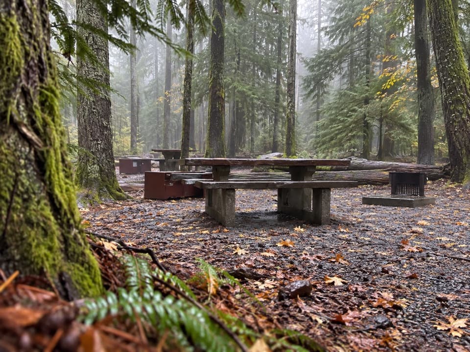
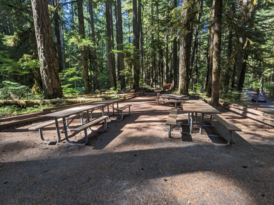
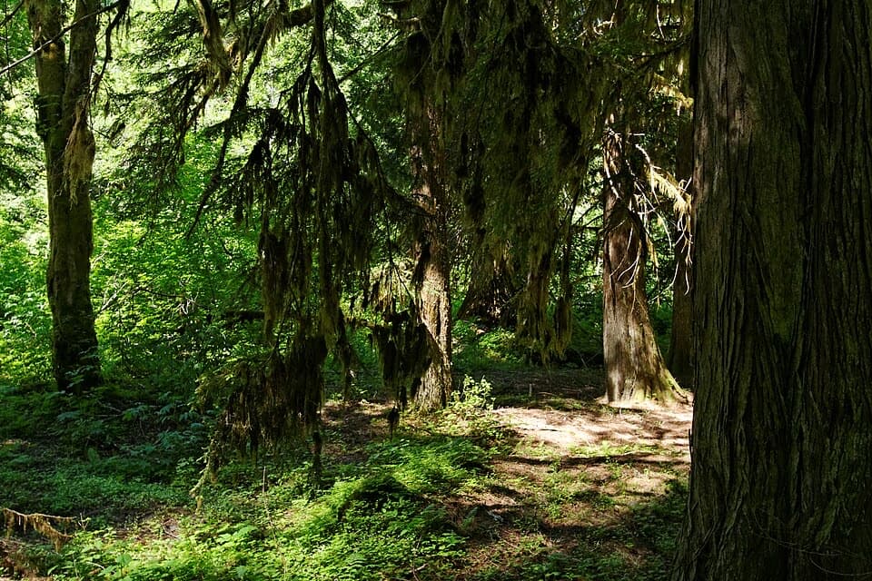
The grove holds Douglas-fir, silver fir, hemlock and western red cedar, with a lush understory below the canopy. Some trees are estimated at more than 300 feet tall and over 1,000 years old; those are broad estimates for the grove, not measurements of named trees. A fallen giant makes the scale easier to read: look from the wide trunk to its exposed roots, then back up to the trees still standing. The main payoff is being among the trees, close enough to notice bark, moss and the crowded layers of branches.

Trailhead basicsThe trailhead is at the Grove parking area on Stevens Canyon Road, just beyond Stevens Canyon…

The trailhead is at the Grove parking area on Stevens Canyon Road, just beyond Stevens Canyon Entrance. Restrooms are at the lot, and the usual hiking season is May through October. No food or drinking water is listed there. Pets and bicycles are not permitted on park trails, and the island route should be kept to its marked tread and boardwalk.

Wildlife

Wildlife in Mount Rainier

All Mount Rainier wildlife maps

Sighting maps show where each species has been reported across Mount Rainier. Wildlife moves, so no sighting is guaranteed.

Keep exploring

Near Grove of the Patriarchs Trail

See it all on the map

Trails that start nearby

Places near the trailhead

Parkwolf’s Mount Rainier ranking

Top-rated trails in Mount Rainier

All 99 trails
  1. 1Wonderland TrailChallenging · 93 mi
  2. 2Skyline Trail LoopChallenging · 5.5 mi
  3. 3Mount Fremont Lookout TrailModerate · 5.6 mi
  4. 4Burroughs Mountain TrailModerate · 6.2 mi
  5. 5Summerland TrailModerate · 8.4 mi
  6. 6Naches Peak Loop TrailModerate · 3.5 mi

Take Parkwolf to Mount Rainier.

The audio tour guide for the drive, plus offline maps, trails, and wildlife heatmaps for when the signal drops.

4.7 from 8,600+ ratings

Download Parkwolf on the App StoreGet Parkwolf on Google Play