1 active Mount Rushmore alert
- InfoSculptor’s Studio Heat AdvisoryThe Sculptor’s Studio may close temporarily during periods of high heat. - The closure protects visitors and staff from high heat.Official details
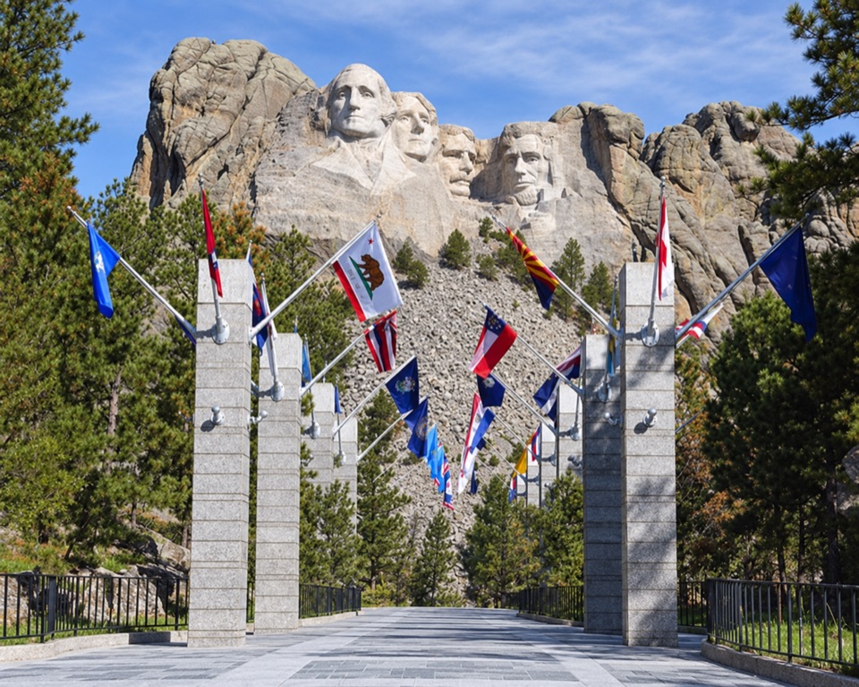
#3 of 11 sights in Mount Rushmore
Sight · Mount Rushmore National Memorial
Pick out your flag on the walk to the main terrace.
Overview
Map
Plan your stop

The highest, rockiest slopes around here are a summer buffet for grizzly bears.
Mount Rushmore Tour Guide
Parkwolf is a GPS audio tour guide for Mount Rushmore National Memorial. As you drive, it chimes in with what’s ahead: hidden gems, upcoming stops, history, geology, and wildlife, right through your car’s speakers.
Recorded for this place
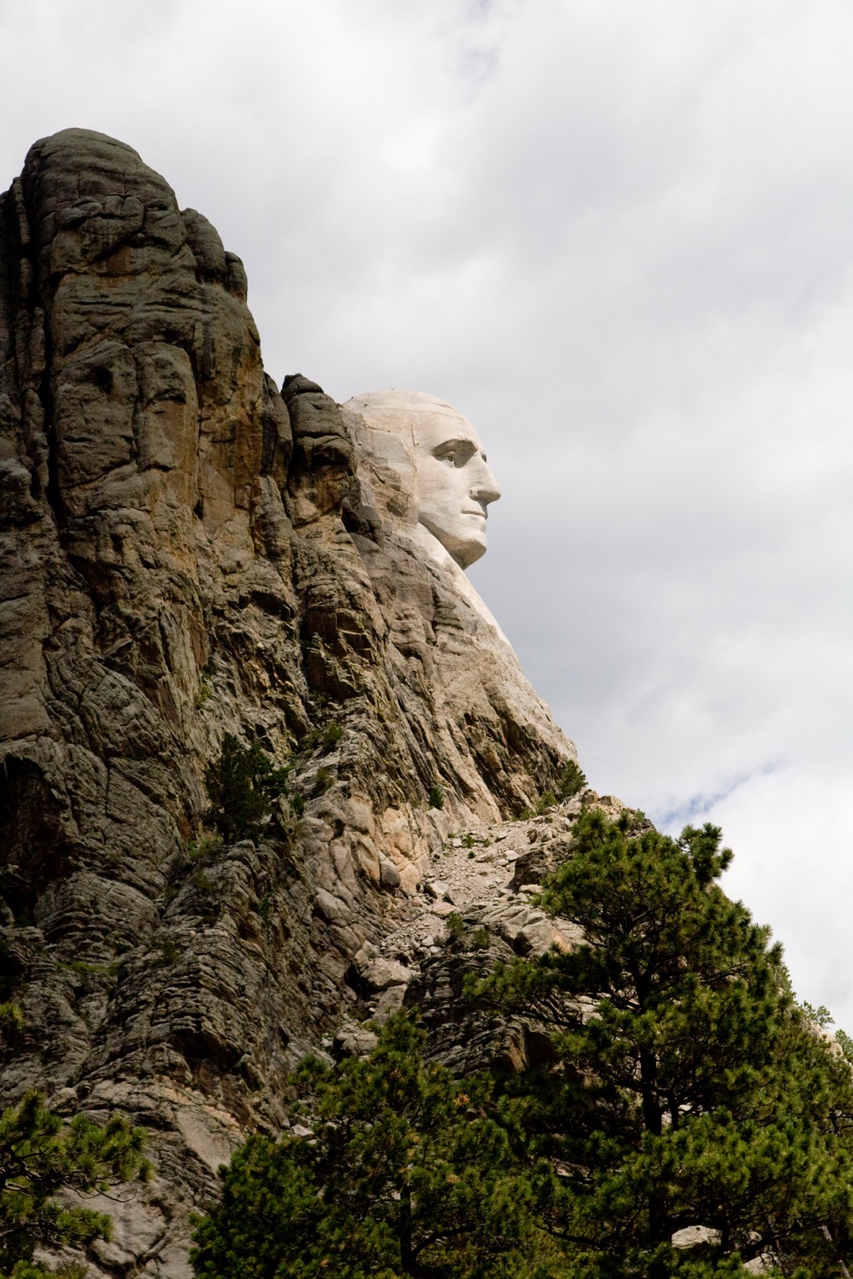
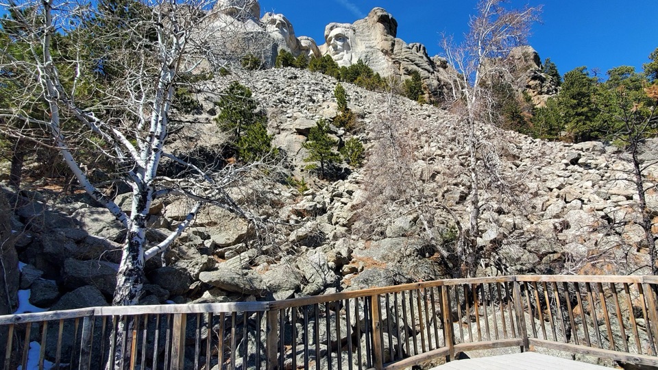
Grand View Terrace and the Visitor Complex“You're approaching the memorial visitor complex and the walk to Grand View Terrace. For the classic photo of all four faces, keep some granite below the portraits in frame to show their scale.”
Plays as you drive up to Avenue of Flags in the Parkwolf Mount Rushmore Tour Guide.
More stories near here in the app
“We recently toured Badlands, Custer State Park, Mount Rushmore and more! We learned so much from this app as we toured each of these sites. The audio tours are worth the money.”


Guide
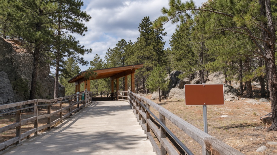
Avenue of Flags is the wide concrete promenade between the memorial’s concession building and Grand View Terrace, lined on both sides with 56 flags. They represent the 50 states, Washington, D.C., three territories and two commonwealths. Take it as part of your walk to the terrace; it’s a better stop if you pause to find your flag than if you hurry straight through.
The flags run alphabetically from A near the concession building to W near Grand View Terrace. Plaques name each jurisdiction; those for states, territories and commonwealths also show the year each joined the United States. Start with the flag you’re looking for instead of trying to read every plaque.
The avenue was established for the United States Bicentennial in 1976 after a visitor suggested the flag display. That gives the alphabetical lineup a purpose beyond decoration: it’s a roll call of the country beside the four presidents carved into the mountain.
The Avenue is wheelchair accessible and has benches, so you can take the plaques at your own pace. For a photo, stand with a flag that means something to you and leave a few more flags in the frame; that keeps the setting in the picture too.
Wildlife
 87 sightingsMountain GoatMost seen around 6 PMSighting map
 44 sightingsMule DeerMost seen around 6 PMSighting map
 20 sightingsWhite-tailed DeerMost seen around 6 PMSighting map
 14 sightingsTurkey VultureMost seen around 1 PMSighting map
 32 sightingsMarmotMost seen around 7 AMSighting map
 11 sightingsBrook TroutMost seen around 8 PMSighting map
Sighting maps show where each species has been reported across Mount Rushmore. Wildlife moves, so no sighting is guaranteed.
Keep exploring
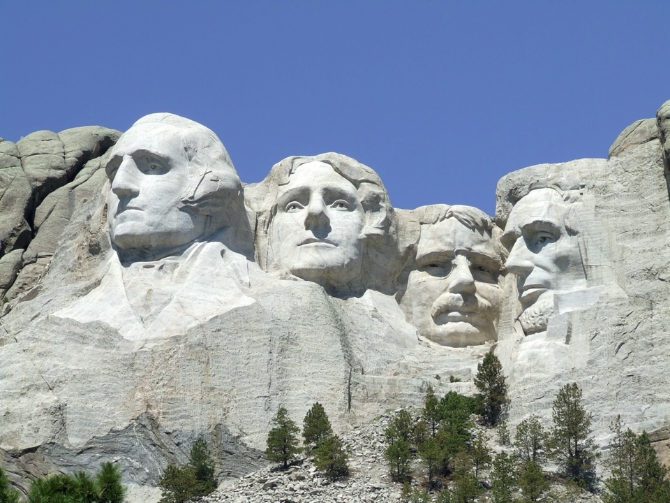 ModeratePresidential Trail0.6 mi · 36 min · At the trailheadClose views of the carving, plus 422 stairs around the loop.
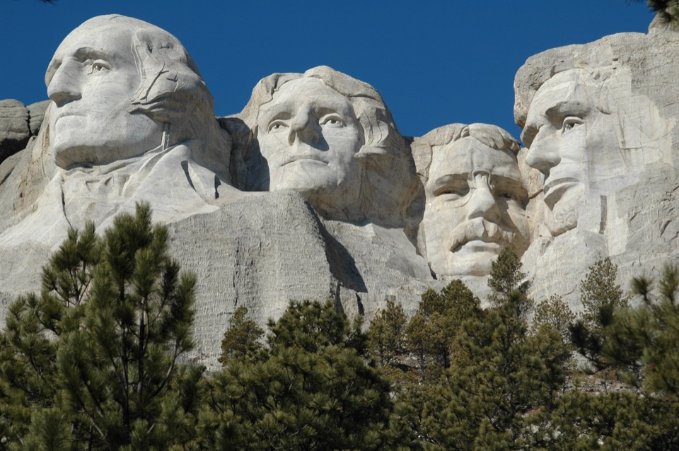 EasyPresidential Trail (Stair-Free Route)0.4 mi · 24 min · At the trailheadA close view of the carved faces without the full stair loop.
 EasyNature Trail0.4 mi · 18 min · 0.1 mi awayA wooded link to Borglum's Sculptor's Studio.
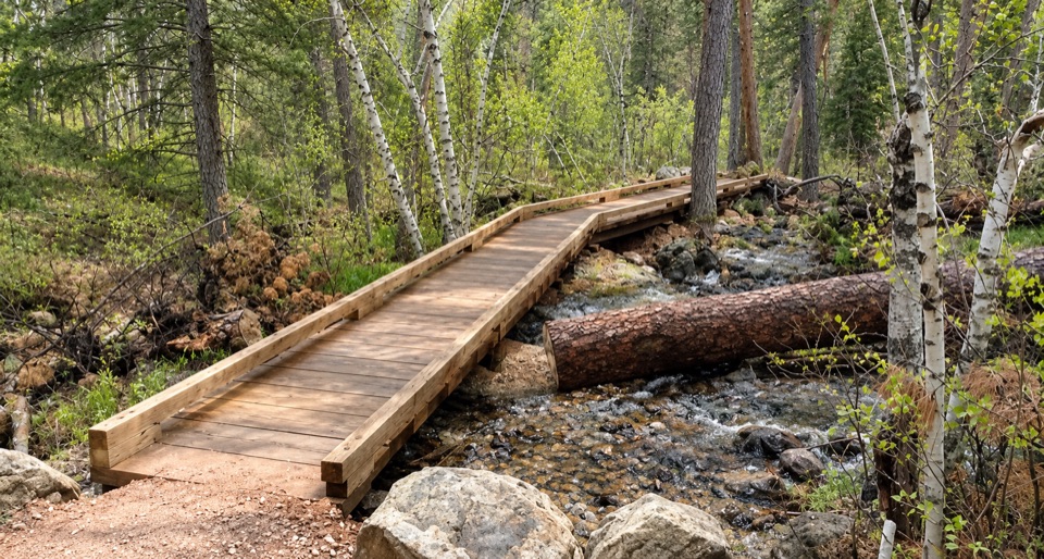 ModerateBlackberry Trail1.5 mi · 45 min · 0.2 mi awayA wooded creek walk, then a steady climb back.
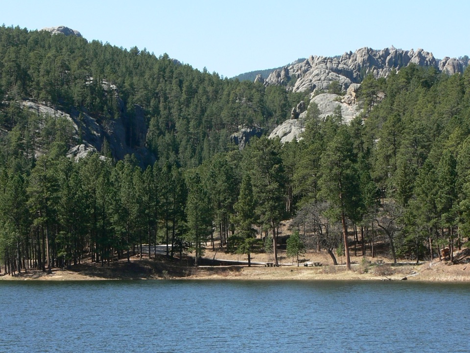 ModerateHorse Thief Lake via Blackberry and Centennial Trail3.8 mi · 2.5 hr · 0.2 mi awayA creekside forest route leads from a granite memorial to Horsethief Lake.
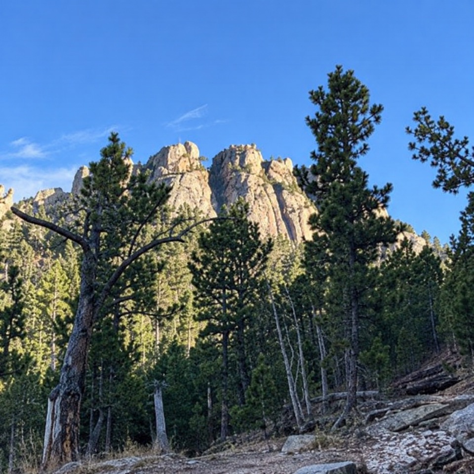 ModerateWillow Creek Rushmore Trail #51.9 mi · 1.2 hr · 3.3 mi awayA short one-way forest route toward Mount Rushmore.
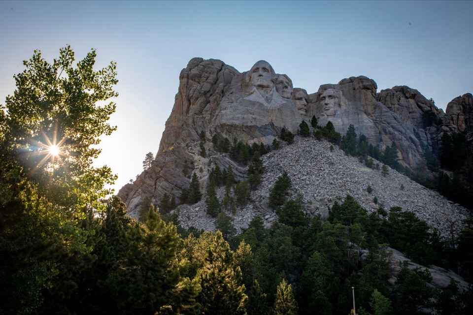 ChallengingMount Rushmore via Centennial Trail10.7 mi · 6 hr · 4.1 mi awayA long Centennial approach to the Mount Rushmore memorial.
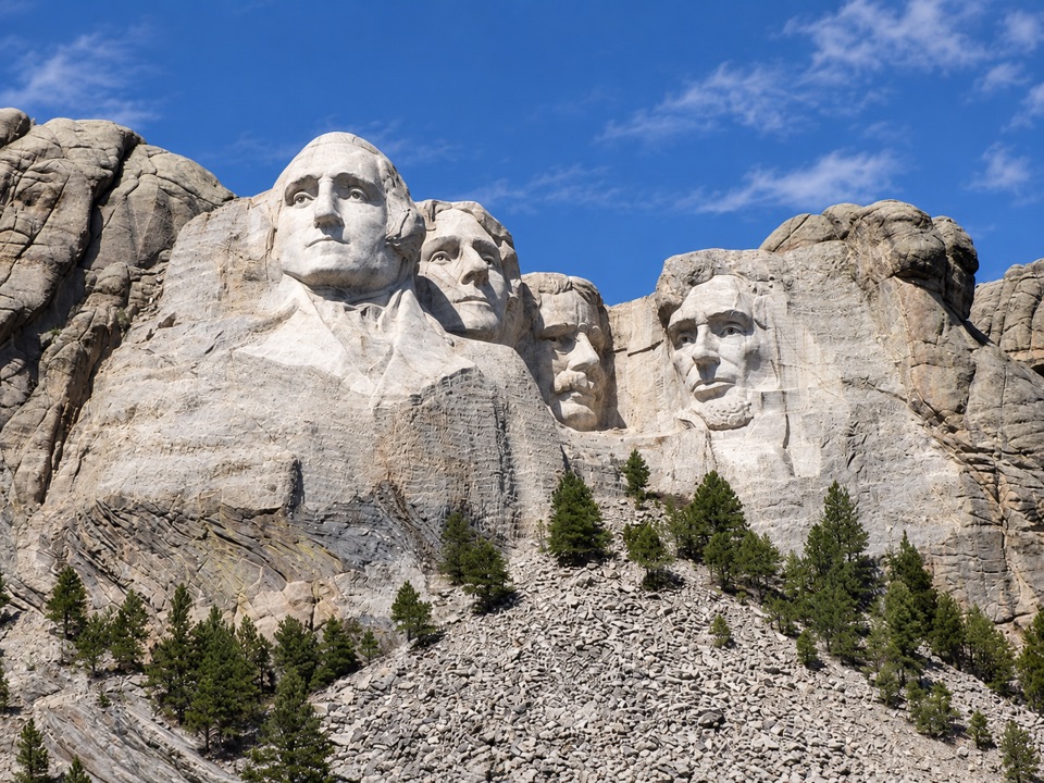 Sight · At the trailheadGrand View TerraceA clear, close look at all four faces from the terrace.
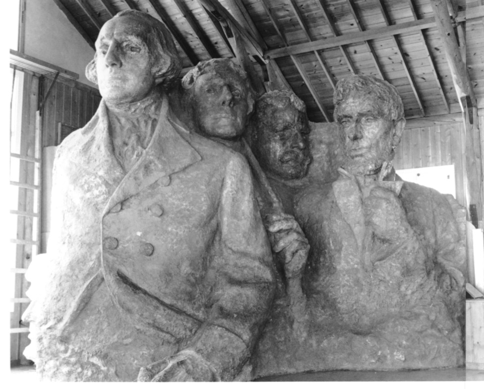
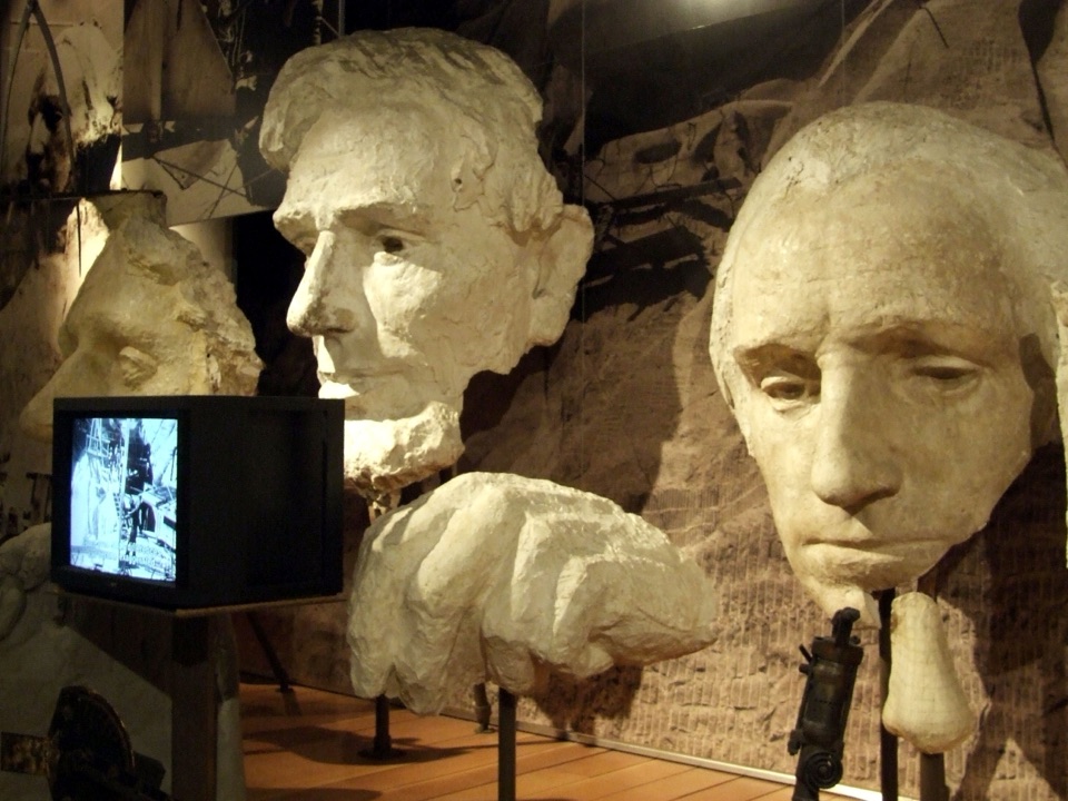 Visitor center · At the trailheadLincoln Borglum Visitor CenterTrace the carving from plaster models to workers’ photographs.
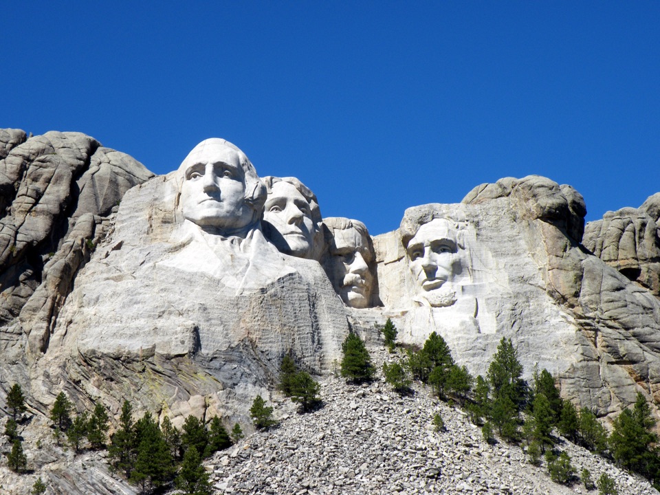 Sight · At the trailheadHistoric View TerraceAn original Rushmore viewpoint, a little away from the main terrace.
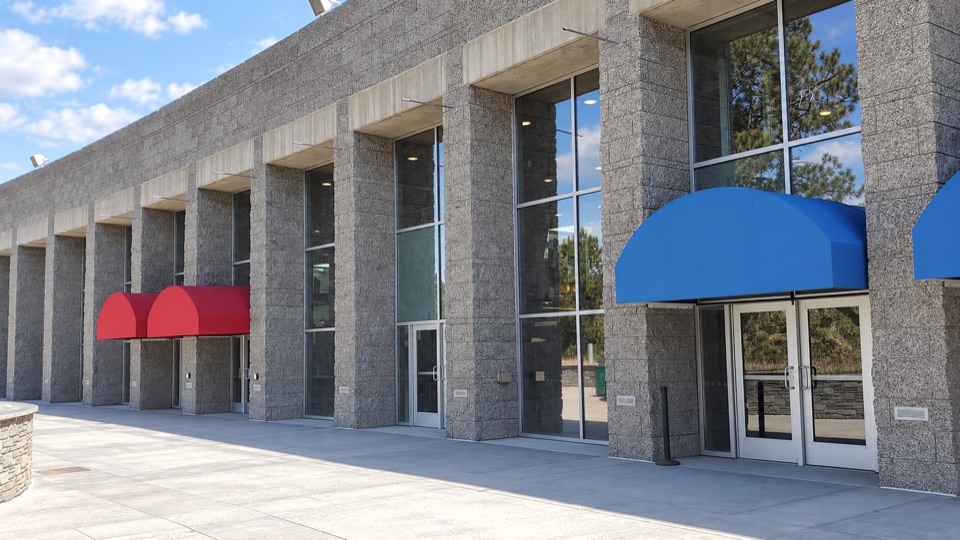 Food · At the trailheadCarvers' CaféBuffalo chili and Jefferson-inspired vanilla with the sculpture in view.
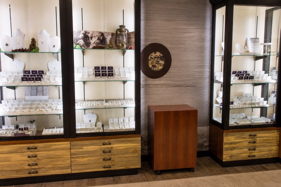 Store · 0.1 mi awayMount Rushmore Gift ShopBrowse Black Hills Gold and local goods alongside familiar souvenirs.
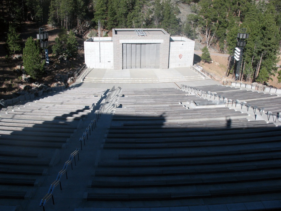 Sight · 0.1 mi awayMount Rushmore National Memorial AmphitheaterWatch the memorial light up from a seat below the faces.
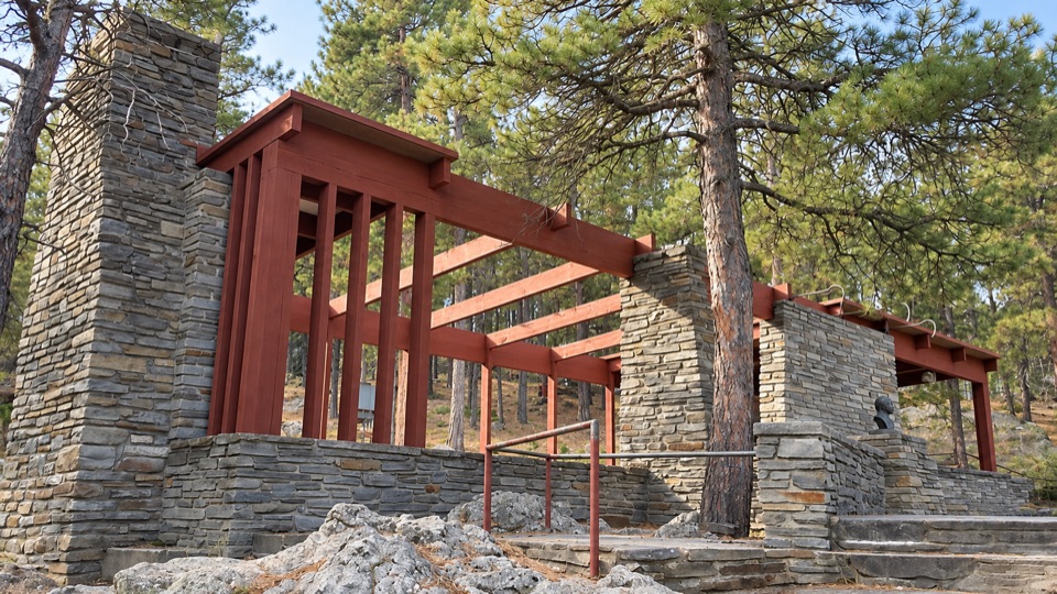 Sight · 0.1 mi awayBorglum View TerraceStand where Borglum first planned the carving.
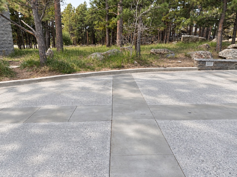 Restroom · 0.1 mi awayMain Entrance RestroomsA handy restroom stop opposite the entrance Information Center.
Parkwolf’s Mount Rushmore ranking

The audio tour guide for the drive, plus offline maps, trails, and wildlife heatmaps for when the signal drops.