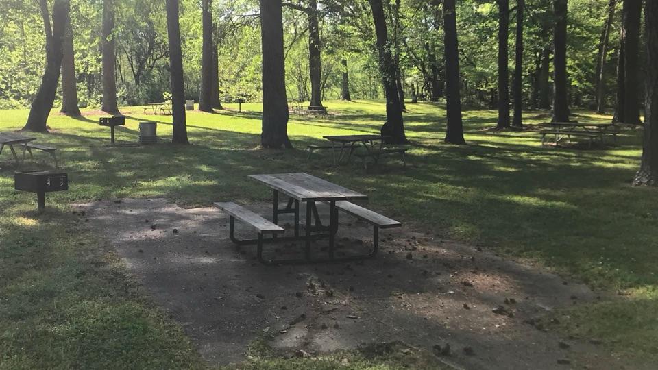
Coles Creek Picnic Area in Natchez Trace Parkway

Picnic area · Natchez Trace Parkway

Coles Creek Picnic Area

Shaded creekside tables and restrooms at milepost 17.5

Photo: National Park Service
Type
Picnic area
Nearest trail
0.4 mi
Audio stories
3 nearby
  • Picnic tables
  • Restrooms
  • Scenic viewpoint

Hear the audio tour

Potkopinu Section and Coles Creek

Overview

About Coles Creek Picnic Area

Why stop

  • Shady creekside setting for a relaxed picnic
  • Easy leg-stretch stop with nearby Potkopinu trail access

Heads up

  • Creek is near the picnic area, not directly beside every table
  • Modest stop without a major attraction beyond the picnic setting
At milepost 17.5 on the Natchez Trace Parkway, this is a genuinely shady spot to break a drive. Tall trees shade the area beside a bend in Coles Creek, and the mix of picnic tables and grills makes it a practical lunch stop rather than a quick pull-off. There are restrooms here, including an accessible restroom.
Parkwolf’s verdictWhy stop

Map

Where it is

Loading the Natchez Trace map
Full map
Picnic areaColes Creek Picnic Area31.71134, -91.17958
Keep this map with you offline in the Parkwolf app

Plan your stop

Before you go

Best time to go

Midday works well because the canopy keeps the tables shaded. That same shade means photos here tend to look best in early morning or late afternoon, when the light is generally softer. Spring and fall are the most comfortable seasons; in high summer, aim for the tables well back under the trees.


4 active Natchez Trace alerts

  • ClosureParkway sections closed for bridge and road constructionTwo Natchez Trace Parkway sections are closed to through traffic; follow the signed detours.Official details
  • ClosureMount Locust historic stand closedThe historic stand at Mount Locust Inn & Plantation (MP 15.5) is closed because of structural concerns.Official details
See all 4 alerts
A park ranger sits on a dash-mounted phone, talking, as Parkwolf’s Tour Guide plays “Army Cutworm Moths: A Grizzly Bear Buffet” on Grand Loop Road below Dunraven Pass in Yellowstone
Parkwolf Tour GuideThe highest, rockiest slopes around here are a summer buffet for grizzly bears.

Natchez Trace Tour Guide

Your drive to Coles Creek Picnic Area, narrated.

Parkwolf is a GPS audio tour guide for Natchez Trace Parkway. As you drive, it chimes in with what’s ahead: hidden gems, upcoming stops, history, geology, and wildlife, right through your car’s speakers.

Recorded for this place

Potkopinu Section and Coles Creek
0:00 / 0:25
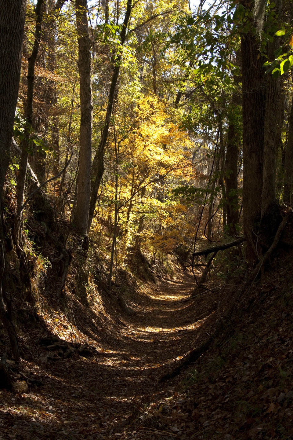
“You're approaching the turnoff for the south Potkopinu trailhead. This is the longest walkable stretch of the original Trace, with banks more than twenty feet high where traffic wore the road down.”

Plays as you drive up to Coles Creek Picnic Area in the Parkwolf Natchez Trace Tour Guide.

More stories near here in the app

  • The Mud Chimney's Tenant
  • Mount Locust Historic House
  • The Word on the Trail Sign
  • The Daytime Chorus
  • 272 audio storiesacross Natchez Trace’s roads, triggered by GPS as you drive
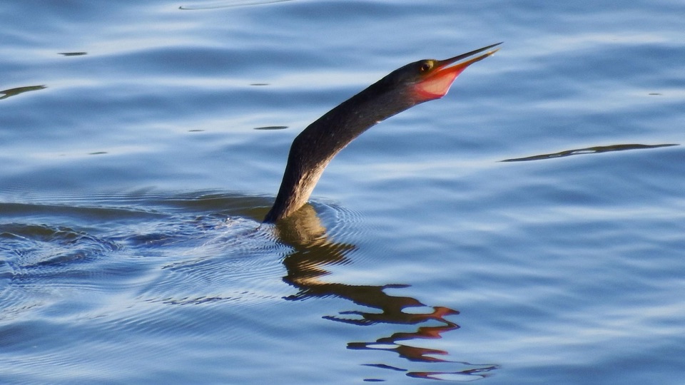
  • Wildlife heatmapsfor American Alligator, White-tailed Deer, Wild Turkey, and 9 more
  • Works offlinemaps, 26 trails, 62 places, and audio download before you lose signal
  • CarPlay readysimple controls built for the drive
★★★★★
“Fantastic app with many points of information… It’s great to just turn on while you’re driving and it gives you an audio tour of the national Park. We love it!!!!”
JMJamesApp Store review
Download Parkwolf on the App StoreGet Parkwolf on Google Play

4.7 from 8,600+ ratings

Guide

More about Coles Creek Picnic Area

What you'll findRoughly 19 to 21 picnic tables spread through the area.
  • Roughly 19 to 21 picnic tables spread through the area. Counts vary depending on the source, so treat that as approximate.
  • Several grills for cooking.
  • Most tables sit under the canopy, though some are out in the open sun.
  • The creek is near the picnic area rather than directly alongside the tables.
  • A scenic view worth a photo, especially where the trees open toward the bend.
NearbyThe southern terminus of the Potkopinu Section of the Natchez Trace National Scenic Trail is…

The southern terminus of the Potkopinu Section of the Natchez Trace National Scenic Trail is about a half mile south of here, so it pairs naturally with a stop if you want to stretch beyond the picnic area.

Honest drawbacksThis is a modest picnic stop, not a destination: picnic tables, grills, restrooms, and a pretty…

This is a modest picnic stop, not a destination: picnic tables, grills, restrooms, and a pretty creek bend. The creek is close but not the centerpiece, so if you're picturing tables at the water's edge, adjust expectations. Visitors consistently describe it as a peaceful, beautiful place to stretch their legs and eat, which is exactly the right expectation to bring.

Wildlife

Wildlife in Natchez Trace

All Natchez Trace wildlife maps

Sighting maps show where each species has been reported across Natchez Trace. Wildlife moves, so no sighting is guaranteed.

Parkwolf’s Natchez Trace ranking

Top sights in Natchez Trace

All 62 places
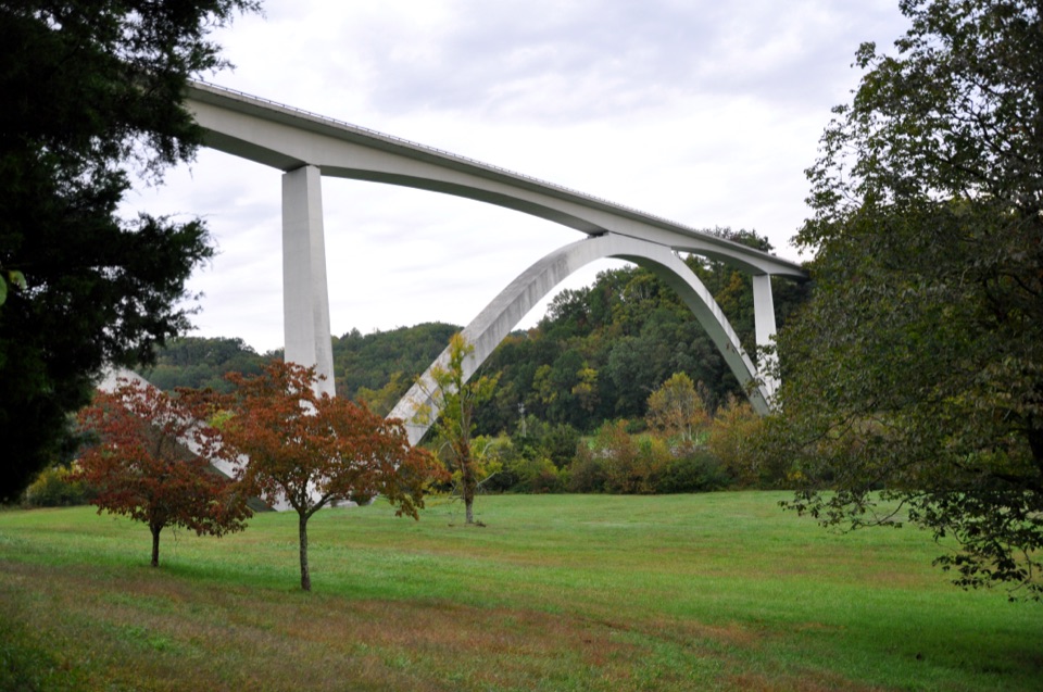
  1. 1Double Arch Bridge at Birdsong HollowSight
  2. 2Cypress SwampSight
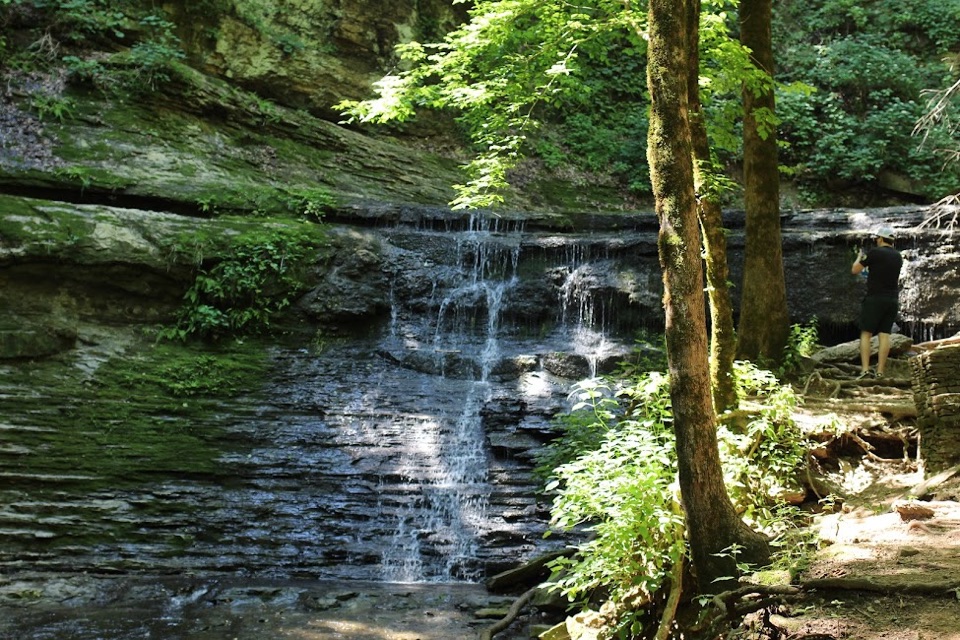
  3. 3Jackson FallsSight
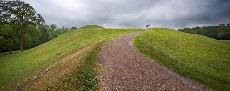
  4. 4Emerald MoundSight
  5. 5Reservoir OverlookSight
  6. 6Mount Locust Historic HouseSight

Take Parkwolf to Natchez Trace.

The audio tour guide for the drive, plus offline maps, trails, and wildlife heatmaps for when the signal drops.

4.7 from 8,600+ ratings

Download Parkwolf on the App StoreGet Parkwolf on Google Play