Parking
Use the Mount Locust Information Center parking area at milepost 15.5; the visitor grounds and restrooms are alongside the lot.
Natchez Trace Parkway, MS · AL · TN
Short history loop through Mount Locust's house, cemeteries and Old Trace.
Overview
Map & elevation
Plan your hike

The highest, rockiest slopes around here are a summer buffet for grizzly bears.
Natchez Trace Tour Guide
Parkwolf is a GPS audio tour guide for Natchez Trace Parkway. As you drive, it chimes in with what’s ahead: hidden gems, upcoming stops, history, geology, and wildlife, right through your car’s speakers.
Recorded for this trailhead
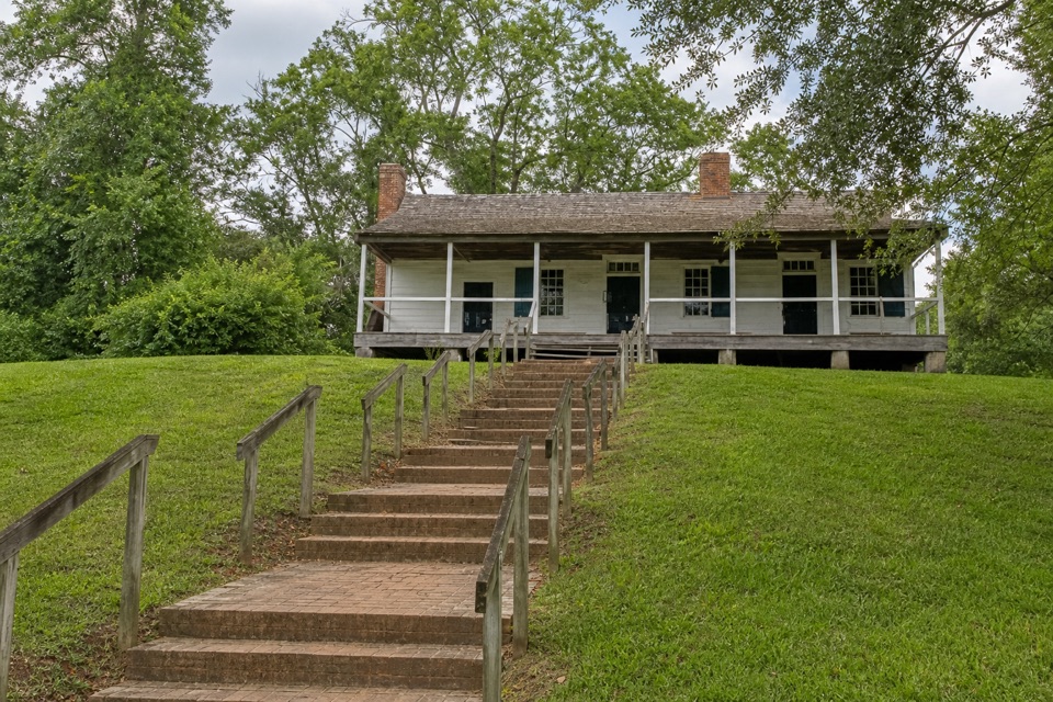
Mount Locust Historic House“You're approaching Mount Locust, the only surviving stand, or roadside inn, on the old Trace.”
Plays as you drive up to this trailhead in the Parkwolf Natchez Trace Tour Guide.
More stories near here in the app
“Fantastic app with many points of information… It’s great to just turn on while you’re driving and it gives you an audio tour of the national Park. We love it!!!!”


Trail guide
The 0.58-mile Mount Locust Trail is a short loop through the historic grounds, joining the Old Trace, the house yard and cemetery paths before returning to the Mount Locust Information Center parking area. It is a compact grounds walk rather than a secluded woodland hike; the interest is in moving among the surviving buildings, former work sites and memorial places.
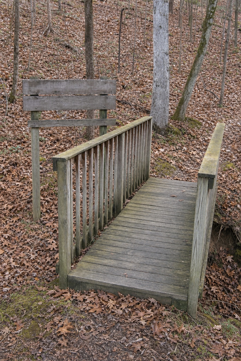
Expect a paved approach followed by mixed paved, gravel, earth, grass and brick paths. One flight of stairs links the Trace to the house; short pitches are steep, with cross-slopes in places. The loop passes the house exterior, grape arbor area, historic Trace and cemetery clearings. Interpretive material addresses earlier Native communities, Trace travel, the plantation and enslavement at Mount Locust. Keep a quiet distance at the graves and leave artifacts where you find them.
Allow about 45–60 minutes with time for the exhibits and grounds. Start at the Mount Locust Information Center parking area at milepost 15.5; restrooms are beside the access. Pets can join on the outdoor paths on a leash no longer than six feet, but only service animals may enter Parkway buildings. This route description covers the outdoor grounds; house interior access is separate and not assumed.
Wildlife
 39 sightingsAmerican AlligatorMost seen around 6 PMSighting map
 35 sightingsWhite-tailed DeerMost seen around 7 AMSighting map
 53 sightingsWild TurkeyMost seen around 7 AMSighting map
 28 sightingsGreat Blue HeronMost seen around 6 PMSighting map
 29 sightingsRed-headed WoodpeckerMost seen around 7 AMSighting map
 32 sightingsTurkey VultureMost seen around noonSighting map
Sighting maps show where each species has been reported across Natchez Trace. Wildlife moves, so no sighting is guaranteed.
Keep exploring
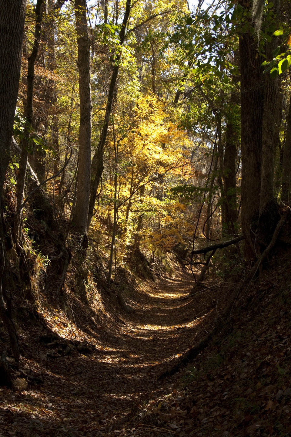 ModeratePotkopinu Section of the Natchez Trace National Scenic Trail3.4 mi · 1.8 hr · 1.4 mi awayWalk the longest remaining sunken stretch of the Old Trace
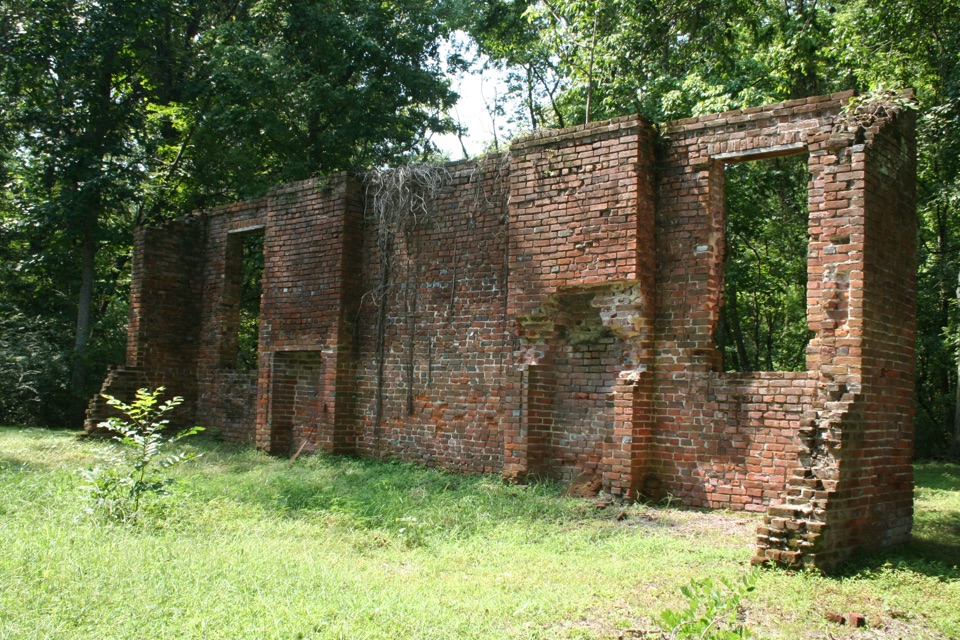 EasyElizabeth Female Academy Trail0.2 mi · 10 min · 9.9 mi awayA short paved walk to one surviving academy wall.
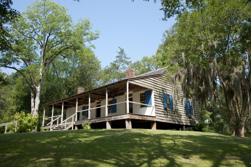 Sight · 0.1 mi awayMount Locust Historic HouseFrontier inn turned cotton plantation, with cemeteries a short walk away
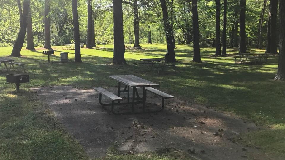 Picnic area · 1.8 mi awayColes Creek Picnic AreaShaded creekside tables and restrooms at milepost 17.5
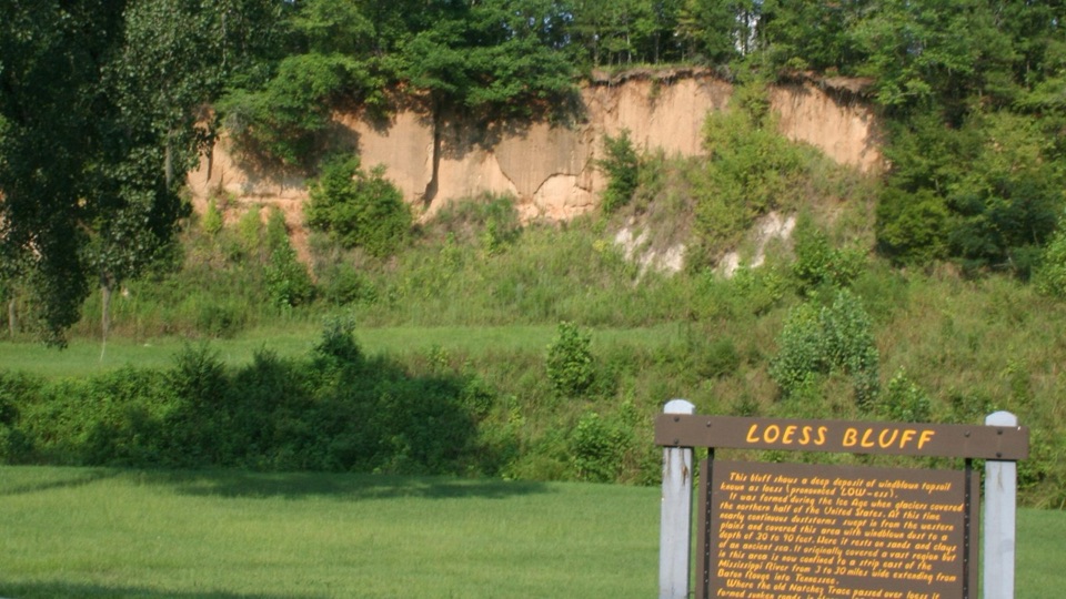 Sight · 3.1 mi awayLoess BluffExposed Ice Age dust that explains why the old Trace sank
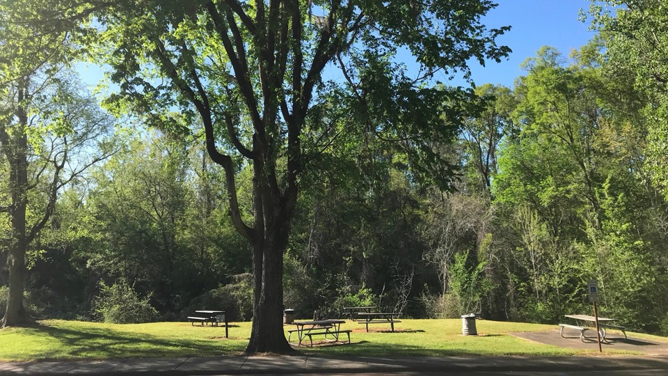 Picnic area · 3.3 mi awayTurpin Creek Picnic AreaGrassy roadside picnic clearing with tables, grills, and creek sounds
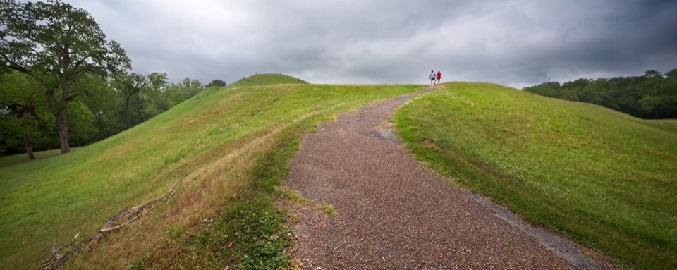 Sight · 4.9 mi awayEmerald MoundClimb the second-largest Mississippian ceremonial mound in the U.S.
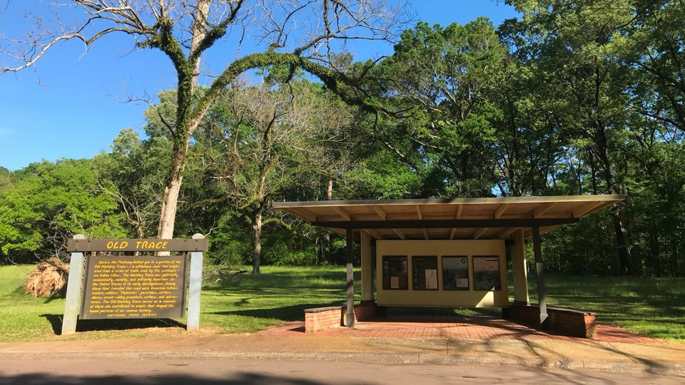 Sight · 6.4 mi awayOld Trace Exhibit ShelterRead the Old Trace story, then look across at the road itself
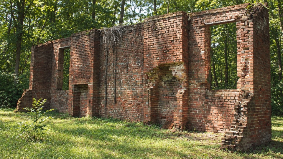 Sight · 9.9 mi awayElizabeth Female AcademyWooded brick ruins of Mississippi's first chartered women's college
Parkwolf’s Natchez Trace ranking

The audio tour guide for the drive, plus offline maps, trails, and wildlife heatmaps for when the signal drops.