West Florida Boundary in Natchez Trace Parkway

Historic marker · Natchez Trace Parkway

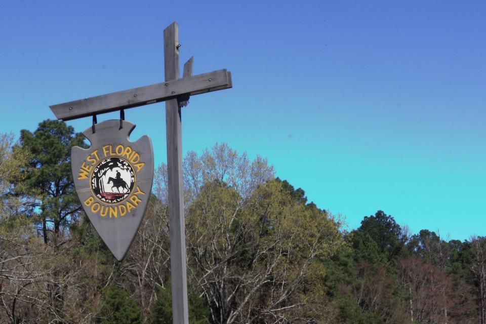
West Florida Boundary

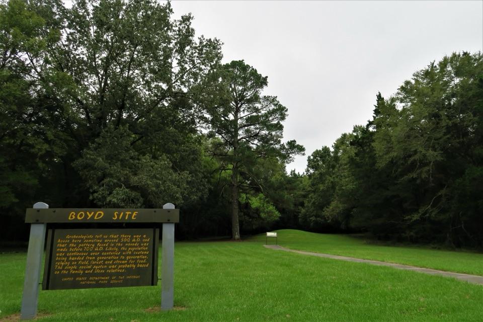
This marker traces the line shifted into Choctaw and Creek lands.

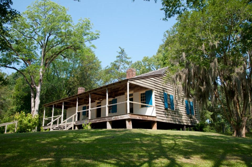
Photo: NPS Photo/ Sherwood Photography

Type
Historic marker
Nearest trail
2.2 mi
Audio stories
2 nearby
  • Exhibit
  • Parking
  • Trailhead
  • Picnic tables

Hear the audio tour

The Lake with a City to Supply
Download Parkwolf on the App StoreGet Parkwolf on Google Play

4.7 from 8,600+ ratings

Overview

About West Florida Boundary

Why stop

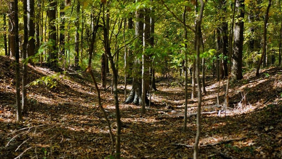
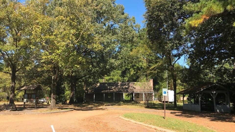
  • A short nature loop and historical exhibit are right at the pull-off.

Heads up

  • The full Yockanookany section is a 26-mile one-way hike.

Map

Where it is

Loading the Natchez Trace map
Full map
Historic markerWest Florida Boundary32.46601, -90.05787
Keep this map with you offline in the Parkwolf app

Plan your stop

Before you go

3 active Natchez Trace alerts

  • ClosureParkway closure at MP 159.5–165The Parkway is closed from State Highway 19/35 (MP 159.5) to State Highway 12 (MP 165) for road reconstruction; use the seven-mile detour.Official details
  • ClosureDouble Arch Bridge closure and detourThe Parkway is closed to through traffic at MP 437–440 for Double Arch Bridge construction; follow the signed detour.Official details

See all 3 alerts
A park ranger sits on a dash-mounted phone, talking, as Parkwolf’s Tour Guide plays “Army Cutworm Moths: A Grizzly Bear Buffet” on Grand Loop Road below Dunraven Pass in Yellowstone
Parkwolf Tour GuideThe highest, rockiest slopes around here are a summer buffet for grizzly bears.

Natchez Trace Tour Guide

Your drive to West Florida Boundary, narrated.

Parkwolf is a GPS audio tour guide for Natchez Trace Parkway. As you drive, it chimes in with what’s ahead: hidden gems, upcoming stops, history, geology, and wildlife, right through your car’s speakers.

See the Natchez Trace audio tour

Recorded for this area

The Lake with a City to Supply
0:00 / 0:27
“Ross Barnett Reservoir is the Pearl River held behind a dam. Construction began in 1960, mainly to give Jackson a dependable source of drinking water. Recreation was part of the plan too.”

Plays on the road 0.6 mi from West Florida Boundary in the Parkwolf Natchez Trace Tour Guide.

More stories near here in the app

  • Boyd Site's Layered History
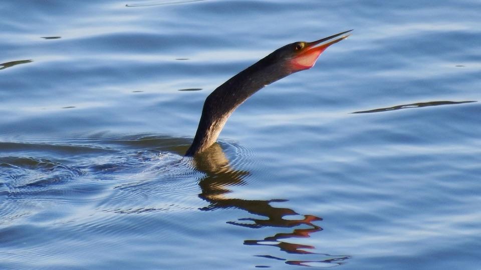
  • The Bird Drying Its Wings
  • Reservoir Overlook
  • Brashears Stand and Bill Waller Craft Center
  • 272 audio storiesacross Natchez Trace’s roads, triggered by GPS as you drive
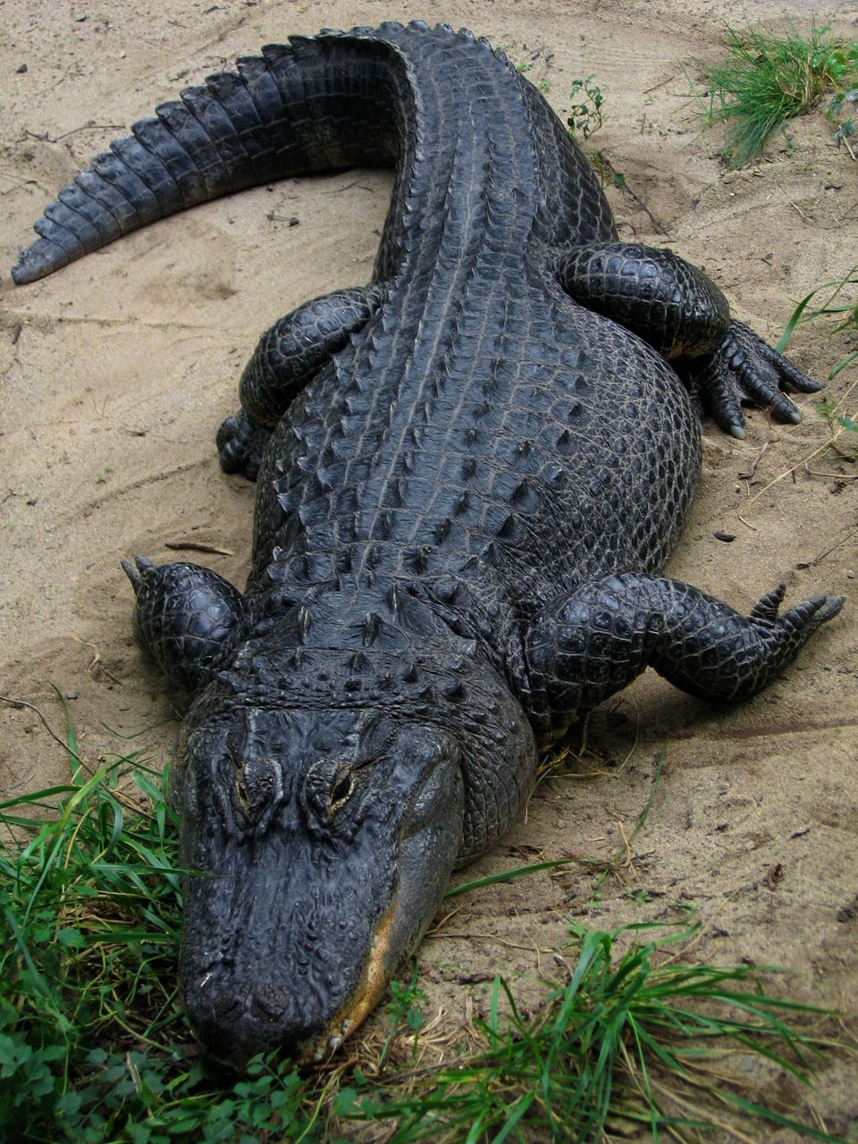
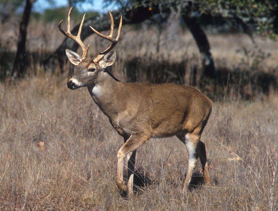
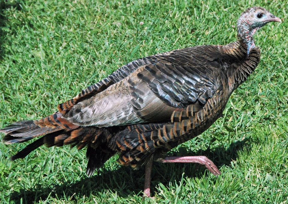
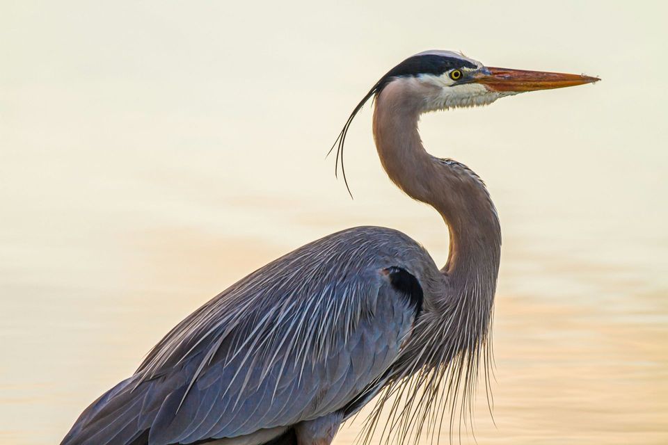
  • Wildlife heatmapsfor American Alligator, White-tailed Deer, Wild Turkey, and 9 more
  • Works offlinemaps, 26 trails, 79 places, and audio download before you lose signal
  • CarPlay readysimple controls built for the drive
★★★★★
“Fantastic app with many points of information… It’s great to just turn on while you’re driving and it gives you an audio tour of the national Park. We love it!!!!”
JMJamesApp Store review
Download Parkwolf on the App StoreGet Parkwolf on Google Play

4.7 from 8,600+ ratings

Guide

More about West Florida Boundary

A roadside history stopWest Florida Boundary is a historical marker at Natchez Trace Parkway milepost 107.

West Florida Boundary is a historical marker at Natchez Trace Parkway milepost 107.9, and the southern trailhead of the Yockanookany section. Stop for the boundary story or take the short nature loop; there’s auto parking and an interpretive exhibit here.

The line moved northIn 1764, this was the northern boundary of British West Florida, on a line from the Yazoo and…

In 1764, this was the northern boundary of British West Florida, on a line from the Yazoo and Mississippi rivers’ confluence east to the Chattahoochee. The marker explains that Britain first set the boundary at 31° north, then moved it to 32°28′ after deciding settlement was too restricted. That shift pushed the line into Choctaw and Creek lands, giving this small roadside marker a much larger story.

If you want a longer walkThe Yockanookany section runs north from here to milepost 130.9, a 26-mile one-way hike.

The Yockanookany section runs north from here to milepost 130.9, a 26-mile one-way hike. Along the way are stretches by Ross R. Barnett Reservoir, forest, seasonal streams and open pastureland. The trail is uneven and can get muddy after rain; it’s open year-round from dawn to dusk, and dogs are allowed on a six-foot leash. Some access points require crossing the Parkway, so the full section takes more planning than the short loop.

Wildlife

Wildlife in Natchez Trace

All Natchez Trace wildlife maps

Sighting maps show where each species has been reported across Natchez Trace. Wildlife moves, so no sighting is guaranteed.

Parkwolf’s Natchez Trace ranking

Top sights in Natchez Trace

All 79 places
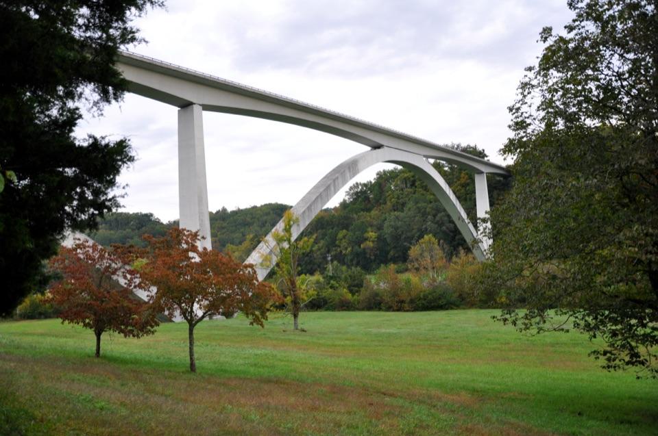
  1. 1Double Arch Bridge at Birdsong HollowSight
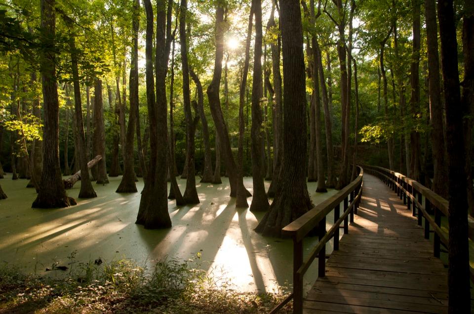
  2. 2Cypress SwampSight
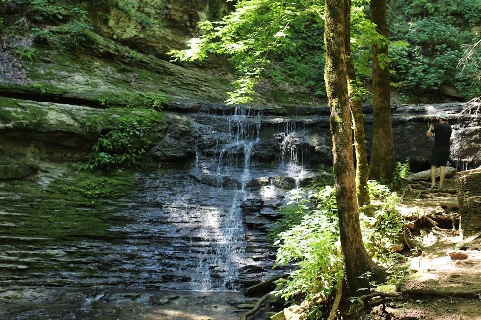
  3. 3Jackson FallsSight
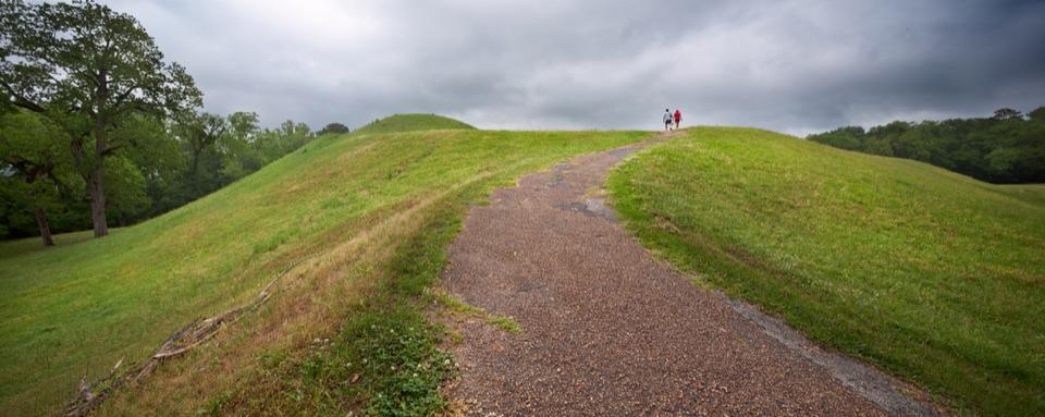
  4. 4Emerald MoundSight
  5. 5Reservoir OverlookSight
  6. 6Mount Locust Historic HouseSight

Take Parkwolf to Natchez Trace.

The audio tour guide for the drive, plus offline maps, trails, and wildlife heatmaps for when the signal drops.

4.7 from 8,600+ ratings

Download Parkwolf on the App StoreGet Parkwolf on Google Play