Chisha Foka Multi-Use Trail in Natchez Trace Parkway

Natchez Trace Parkway, MS · AL · TN

Chisha Foka Multi-Use Trail

A shaded, paved way through Choctaw homelands and the old Trace.

Length
10.5mi
Time
4hr
Elev. change
131ft
Difficulty
Moderate
  • Dogs allowed
  • High point 453 ft
  • #12 of 26 in Natchez Trace

Hear the audio tour

Reservoir Overlook

Overview

About Chisha Foka Multi-Use Trail

Why go

  • Long paved miles through protected woods
  • A sunken section of the Old Trace

Heads up

  • Point-to-point route needs a return plan
  • Road crossings and shared traffic

Map & elevation

The route

Loading the Natchez Trace map
Full map
Elevation322–453 ft
TrailheadReservoir Overlook (Milepost 105.6)32.43728, -90.07386
Keep this map with you offline in the Parkwolf app

Plan your hike

Before you go

Parking

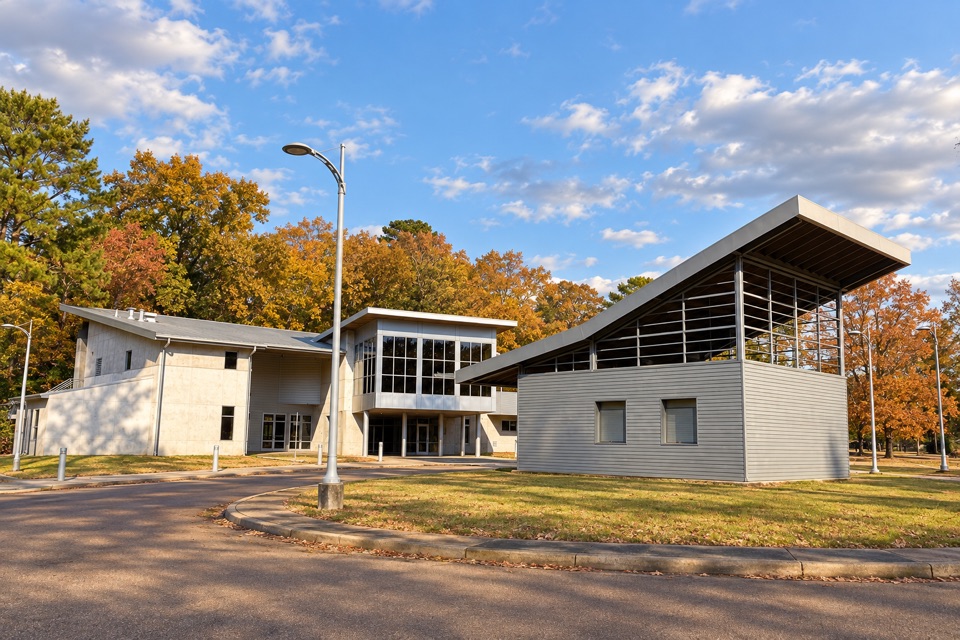
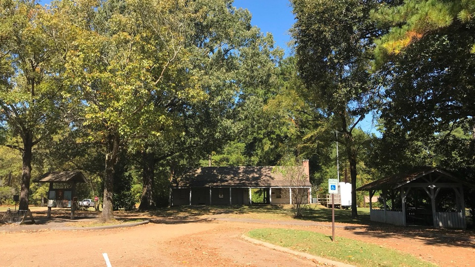
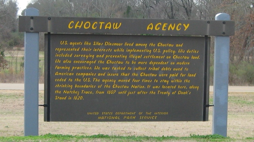
Start at Reservoir Overlook (MP 105.6), which has parking at the north end. The southern terminus at MP 95.8 has no Parkway access; the nearest reported lot is Choctaw Agency at MP 100.7, nearly five miles north. Arrange your return before walking point to point.

Safety

Use care at road crossings and where the trail runs beside the Parkway shoulder. Watch for fire ants, poison ivy and venomous snakes; the trail is shared with cyclists and passes near private property.

4 active Natchez Trace alerts

  • ClosureParkway Information Cabin closedMentions this trailThe Parkway Information Cabin in Ridgeland, Mississippi (MP 102.4), is closed indefinitely. - Visitors may still use the parking lot to access the Chisha Foka multi-use trail.Official details
  • ClosureParkway sections closed for bridge and road constructionTwo Natchez Trace Parkway sections are closed to through traffic; follow the signed detours.Official details
See all 4 alerts
A park ranger sits on a dash-mounted phone, talking, as Parkwolf’s Tour Guide plays “Army Cutworm Moths: A Grizzly Bear Buffet” on Grand Loop Road below Dunraven Pass in Yellowstone
Parkwolf Tour GuideThe highest, rockiest slopes around here are a summer buffet for grizzly bears.

Natchez Trace Tour Guide

Your drive to Chisha Foka Multi-Use Trail, narrated.

Parkwolf is a GPS audio tour guide for Natchez Trace Parkway. As you drive, it chimes in with what’s ahead: hidden gems, upcoming stops, history, geology, and wildlife, right through your car’s speakers.

Recorded for this trailhead

Reservoir Overlook
0:00 / 0:30
“You're approaching Reservoir Overlook, a quick chance to see Ross Barnett Reservoir spread out below the Parkway. This 33,000-acre reservoir on the Pearl River stretches alongside the road for about eight miles.”

Plays as you drive up to this trailhead in the Parkwolf Natchez Trace Tour Guide.

More stories near here in the app

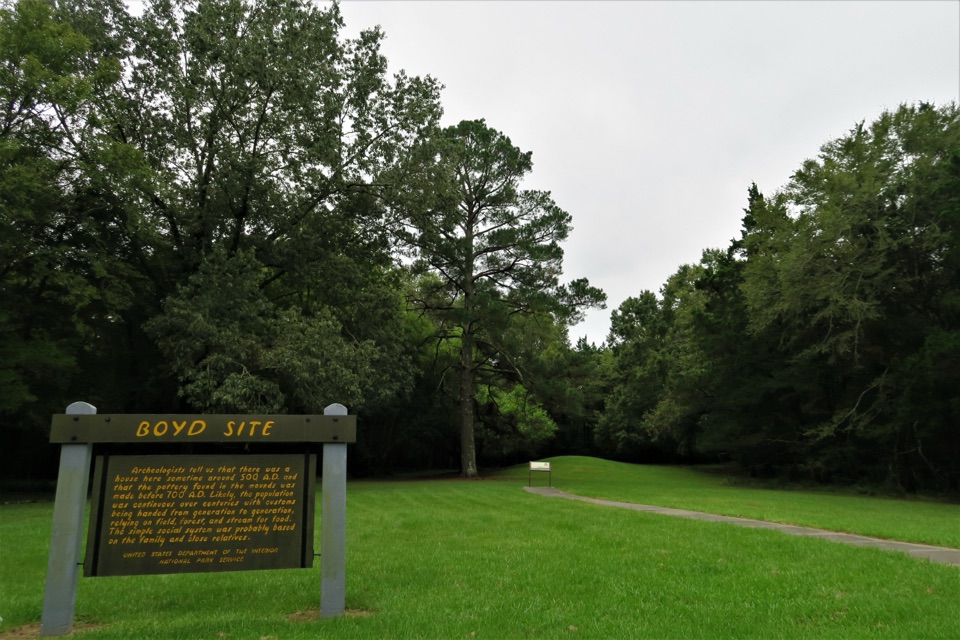
  • Boyd Site's Layered History
  • Brashears Stand and Bill Waller Craft Center
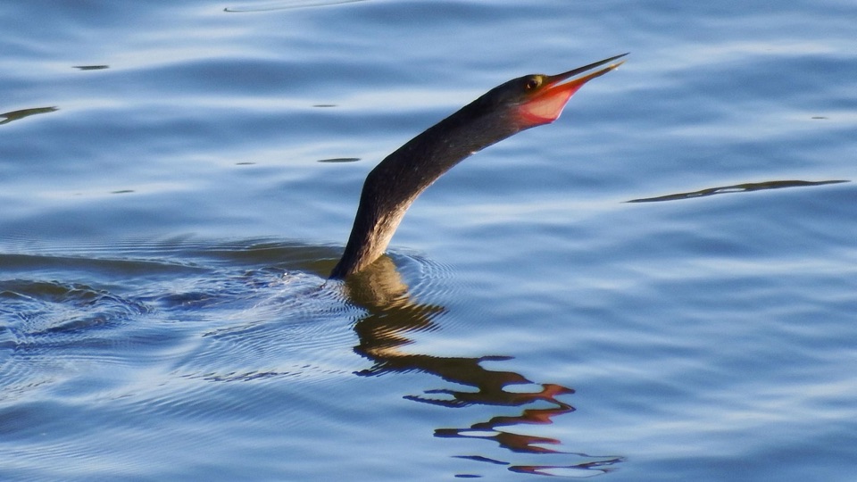
  • The Bird with Folding Toes
  • The Lake with a City to Supply
  • 272 audio storiesacross Natchez Trace’s roads, triggered by GPS as you drive
  • Wildlife heatmapsfor American Alligator, White-tailed Deer, Wild Turkey, and 9 more
  • Works offlinemaps, 26 trails, 62 places, and audio download before you lose signal
  • CarPlay readysimple controls built for the drive
★★★★★
“Fantastic app with many points of information… It’s great to just turn on while you’re driving and it gives you an audio tour of the national Park. We love it!!!!”
JMJamesApp Store review
Download Parkwolf on the App StoreGet Parkwolf on Google Play

4.7 from 8,600+ ratings

Trail guide

Hiking Chisha Foka Multi-Use Trail

The routeThis is a 10.5-mile paved point-to-point path, running from Reservoir Overlook at milepost 105.

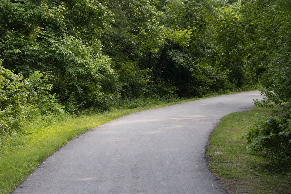
This is a 10.5-mile paved point-to-point path, running from Reservoir Overlook at milepost 105.6 southwest to milepost 95.8. It is shared by walkers, joggers and cyclists and winds along the Parkway through the Ridgeland-Jackson metro area. The park describes it as nearly 10 miles; the mapped tread measures about 10.5. Chisha Foka is Choctaw for “among the post oaks,” the name of a Choctaw town that stood where Jackson is today.

Woods, crossings and the old TraceThe asphalt path rolls gently and bends through hardwood and pine woods, with the city…

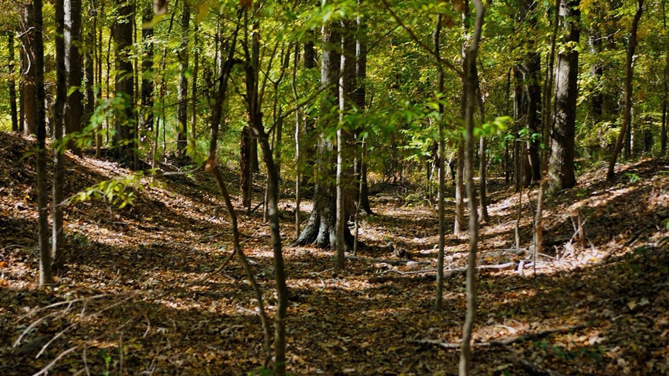
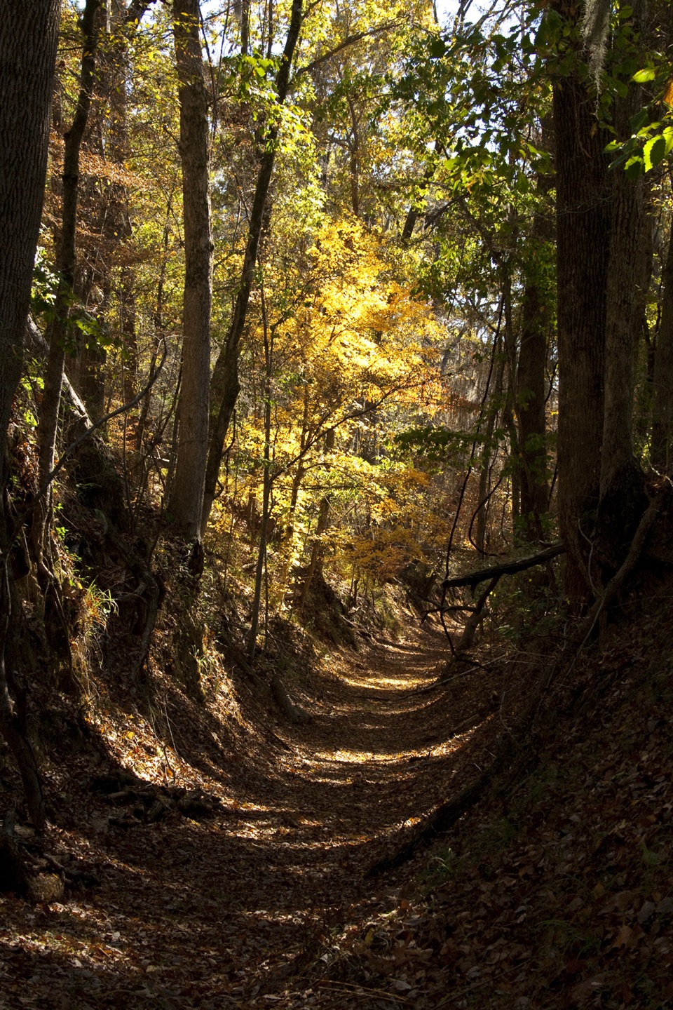
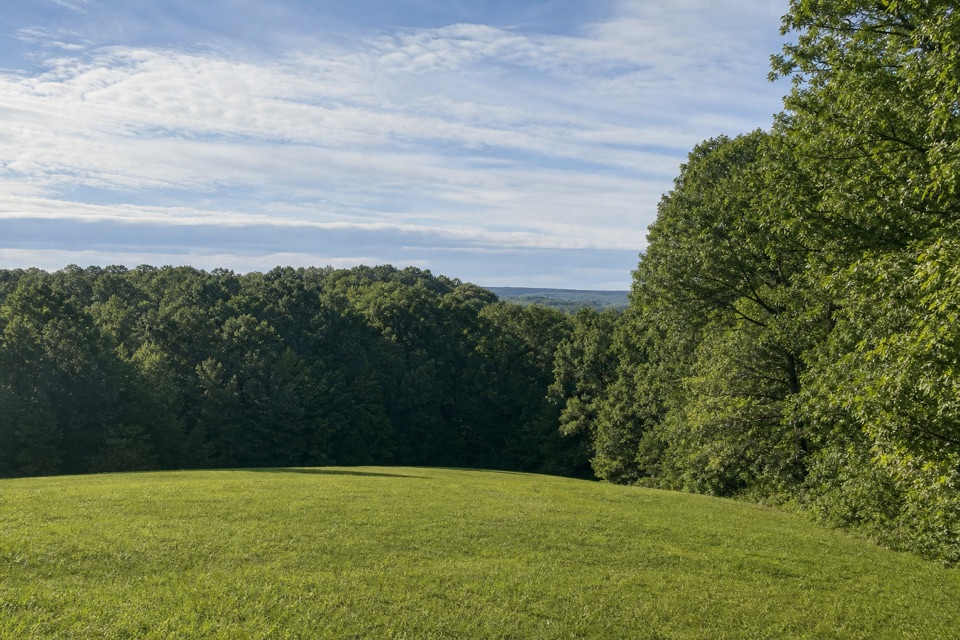
The asphalt path rolls gently and bends through hardwood and pine woods, with the city sometimes close by. This isn't isolated backcountry: the trail crosses roads and at times runs beside the Parkway shoulder. At milepost 104.5, a short side visit reaches a sunken section of the original Natchez Trace, worn below the surrounding ground by thousands of years of foot traffic. Other stretches pass near the Ridgeland water tower and railroad; the I-55 crossing uses a divided pedestrian and bicycle lane on the Parkway bridge. The broad reservoir view is at the northern end, beside Reservoir Overlook.

Make the distance workAllow about four hours on foot one way for the full length.

Allow about four hours on foot one way for the full length. The grades are mild, but ten-plus paved miles is still a long outing. Reservoir Overlook at MP 105.6 has parking and makes the clearest start. The southern end at MP 95.8 is marked “No Access to Parkway”; the nearest reported parking is Choctaw Agency at MP 100.7, nearly five miles north. Arrange a pickup or another return plan before walking point to point. For a shorter outing, start at a signed access along the way and turn back. The trail is open daily from sunrise to sunset.

Shared path and practicalsKeep right and pass on the left; cyclists should yield to pedestrians and signal when passing.

Keep right and pass on the left; cyclists should yield to pedestrians and signal when passing. Watch road crossings and stretches beside the Parkway shoulder, and respect private property along the route. The park also warns about fire ants, poison ivy and venomous snakes. Dogs are allowed on a leash no longer than six feet. The paved surface and gentle grades make for an easy roll or walk, and the park lists it among its wheelchair-accessible options, though it doesn't provide an accessibility breakdown by mile. Rice Road's trailhead pavilion has a drinking fountain and bike-repair station; Shucker's Oyster Bar is nearby but off the route.

Wildlife

Wildlife in Natchez Trace

All Natchez Trace wildlife maps

Sighting maps show where each species has been reported across Natchez Trace. Wildlife moves, so no sighting is guaranteed.

Parkwolf’s Natchez Trace ranking

Top-rated trails in Natchez Trace

All 26 trails
  1. 1Cypress Swamp WalkEasy · 0.4 mi
  2. 2Jackson Falls TrailModerate · 0.4 mi
  3. 3Fall Hollow Waterfall TrailEasy · 0.2 mi
  4. 4Potkopinu Section of the Natchez Trace National Scenic TrailModerate · 3.4 mi
  5. 5Devil's Backbone TrailModerate · 3.1 mi
  6. 6Little Mountain TrailModerate · 1.7 mi

Take Parkwolf to Natchez Trace.

The audio tour guide for the drive, plus offline maps, trails, and wildlife heatmaps for when the signal drops.

4.7 from 8,600+ ratings

Download Parkwolf on the App StoreGet Parkwolf on Google Play