Braeburn Falls in Nelson Lakes National Park

Sight · Nelson Lakes National Park

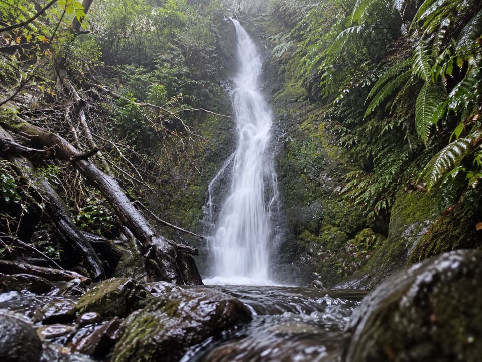
Braeburn Falls

Take the steep forest spur to a mossy waterfall.

Type
Sight
Nearest trail
1.5 km
Audio stories
2 nearby
  • Trailhead
  • Parking
  • Scenic viewpoint

Hear the audio tour

Braeburn Walk and Falls

Overview

About Braeburn Falls

Why stop

  • Mossy falls framed by bird-rich beech and podocarp forest.

Heads up

  • Steep zigzags to the upper waterfall viewpoint.

Map

Where it is

Loading the Nelson Lakes map
Full map
SightBraeburn Falls-41.80937, 172.59710
Keep this map with you offline in the Parkwolf app

Plan your stop

Before you go

Getting there

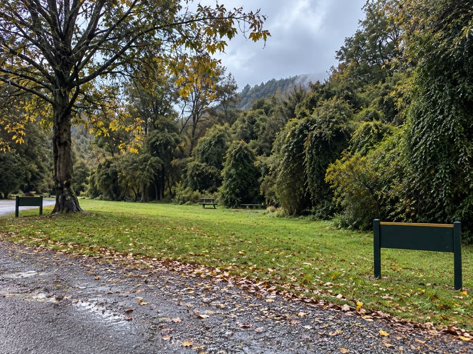
The walk starts 400 m west of Gowan River Bridge along Braeburn Road. Lake Rotoroa Village is about a 40-minute drive from St Arnaud via Gowan Valley Road. The signposted parking area is reached by a gravel stretch. Dogs are not allowed in Nelson Lakes National Park. Wasps are especially common from December through April, so visitors with serious sting allergies should carry antihistamine.

3 active Nelson Lakes alerts

  • ClosureRotoroa Route permanently closedThe Rotoroa Route is permanently closed along the eastern side of Lake Rotoroa between Rotoroa village and Sabine Hut.Official details
  • CautionUnbridged stream between Sabine and D’Urville hutsThe bridge on the track between Sabine Hut and D’Urville Hut has been removed; trampers must cross an unbridged stream at GR E1571366 N5359831.Official details
See all 3 alerts
A park ranger sits on a dash-mounted phone, talking, as Parkwolf’s Tour Guide plays “Army Cutworm Moths: A Grizzly Bear Buffet” on Grand Loop Road below Dunraven Pass in Yellowstone
Parkwolf Tour GuideThe highest, rockiest slopes around here are a summer buffet for grizzly bears.

Nelson Lakes Tour Guide

Your drive to Braeburn Falls, narrated.

Parkwolf is a GPS audio tour guide for Nelson Lakes National Park. As you drive, it chimes in with what’s ahead: hidden gems, upcoming stops, history, geology, and wildlife, right through your car’s speakers.

Recorded for this place

Braeburn Walk and Falls
0:00 / 0:22
“You're approaching the Braeburn Walk access, for a forest walk to a mossy waterfall. Allow about two hours for the full circuit, including a steep, sometimes slippery climb on the waterfall spur.”

Plays as you drive up to Braeburn Falls in the Parkwolf Nelson Lakes Tour Guide.

More stories near here in the app

  • Lake Rotoroa Foreshore
  • Rotoiti's Mainland Island
  • An Eel's Ocean Journey
  • Listen for the Whio
  • 26 audio storiesacross Nelson Lakes’s roads, triggered by GPS as you drive
  • Wildlife heatmapsfor New Zealand Falcon, Weka, Kererū, and 13 more
  • Works offlinemaps, 57 trails, 47 places, and audio download before you lose signal
  • CarPlay readysimple controls built for the drive
★★★★★
“Fantastic app with many points of information… It’s great to just turn on while you’re driving and it gives you an audio tour of the national Park. We love it!!!!”
JMJamesApp Store review
Download Parkwolf on the App StoreGet Parkwolf on Google Play

4.7 from 8,600+ ratings

Guide

More about Braeburn Falls

The fallsBraeburn Falls is a mossy waterfall tucked into the beech and podocarp forest near Lake Rotoroa.

Braeburn Falls is a mossy waterfall tucked into the beech and podocarp forest near Lake Rotoroa. It lies at the end of the 2.5 km Braeburn Walk loop, which takes about two hours and is easy to intermediate overall. The main track is gentle at first, then zigzags steeply up a side track to the falls.

Use the upper viewpoint for the waterfall and its forest setting; the slope down toward the basin is steep, so keep to the viewpoint. For a photograph, include the mossy rock and ferns around the white water rather than framing only the cascade.

Forest and historyThe opening section follows a remnant road from 1950s hydro-electric investigations and passes…

The opening section follows a remnant road from 1950s hydro-electric investigations and passes a grove of distinctive fuchsia trees. Beyond it, the track climbs through beech and tall podocarp forest rich in bird life. Forest-covered moraine walls and scattered erratic boulders along the climb record the area's glacial past.

Wildlife

Wildlife in Nelson Lakes

All Nelson Lakes wildlife maps

Sighting maps show where each species has been reported across Nelson Lakes. Wildlife moves, so no sighting is guaranteed.

Parkwolf’s Nelson Lakes ranking

Top sights in Nelson Lakes

All 47 places
  1. 1Lake Rotoiti – Kerr Bay and JettySight
  2. 2Rotomairewhenua / Blue LakeSight
  3. 3Lake Rotoroa – Foreshore and JettySight
  4. 4Rotomaninitua / Lake AngelusSight
  5. 5Rotopōhueroa / Lake ConstanceSight
  6. 6Whisky FallsSight

Take Parkwolf to Nelson Lakes.

The audio tour guide for the drive, plus offline maps, trails, and wildlife heatmaps for when the signal drops.

4.7 from 8,600+ ratings

Download Parkwolf on the App StoreGet Parkwolf on Google Play