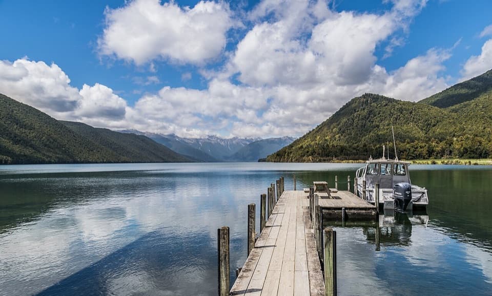
Whisky Falls in Nelson Lakes National Park

#6 of 15 sights in Nelson Lakes

Sight · Nelson Lakes National Park

Whisky Falls

A nearly 40 m waterfall tucked into a glacial hanging valley.

Photo: CC BY 4.0
Type
Sight
Nearest trail
2.6 km
  • Scenic viewpoint

Hear the audio tour

Lakeside Track to Whisky Falls

Overview

About Whisky Falls

Why stop

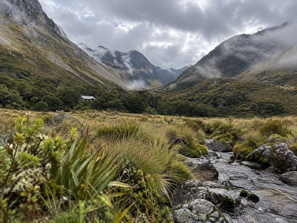
  • The mānuka, kānuka and beech forest make the approach part of the visit.

Heads up

  • The usual visit is a 10.8 km return walk with an unbridged stream crossing.

Map

Where it is

Loading the Nelson Lakes map
Full map
SightWhisky Falls-41.84817, 172.82746
Keep this map with you offline in the Parkwolf app

Plan your stop

Before you go

Getting there

From St Arnaud, go west on SH 63 for 2 km, then turn onto Mount Robert Road and continue 2.8 km to the start of Lakeside Track. The same-track return is 10.8 km and rated easy to intermediate. A boat to a nearby jetty can shorten the walk to roughly 15 minutes, but confirm the landing and current service before planning around that shortcut.

3 active Nelson Lakes alerts

  • ClosureRotoroa Route permanently closedThe Rotoroa Route is permanently closed along the eastern side of Lake Rotoroa between Rotoroa village and Sabine Hut.Official details
  • CautionUnbridged stream between Sabine and D’Urville hutsThe bridge on the track between Sabine Hut and D’Urville Hut has been removed; trampers must cross an unbridged stream at GR E1571366 N5359831.Official details
See all 3 alerts
A park ranger sits on a dash-mounted phone, talking, as Parkwolf’s Tour Guide plays “Army Cutworm Moths: A Grizzly Bear Buffet” on Grand Loop Road below Dunraven Pass in Yellowstone
Parkwolf Tour GuideThe highest, rockiest slopes around here are a summer buffet for grizzly bears.

Nelson Lakes Tour Guide

Your drive to Whisky Falls, narrated.

Parkwolf is a GPS audio tour guide for Nelson Lakes National Park. As you drive, it chimes in with what’s ahead: hidden gems, upcoming stops, history, geology, and wildlife, right through your car’s speakers.

Recorded for this place

Lakeside Track to Whisky Falls
0:00 / 0:26
“You're approaching Lakeside Track, the walking access to Whisky Falls.”

Plays as you drive up to Whisky Falls in the Parkwolf Nelson Lakes Tour Guide.

More stories near here in the app

  • Mount Robert: Views on Foot
  • Kerr Bay and Lake Rotoiti
  • Nelson Lakes Visitor Centre
  • Buller Bridge and Anglers Walk
  • 26 audio storiesacross Nelson Lakes’s roads, triggered by GPS as you drive
  • Wildlife heatmapsfor New Zealand Falcon, Weka, Kererū, and 13 more
  • Works offlinemaps, 57 trails, 47 places, and audio download before you lose signal
  • CarPlay readysimple controls built for the drive
★★★★★
“Fantastic app with many points of information… It’s great to just turn on while you’re driving and it gives you an audio tour of the national Park. We love it!!!!”
JMJamesApp Store review
Download Parkwolf on the App StoreGet Parkwolf on Google Play

4.7 from 8,600+ ratings

Guide

More about Whisky Falls

A 40 m waterfall in a hanging valleyWhisky Falls is a nearly 40 m cascade on the western side of Lake Rotoiti, with moss and ferns…

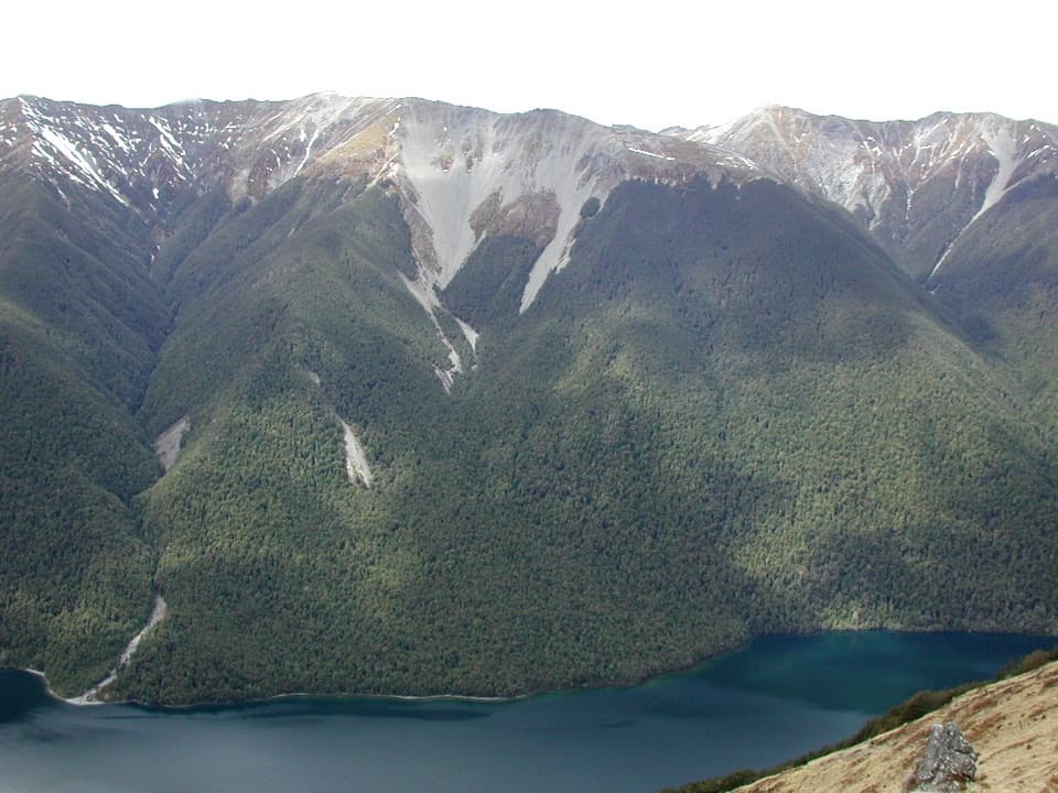
Whisky Falls is a nearly 40 m cascade on the western side of Lake Rotoiti, with moss and ferns covering the damp rock walls. I’d make the walk for the waterfall and the forest together; it’s a poor pick if you only have time for a quick roadside stop. The regular walk takes about three hours, so give it a proper half day.

Along Lakeside TrackThe route moves through mānuka and kānuka before reaching beech forest, then crosses shingle…

The route moves through mānuka and kānuka before reaching beech forest, then crosses shingle fans and an unbridged stream. A short spur leads to the falls and a rocky viewpoint. Water at the crossing can be higher after rain, and the rocks around the falls can be slippery, so take care on the final approach. Dogs aren’t allowed, and there are no rubbish facilities; pack out everything you bring.

The hanging valleyThis waterfall is a leftover from the glaciers that shaped the Travers valley.

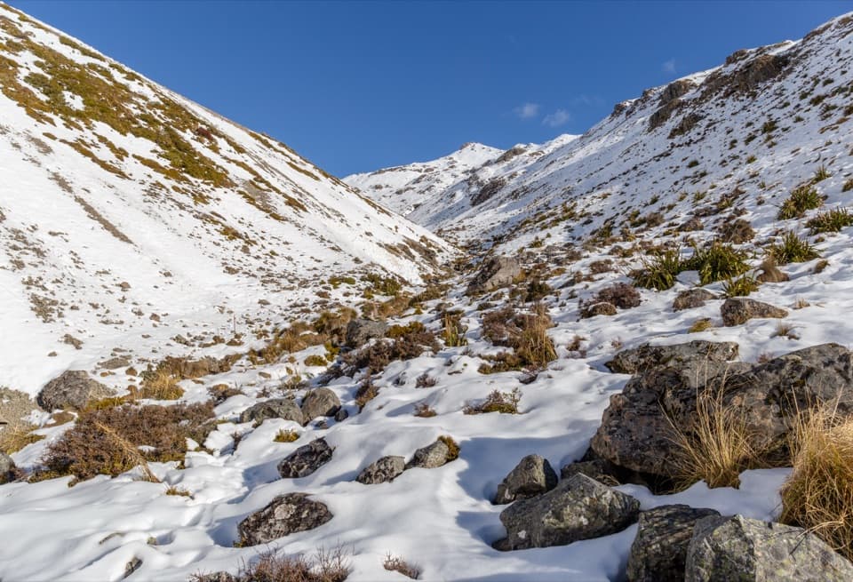
This waterfall is a leftover from the glaciers that shaped the Travers valley. Tributary glaciers once entered the main valley at a higher level; when the ice retreated, those side valleys were left hanging above it. The falls have gradually worn down as water erodes the top and deposits fans below. In 1995, a large section of rock face fell from the valley to the base of the falls.

Where the name came fromThe name recalls an illicit whisky still whose remains were found here in the 1880s.

The name recalls an illicit whisky still whose remains were found here in the 1880s. It’s a small piece of local history attached to a much older landscape.

A good frameFrom the rocky viewpoint, keep the narrow white drop in frame with the green, fern- and…

From the rocky viewpoint, keep the narrow white drop in frame with the green, fern- and moss-lined cliff around it. That wider view gives the falls a sense of height and shows the forest setting.

Wildlife

Wildlife in Nelson Lakes

All Nelson Lakes wildlife maps

Sighting maps show where each species has been reported across Nelson Lakes. Wildlife moves, so no sighting is guaranteed.

Keep exploring

Near Whisky Falls

See it all on the map

Trails nearby

More stops nearby

Parkwolf’s Nelson Lakes ranking

Top sights in Nelson Lakes

All 47 places
  1. 1Lake Rotoiti – Kerr Bay and JettySight
  2. 2Rotomairewhenua / Blue LakeSight
  3. 3Lake Rotoroa – Foreshore and JettySight
  4. 4Rotomaninitua / Lake AngelusSight
  5. 5Rotopōhueroa / Lake ConstanceSight
  6. 7Parachute RocksSight

Take Parkwolf to Nelson Lakes.

The audio tour guide for the drive, plus offline maps, trails, and wildlife heatmaps for when the signal drops.

4.7 from 8,600+ ratings

Download Parkwolf on the App StoreGet Parkwolf on Google Play