Parking
Use the marked Braeburn Walk access on Braeburn Road, about 400 m west of Gowan River Bridge. The start is a small roadside parking area; it is separate from the Lake Rotoroa Nature Walk car park.
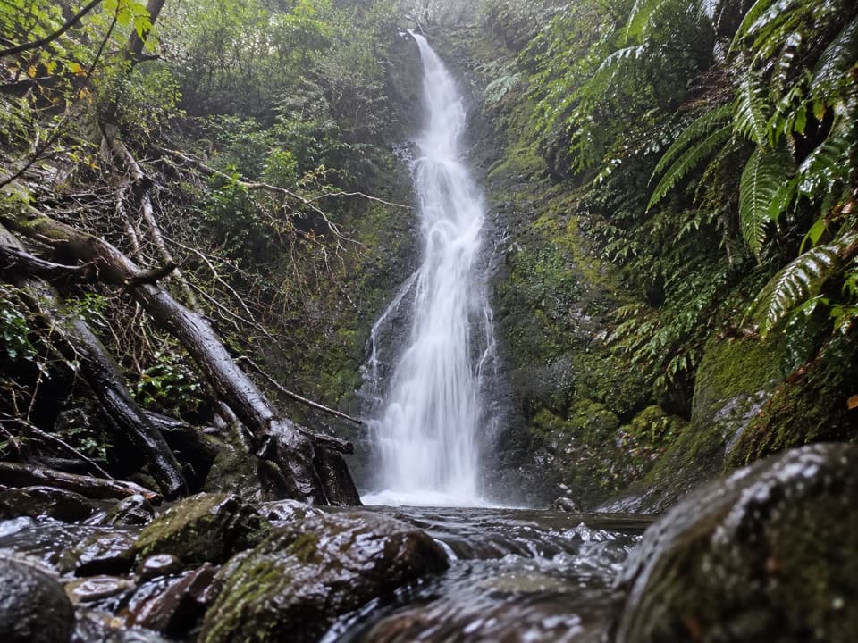
Nelson Lakes National Park, TM
Mossy falls at the end of an old forest road.
Overview
Map & elevation
Plan your hike

The highest, rockiest slopes around here are a summer buffet for grizzly bears.
Nelson Lakes Tour Guide
Parkwolf is a GPS audio tour guide for Nelson Lakes National Park. As you drive, it chimes in with what’s ahead: hidden gems, upcoming stops, history, geology, and wildlife, right through your car’s speakers.
Recorded for this trailhead
Braeburn Walk and Falls“You're approaching the Braeburn Walk access, for a forest walk to a mossy waterfall. Allow about two hours for the full circuit, including a steep, sometimes slippery climb on the waterfall spur.”
Plays as you drive up to this trailhead in the Parkwolf Nelson Lakes Tour Guide.
More stories near here in the app
“Fantastic app with many points of information… It’s great to just turn on while you’re driving and it gives you an audio tour of the national Park. We love it!!!!”


Trail guide
Braeburn Walk is a forest loop on Lake Rotoroa’s southern shore, with a spur to a mossy waterfall and a return through the bush. Following the complete route to the falls and back to the small roadside start maps to about 3.8 km (2.4 miles) and takes roughly two hours. DOC lists 2.5 km, but that figure conflicts with the connected mapped route and recorded walks near 3.7–4 km. Plan for the longer distance if you want the waterfall and full circuit. Most of the opening is easy; the waterfall spur is steep enough to make the whole walk easy to moderate.
The walk starts on a wide, nearly level track through remnant beech and podocarp forest. Its flat opening follows the remains of a road built during 1950s hydroelectric investigations. A small stream and footbridge were noted on the early stretch; farther on, the track rises gently toward the loop junction. The forest is dense with ferns and large beech, and DOC describes it as rich in bird life.
Take the steep spur to reach the mossy cascade. It zigzags uphill, and the tread can be muddy or slippery on the way down. The waterfall is visible from the track; the slope down toward the pool is steep, so stay on the path instead of scrambling to the base. The other leg loops back through ferny forest, past cascades and glacial boulders, with occasional glimpses of the lake through the trees. Keep to the track where it follows the stream.
The wide, flat start is the remnant of a road built in the 1950s for hydroelectric investigations. It gives the opening a very different feel from the narrower, steeper spur near the falls. Along the loop, mossy moraine and scattered erratic boulders are reminders of the glacial landscape beneath the forest.
The distinctive tree-fuchsia avenue is one of the walk’s best details. Kōtukutuku is New Zealand’s largest fuchsia and one of its few native deciduous trees. Its flowers open green and deepen to burgundy; the hermaphrodite flowers have unusual blue pollen. DOC notes that the species often grows along disturbed forest edges, where fewer browsing animals have stripped it out.
Use the marked Braeburn Walk access on Braeburn Road, about 400 m west of Gowan River Bridge. The start has a small roadside parking area. Don’t confuse it with the main Lake Rotoroa car park and facilities, which serve the separate Nature Walk. Dogs are not permitted. Pack water and warm layers; food and drinking water at the trailhead or on the route were not confirmed, and DOC warns that freezing conditions can occur in the park at any time of year.
Wildlife
 20 sightingsNew Zealand FalconMost seen around 9 AMSighting map
 39 sightingsWekaMost seen around 7 AMSighting map
 11 sightingsKererūMost seen around 9 AMSighting map
 55 sightingsBlack SwanMost seen around 8 AMSighting map
 23 sightingsParadise ShelduckMost seen around 6 AMSighting map
 17 sightingsTūīMost seen around 7 AMSighting map
Sighting maps show where each species has been reported across Nelson Lakes. Wildlife moves, so no sighting is guaranteed.
Keep exploring
 EasyFlower Brothers Walk0.5 km · 15 min · 0.6 km awayA short lakeshore walk through kahikatea forest to the Gowan outlet.
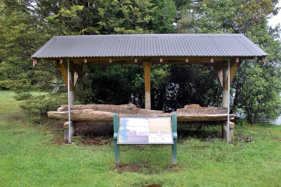 EasyLake Rotoroa Nature Walk1.3 km · 30 min · 0.7 km awayA fern-rich forest loop with quick glimpses of Lake Rotoroa
 ChallengingTiraumea Track23 km · 8.5 hr · 9.9 km awayA tough river traverse between Tutaki and D’Urville.
 ChallengingD’Urville Track to Upper D’Urville Hut25.1 km · 11 hr · 12.9 km awayA remote valley traverse linking four backcountry huts.
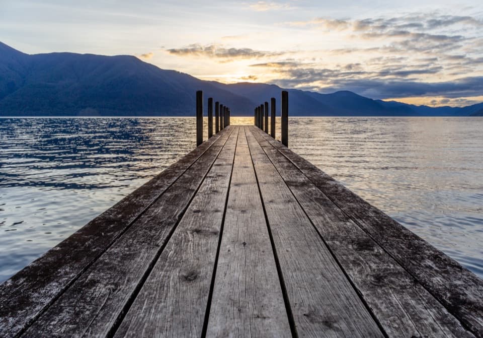 ModerateD’Urville–Sabine Track7.9 km · 2 hr · 12.9 km awayA remote 4.9-mile hut link with a serious stream crossing.
 ChallengingMount Misery Track7.8 km · 6.5 hr · 13.7 km awayA 1,100-metre climb to a hut beside a tarn.
 ChallengingAngelus Hut via Mt Cedric Track/Route6.8 km · 6 hr · 13.8 km awayAn exposed ridge links two remote huts above an alpine basin.
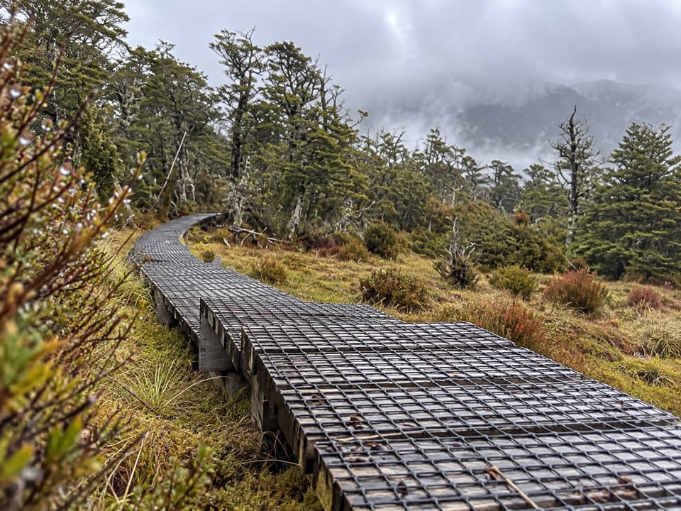 ChallengingSabine–Speargrass Track11.5 km · 5 hr · 13.8 km awayA remote hut crossing, with a boardwalk through mountain wetlands.
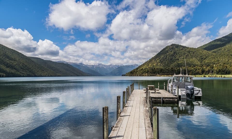 Sight · 0.8 km awayLake Rotoroa – Foreshore and JettyJetty, boat ramp and glacier-carved lake, all at the road’s end.
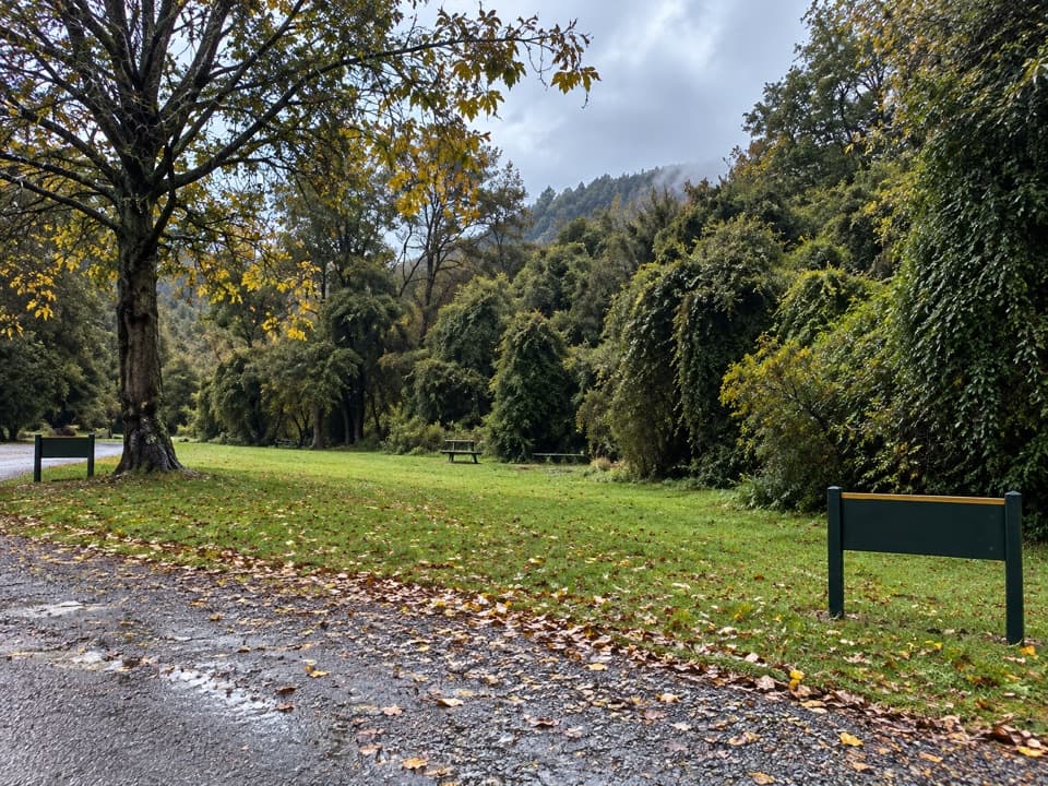 Campground · 0.8 km awayLake Rotoroa CampsiteA simple tent camp for lake days and forest walks.
 Sight · 1.5 km awayBraeburn FallsTake the steep forest spur to a mossy waterfall.
 Lodging · 12.3 km awayTiraumea HutA six-bunk hut for a remote, river-crossing backcountry trip.
 Lodging · 12.9 km awayD'Urville HutA 10-bunk lakeside hut with a jetty for boats and kayaks.
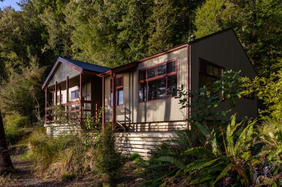 Lodging · 13.8 km awaySabine HutA warm, roomy hut with a broad view over Lake Rotoroa.
 Lodging · 14.8 km awaySpeargrass HutA booked 12-bunk hut reached through forest to a tussock clearing.
Parkwolf’s Nelson Lakes ranking

The audio tour guide for the drive, plus offline maps, trails, and wildlife heatmaps for when the signal drops.




