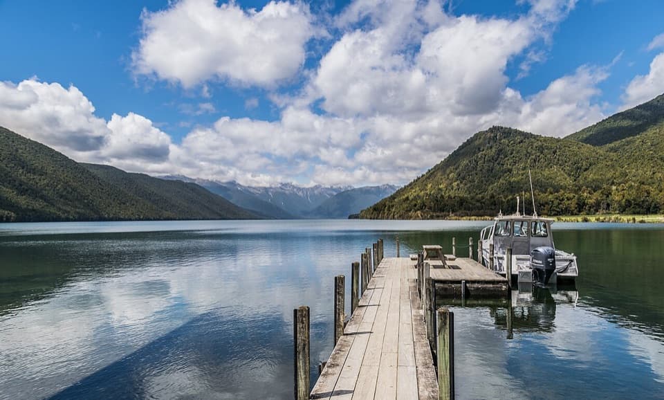
Rotopōhueroa / Lake Constance in Nelson Lakes National Park

#5 of 15 sights in Nelson Lakes

Sight · Nelson Lakes National Park

Rotopōhueroa / Lake Constance

Turquoise water beneath Waiau Pass, reached on a backcountry tramp.

Photo: Wikimedia Commons

Overview

About Rotopōhueroa / Lake Constance

Why stop

  • A vivid lake in a stark high alpine basin

Heads up

  • Requires a multi-day backcountry tramp

Map

Where it is

Loading the Nelson Lakes map
Full map
SightRotopōhueroa / Lake Constance-42.08041, 172.65851
Keep this map with you offline in the Parkwolf app

Plan your stop

Before you go

3 active Nelson Lakes alerts

  • ClosureRotoroa Route permanently closedThe Rotoroa Route is permanently closed along the eastern side of Lake Rotoroa between Rotoroa village and Sabine Hut.Official details
  • CautionUnbridged stream between Sabine and D’Urville hutsThe bridge on the track between Sabine Hut and D’Urville Hut has been removed; trampers must cross an unbridged stream at GR E1571366 N5359831.Official details

See all 3 alerts
A park ranger sits on a dash-mounted phone, talking, as Parkwolf’s Tour Guide plays “Army Cutworm Moths: A Grizzly Bear Buffet” on Grand Loop Road below Dunraven Pass in Yellowstone
Parkwolf Tour GuideThe highest, rockiest slopes around here are a summer buffet for grizzly bears.

Nelson Lakes Tour Guide

Your drive to Rotopōhueroa / Lake Constance, narrated.

Parkwolf is a GPS audio tour guide for Nelson Lakes National Park. As you drive, it chimes in with what’s ahead: hidden gems, upcoming stops, history, geology, and wildlife, right through your car’s speakers.

  • 26 audio storiesacross Nelson Lakes’s roads, triggered by GPS as you drive
  • Wildlife heatmapsfor New Zealand Falcon, Weka, Kererū, and 13 more
  • Works offlinemaps, 57 trails, 47 places, and audio download before you lose signal
  • CarPlay readysimple controls built for the drive
★★★★★
“Fantastic app with many points of information… It’s great to just turn on while you’re driving and it gives you an audio tour of the national Park. We love it!!!!”
JMJamesApp Store review
Download Parkwolf on the App StoreGet Parkwolf on Google Play

4.7 from 8,600+ ratings

Guide

More about Rotopōhueroa / Lake Constance

Why it earns the extra walkRotopōhueroa / Lake Constance is a roughly 2 km long alpine lake at about 1,340 m in the upper…

Rotopōhueroa / Lake Constance is a roughly 2 km long alpine lake at about 1,340 m in the upper Sabine Valley, beneath Waiau Pass. It fills a steep, rocky basin with striking blue water. This is a multi-day backcountry destination, not a quick stop; save it for a trip that already takes you into the Travers–Sabine country.

Plan for a real trampThe Travers–Sabine Circuit is an 80 km advanced tramp that takes about four to seven days.

The Travers–Sabine Circuit is an 80 km advanced tramp that takes about four to seven days. Blue Lake is a seven-hour return side trip from the circuit, and Lake Constance adds another roughly 3 km of walking beyond Blue Lake Hut. Blue Lake itself isn’t reachable by car or as a day walk: even the shorter water-taxi approach takes at least two backcountry days, and from St Arnaud the return trip to Blue Lake takes at least four days. Build in the extra time for Constance rather than treating it as a quick detour from the hut.

A lake with an underground linkRotopōhueroa drains underground into nearby Rotomairewhenua / Blue Lake.

Rotopōhueroa drains underground into nearby Rotomairewhenua / Blue Lake. The water travels through landslide debris, which filters out particles and helps give Blue Lake its remarkable clarity and blue-violet colour. The connection is hidden below ground, but it’s one of the most interesting things about this high basin.

Respect the waterRotopōhueroa holds deep cultural significance for Ngāti Apa ki te Rā Tō and was used for…

Rotopōhueroa holds deep cultural significance for Ngāti Apa ki te Rā Tō and was used for ceremonies involving deceased women. It and Blue Lake are tapu. Do not touch or swim in either lake, wash in it, take water from it, or put equipment into the water. On the approach, clean wet gear at the marked biosecurity stations so you don’t carry lake snow between waterways.

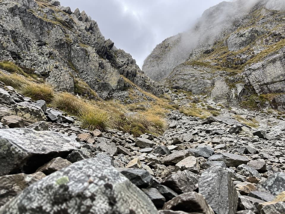
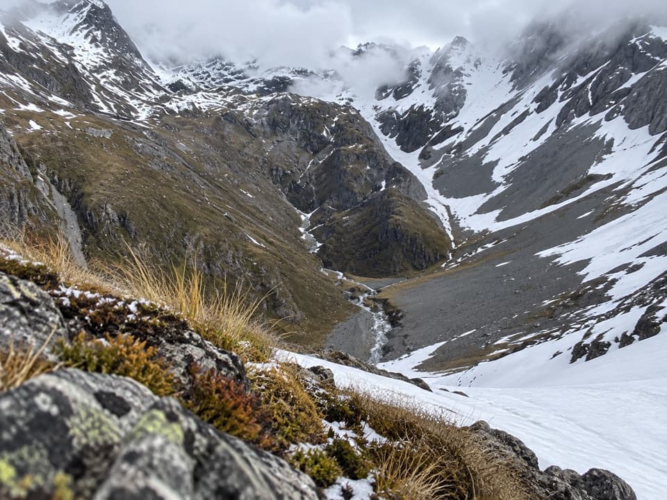
Take in the whole basinThe Waiau Pass route reaches the lake’s southwest edge, where the view opens across the water…

The Waiau Pass route reaches the lake’s southwest edge, where the view opens across the water to the steep rocky slopes and peaks behind it. Frame the lake with the surrounding basin rather than pointing straight across the water; that keeps the scale of the place in the picture. Stay on the route and out of the water.

Choose your conditionsThe Travers–Sabine route is generally most favorable from October to May, but snow can linger…

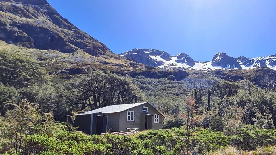
The Travers–Sabine route is generally most favorable from October to May, but snow can linger on alpine passes into late November and freezing conditions can occur at any time. Heavy rain can make some stream crossings unsafe. Blue Lake Hut is the nearest serviced hut, with 16 bunks and bookings required; the lake itself has no food service or visitor facilities. Treat this as a backcountry trip and check the route conditions before setting out.

Wildlife

Wildlife in Nelson Lakes

All Nelson Lakes wildlife maps

Sighting maps show where each species has been reported across Nelson Lakes. Wildlife moves, so no sighting is guaranteed.

Parkwolf’s Nelson Lakes ranking

Top sights in Nelson Lakes

All 47 places
  1. 1Lake Rotoiti – Kerr Bay and JettySight
  2. 2Rotomairewhenua / Blue LakeSight
  3. 3Lake Rotoroa – Foreshore and JettySight
  4. 4Rotomaninitua / Lake AngelusSight
  5. 6Whisky FallsSight
  6. 7Parachute RocksSight

Take Parkwolf to Nelson Lakes.

The audio tour guide for the drive, plus offline maps, trails, and wildlife heatmaps for when the signal drops.

4.7 from 8,600+ ratings

Download Parkwolf on the App StoreGet Parkwolf on Google Play