
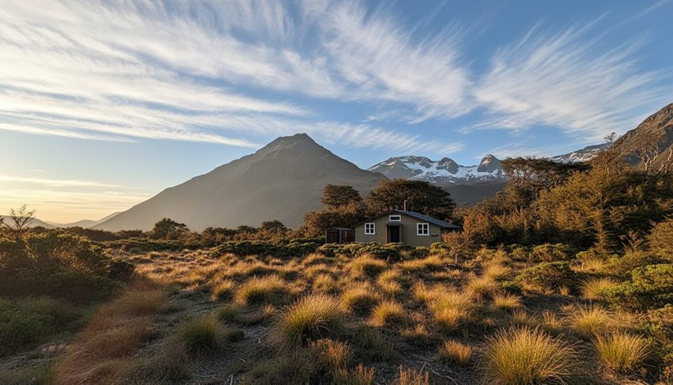
Place · 0.9 mi away
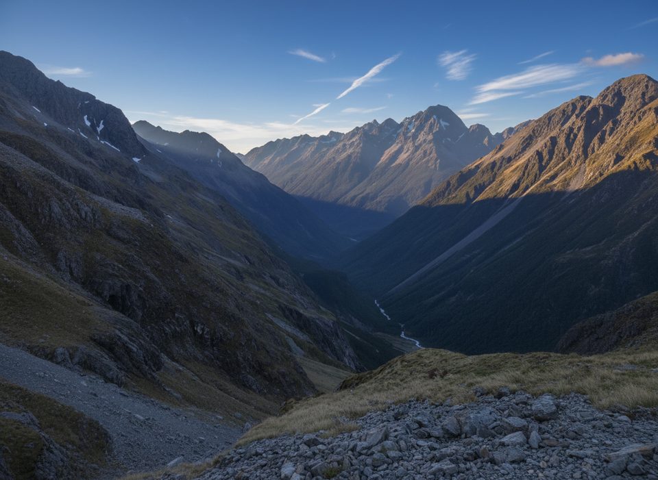
Moss Pass is a steep, exposed alpine crossing around 1780 m that connects the Sabine and D’Urville river valleys. It’s a rewarding objective for fit, experienced trampers who pick a solid weather window; outside summer, expect snow and potentially icy rock underfoot. The route feels wild and committing, with hands-on scrambling near the top and a sense of real backcountry isolation.
Most parties approach from Lake Rotoroa to Sabine Hut, then up-valley to West Sabine Hut and Blue Lake Hut before tackling the pass, continuing down to George Lyon or Morgan Hut and finishing at D’Urville Hut. Typical DOC times mentioned in recent reports: Sabine → West Sabine ~5 h, West Sabine → Blue Lake ~3–3.5 h, Blue Lake → over Moss Pass → George Lyon ~6 h, George Lyon → Morgan ~4 h, Morgan → D’Urville ~4 h. Many choose to camp at the tarns above Blue Lake to stage for an early, unhurried ascent.
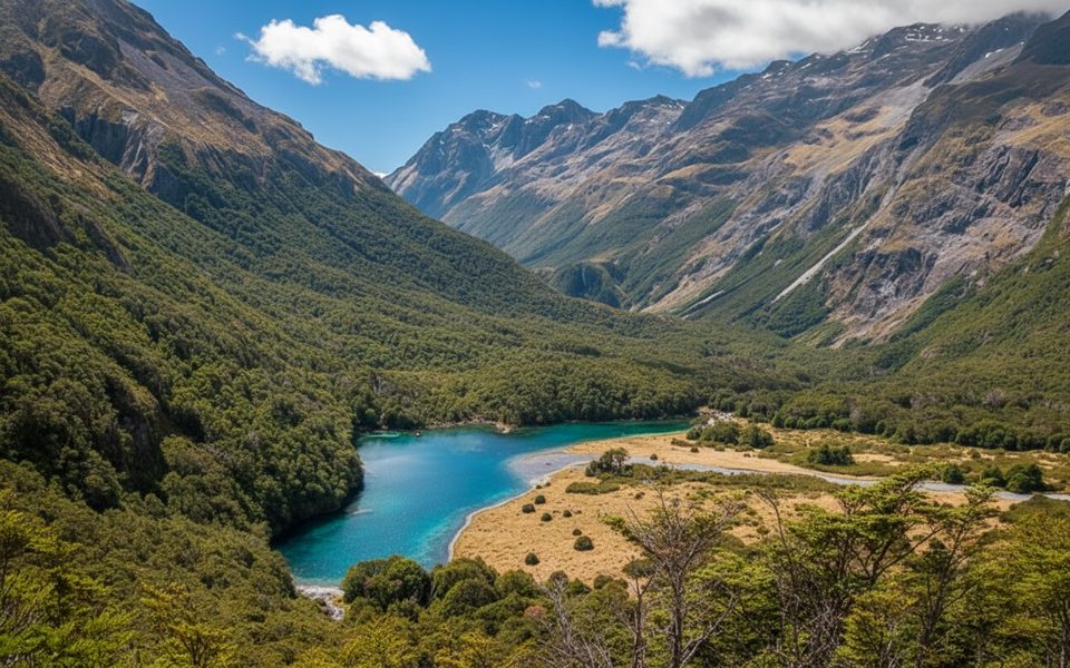
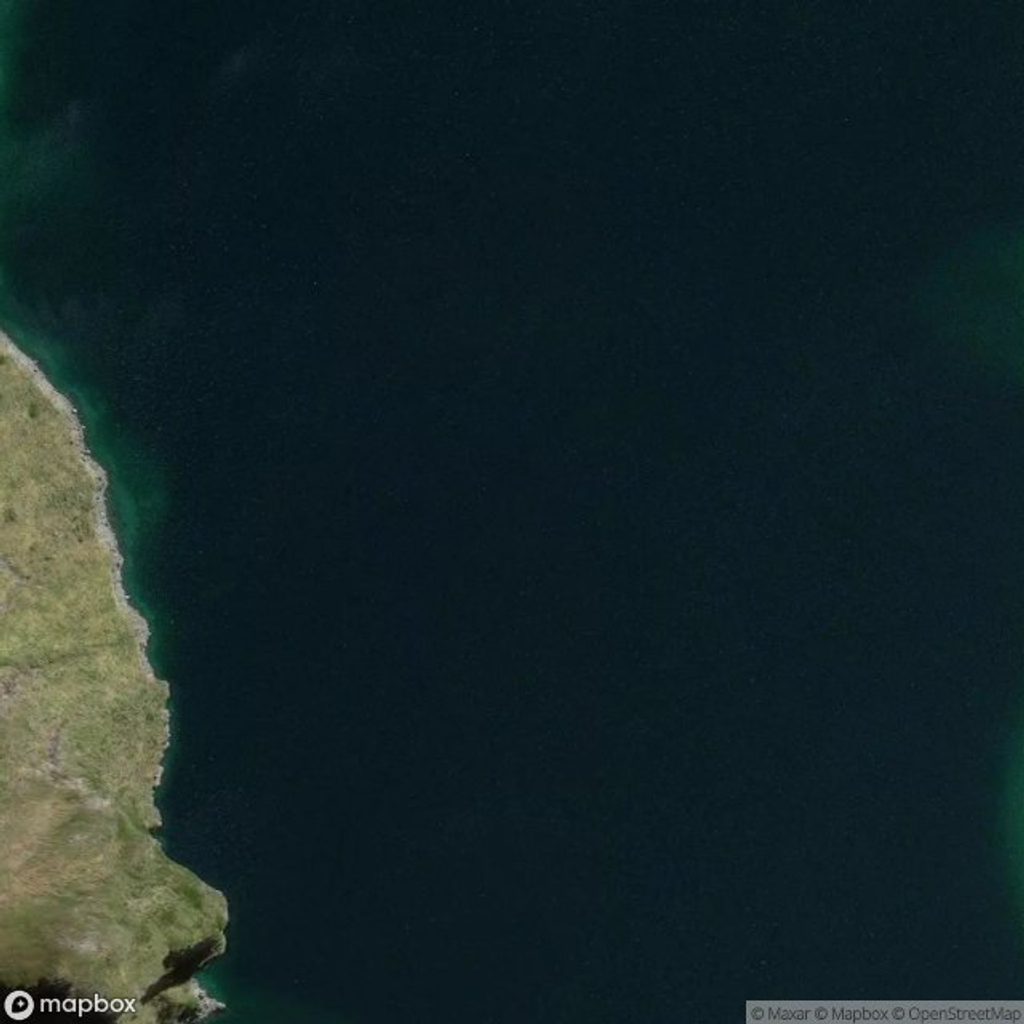
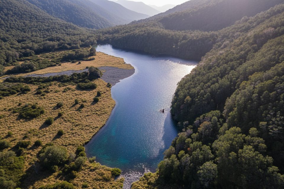
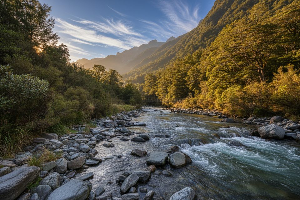
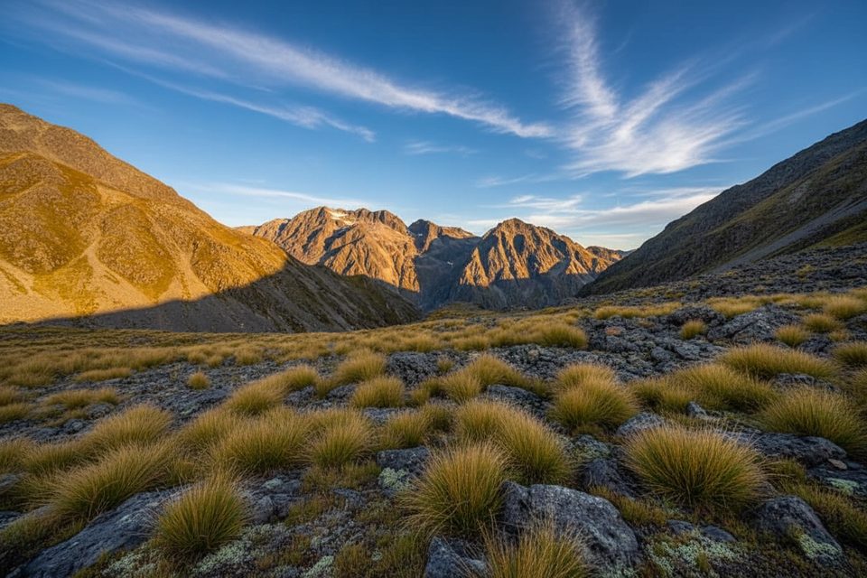
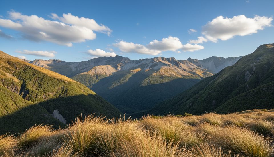
The approach threads beautiful beech forest with clear river pools and a gorge, then climbs past a waterfall pouring from the basin below the pass. Above Blue Lake, the track steepens quickly, with poles guiding you across grassy and rocky slopes to a narrow, rocky chute near the crest. On clear days you’ll get superb views back to Rotomairewhenua / Blue Lake—famed for its clarity—and out over the rugged D’Urville side. Predator control lines operate in the area, and you may hear kākā in the canopy; whio (blue duck) inhabit local rivers.
This is an alpine route best done in settled summer weather. Wet or frozen conditions make the chute and loose rock hazardous, and snow is likely outside mid‑summer. The Sabine and D’Urville hold numerous avalanche paths—assess conditions and plan accordingly. A removed bridge between Sabine Hut and D’Urville Hut can force a ~1 m‑deep ford at normal flows and may be impassable after rain. Above the bushline, water is limited—fill up before the climb. Wasps are often numerous mid–late summer, and sandflies can be intense at lake and river level. These valleys are also popular with hunters—hi‑vis is smart.
Aim for a fine, settled summer window. Start the climb early to take advantage of firmer morning conditions and a full day of light for the technical section. Summer is busy around Blue Lake and West Sabine—book huts well in advance or carry a tent in peak season.
Listen for kākā in the beech forest and watch the rivers for whio. Red deer and chamois inhabit these valleys. Predator control work is active; respect traps and lines and pack out all rubbish.
Place · 0.9 mi away
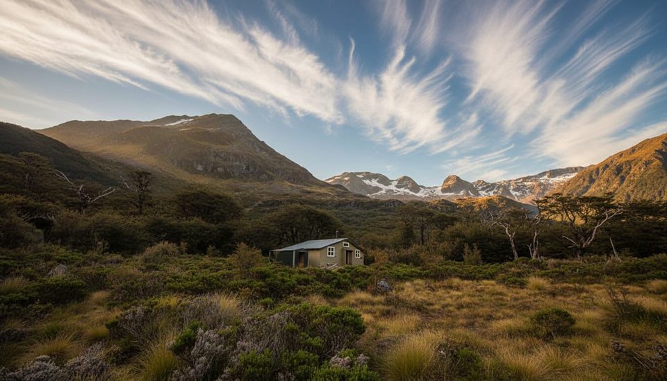
Place · 0.9 mi away
Place · 1.1 mi away
Place · 1.6 mi away
Challenging · 4.3 mi away
Moderate · 4.3 mi away
Challenging · 6.4 mi away
Challenging · 8.9 mi away

Parkwolf Tour Guide
