Parking
John Tait Hut is a backcountry start with no vehicle access. Reach it on foot from Lakehead Hut through the Travers Valley (about 14.2 km / 4½ hours); a water taxi to Lakehead can shorten the lower-lake leg.
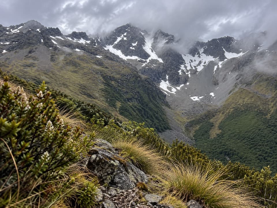
Nelson Lakes National Park, TM
A steep backcountry climb to a high hut and Mount Hopeless views.
Overview
Map & elevation
Plan your hike

The highest, rockiest slopes around here are a summer buffet for grizzly bears.
Nelson Lakes Tour Guide
Parkwolf is a GPS audio tour guide for Nelson Lakes National Park. As you drive, it chimes in with what’s ahead: hidden gems, upcoming stops, history, geology, and wildlife, right through your car’s speakers.
“Fantastic app with many points of information… It’s great to just turn on while you’re driving and it gives you an audio tour of the national Park. We love it!!!!”


Trail guide
Cupola Track is a strenuous 5.2-mile (8.4-km) out-and-back from John Tait Hut to Cupola Hut. It follows a short stretch of Upper Travers Track to the Cupola spur, then retraces the same route. Allow about five hours for the return and expect roughly 600 m of climbing. The high hut perch looks toward Mount Hopeless and the upper Travers Valley.
John Tait Hut is a backcountry starting point reached on foot from Lakehead Hut through the Travers Valley; that approach is about 14.2 km (8.8 miles) and four and a half hours. A water taxi to Lakehead can shorten the lower-lake approach. From John Tait Hut, follow Upper Travers Track to the Cupola junction and climb the named spur to the hut. The five-minute continuation into the tussock basin is an optional extension outside the mapped distance.
Cupola Hut is a remote, eight-bunk Standard hut. About five minutes beyond it, the track reaches a tussock basin with views of Mount Cupola, the snowfield behind Mount Hopeless, and the upper Travers Valley. Carry your own food; there are no food services on this outing.
Built in 1962, Cupola Hut first housed ecology researchers studying deer, chamois and hares in the Upper Cupola basin. It began with four bunks and was later expanded to eight.
This is a strenuous backcountry climb to about 1,390 m. John Tait Hut sits below an avalanche path; avoid using the hut during winter storms or when snow reaches the valley floor. Dogs and domestic animals are prohibited in Nelson Lakes National Park. Check current hut payment and booking requirements before an overnight stay.
Wildlife
 20 sightingsNew Zealand FalconMost seen around 9 AMSighting map
 39 sightingsWekaMost seen around 7 AMSighting map
 11 sightingsKererūMost seen around 9 AMSighting map
 55 sightingsBlack SwanMost seen around 8 AMSighting map
 23 sightingsParadise ShelduckMost seen around 6 AMSighting map
 17 sightingsTūīMost seen around 7 AMSighting map
Sighting maps show where each species has been reported across Nelson Lakes. Wildlife moves, so no sighting is guaranteed.
Keep exploring
 ModerateHopeless Track to Hopeless Hut7.9 km · 3.5 hr · 4.2 km awayA creek-side climb to a remote six-bunk hut.
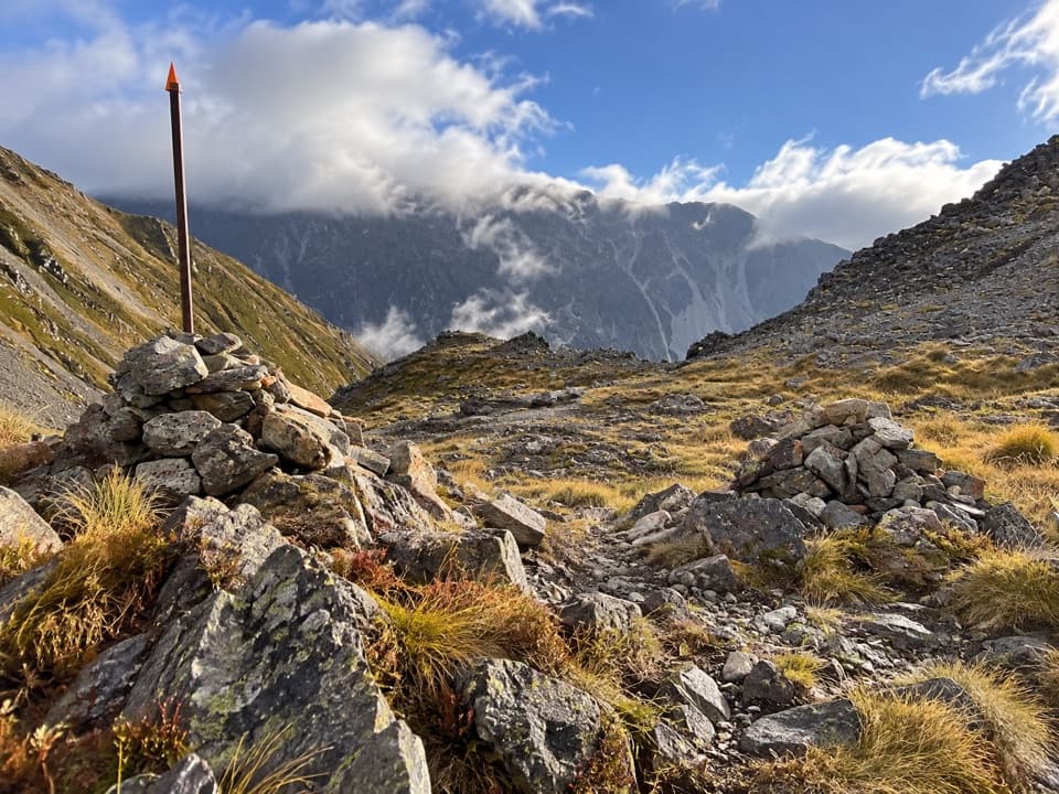 ChallengingPoukirikiri/Travers Saddle Route8.4 km · 7.5 hr · 5.3 km awayAn alpine pass links two remote valleys in one demanding day.
 ChallengingRainbow Pass from Upper Travers Hut6.1 km · 5.5 hr · 5.3 km awayA steep hut-to-pass return with tarn reflections and a high alpine finish.
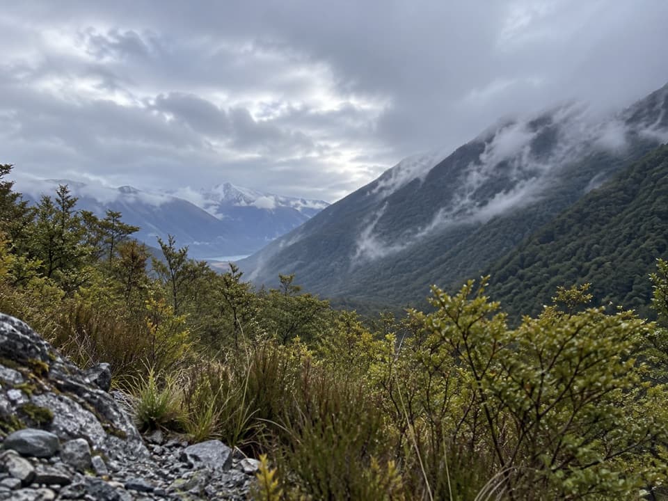 ModerateSabine Track15 km · 6 hr · 7.9 km awayOpen flats, a river gorge and a hut above Lake Rotoroa.
 ChallengingRotomairewhenua/Blue Lake Track15.4 km · 7 hr · 8 km awayThe clearest water comes after a long, serious alpine climb.
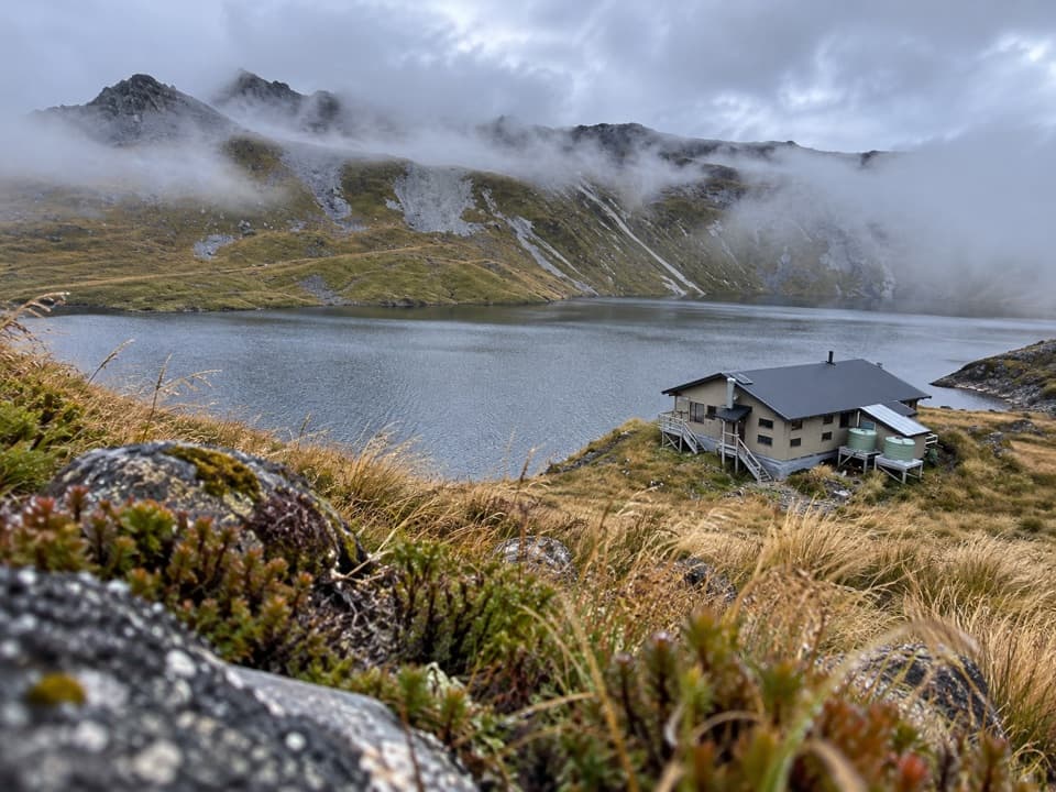 ChallengingSunset Saddle Route6 km · 3.5 hr · 9.7 km awayA remote saddle crossing links two alpine huts.
 ChallengingAngelus Hut via Mt Cedric Track/Route6.8 km · 6 hr · 10.9 km awayAn exposed ridge links two remote huts above an alpine basin.
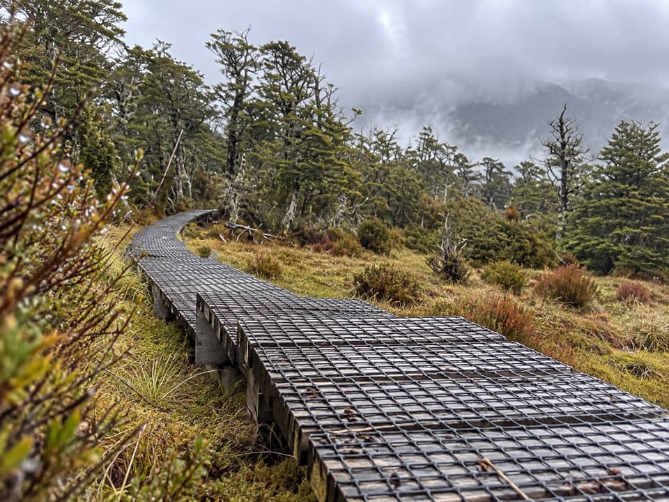 ChallengingSabine–Speargrass Track11.5 km · 5 hr · 10.9 km awayA remote hut crossing, with a boardwalk through mountain wetlands.
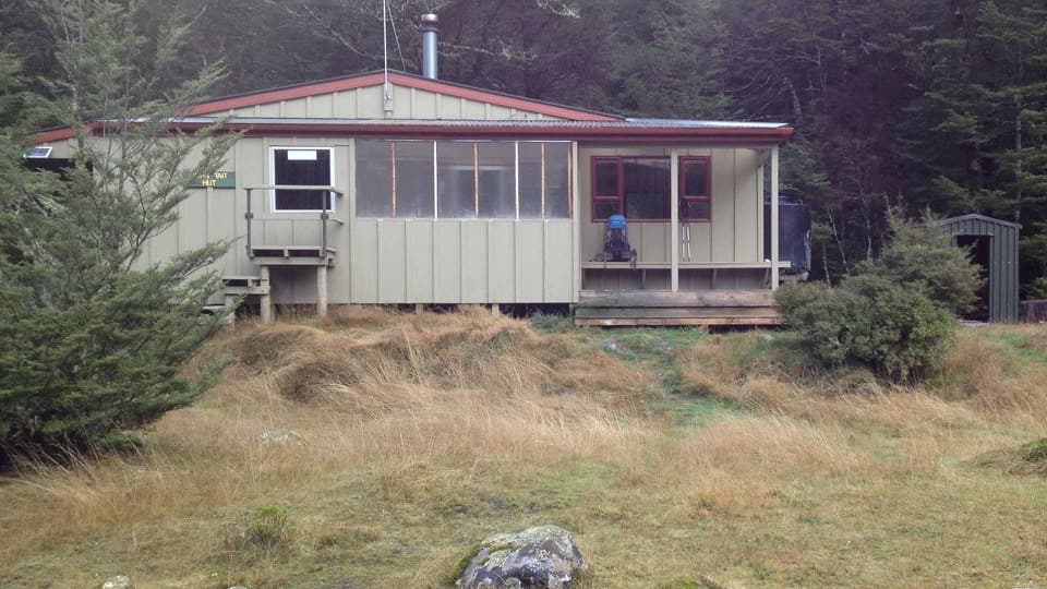 Lodging · At the trailheadJohn Tait HutA riverside refuge on a classic multi-day alpine circuit.
 Sight · 1.8 km awayTravers FallsA 20-metre cascade on a demanding multi-day route.
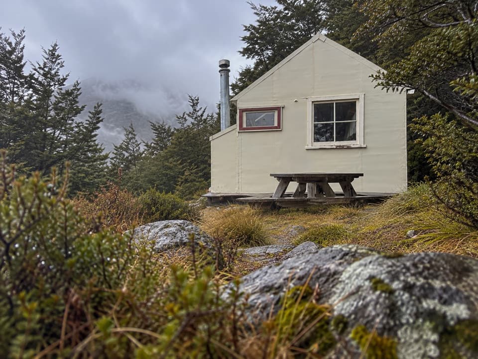 Lodging · 3 km awayCupola HutA remote alpine hut above the Travers Valley after a steep climb.Lodging · 5 km awayHopeless HutA six-bunk hut with a Sir Edmund Hillary opening story.
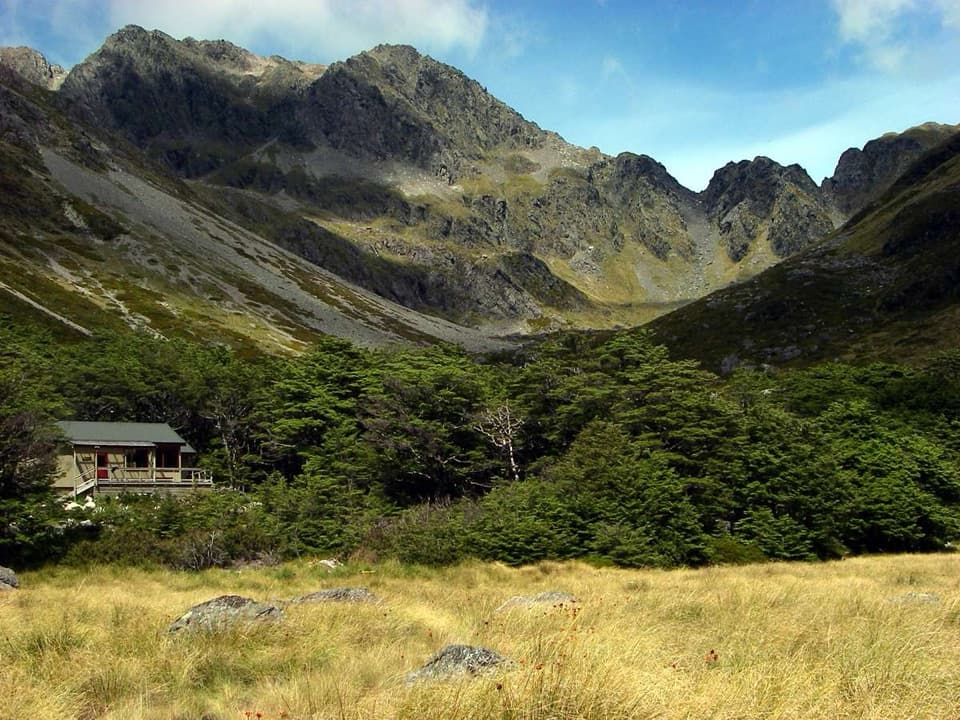 Lodging · 5.3 km awayUpper Travers HutSleep below Mount Travers on this demanding multi-day circuit.
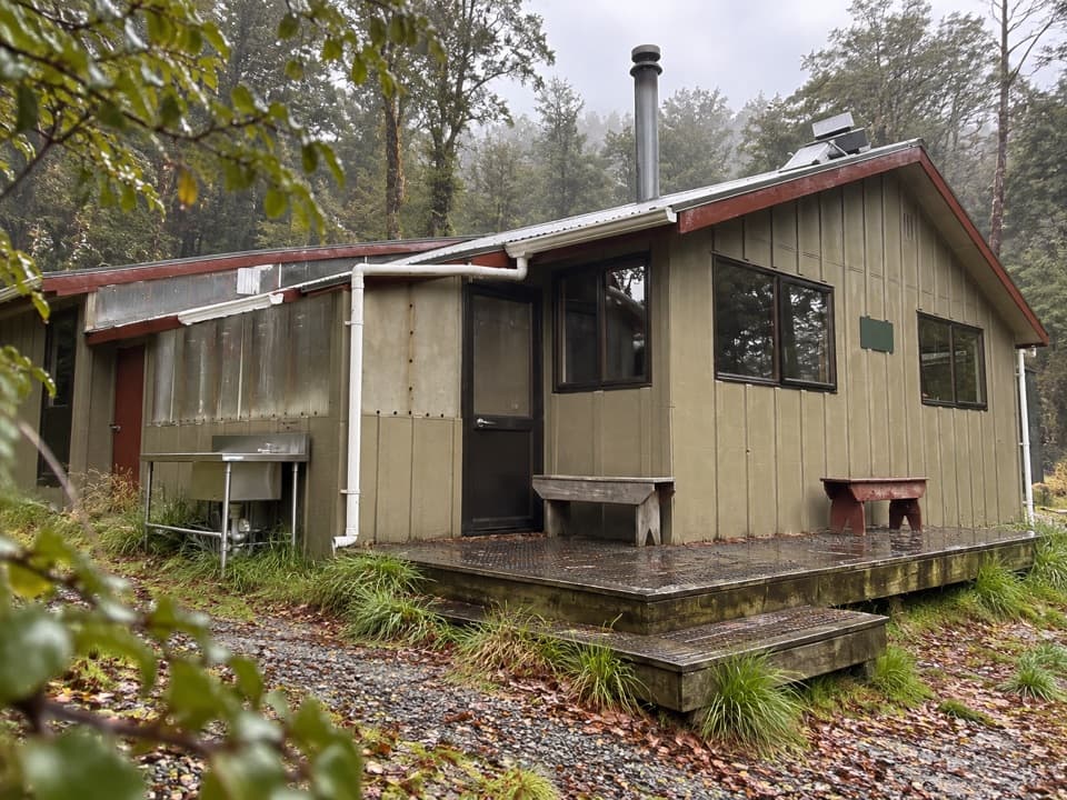 Lodging · 7.9 km awayWest Sabine HutA warm, 30-bunk stop on the high Travers–Sabine Circuit
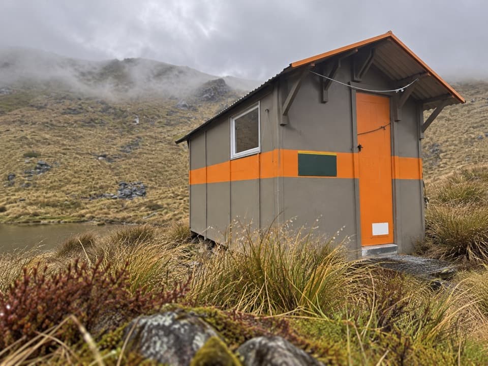 Lodging · 9.3 km awayMount Misery HutA three-bunk hut high on the ridge, with wide range views.Lodging · 9.7 km awayAngelus HutA 28-bunk alpine stay beside Lake Angelus, reached on foot.
Parkwolf’s Nelson Lakes ranking

The audio tour guide for the drive, plus offline maps, trails, and wildlife heatmaps for when the signal drops.



