
Place · 1.6 mi away
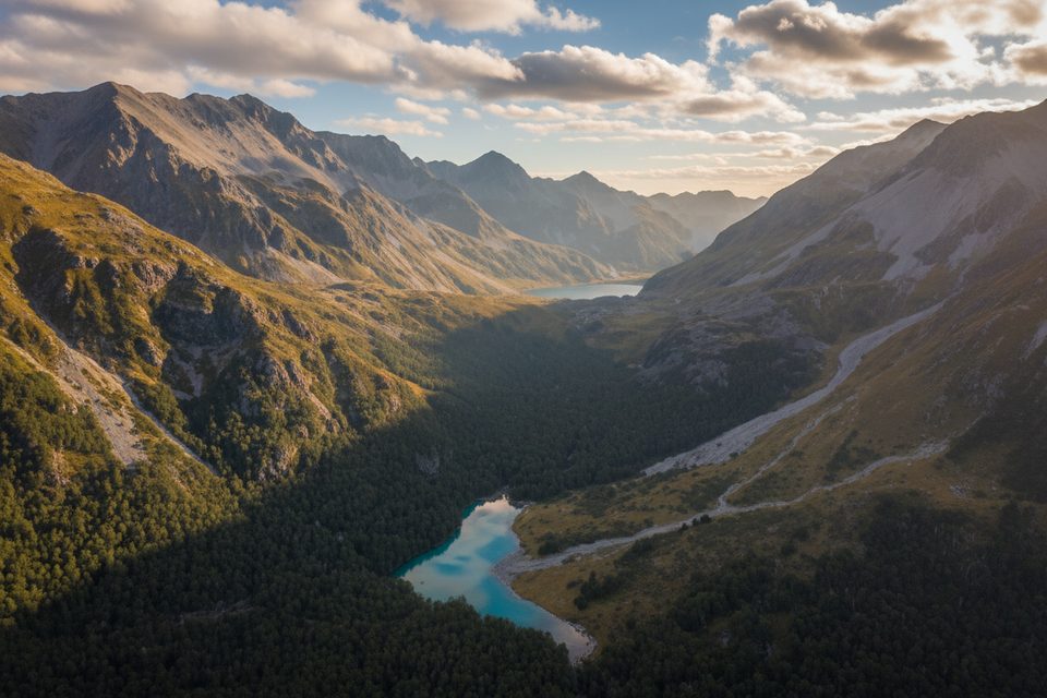
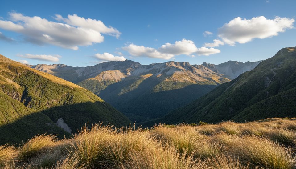
Mount Franklin rises to 2340 m, the highest point on Franklin Ridge and the high roof above Rotomairewhenua/Blue Lake and Lake Constance. It divides the East and West Branches of the Sabine River. This is not a marked DOC track but a set of alpine routes on scree, loose rock and seasonal snow. The first recorded ascent was in 1947 by a Tararua Tramping Club party.
From the Blue Lake/West Sabine side, experienced parties often use:
Other, more committing options include the East Sabine Route (Alpine Grade 1), the Sabine Forks/Franklin Ridge line (Alpine Grade 3), and a Moraine Wall/Peak 2291 link (Alpine Grade 2). Choose based on conditions and your party’s skills.
Most trampers reach the area on the Travers–Sabine Circuit from St Arnaud, over Travers Saddle to West Sabine Hut, with a popular side trip to Blue Lake and its hut. A water taxi can shorten the lake sections at the St Arnaud end. (Note: the Rotoroa Route on the lake’s east side is permanently closed but doesn’t affect the standard circuit.) For planning, DOC’s brochure map labels Mt Franklin, huts and routes; NZTopo50 BR24 Kawatiri and BS24 Mount Robert are the detailed topo sheets.
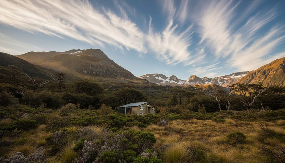
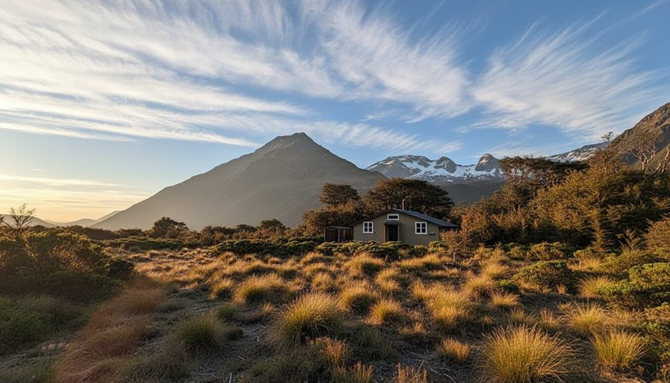
There are no toilets, taps, or shelters on Mount Franklin. Nearby serviced huts include: Blue Lake Hut (16 bunks), West Sabine Hut (30), Upper Travers (24) and John Tait (27). Bookings are required for serviced huts. Hut facilities typically mean mattresses, a water supply, toilets and heating; water is usually untreated—carry treatment.
Expect unmarked terrain, steep scree and loose rock. More than 20 recognised avalanche paths affect the Travers–Sabine; John Tait Hut sits below an avalanche path. Winter/spring snow can linger into late November—carry and know how to use avalanche gear when warranted and make conservative calls.
You may encounter kea in the alpine zone and kākā or parakeets in the beech forest. Great spotted kiwi are present but rarely seen; whio/blue duck are sometimes in the upper Sabine. Sandflies are common, and wasp numbers spike January–April—pack repellent and cover up when needed.
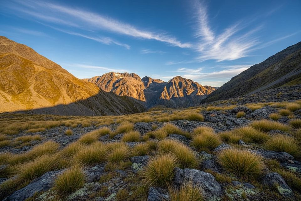
The Alpine Fault crosses the park, and past glaciation carved the U‑shaped valleys and lake basins like Rotoiti, Rotoroa, Constance and Blue Lake. Forest gives way to tussock and alpine herbfields above roughly 1400 m—exactly the country you’ll be moving through on Franklin’s flanks.
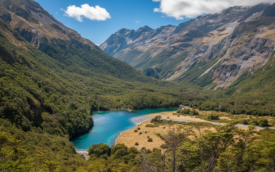
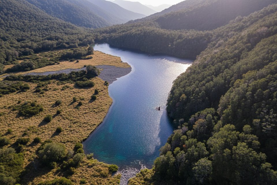
Rotomairewhenua/Blue Lake is famed for clarity. Do not swim, wash, or put gear in the lake; fill drinking water from the Sabine River below the lake outlet.
Aim for settled, snow‑lean conditions after late November. Blue Lake Hut is very popular in peak months—book early and start early on summit days to give yourself a daylight and weather buffer. Expect wasps January–April and plan accordingly.
Place · 1.6 mi away
Place · 1.7 mi away
Place · 1.7 mi away
Place · 2.1 mi away
Challenging · 3 mi away
Moderate · 3 mi away
Challenging · 3.9 mi away
Challenging · 6.8 mi away

Parkwolf Tour Guide
