
Place · 2.7 mi away
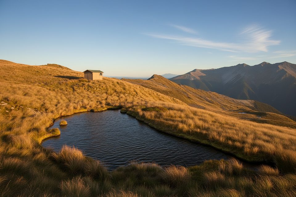
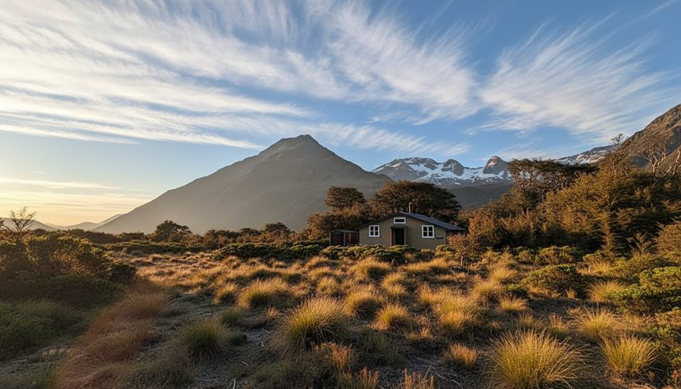
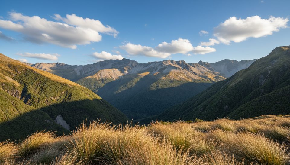
Perched near the summit of Mount Misery (~1553 m) and built in 1965, this tiny 4‑bunk backcountry hut is all about the tops: big horizons over Lake Rotoroa and the Travers/Ella ranges, and plenty of weather if it turns. It’s best in settled conditions and suits trampers who like a simple shelter after a steep grind.
Expect the basics only: four bunks with mattresses, a long‑drop toilet, and water from a nearby natural source (treat/boil/filter). There’s no fireplace or stove, so pack your own cooking setup and fuel. Cellphone reception is often available from about halfway up the climb and around the hut. First‑come, first‑served—carry a tent or bivvy as backup.
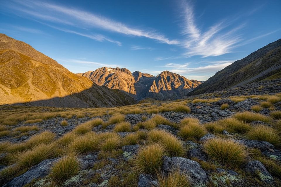
Most parties come from Lake Rotoroa: take the water taxi or paddle to Sabine Hut or D’Urville Hut, then climb to the ridge and along to the hut. It’s roughly 10 km one way with about +1200 m of ascent; the climb from the lakeshore alone can take 3–4+ hours. The track is a steep beech‑forest slog to the bushline (~1400 m), then a poled, exposed ridge to the hut. Recent users report confusing or faint markers in places—navigation tools are a must.
This is a sustained, steep route with exposure above the bushline. In clag or whiteout, poles can be hard to follow. Carry a map/compass and/or GPS, start early, and allow generous time. In winter and early spring, snow/ice are likely—only proceed with the right gear and skills (e.g., ice axe/crampons when required).
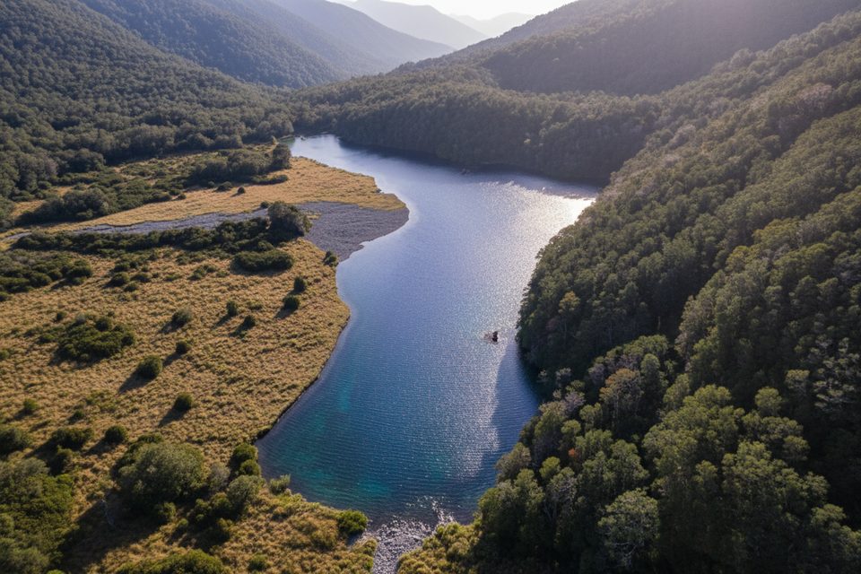
Lindavia is present in Lakes Rotoiti and Rotoroa and forms sticky “lake snow.” Dry all gear for 48 hours before entering or taking water from any alpine lake or tarn. Use the DOC biosecurity cleaning stations at Coldwater Hut, Lakehead Hut, and Sabine Hut for any wet gear exposed to lake/river water. Do not touch the water in Rotomairewhenua/Blue Lake or Rotopōhueroa/Lake Constance.
Late spring to autumn (Nov–Apr) offers the most reliable tramping conditions on the tops. Aim for settled, clear forecasts; avoid poor weather when the ridge is exposed and navigation is tricky. Day‑trippers should plan an early water taxi to Sabine/D’Urville and leave ample time for the return.
Place · 2.7 mi away
Place · 3.6 mi away
Place · 3.7 mi away
Place · 3.7 mi away
Challenging · 2.7 mi away
Moderate · 2.7 mi away
Challenging · 6.1 mi away
Challenging · 7.4 mi away

Parkwolf Tour Guide
