Parking
Start and finish at Burbush Car Park, Burley, Ringwood, BH24 4EF. Follow the path from the car park to the old railway bed.
New Forest National Park, EN
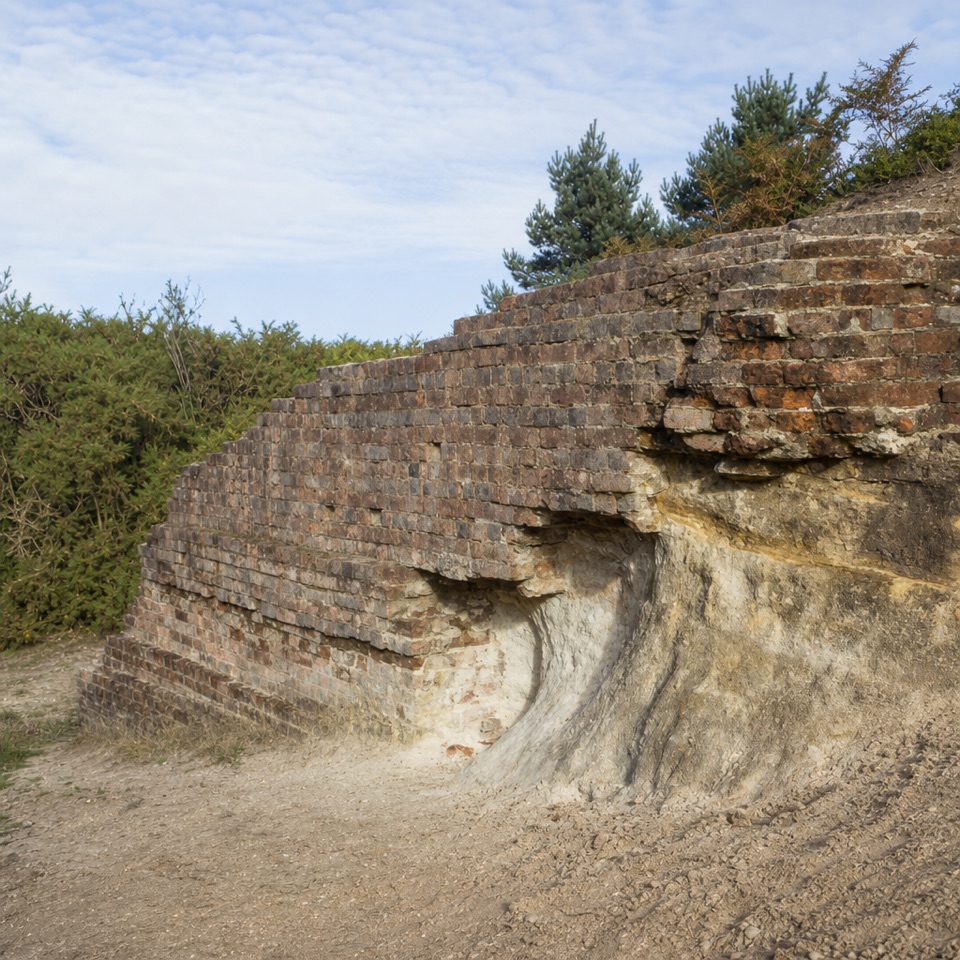
A short hill loop with railway relics and pony country.
Overview
Map & elevation
Plan your hike

The highest, rockiest slopes around here are a summer buffet for grizzly bears.
New Forest Tour Guide
Parkwolf is a GPS audio tour guide for New Forest National Park. As you drive, it chimes in with what’s ahead: hidden gems, upcoming stops, history, geology, and wildlife, right through your car’s speakers.
Recorded for this trailhead
Burbush Walk“You're coming up on Burbush Car Park, the start of a two-mile loop along an old railway line and over Shappen Hill.”
Plays as you drive up to this trailhead in the Parkwolf New Forest Tour Guide.
More stories near here in the app
“Fantastic app with many points of information… It’s great to just turn on while you’re driving and it gives you an audio tour of the national Park. We love it!!!!”


Trail guide
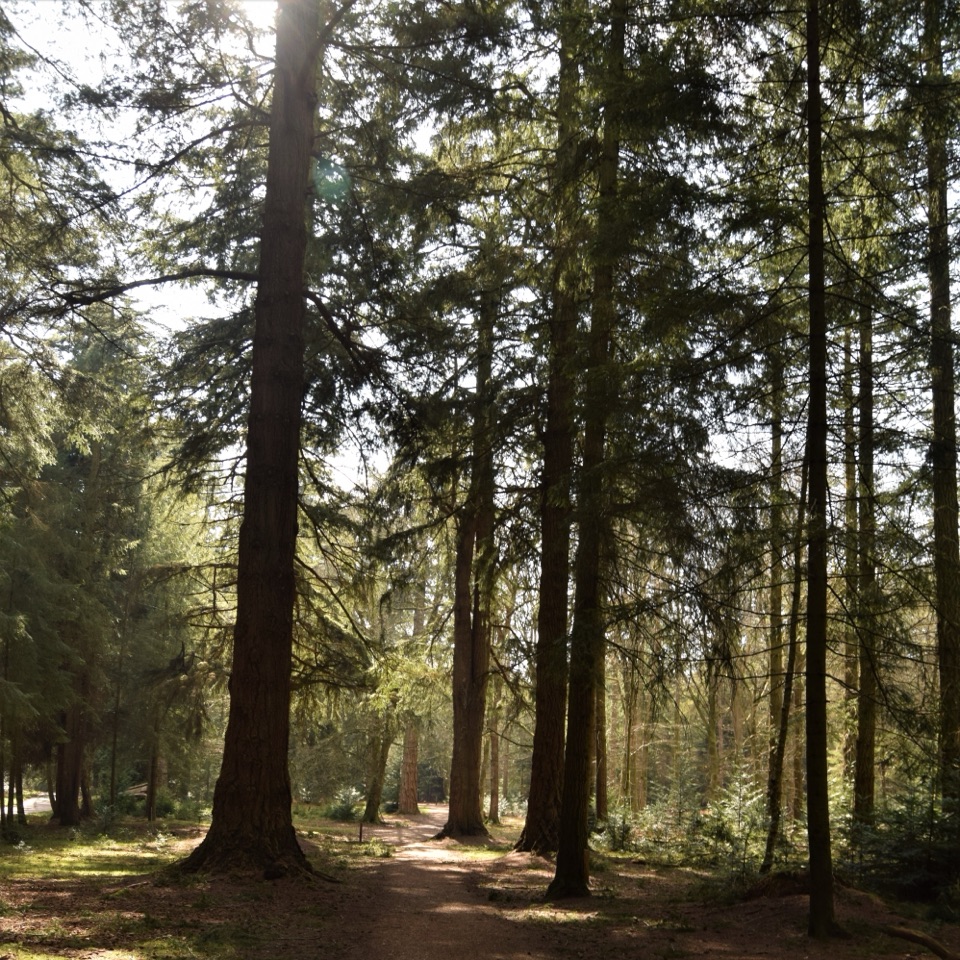
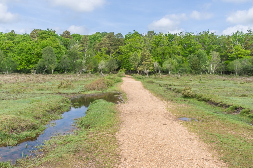
Burbush Walk is a 2-mile circular from Burbush Car Park, following part of the former Brockenhurst–Ringwood railway bed before looping over Shappen Hill and returning to the start. Allow about an hour for this easy New Forest walk. It suits a short outing with a little railway history in it; free-roaming ponies may be nearby, though sightings are not guaranteed.
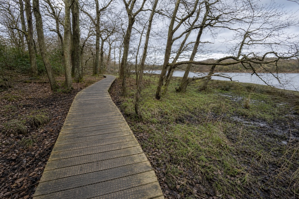
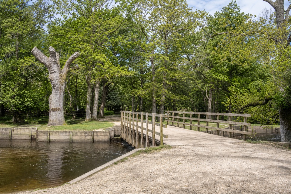
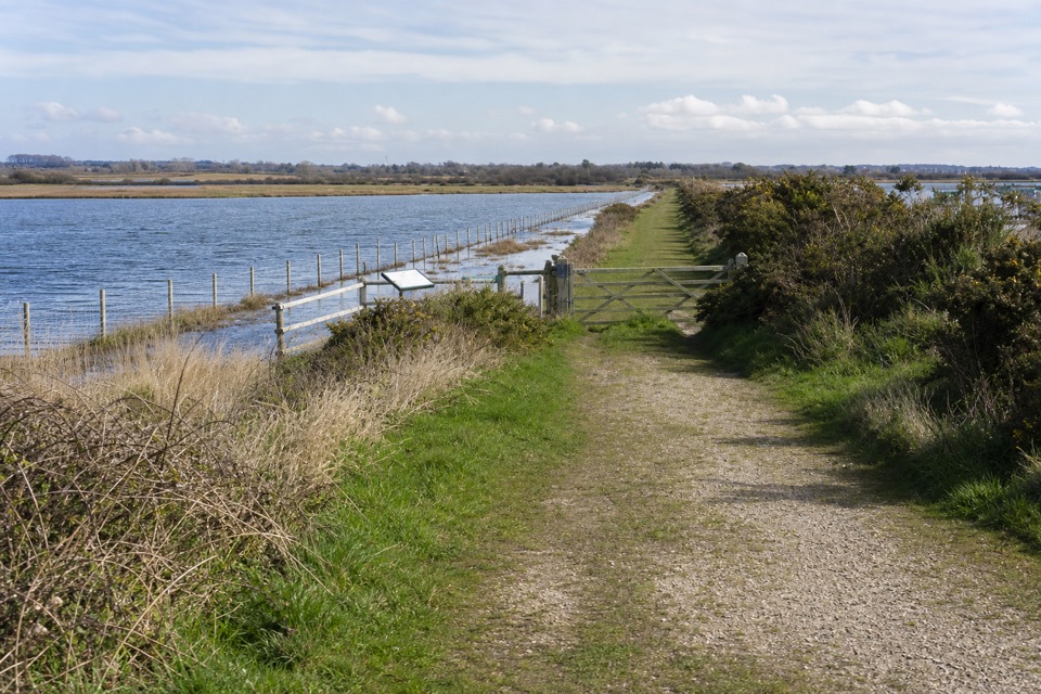
Leave the car park by the path to the old track-bed and follow it past a brick bridge and gateposts beneath yew trees at Shappen Crossing. Turn north over the causeway through reedbeds, then climb to Shappen Hill. Keep left at the fork and follow the broad track as it dips through a small valley, rises over another low hill and drops back to the railway. Much of the route is easy to follow; cyclists also use the rail path. The line was part of the Southampton & Dorchester Railway, opened in 1847. Foundations beneath the yews mark Shappen Crossing; a local account says it mainly served stock, including ponies, pigs and cattle.
Start and finish at Burbush Car Park, Burley, Ringwood, BH24 4EF. Dogs are welcome. The optional southbound spur to Whitten Pond is not part of this circuit and can get very boggy, so stay on the described loop for the easier outing.
Wildlife
 28 sightingsRed DeerMost seen around 7 AMSighting map
 10 sightingsWhite-tailed EagleMost seen around 10 AMSighting map
 14 sightingsHarbor SealMost seen around 7 PMSighting map
 176 sightingsEuropean Fallow DeerMost seen around 7 PMSighting map
 93 sightingsWestern Roe DeerMost seen around 7 AMSighting map
 54 sightingsMute SwanMost seen around 6 PMSighting map
Sighting maps show where each species has been reported across New Forest. Wildlife moves, so no sighting is guaranteed.
Keep exploring
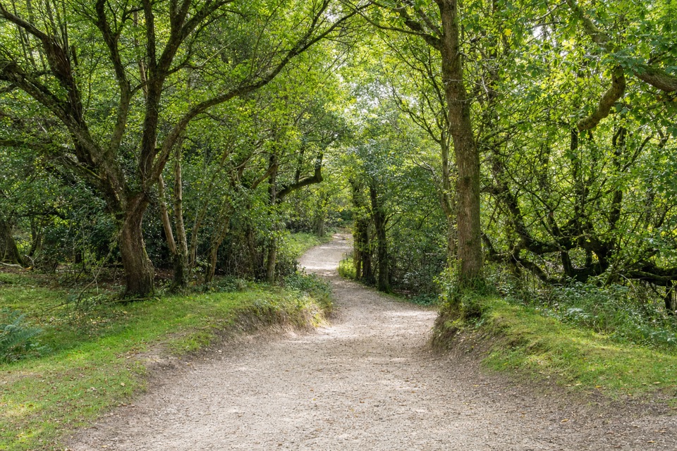 EasyBurley Village Walk6.8 km · 2.5 hr · 1.6 km awayA village loop to Burley's Iron Age hillfort at Castle Hill.
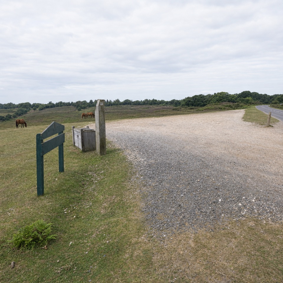 EasyPicket Post Walk3.2 km · 1 hr · 4.1 km awayA short, easy heath circuit starting at Picket Post Car Park.
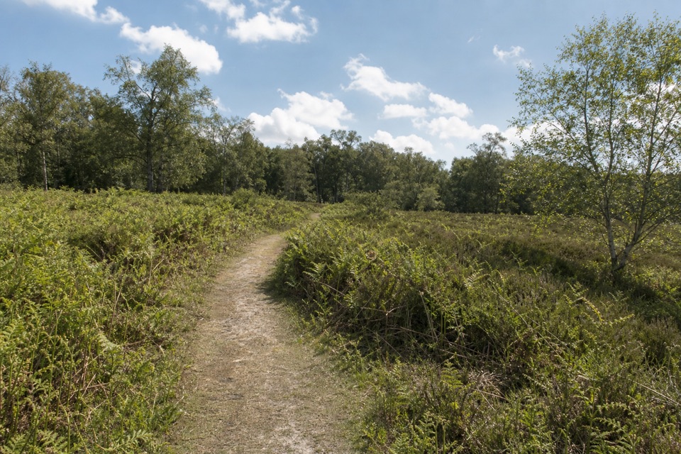 EasyA Short Stroll Around Hightown1.9 km · 25 min · 4.4 km awayA short loop through grazed lawn, gorse and ancient birches.
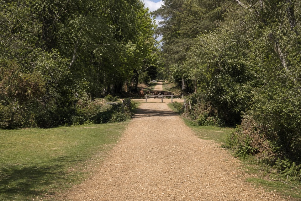 ModerateAnderwood Walk5 km · 1.5 hr · 6.2 km awayA short circuit between open heath, trees, and a stream.
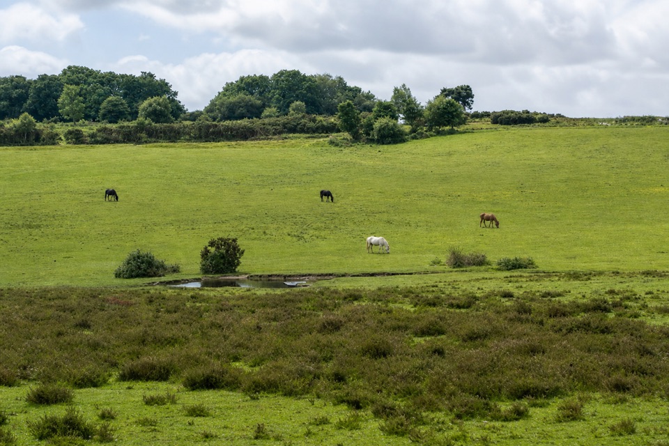 EasyHorseshoe Bottom Loop2.9 km · 1 hr · 6.2 km awayA short heath and woodland loop with views toward Brockenhurst.
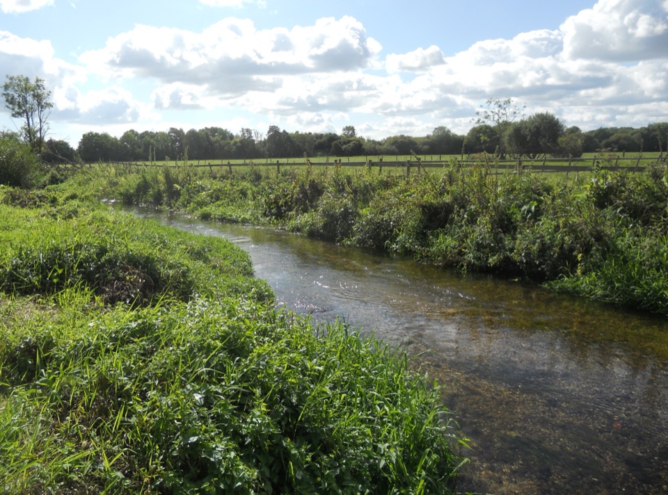 EasyRingwood Town Trail1.6 km · 1 hr · 6.6 km awayA pocket park, old market town, and Avon bridges in one mile.
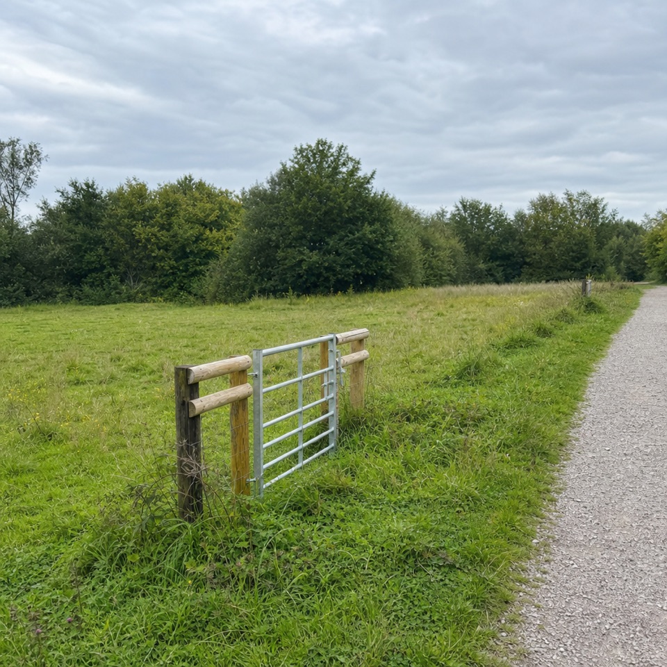 EasyRingwood, Rockford Common and Beyond5.6 km · 1.8 hr · 6.7 km awayStart on grass, climb onto heath, finish beside a stream.
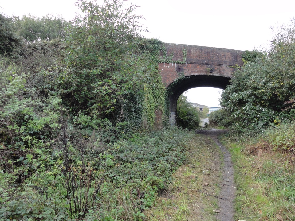 EasyRingwood, Crow and Kingston7.2 km · 2.3 hr · 6.7 km awayA 4.5-mile Ringwood loop linking old railway and valley paths.
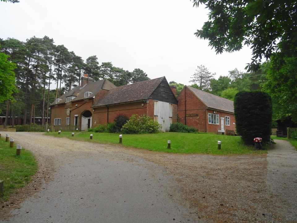 Sight · 2.3 km awayAvon Tyrrell Outdoor Activity CentreZip wires, lakes and woodland around a Grade I Victorian mansion
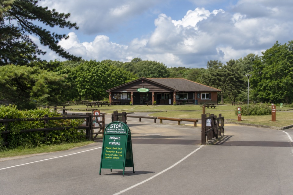 Campground · 2.8 km awayHolmsley CampsiteCamp on a former wartime airfield ringed by heath and ponies
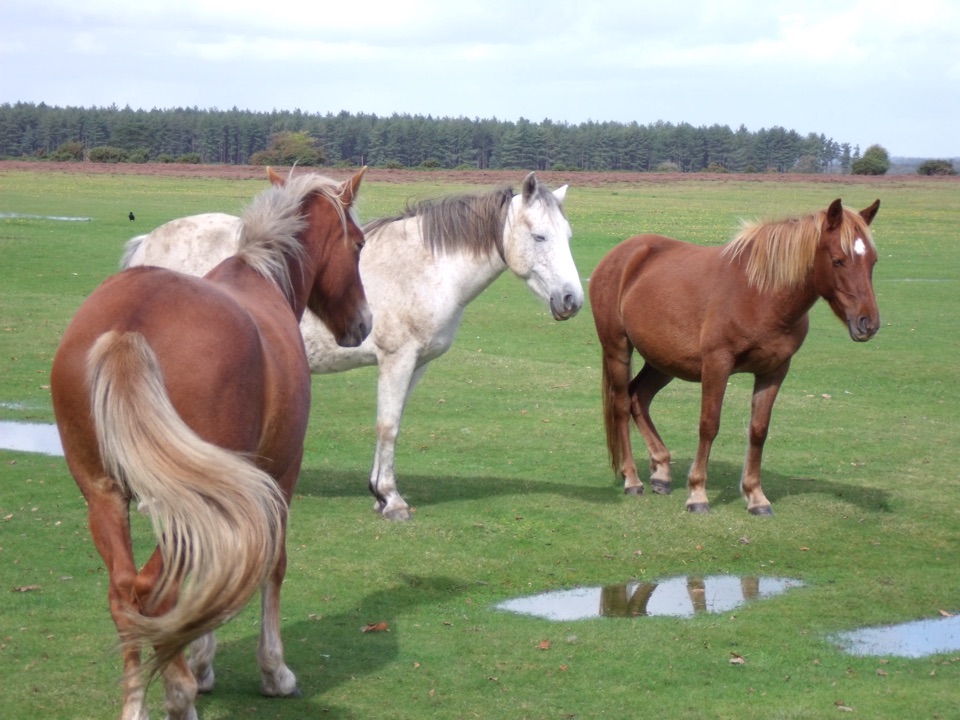 Picnic area · 5.2 km awayWilverleyFree parking, wide open lawn, grazing ponies and woodland loops
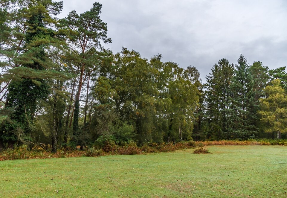 Picnic area · 6.1 km awayAnderwood Picnic AreaQuiet woodland clearing with picnic tables, parking and toilets
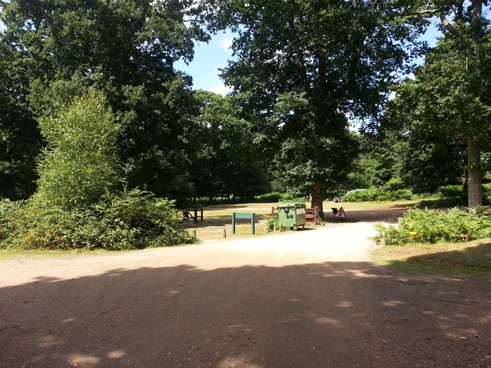 Campground · 6.3 km awaySetthorns CampsiteSelf-sufficient woodland camping among pines, oaks and roaming ponies
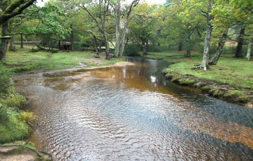 Sight · 6.9 km awayPuttles BridgeWoodland stream crossing and easy gateway to the Ober Water Trail
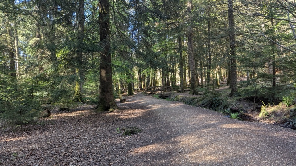 Sight · 7 km awayBlackwater ArboretumTouch seed sculptures beneath 1850s conifers and towering redwoods
 Picnic area · 7.2 km awayWhitefield MoorHeath and woodland picnics with easy gravel trails by Ober Water
Parkwolf’s New Forest ranking

The audio tour guide for the drive, plus offline maps, trails, and wildlife heatmaps for when the signal drops.