Parking
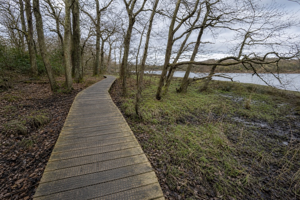
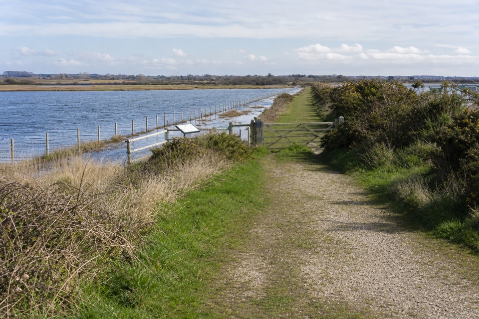
Whitefield Moor car park is on Rhinefield Road; from Brockenhurst, follow Rhinefield Drive, pass the Aldridge Hill campsite turn, then take the next right. Parking is paid. Toilets, including accessible toilets, are at the car park.
New Forest National Park, EN
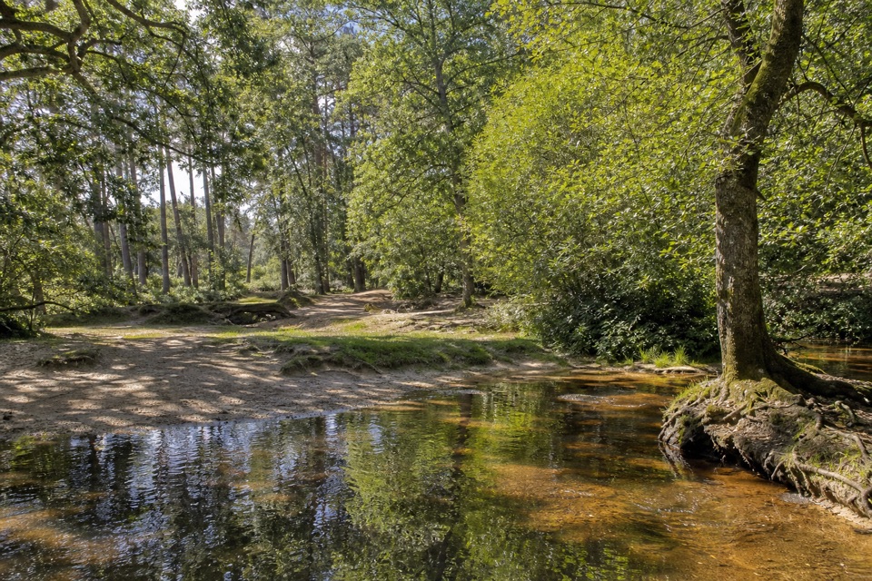
Three footbridges, a woodland stream and a heathland return.
Overview
Map & elevation
Plan your hike

The highest, rockiest slopes around here are a summer buffet for grizzly bears.
New Forest Tour Guide
Parkwolf is a GPS audio tour guide for New Forest National Park. As you drive, it chimes in with what’s ahead: hidden gems, upcoming stops, history, geology, and wildlife, right through your car’s speakers.
Recorded for this trailhead
Whitefield Moor and Ober Water“You're approaching Whitefield Moor, where open heath meets the wooded banks of Ober Water. This is a good place to stop for a picnic and a short walk, with room to spread out near the car park.”
Plays as you drive up to this trailhead in the Parkwolf New Forest Tour Guide.
More stories near here in the app
“Fantastic app with many points of information… It’s great to just turn on while you’re driving and it gives you an audio tour of the national Park. We love it!!!!”


Trail guide
The Ober Water Trail’s red route is an easy 1.6-mile loop from Whitefield Moor car park. It follows the wooded stream for the longer of the two signed options, then returns across Whitefield Moor. Allow about 40 minutes at a steady walking pace, with extra time for stops beside the water.
Leave the car park heading west on the shared red-and-yellow path. The trail passes the nearby road bridge called Puttles Bridge, then crosses a smaller footbridge and turns right, keeping the stream on your right through tall pines. The path reaches a second bridge with a bench. Here, yellow markers head back to the car park for a shorter 1-mile loop of about 25 minutes; stay on the red route to continue through the woods.
The red route reaches a third footbridge. Turn right over it, follow the tree-lined avenue away from the stream, then take the red-marked turn across open Whitefield Moor to the car park. The bridge names are easy to mix up: the wooden crossings are footbridges over Ober Water; Puttles Bridge is the road bridge nearby. The walk’s character changes from close, leafy streamside paths to a more open return.
Forestry England describes gravel and compacted grass, gentle slopes, and a noticeable descent to the river followed by a climb back out. The route is short and generally easy, but paths can be muddy after rain. Erosion can leave small lips at bridge approaches, so watch your footing. Whitefield Moor car park is on Rhinefield Road; parking is paid, and toilets, including accessible toilets, are at the lot. Dogs are allowed; keep them on a lead around New Forest ponies.
Wildlife
 28 sightingsRed DeerMost seen around 7 AMSighting map
 10 sightingsWhite-tailed EagleMost seen around 10 AMSighting map
 14 sightingsHarbor SealMost seen around 7 PMSighting map
 176 sightingsEuropean Fallow DeerMost seen around 7 PMSighting map
 93 sightingsWestern Roe DeerMost seen around 7 AMSighting map
 54 sightingsMute SwanMost seen around 6 PMSighting map
Sighting maps show where each species has been reported across New Forest. Wildlife moves, so no sighting is guaranteed.
Keep exploring
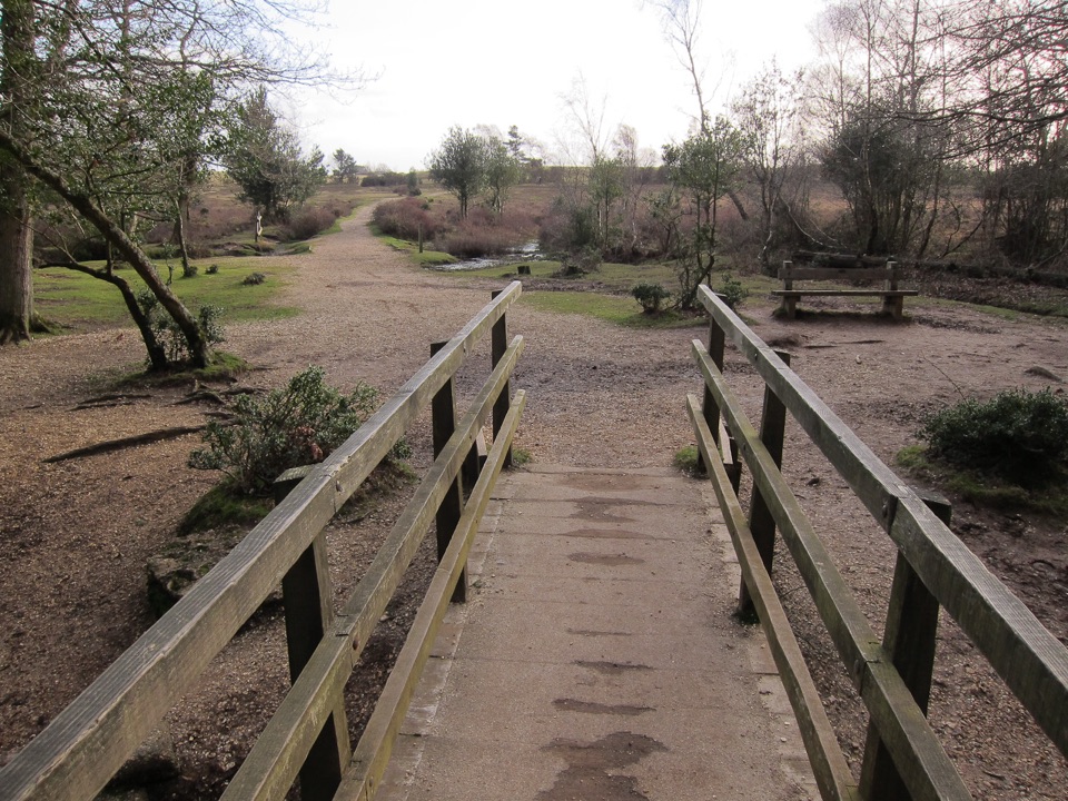 EasyWhitefield Moor Short Loop1.6 km · 30 min · At the trailheadA one-mile loop from Ober Water woods onto open heathland.
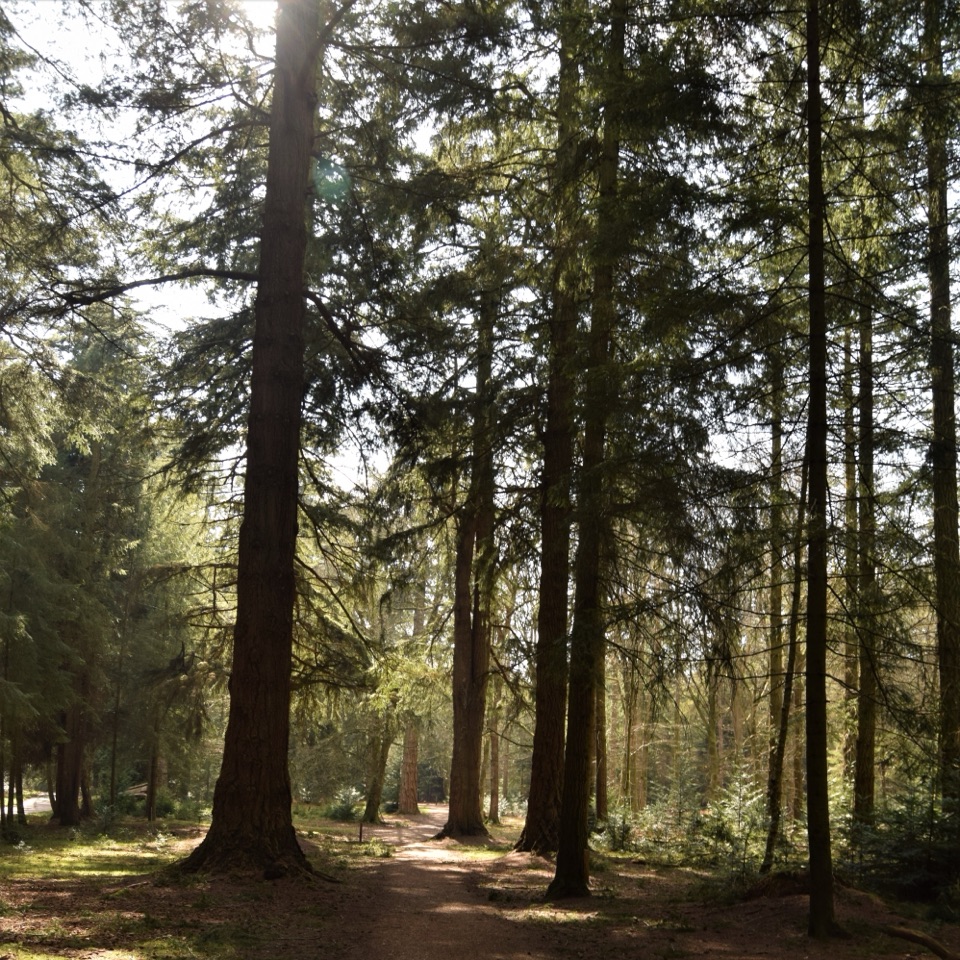 EasyTall Trees Trail at Blackwater2.3 km · 48 min · 2.1 km awayA 1.4-mile shaded loop beneath Blackwater’s giant redwoods
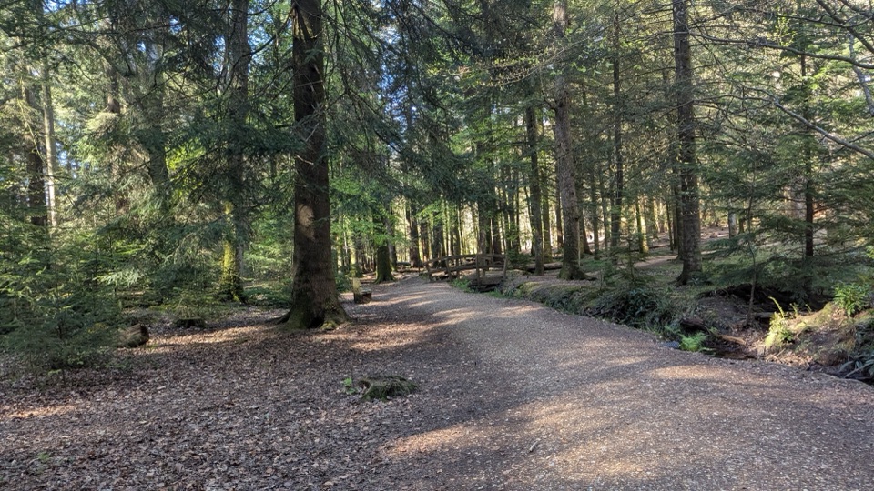 EasyBlackwater Arboretum Trail1.1 km · 30 min · 2.1 km awayA brief, level loop through conifers planted in the 1850s.
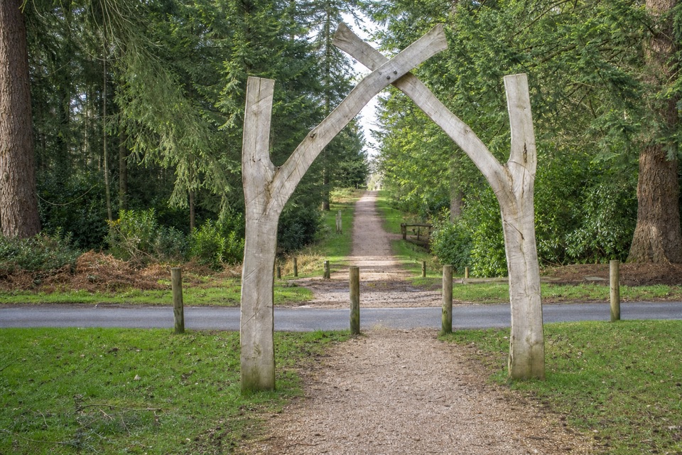 EasyBlackwater Tall Trees Arboretum Link1.8 km · 30 min · 2.1 km awayGiant sequoias and oak arches, with a short Tall Trees link.
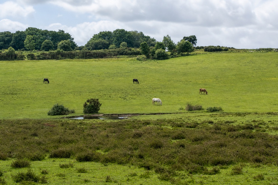 EasyHorseshoe Bottom Loop2.9 km · 1 hr · 2.4 km awayA short heath and woodland loop with views toward Brockenhurst.
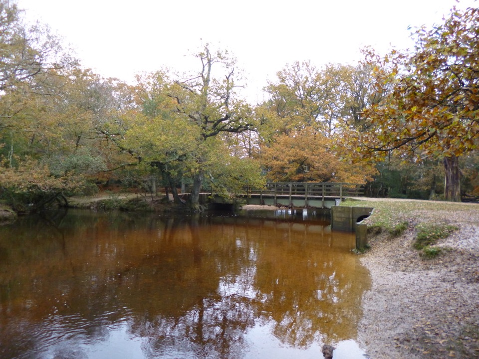 ModerateBrockenhurst and Lyndhurst Circular16.3 km · 4.3 hr · 2.4 km awayA river bridge and two villages, linked by forest tracks.
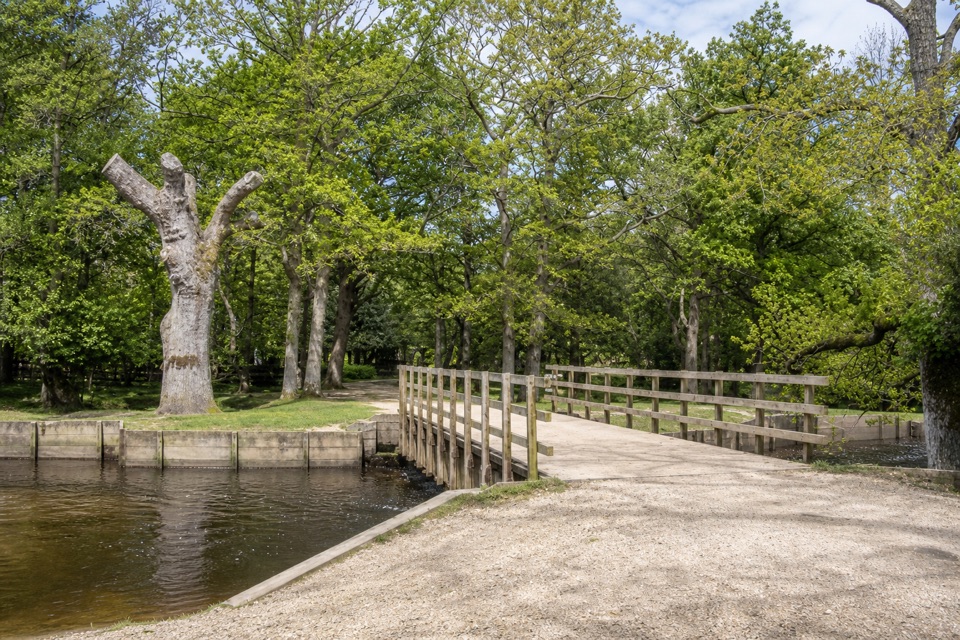 EasyBrockenhurst Village Loop8 km · 2.5 hr · 2.8 km awayA village walk reaching Ober Water, Bolderford Bridge and open heath.
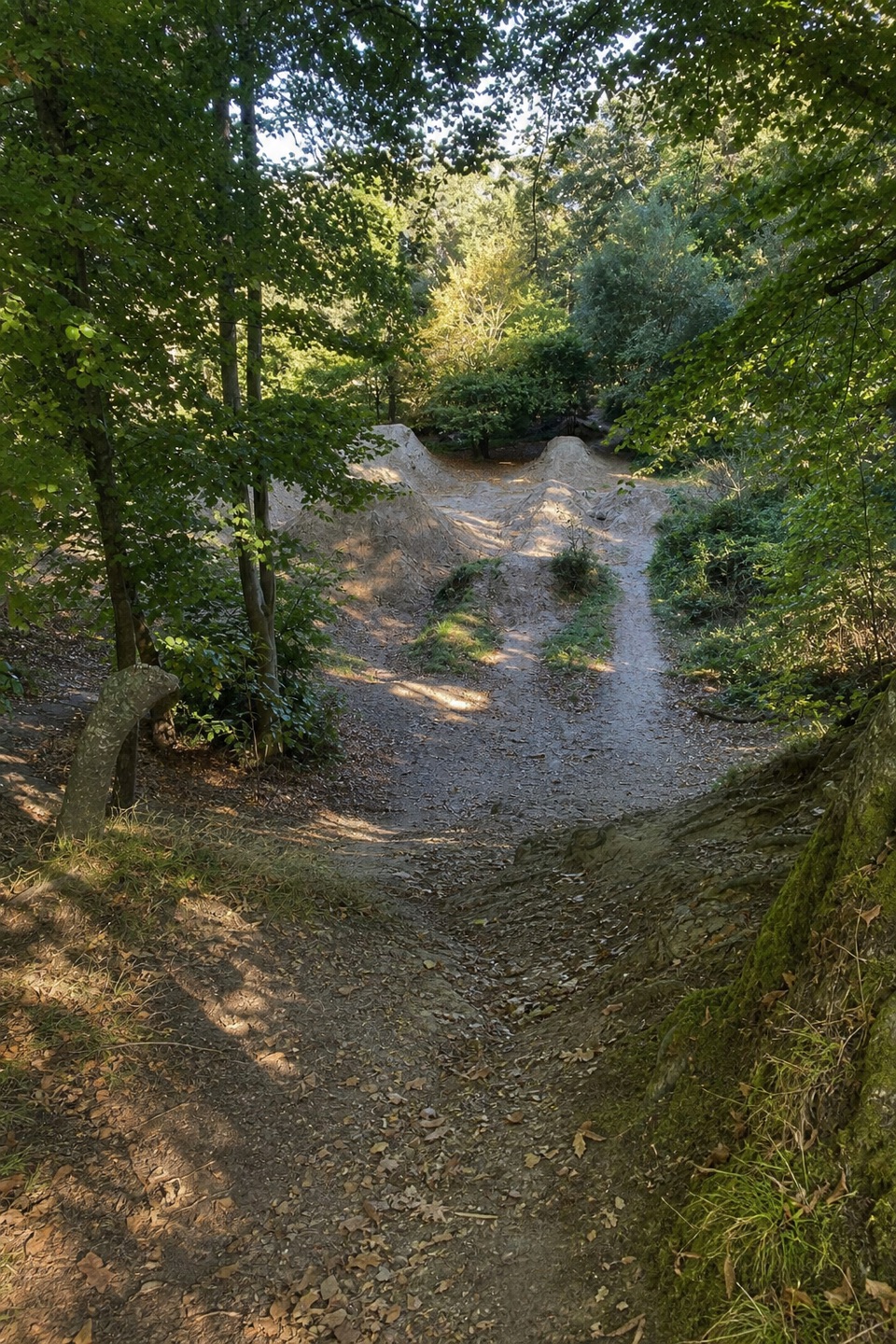 ModerateBuckland Rings Trail10.9 km · 2.8 hr · 2.8 km awayA station-to-station walk through woods and fields to an Iron Age hillfort.
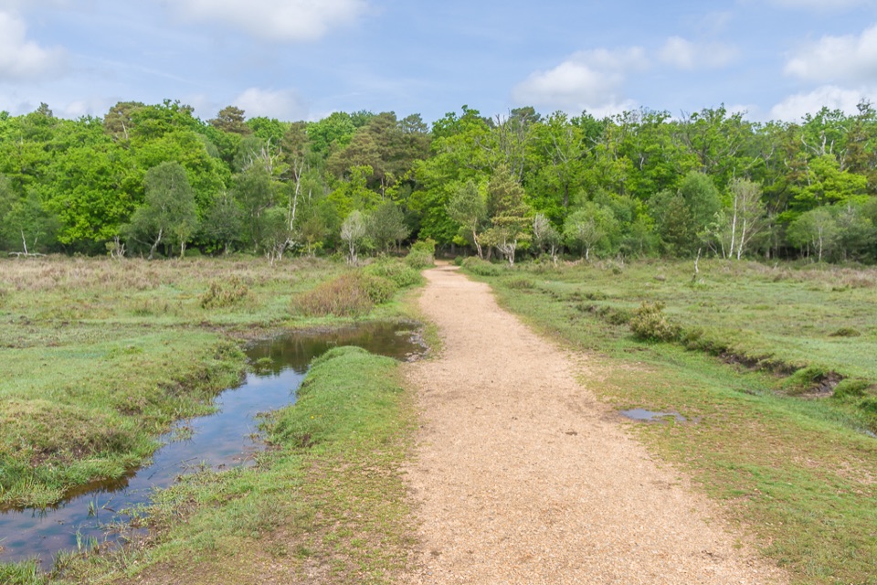 Picnic area · At the trailheadWhitefield MoorHeath and woodland picnics with easy gravel trails by Ober Water
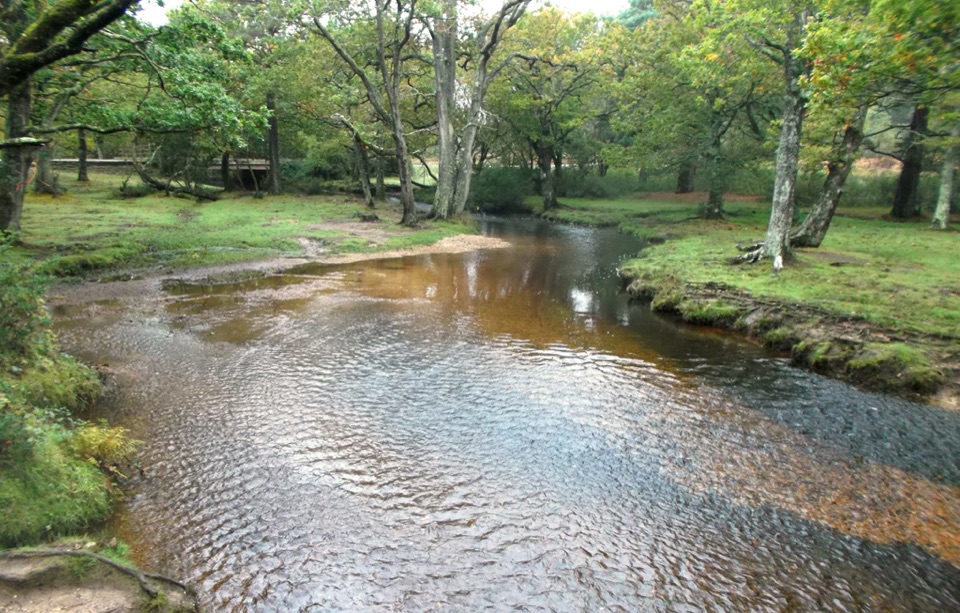 Sight · 0.4 km awayPuttles BridgeWoodland stream crossing and easy gateway to the Ober Water Trail
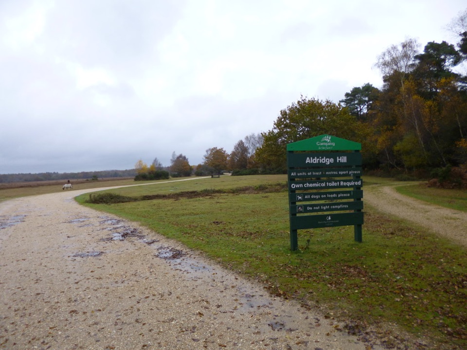 Campground · 1.3 km awayAldridge Hill CampsiteStreamside wild-feeling camping with no toilets, showers or powerSight · 2.3 km awayBlackwater ArboretumTouch seed sculptures beneath 1850s conifers and towering redwoods
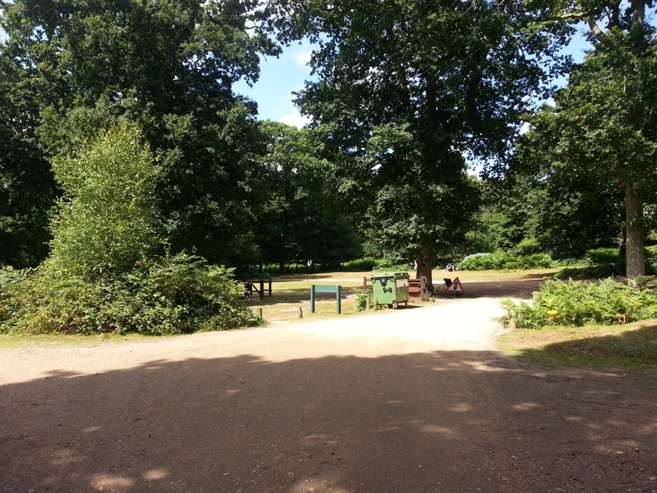 Campground · 2.6 km awaySetthorns CampsiteSelf-sufficient woodland camping among pines, oaks and roaming ponies
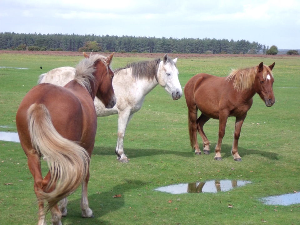 Picnic area · 2.6 km awayWilverleyFree parking, wide open lawn, grazing ponies and woodland loops
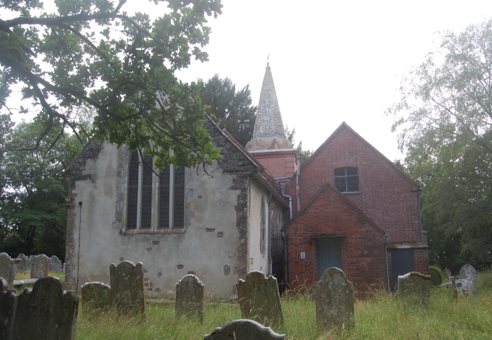 Sight · 3.2 km awaySt Nicholas' ChurchDomesday church with ANZAC graves and Brusher Mills' marker
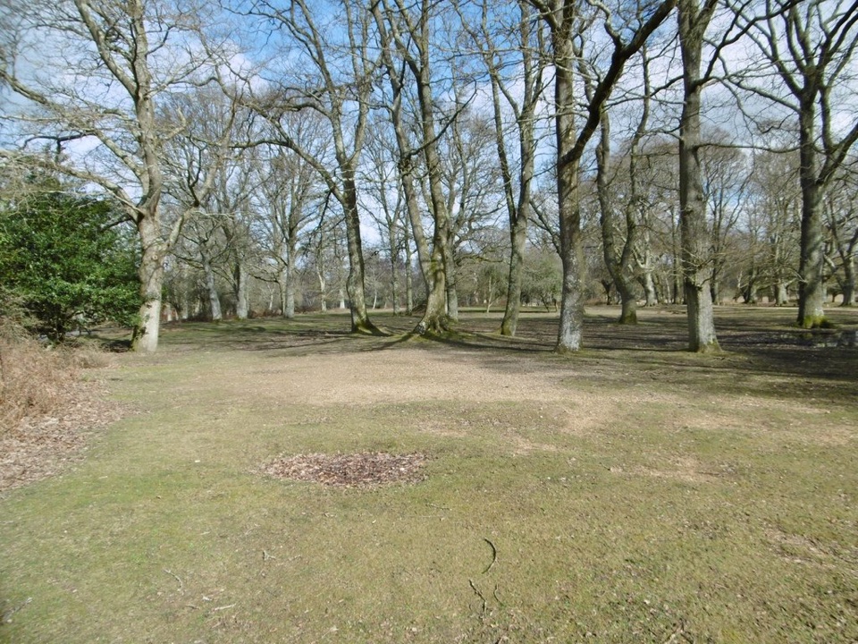 Campground · 3.3 km awayHollands Wood CampsiteWoodland pitches, roaming ponies, and a short walk into Brockenhurst
Parkwolf’s New Forest ranking

The audio tour guide for the drive, plus offline maps, trails, and wildlife heatmaps for when the signal drops.