Parking
Use Bolderwood car park. From the information point and picnic tables at the top end, go through the small gate to the three waymarked walk starts. Toilets and picnic tables are at the car park.
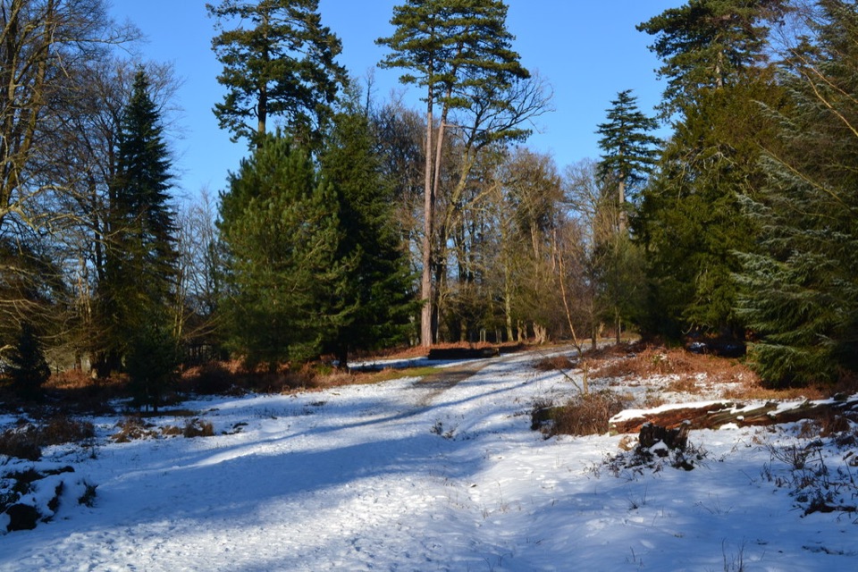
#8 of 70 trails in New Forest
New Forest National Park, EN
A short woodland loop to a stream and a deer viewing platform.
Overview
Map & elevation
Plan your hike

The highest, rockiest slopes around here are a summer buffet for grizzly bears.
New Forest Tour Guide
Parkwolf is a GPS audio tour guide for New Forest National Park. As you drive, it chimes in with what’s ahead: hidden gems, upcoming stops, history, geology, and wildlife, right through your car’s speakers.
Recorded for this trailhead
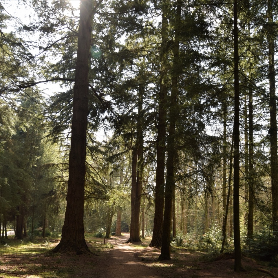
Bolderwood Woodland“You're coming up on Bolderwood, where Douglas firs planted in the 1860s tower above a set of short woodland walks.”
Plays as you drive up to this trailhead in the Parkwolf New Forest Tour Guide.
More stories near here in the app
“Fantastic app with many points of information… It’s great to just turn on while you’re driving and it gives you an audio tour of the national Park. We love it!!!!”


Trail guide
Radnor Trail is a 1.9-mile (3.1 km) loop from Bolderwood car park through ornamental woodland, past Bratley Water and back by the deer viewing platform. Allow about 50 minutes; the walk is waymarked and graded moderate. If you want a shorter outing, the same start has the 0.3-mile Deer Watch Trail and 1-mile Jubilee Grove Trail.
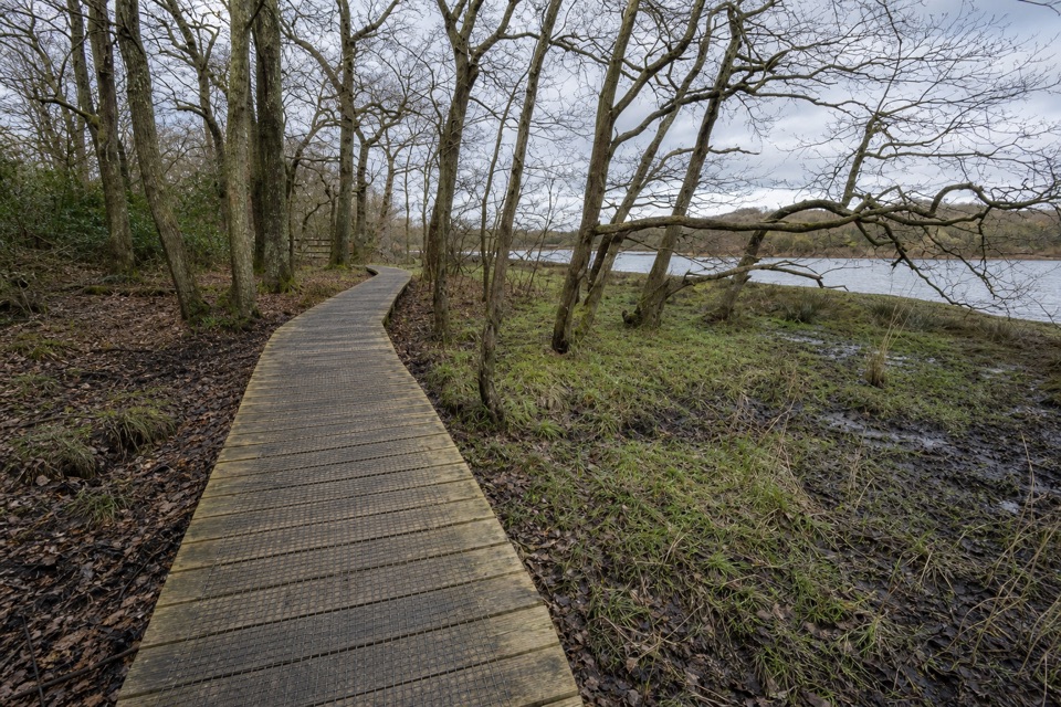
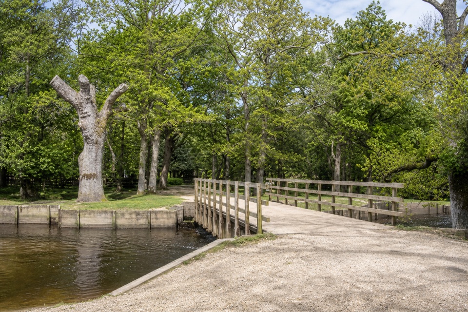
Go to the information point and picnic tables at the top end of the car park, pass through the small gate, and follow the red markers. After the Radnor Stone, the route threads through sweet chestnut, oak and beech, including trees dating from around 1860, then skirts the fenced edge of Mark Ash Wood and its pollarded beeches. The oak planting here has a naval story: acorns were planted in the 1700s to supply timber for the Royal Navy. The path drops into the damp valley of Bratley Water, which flows south to join Blackwater and the Lymington River system. Norway spruce planted in the 20th century grows in the valley bottom. There are places to pause by the stream for a picnic, then the loop climbs back toward the deer viewing platform.
Most of the track is moderately smooth gravel, but two short, fairly steep slopes make this more than a flat stroll. Resting places are frequent. Road crossings have gates on both sides, so take care and close them behind you. Toilets and picnic tables are at the start; the information unit opens during school holidays. Dogs may come, but keep them under effective control and use a short lead near animals. The deer viewing platform is a good place to watch or photograph fallow deer when they are in the field, though sightings are not guaranteed. Keep your distance and do not feed or touch the wildlife.
Wildlife
 28 sightingsRed DeerMost seen around 7 AMSighting map
 10 sightingsWhite-tailed EagleMost seen around 10 AMSighting map
 14 sightingsHarbor SealMost seen around 7 PMSighting map
 176 sightingsEuropean Fallow DeerMost seen around 7 PMSighting map
 93 sightingsWestern Roe DeerMost seen around 7 AMSighting map
 54 sightingsMute SwanMost seen around 6 PMSighting map
Sighting maps show where each species has been reported across New Forest. Wildlife moves, so no sighting is guaranteed.
Keep exploring
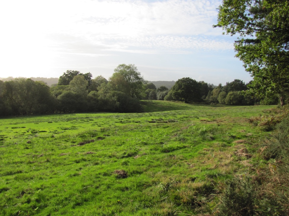 EasyJubilee Grove Trail1.6 km · 36 min · At the trailheadA mile through giant Douglas firs to the Bolderwood deer platform.
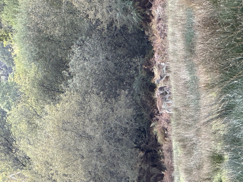 EasyDeer Watch Trail at Bolderwood0.5 km · 18 min · At the trailheadA gentle, yellow-marked loop to a forest-and-meadow viewpoint.
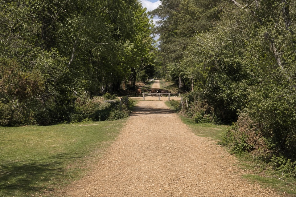 ModerateAnderwood Walk5 km · 1.5 hr · 3 km awayA short circuit between open heath, trees, and a stream.
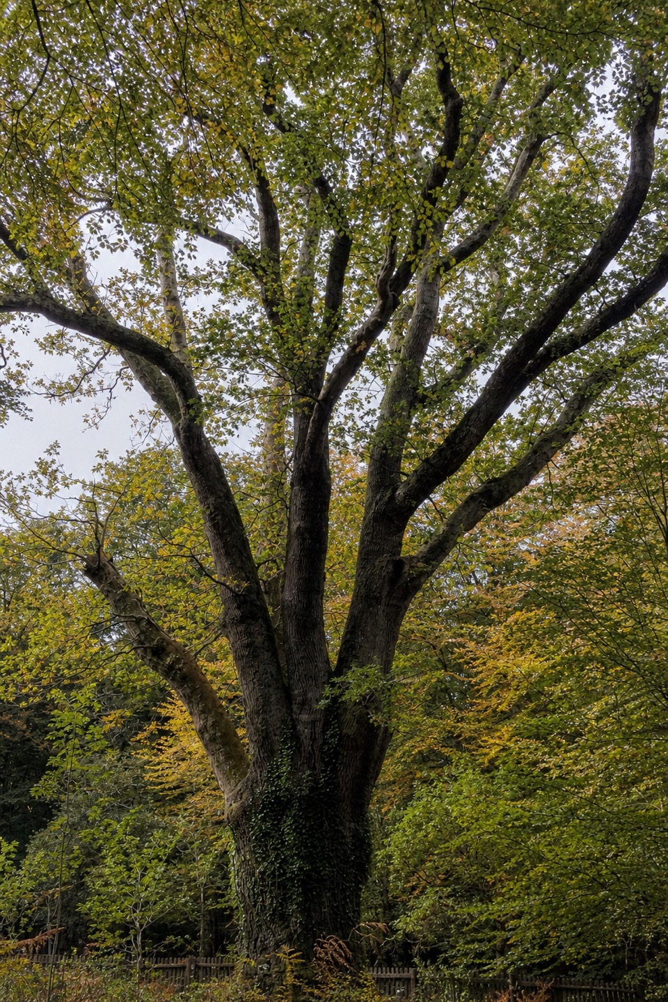 EasyKnightwood Oak Trail0.6 km · 15 min · 3.1 km awayA short, level walk to a famous pollarded oak.
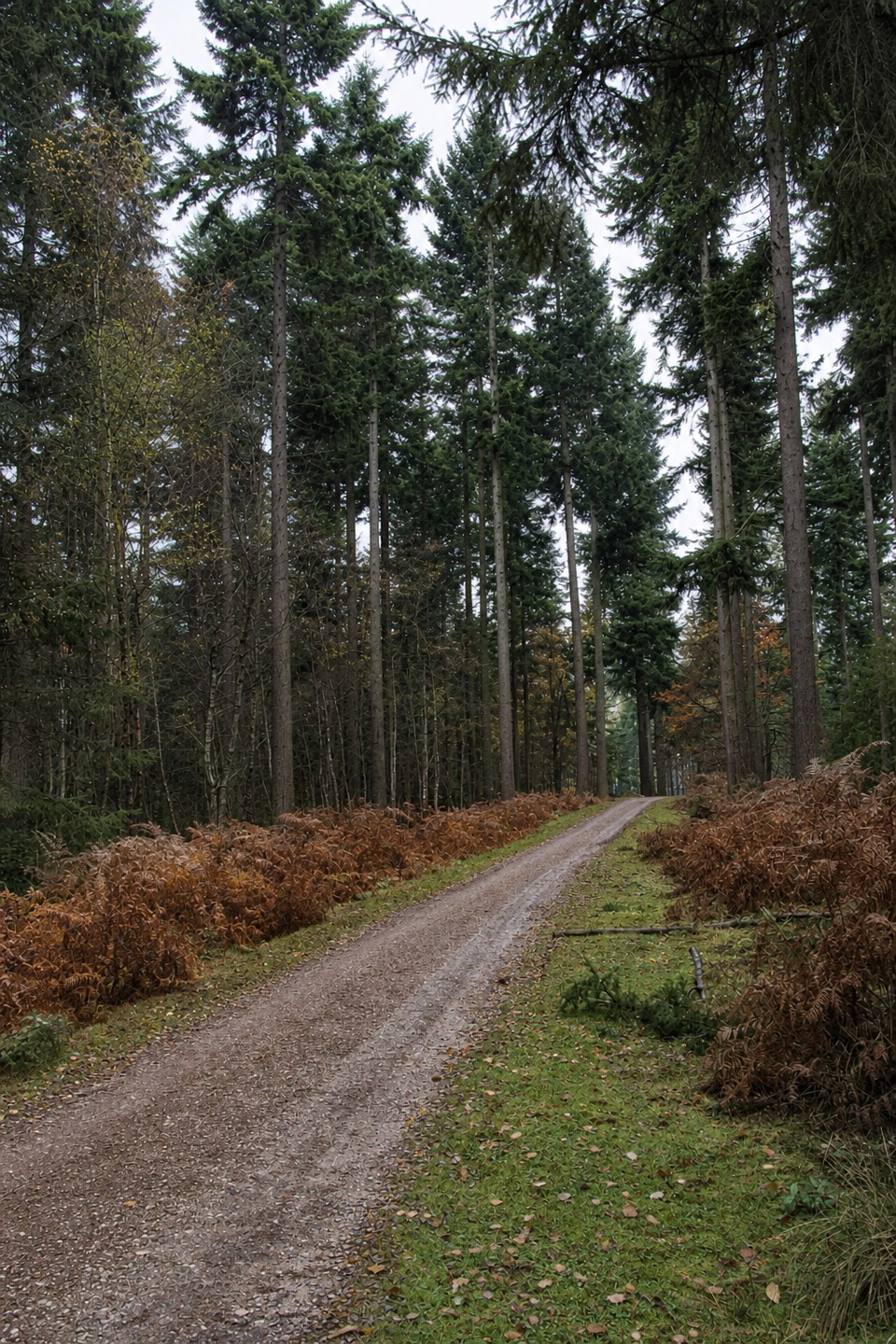 EasyDiscovery Trail at The Old Reptiliary1.8 km · 30 min · 3.1 km awayAn easy loop through tall firs, deadwood and a pond.
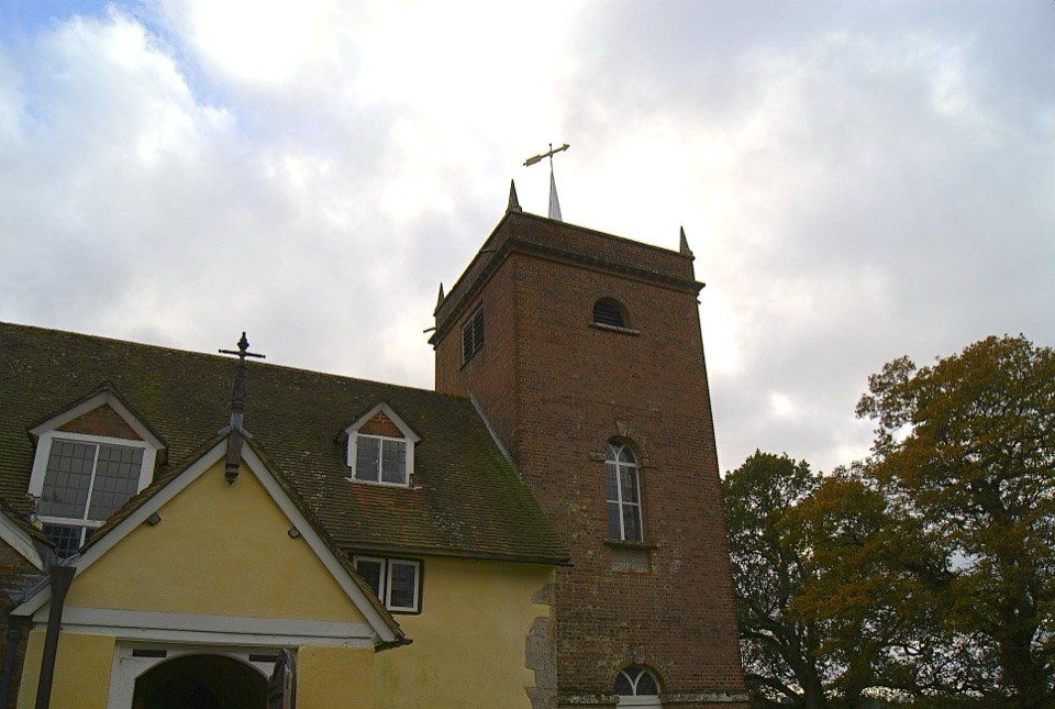 EasyMinstead Village Walk3.4 km · 1 hr · 4.5 km awayA quiet village loop with a church, fields and a ford.
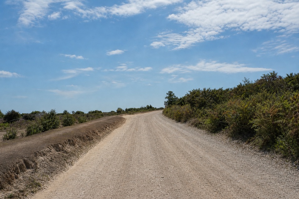 ModerateHigh Corner Walk5.6 km · 2 hr · 4.7 km awayA 3.5-mile woodland loop with the High Corner Inn along the way.
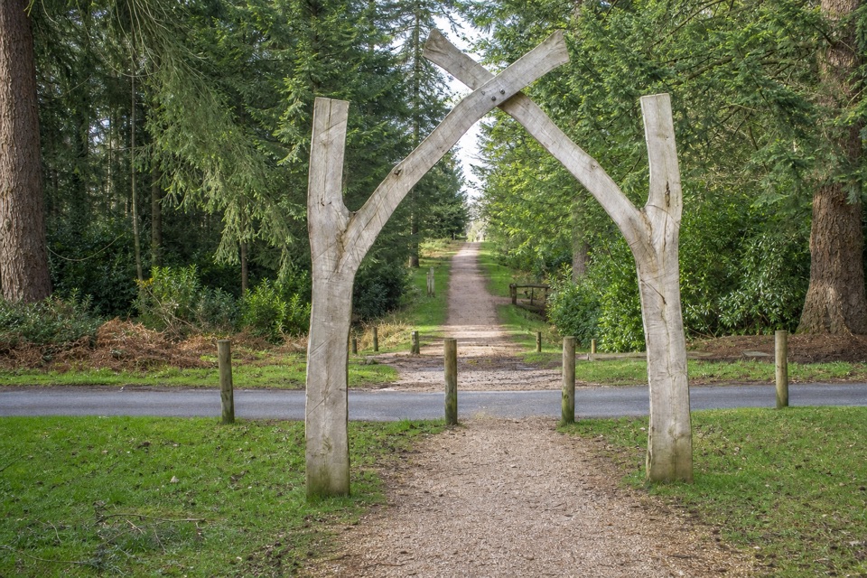 EasyBlackwater Tall Trees Arboretum Link1.8 km · 30 min · 4.7 km awayGiant sequoias and oak arches, with a short Tall Trees link.
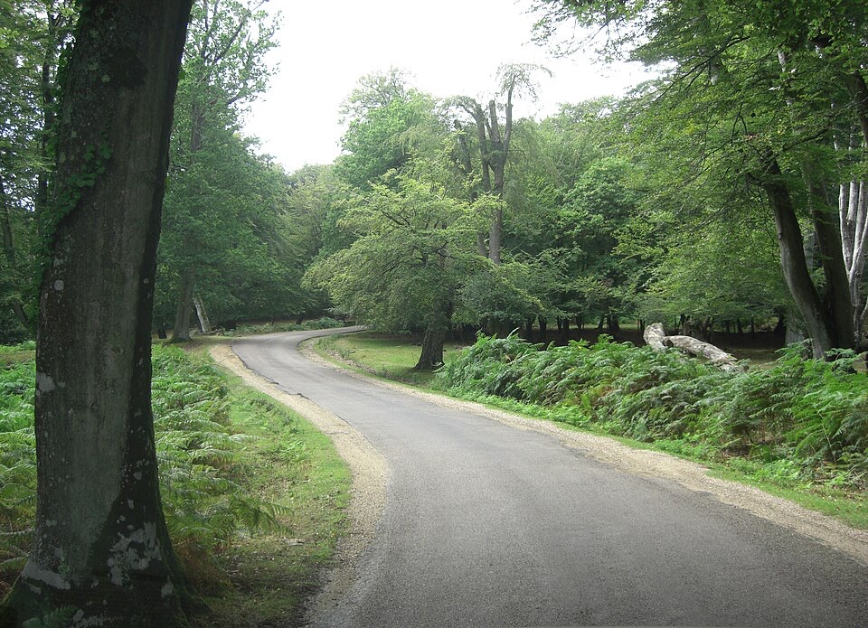 Sight · 0.4 km awayBolderwood ArboretumTowering Douglas firs, waymarked gravel trails and a deer viewing platform
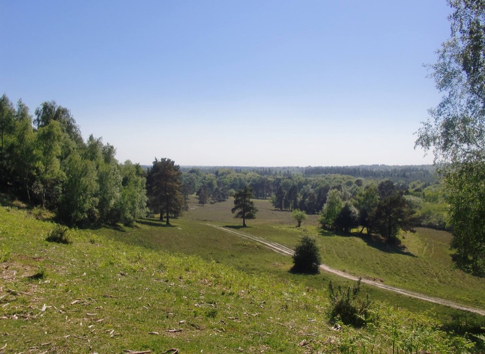 Sight · 2.8 km awayAcres Down ViewpointHeathland high point near 90m, with raptors and wide forest views
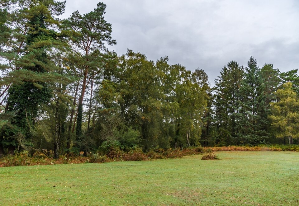 Picnic area · 3 km awayAnderwood Picnic AreaQuiet woodland clearing with picnic tables, parking and toilets
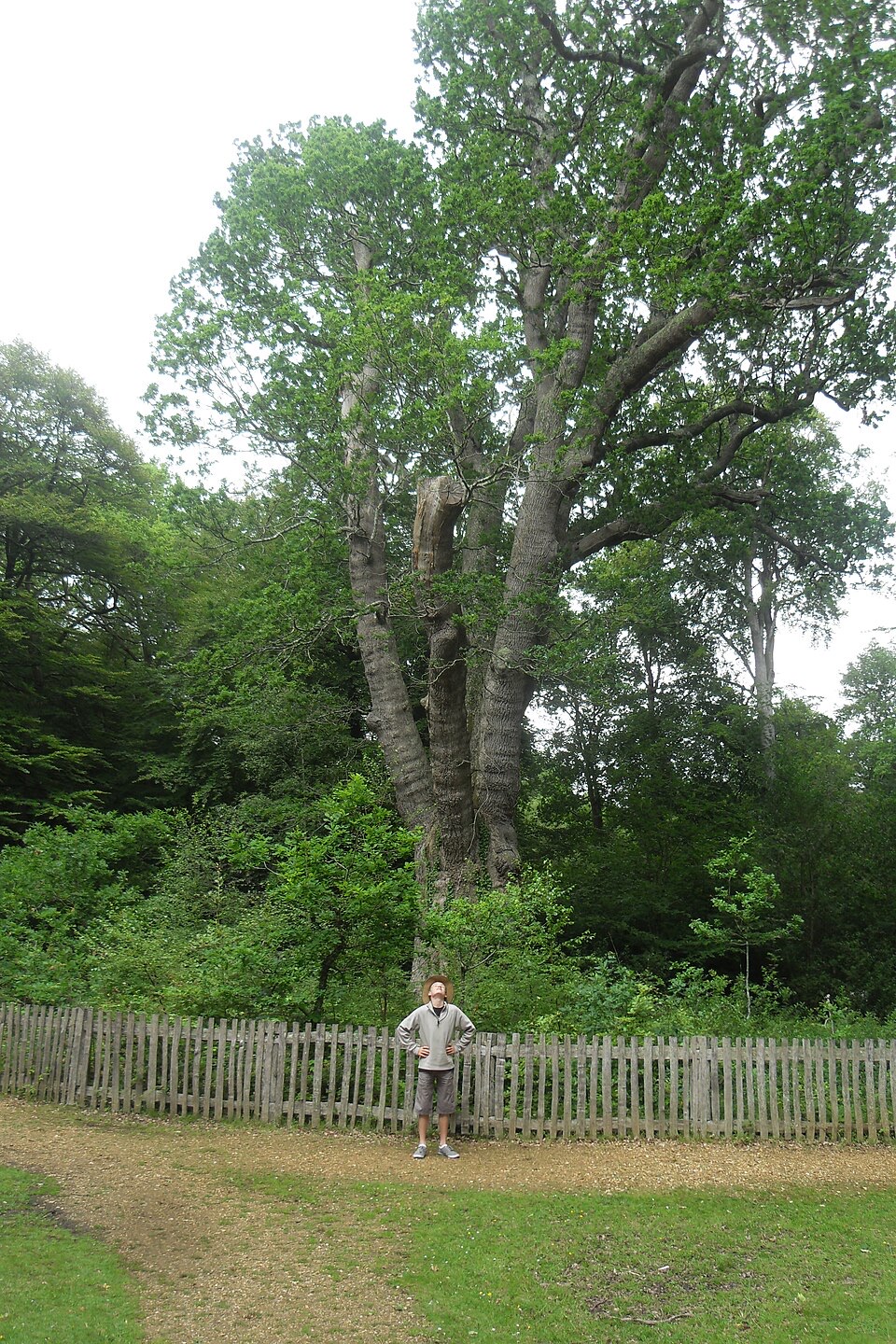 Sight · 3.1 km awayKnightwood OakA 500-year-old pollarded oak with a 7.4 metre girth
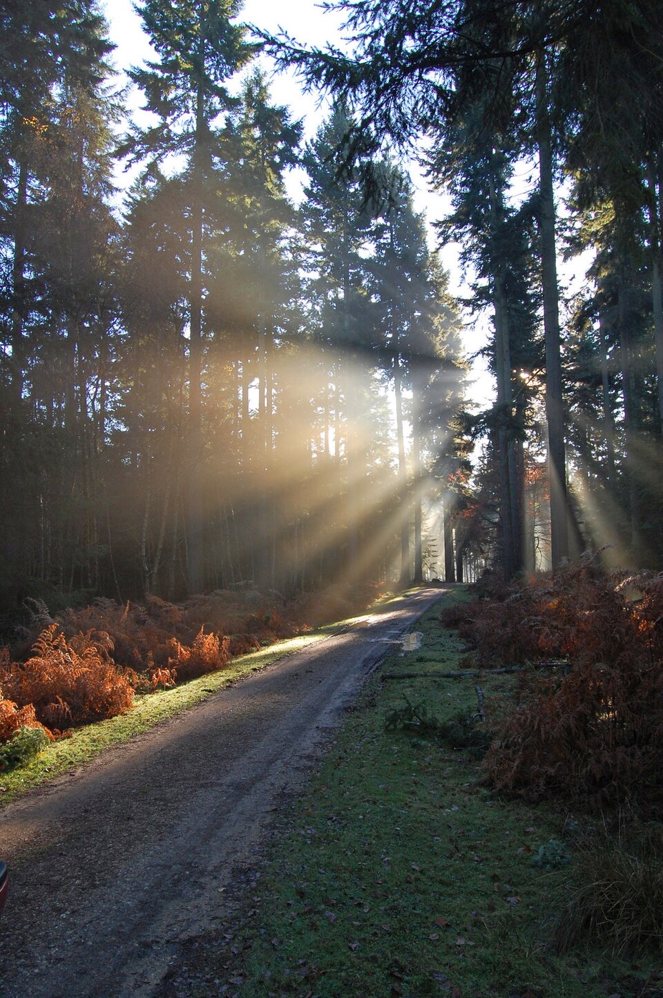 Sight · 3.1 km awayThe Old ReptiliaryShort waymarked woodland loop with picnic tables by the car park
 Campground · 3.4 km awayOcknell CampsiteSimple heath camping where free-roaming ponies graze past your tent
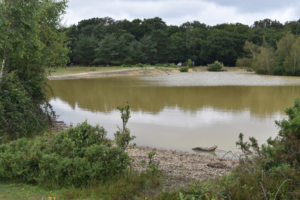 Sight · 3.8 km awayCadman's PoolSmall heath-edge pool with an easy 0.3-mile loop and picnic spots
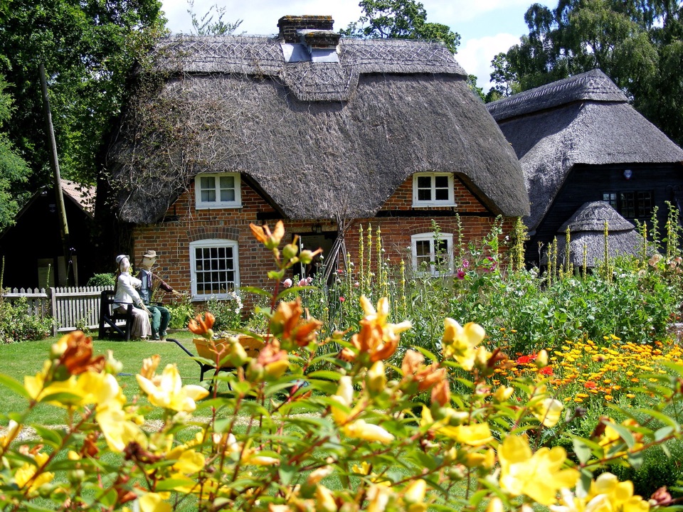 Sight · 4 km awayFurzey GardensHillside woodland garden with 40+ fairy doors and a thatched tea room
Parkwolf’s New Forest ranking

The audio tour guide for the drive, plus offline maps, trails, and wildlife heatmaps for when the signal drops.