Overview
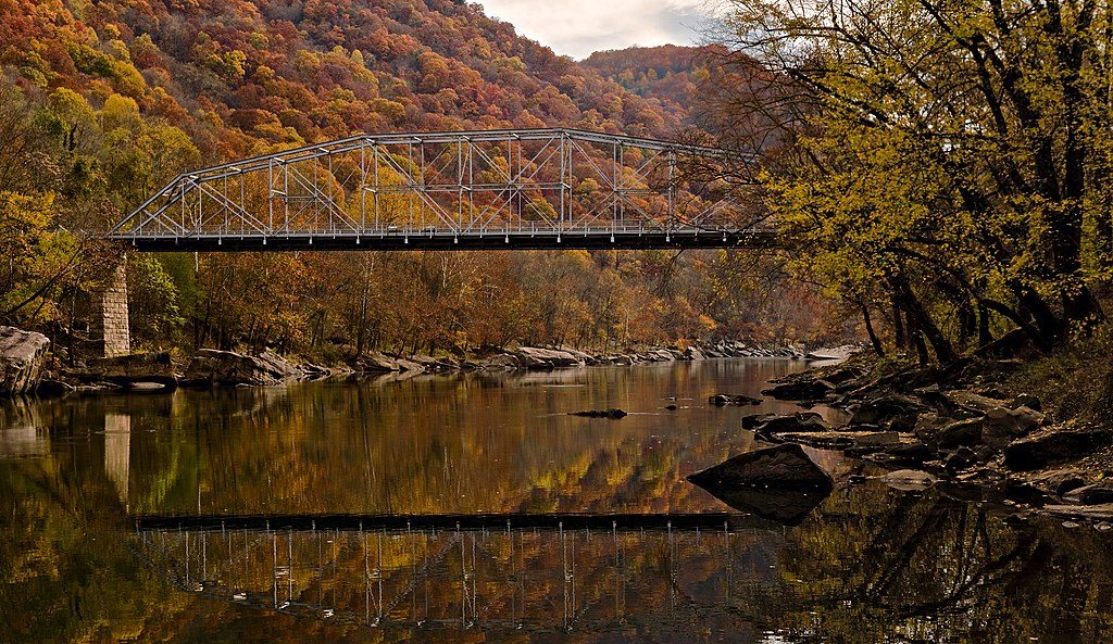
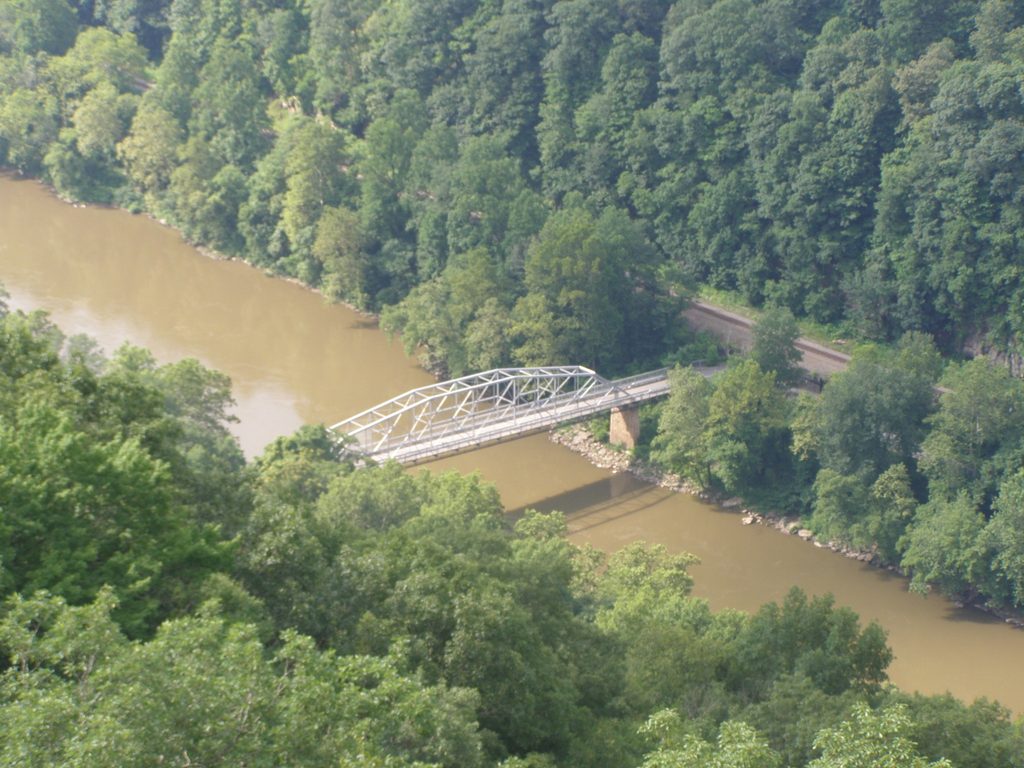
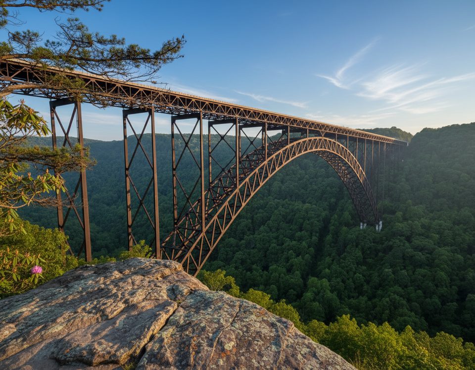
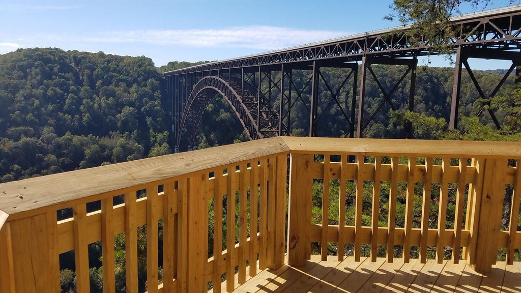
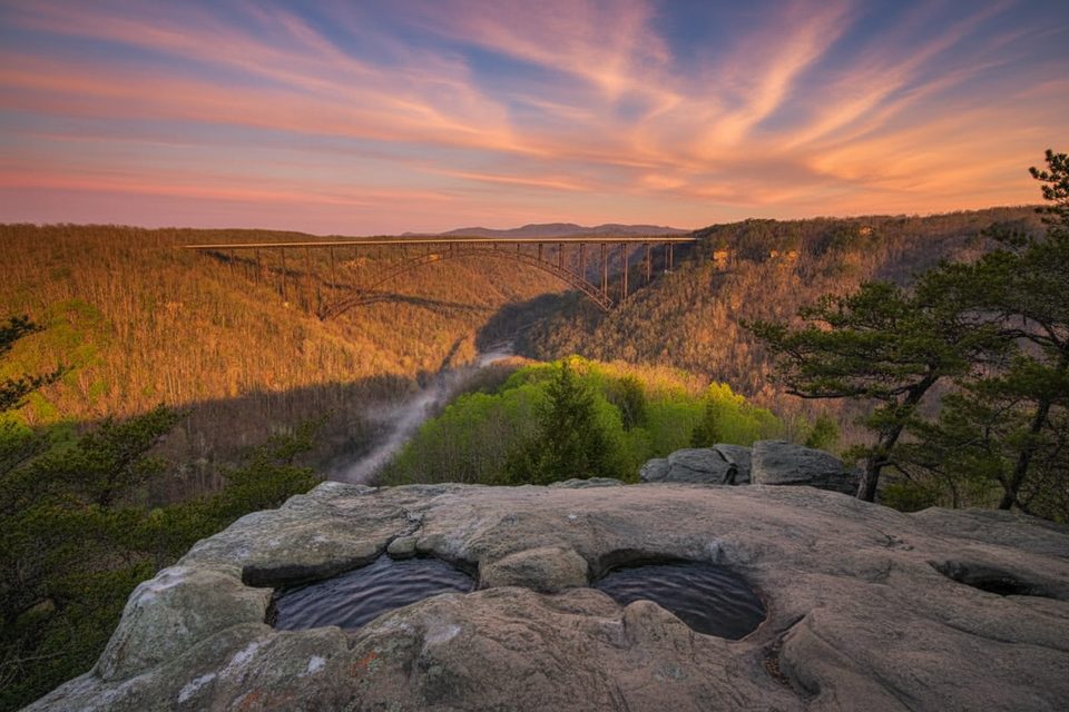
Fayette Station is the river-level heart of the gorge: a historic drive down into the canyon, a public river access, and the most dramatic look-up views of the New River Gorge Bridge. The Fayette Station Road loop winds to the bottom, crosses the old bridge at river height, and climbs back up—offering a completely different perspective than the rim overlooks.
What You’ll See
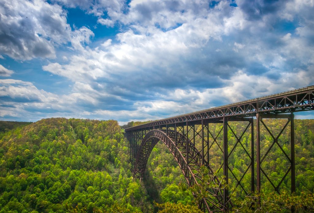
- Multiple pull-offs with signed waysides tell the story of coal towns, railroads, and the building of the high bridge.
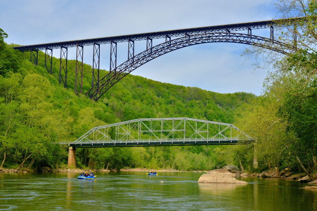
- You’ll pass under the big arch three times and, at river level, can watch rafters and kayakers thread the rapids.
- From the old bridge and adjacent shoreline, expect “look-up” shots that show just how massive the high span really is.
How to Do It
- Start near Canyon Rim Visitor Center and follow signs for the loop. Much of the descent is one-way; use pull-offs and drive slowly.
- Oversize/tall vehicles: a low-clearance railroad bridge means vehicles over 12 feet cannot complete the tour, and RVs/trailers aren’t recommended.
- Park in the designated lot beyond the old bridge, then walk back to the bridge’s pedestrian path for the best views. Don’t stop or park right at the bridge; use the lot.
- Download the free NPS audio tour before you go; cell service in the gorge is spotty and the narration syncs with pull-offs.
Amenities
- Parking at the bottom for river access and views.
- Vault toilets at the second parking area (typically available April–October). No running water—fill up at Canyon Rim before descending.
Trails and Nearby Stops
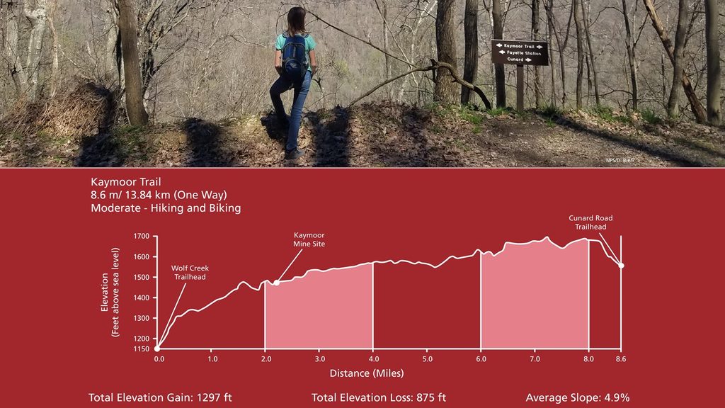
- Trail access intersects this road, including the Kaymoor Trail, Fayetteville Trail, and Bridge Trail. The Kaymoor Trail leads to Wolf Creek Falls and is notably steep with lots of stairs—budget energy for the climb back up.
History & Geology (in plain English)
- The “New” River is ancient. Over immense spans of time it cut down through about 4,000 feet of layered sandstones, shales, thin limestones, and coal deposited roughly 320–330 million years ago.
- Near the bridge, cliff-forming Nuttall Sandstone caps the rim, while coal seams appear far below—proof you’re driving through a classic Appalachian coal-bearing sequence.
- Between Hinton and Gauley Bridge the river drops ~750 feet, fueling the whitewater you’ll watch at Fayette Station and the gorge carving you’re standing inside.
Best Time to Visit
- Weekends see the heaviest mid‑day crowds at the river access, especially 1–4 pm. For lighter traffic and easier parking, go early or later in the day, or visit on weekdays.
- Allow 45–90 minutes for the loop, depending on photo stops and the audio tour.
Safety & Wildlife
- Drive cautiously on blind hairpins; some drivers miss one‑way signs. Trains run along both banks—heed all postings.
- The river’s currents can be swift; wade only in calm side channels where it’s clearly safe.
- Summer brings snakes to sun-warmed rocks at the water’s edge—watch pets and where you step.
- Black bears and other wildlife live here; keep your distance and never feed animals.