Pros & cons
PROS
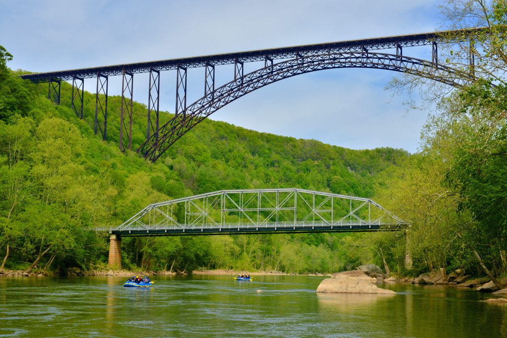
- Rare river‑level view of the New River Gorge Bridge
- Sidewalks along the one‑lane span for easy photo ops
- Often a good spot to watch rafters at Fayette Station Rapid
CONS
- No restrooms at river level near the bridge
- Narrow, winding scenic drive not suitable for large RVs or trailers
Overview
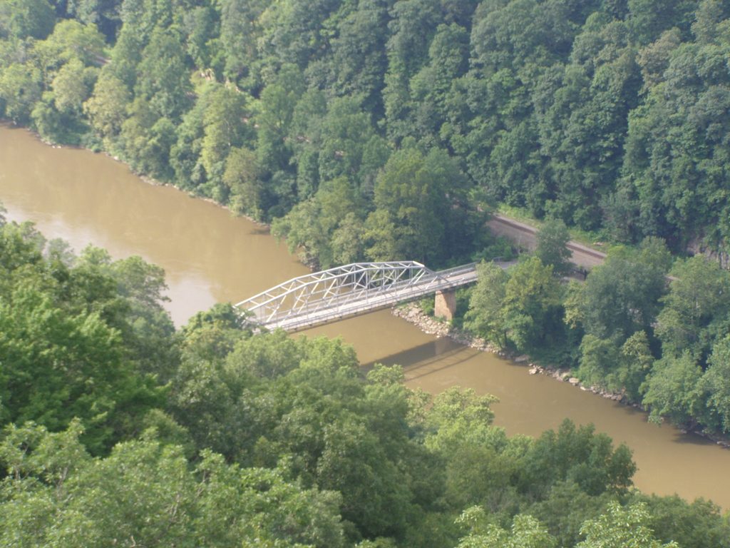
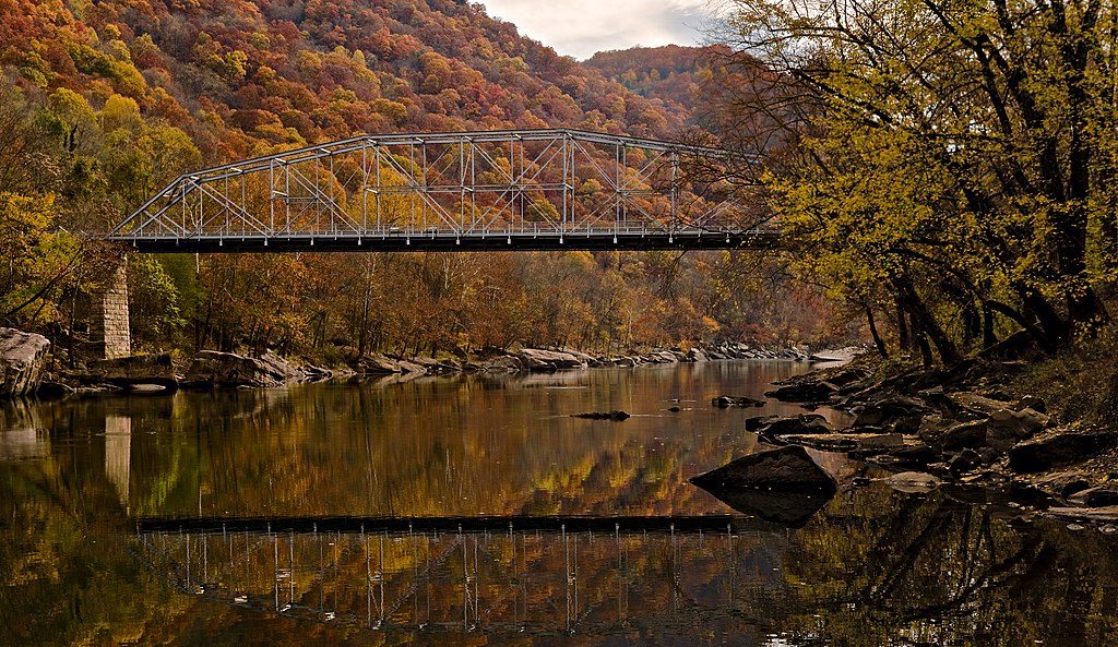
Formerly called the Fayette Station Bridge, the Tunney Hunsaker Bridge sits at river level at the bottom of the gorge. It’s the best place to look up at the massive New River Gorge Bridge from below, feel the scale of the canyon, and snap photos from the bridge’s walkways.
What You’ll See
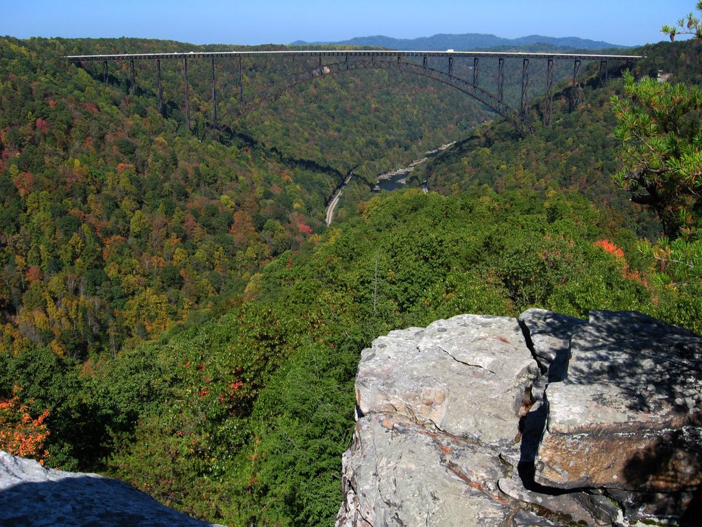
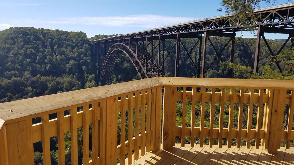
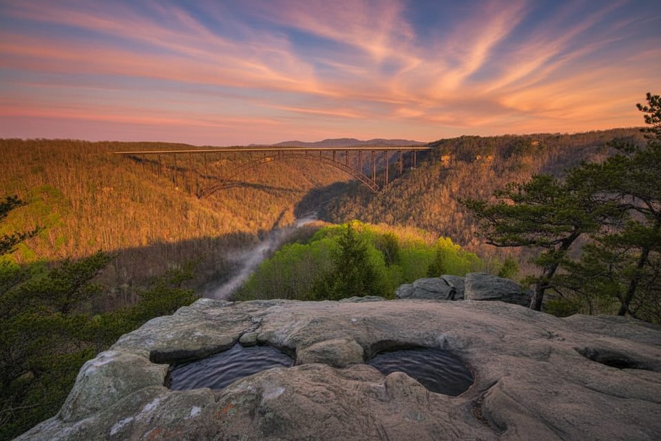
- A striking, head‑on view of the big arch upstream from just above the river.
- Rafting action at Fayette Station Rapid—fun to watch from the parking area or the sidewalks.
- A handful of interpretive signs and remnants from the coal‑era river corridor as you explore nearby stops on the drive.
Getting There
Reach it via the Fayette Station Road scenic drive, a historic, twisty descent from the rim that ducks under the big bridge multiple times, crosses the Tunney Hunsaker Bridge at the bottom, then climbs the opposite side. Plan 30–45 minutes without stops, longer if you’re hopping out for photos.
Parking, Access, and Safety
Don’t stop on the bridge—cross it and park just past the span at the river’s edge, then walk back onto the sidewalks for views. Portions of the route are one‑way with tight hairpins and a low‑clearance railroad underpass; trailers and large RVs aren’t recommended. There are no restrooms at the river; use facilities on the rim before you descend.
Quick History
The original bridge opened in 1889 to connect the Fayette and South Fayette communities. After decades of wear, it was extensively reconstructed in the late 1990s, retaining the classic truss look but with modern materials and added sidewalks. It was renamed to honor Tunney Hunsaker, Fayetteville’s longtime police chief and the first professional opponent of Muhammad Ali.
Photography Tips
Best compositions are from the bridge’s walkway looking upriver to the arch, from pull‑offs directly beneath the big bridge, and from the riverbank near the rapid. Midday can light the arch nicely; fall color adds drama everywhere.
Best Time to Visit
Weekday mornings are the quietest for lingering on the sidewalks. For softer light, aim for early or late day; fall is particularly gorgeous. Expect heavy crowds around the third Saturday in October during Bridge Day, when the big bridge becomes the center of attention.
Where it is
38.0648, -81.0771Tips for Tunny Hunsaker Bridge
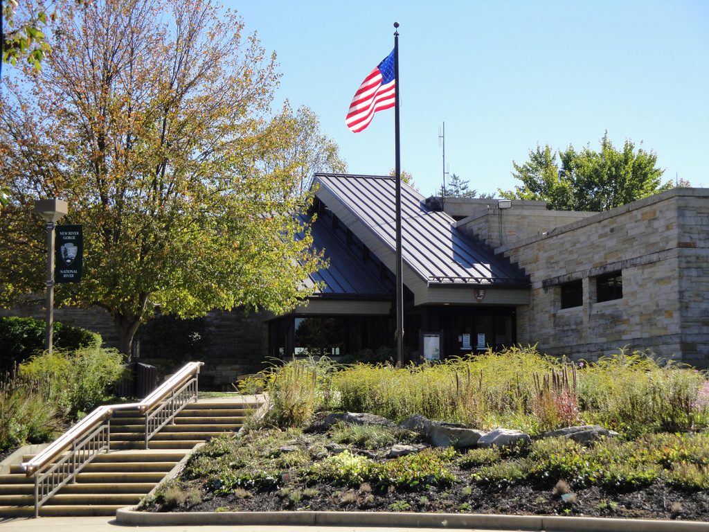
- 01Start from Canyon Rim Visitor Center and follow the signed Fayette Station Road loop.
- 02Park just past the bridge and walk back onto the sidewalks for the best angles.
- 03Avoid large RVs, trailers, and tall vehicles due to tight hairpins and low clearance.
- 04Download the park’s audio tour and offline maps—cell service is spotty in the gorge.
- 05Use restrooms on the rim before you descend; there are none at river level.
Amenities
Near Tunny Hunsaker Bridge
All places →All trails →
0.2 mi awayFayette Station Bridge (Tunney Hunsaker Bridge)Historic one-lane span with big river and bridge viewsScenic Viewpoint · Parking
0.2 mi awayFayette StationRiver level bridge views on a twisty historic gorge drivePullout · Restroom
0.3 mi awayLong Point OverlookHead-on bridge view after a short, shady hike to a rocky pointTrailhead · Parking
0.4 mi awayCanyon Rim BoardwalkTwo quick overlooks with the park’s best bridge views. Count the stairs.Easy · 0.4 mi · 18 min
0.4 mi awayCanyon Rim Visitor CenterBridge-front boardwalk, exhibits, and the go-to first stopVisitor Center · Exhibit
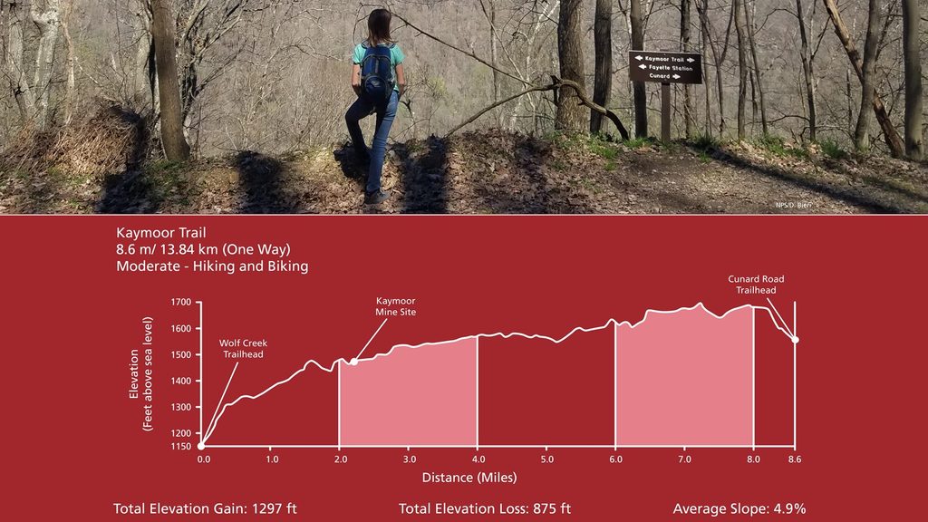
0.4 mi awayKaymoor TrailLong, history-rich path with optional 821-step plunge to the mineModerate · 8.6 mi · 6.2 hr
0.6 mi awayBurnwood TrailCenturies old forest loop hiding in plain sight near the bridgeEasy · 1.2 mi · 45 min
0.6 mi awayTimber Ridge TrailShady, bike friendly woods link into Fayetteville’s quiet networkEasy · 1.8 mi · 42 min