
Place · 0 mi away
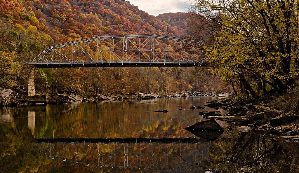
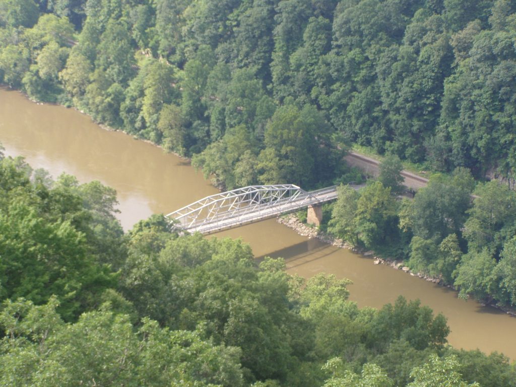
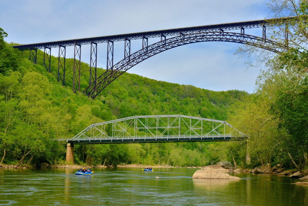
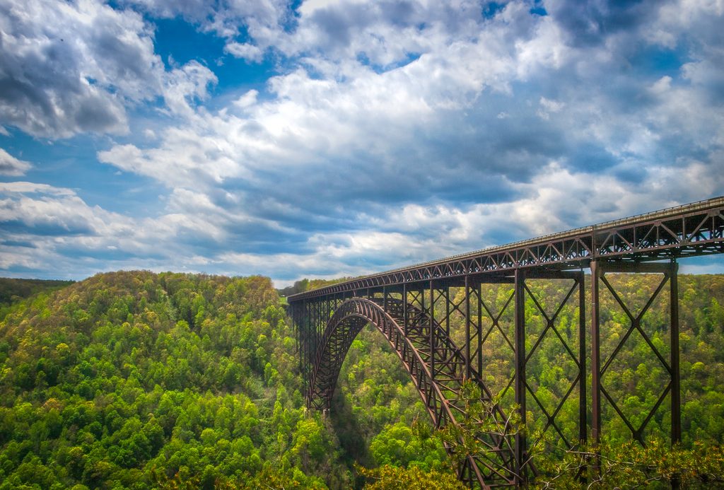
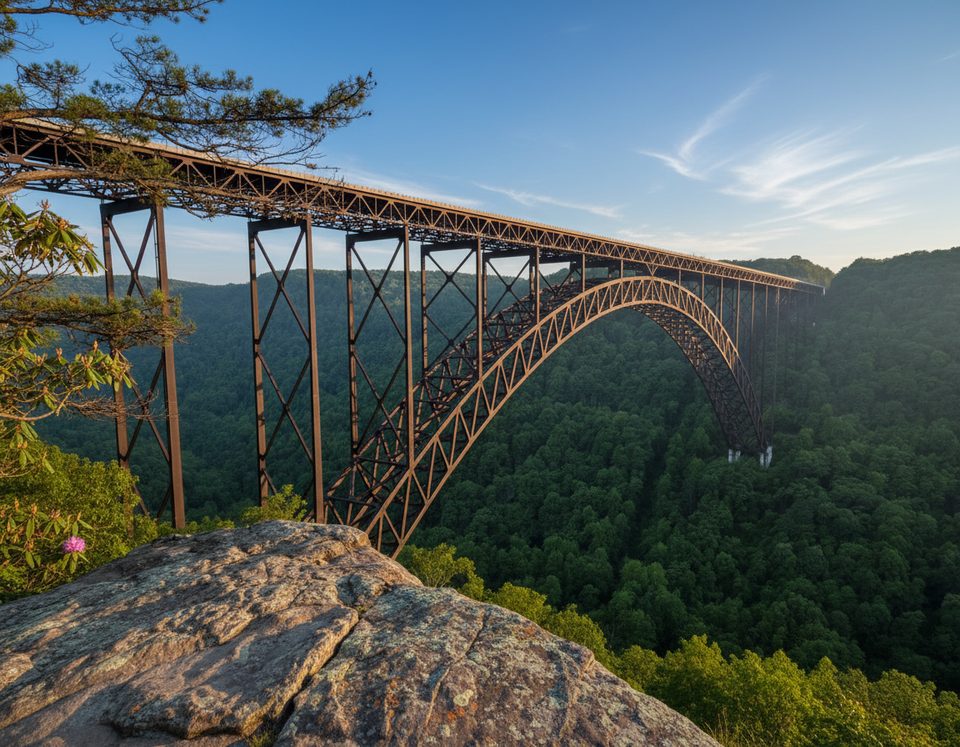
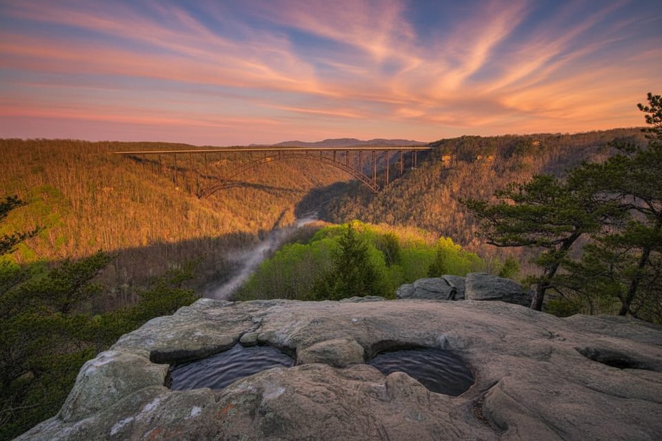
This is the park’s historic river-level crossing—an 1889 single‑lane truss rebuilt in the late 1990s and renamed for local figure Tunney Hunsaker. It sits at the bottom of the gorge and serves as the centerpiece of the Fayette Station Road driving tour, giving you that jaw‑up view of the much larger New River Gorge Bridge soaring above.
Walk the sidewalks on both sides of the span to watch the New River roll by and to frame both bridges in a single shot. Downstream are the Fayette Station Rapids, a favorite stretch for whitewater trips—you’ll often see rafts threading the waves from the parking area near the bridge.
The bridge is reached via the 8‑mile Fayette Station Road heritage drive, which drops from the rim, passes under the New River Gorge Bridge multiple times, crosses the Tunney Hunsaker Bridge at river level, then climbs the opposite side. It’s narrow, winding, and partly one‑way. Vehicles over 12 feet can’t complete it due to a low railroad underpass, and large RVs or trailers are not recommended.
Do not stop on the bridge. Instead, park a few hundred yards past it at the Fayette Station parking area and walk back on the sidewalks for the best angles of the bridges and the river. Expect just small pull‑offs at the bottom of the gorge; turnover is helped by keeping stops short.
Completed in 1889 as the first bridge to span the New River inside the gorge, it linked the coal communities on each side. After the high‑level New River Gorge Bridge opened in 1977, the old crossing closed, then was largely reconstructed and reopened two decades later with added pedestrian walkways—more a near‑replica than a traditional rehab—honoring Tunney Hunsaker in its new name.
Weekdays see lighter traffic on the heritage drive. Early morning and late afternoon offer softer light on the truss and the big bridge overhead. Download the NPS Fayette Station Road audio tour before you descend; cell service is spotty in the gorge. There are no restrooms at the bridge; plan a stop at Canyon Rim Visitor Center on the rim before or after.
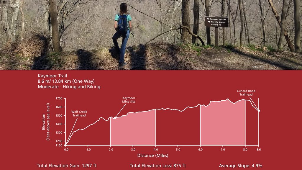
From the drive you can access short walks to river viewpoints, the Fayette Station Rapids area, and trailheads like the Bridge Trail or Kaymoor corridor for mining history and more bridge perspectives.
Place · 0 mi away
Place · 0.2 mi away
Place · 0.4 mi away
Place · 0.4 mi away
Easy · 0.4 mi away
Moderate · 0.5 mi away
Easy · 0.6 mi away
Easy · 0.6 mi away

Parkwolf Tour Guide
