Place · 0.2 mi away
Moderate

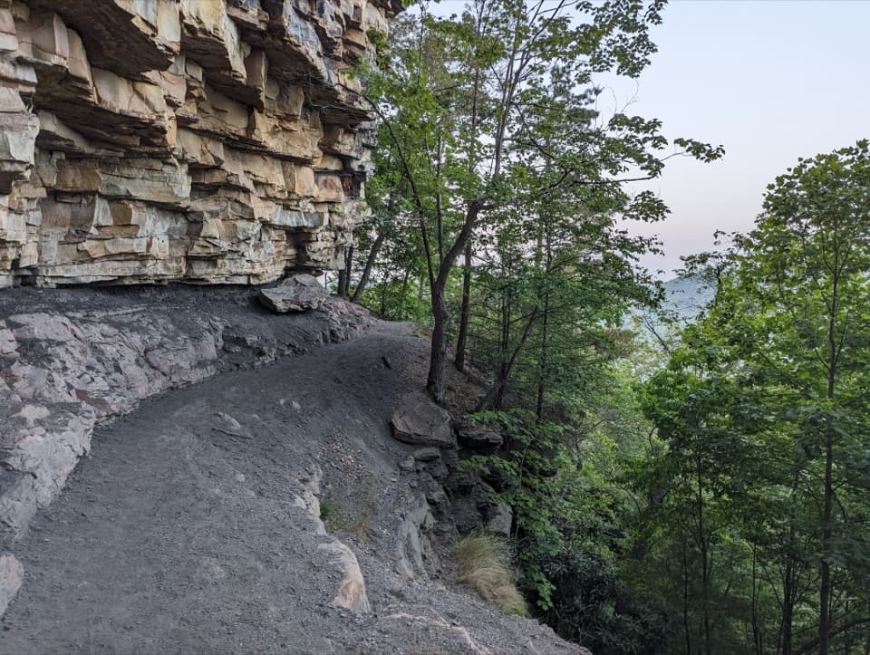
Kaymoor Trail is a long, mostly moderate forest traverse that threads the history of the Kaymoor coal community into a real hike. Officially 8.6 miles one way, it follows old road grades with a steady, sometimes rolling profile (about a 4.9% average slope). Expect a shady, often quiet walk with wayside exhibits about the mine and the people who lived here. It’s not a view-chasing ridge hike—this one’s about atmosphere, history, and a big sense of place.
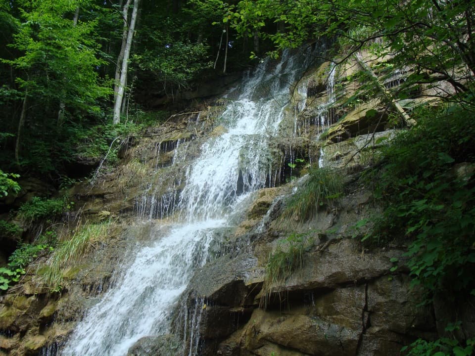
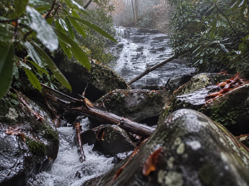
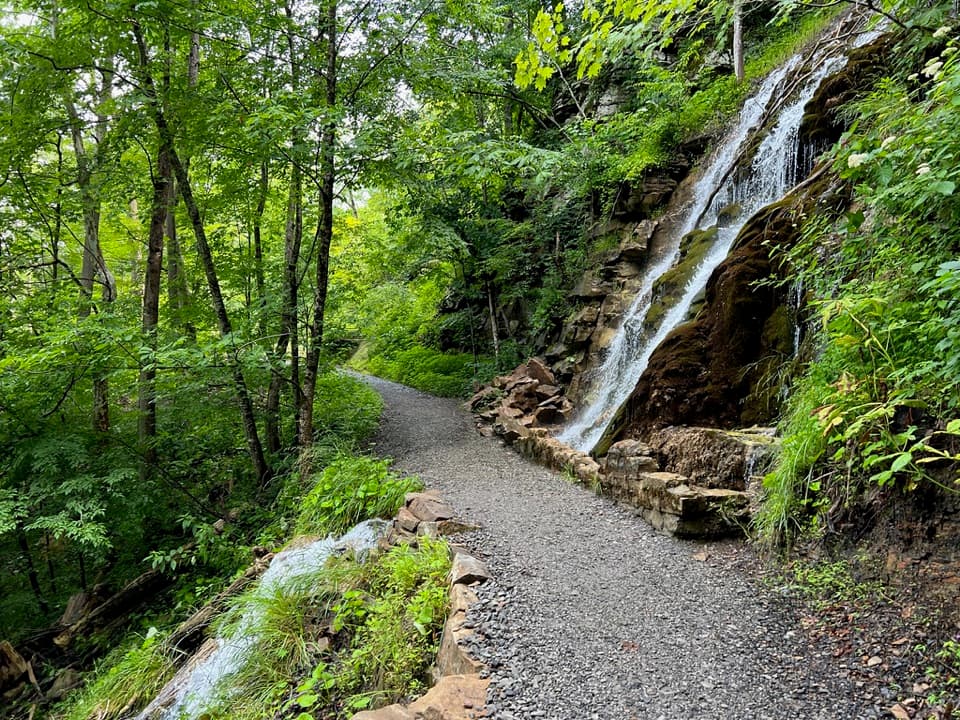
North sections track an old road bench through mixed hardwood forest, with interpretive panels that bring the mine era to life. You’ll pass junctions for Craig Branch and, notably, the Kaymoor Miners Trail—the steep spur that drops to the mine ruins. Some hikers report waterfalls and occasional gorge peeks along approaches; the prize “structures” are at the mine sites themselves, which are fenced for safety but well interpreted. Respect closures and enjoy the site from designated viewpoints only.
The famous 821-step staircase is not on the main Kaymoor Trail—it’s on the Kaymoor Miners Trail spur. Tack it on if you want the full mine experience, but know that the descent (and climb back out) is genuinely strenuous. The upper approach to the stairs can be rocky with some drop-offs and gets slick after rain. Landings help, but it’s a workout that turns a moderate day into a hard one for most people.
Popular combos link Kaymoor with Craig Branch or Long Point for a satisfying loop. If you want the history with fewer stairs, consider visiting the upper historic area and skipping the full staircase.
The main trail is moderate: long but not technical. Add the Miners spur and it becomes difficult due to the grade and stairs. Good footwear is essential; trekking poles help on the rocky, loose sections. Start early, carry plenty of water, and pace yourself on the stairs.
Northern (Wolf Creek) access is reached via Fayette Station Road at the bottom of the gorge (very limited parking). Southern access comes in from Route 16 > Gatewood Road > signed turns for Cunard; look for parking along Cunard River Access Road. Trail signage also points to connections with Craig Branch and the Miners Trail.
Year-round, but avoid or be extra cautious after heavy rain—mud and slick rock are common. Mornings are cooler and quieter, especially if you plan to tackle the stairs. Weekdays see fewer crowds. Check for any posted maintenance closures on the stair section before committing to the Miners spur.
Two primary access points: (1) Wolf Creek (north end) via Fayette Station Road at the bottom of the gorge—very limited roadside pullouts near the trailhead; (2) Cunard Road access (south end) from Route 16 > Gatewood Road > signed turns for Cunard, then 0.5 mi to parking on the right along Cunard River Access Road.
Steep, rocky footing with drop-offs near the Miners spur; very slick when wet. The staircase is 821 steps—strenuous on the return. Historic structures are fenced and unsafe to enter. Active railroad at river level—no trespassing. Possible weekday closures on the stair section for maintenance; check status before you go.