
Place · 0.2 mi away
Easy
Timber Ridge is a short, easy woods walk that doubles as a bike‑legal connector in the Fayetteville area of the park. It follows an old roadbed for 1.0 mile one way. Most folks do it as a 1.8‑mile out‑and‑back with about 160 feet of gentle gain. Think quiet forest, easy grades, and a straightforward tread—more of a link into bigger adventures than a standalone destination.
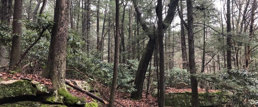
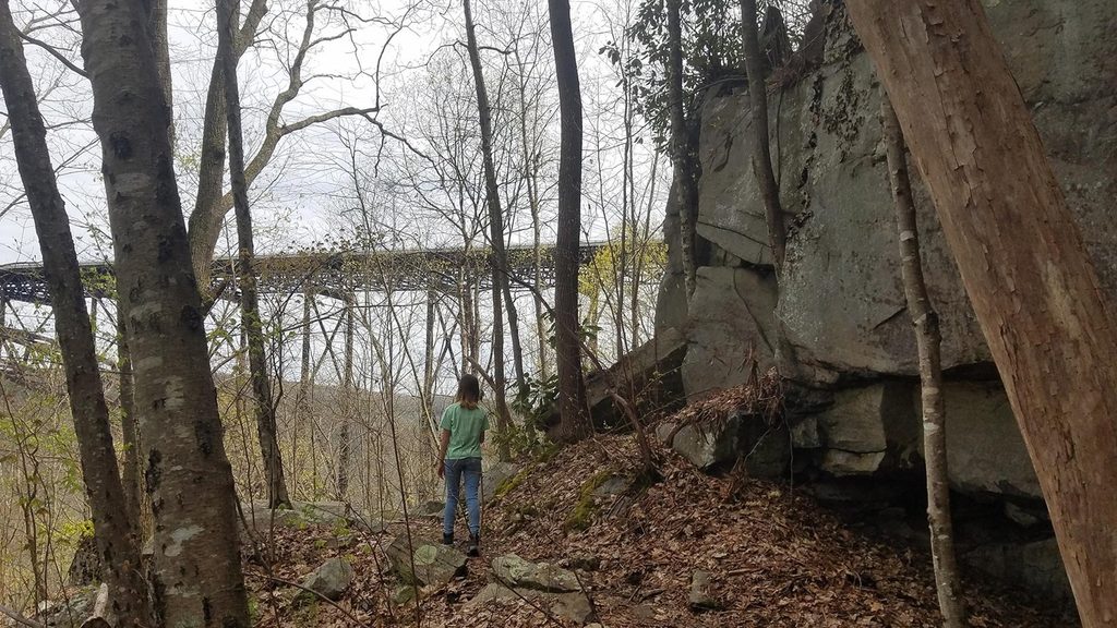
Expect a peaceful, shaded corridor through upland hardwood forest, with rhododendron thickets that glow in late spring. The tread is dirt and sand with roots, and it can be muddy after rain. Near Wolf Creek, hikers mention small “watering holes” and slick rocks—pretty spots to pause, not places to drink from unless treated. As you tie into the Fayetteville Trail, you may catch glimpses toward cliffs and the river, but this route is mostly about the woods.
Grades are mellow and the path is well defined, making this an easy choice for newer hikers, families, or anyone wanting a low‑key leg‑stretcher. It’s open to both hiking and biking, so be ready to share the corridor. Dogs are allowed on leash. If you’re chasing big overlooks, pick another route; if you want a quiet forest stroll or a building block for a longer loop, this fits nicely.
From US‑19, head south on WV‑16 through Fayetteville, turn left on Gatewood Road (signed for Kaymoor/Cunard) and drive 2.0 miles. Turn left on Newton Road; the trail starts about 50 yards up on the left. There’s parking and a vault/pit toilet at the trailhead area.
Open year‑round, day or night. Late spring brings those rhododendron blooms, and the shaded forest helps in summer. After wet spells, expect mud. Crowd levels are generally low compared to the park’s headline hikes, making it a good choice on busy weekends.
You’re skirting the rim of one of the world’s oldest river gorges, carved over millions of years into hard sandstones and shales. Outcrops and nearby cliffs expose rock layers that date back hundreds of millions of years, a reminder that even a mellow forest stroll here sits atop deep geologic time.
Small parking area on Newton Road; trail begins ~50 yards up on the left. Vault/pit toilet at the trailhead.
Rooty, muddy sections and a short hill on the return; shared with bikes; slick rocks near watering holes—treat all water before use; keep pets leashed and respect private property boundaries.
Place · 0.2 mi away
Place · 0.2 mi away
Place · 0.2 mi away
Place · 0.2 mi away
Easy · 0 mi away
Easy · 0.3 mi away
Moderate · 1 mi away
Moderate · 1.1 mi away

Parkwolf Tour Guide
