
Place · 0.2 mi away
Challenging
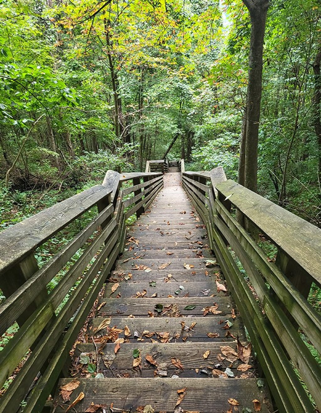
If you like your hikes steep, historic, and a little gritty, this one delivers. The Kaymoor Miners Trail drops roughly 900 feet from the rim through shady forest to the old Kaymoor mine site, then continues down a famous staircase of 821 wooden steps to processing ruins near river level. It’s strenuous and straight‑to‑the‑point: 1.0 mile one way (about 2.0 miles round trip) if you descend the full stair section, with every foot of descent paid back on the climb out.
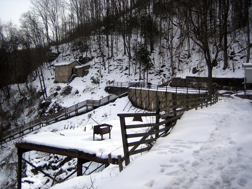
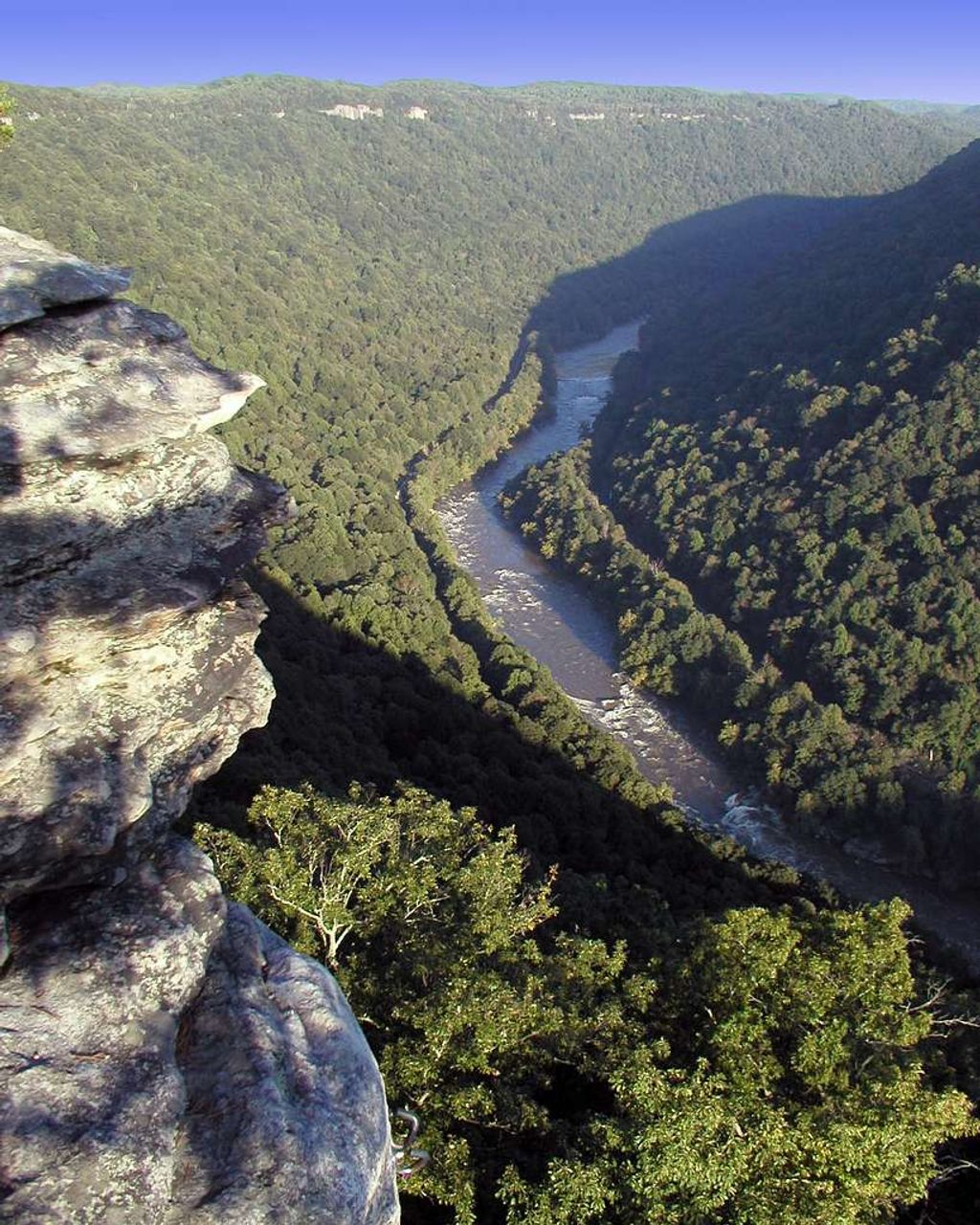
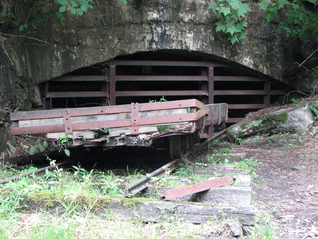
You’ll start on rocky switchbacks to the mine level, where interpretive signs and artifacts set the scene—expect a sealed mine portal with a rusted car, small cinderblock buildings, and other remnants. A short spur view appears about 0.2 miles from the top. Below the mine, the staircase tracks the old haulage line, passing more relics before reaching the processing plant, coke ovens, and townsite ruins. Do not enter structures; they’re unstable. The official trail ends above the active railroad near river level—do not walk on or cross the tracks. Seasonal waterfalls add some sparkle after rains, and there are occasional looks across the gorge.
This is a quad‑burner even for fit hikers. The return climb is all stair work, often humid, and can feel endless. Sturdy shoes are a must; rocks and steps get slick with rain, mud, or leaves. Bring more water than you think you’ll need—there’s no potable water on the trail. Poles help on the descent and the long staircase back up. Dogs are allowed on leash.
Total distance is about 2.0 miles round trip if you go from rim to bottom and back; many hikers turn around at the mine level to shorten the effort. Parking is at Kaymoor Top via WV‑16 > Gatewood Rd > Kaymoor No. 1 Rd; the lot is small and tight for large vehicles. There are pit toilets at the trailhead, but no water. No fees or permits are required for this hike.
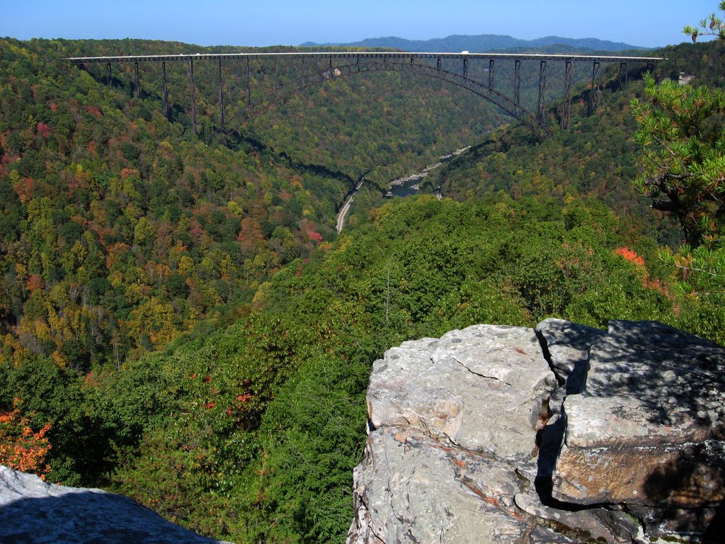
Start early to beat heat and crowds—weekend mornings in spring and fall are ideal. In summer, shady forest helps but the climb out can be sweltering; mornings or cool, dry days are best for traction and comfort. The upper portion of the trail may be closed Monday–Thursday from June 30 through November 14 for maintenance; check current status before you go. If you want a longer day, pair this trail with Long Point or Endless Wall for big bridge views and an entirely different vibe.
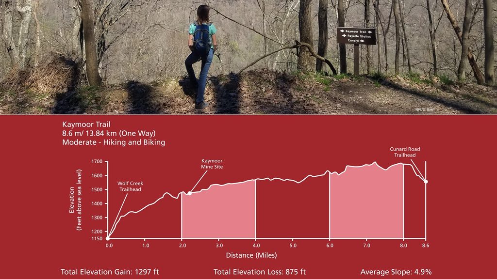
An alternate approach comes from the Kaymoor Trail at the mine level, where you can choose to tackle the 821 steps without doing the full rim descent. If you’re here for views more than history and stairs, Long Point and Endless Wall offer grand vistas with less relentless climbing.
Kaymoor Top lot: from US 19 take WV 16 through Fayetteville, left on Gatewood Rd for ~2 miles, left on Kaymoor No. 1 Rd, go ~1 mile to a T and turn left; parking is 50 yards on the right. Small, narrow lot; pit toilets, no water. Free parking.
Very steep with 821 steps; rocks and wood slick when wet. Do not enter structures. The railroad at the bottom is active—do not cross. Upper section may be closed Mon–Thu from June 30–Nov 14 for maintenance. Heat and humidity amplify the climb; carry ample water and check for ticks.
Place · 0.2 mi away
Place · 0.7 mi away
Place · 0.8 mi away
Place · 0.8 mi away
Easy · 0 mi away
Moderate · 0.1 mi away
Moderate · 0.6 mi away
Moderate · 1.2 mi away

Parkwolf Tour Guide
