Moderate

Fayetteville Trail

Shaded connector with Wolf Creek, Long Point access, and rolling climbs
Fayetteville Trail, New River Gorge National Park
Distance7.9 mi
Typical time3.8 hr
DifficultyModerate
PetsAllowed

Overview

The Fayetteville Trail is a multi-use (hike/bike) connector that strings together the Fayetteville–Kaymoor–Fayette Station corner of New River Gorge. It’s 3.96 miles one way (about 7.9 miles out-and-back) with steady, rolling ups and downs, a creek crossing, and plenty of shade. Expect a moderate-to-strenuous feel over the full out-and-back, with roughly 1,400 feet of cumulative gain.

Why hike it

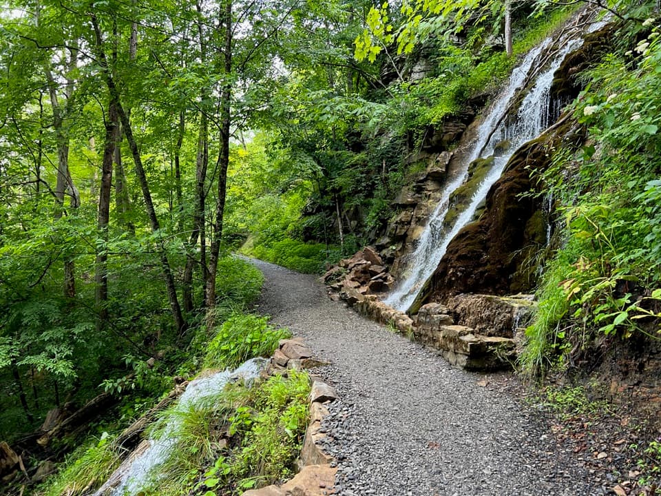
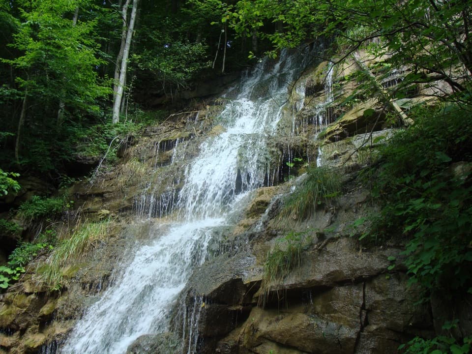
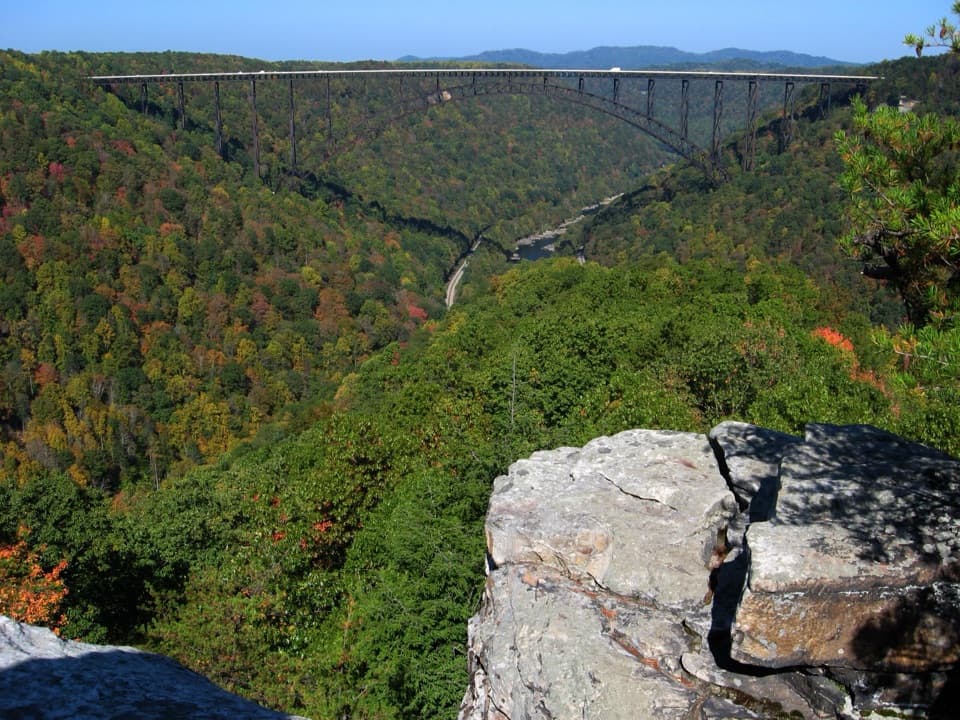
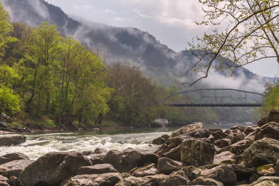
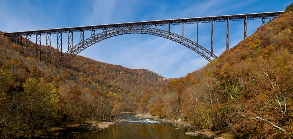
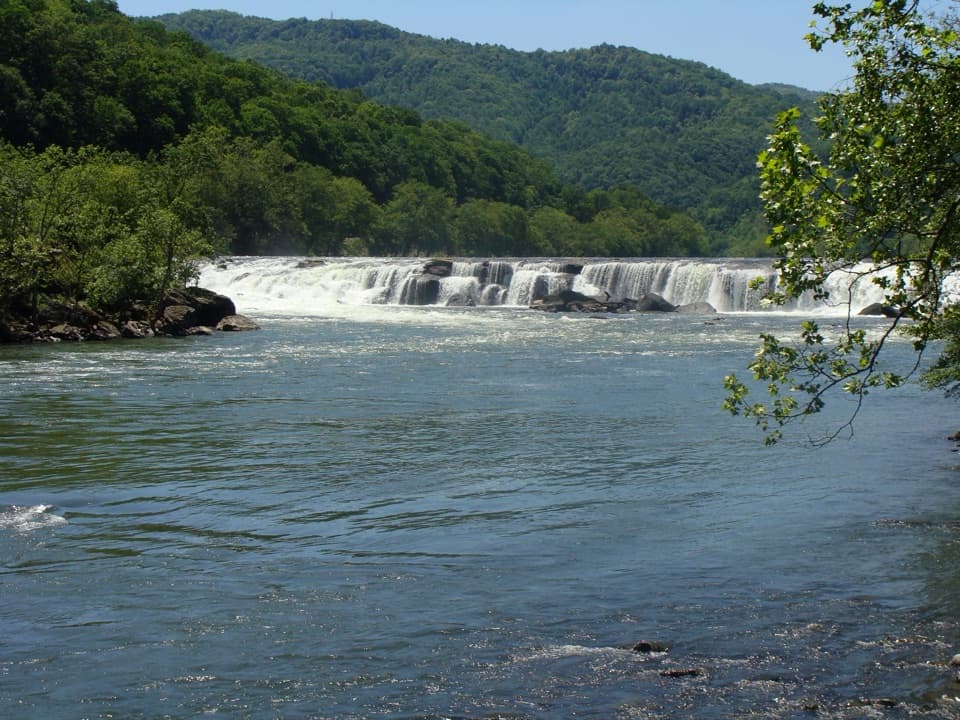
This isn’t a single grand viewpoint hike—it’s a build-your-own adventure. The Fayetteville Trail links to Long Point, Kaymoor, Bridge, Park Loop, Timber Ridge, Butcher Branch, Kaymoor Miners, and Craig Branch, so you can tailor mileage and scenery. Add the short spur to Long Point for the iconic New River Gorge Bridge view. Along the way, you’ll get cool, forested singletrack, a picturesque Wolf Creek crossing (with flat rock slabs just downstream for a snack break), and spring blooms of rhododendron and mountain laurel. It’s usually quieter than the marquee overlooks.

Route options

  • Out-and-back: 7.9 miles total on the Fayetteville Trail, ~3.5–4 hours for most hikers.
  • Big views + history: Stitch Fayetteville + Long Point + Kaymoor into a ~9.1-mile day. If you include the Kaymoor Miners area, know there are 821 steps—only descend if you’re ready to climb back out. Counterclockwise often lines up nicer light for views.

Terrain and conditions

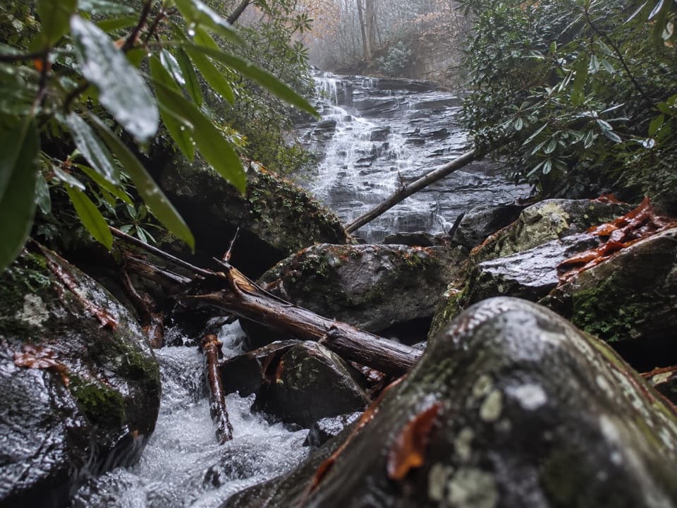
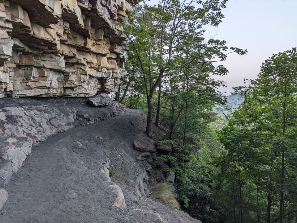
Forest singletrack with some rocky/rooty stretches, lots of short punchy climbs/descents, and a Wolf Creek crossing. After rain, expect mud and slick rock near water. A few junctions aren’t obvious—download an offline map/track. Recent hikers also mention occasional overgrown spots.

Geology and context

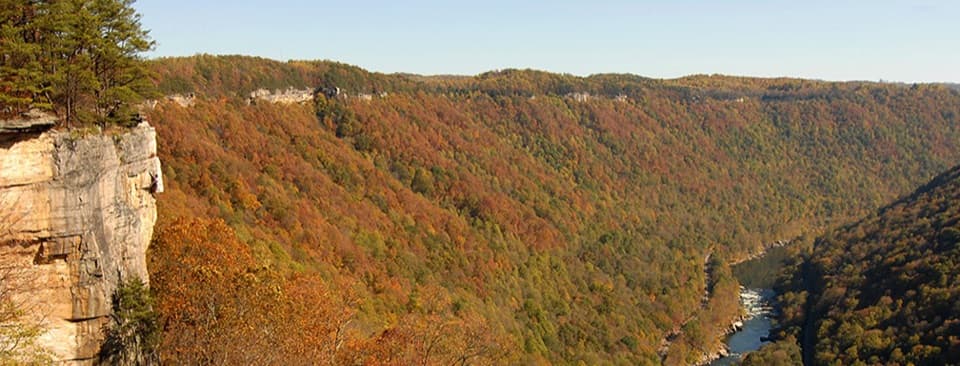
The New River has carved this gorge over immense time, exposing sandstone, shale, and coal seams. That geologic story powered the region’s mining era—historic features around Kaymoor connect those dots if you extend your hike.

Best time to hike

  • Spring: Cool temps and rhododendron/mountain laurel blooms.
  • Summer: Deep shade helps; start early to beat heat and nab parking.
  • Fall: Outstanding foliage across the gorge.
  • For photography at Long Point, early or late light is best; weekdays are calmer.

Getting there and parking

You can start from either end or link from town:

  • Wolf Creek trailhead (Fayette Station Road): From US 19, take Lansing–Edmond Road, then right on Fayette Station Road. Cross Tunney Hunsaker Bridge and continue ~1.2 miles to a small pull-off. Parking is very limited; obey posted no-parking areas so vehicles can make the tight hairpin turn.
  • Kaymoor Top trailhead: From US 19, go south on WV-16 through Fayetteville, left on Gatewood Road, then left on Kaymoor No. 1 Road. Parking is on the right near the end.
  • Town Park option: Larger parking and amenities, with connectors into the Fayetteville/Kaymoor network.

Vault/primitive toilets exist at some nearby trailheads, but don’t count on them—go prepared.

Tips

  • Footing and poles: Grippy shoes are a plus on slick rock and muddy bits; trekking poles help.
  • Navigation: Carry an offline map; junctions can be confusing.
  • Pets and bikes: Dogs allowed on leash (6 feet). This is multi-use—be ready to yield and share the trail.

Pros

  • Easy add-on to Long Point for the park’s signature bridge view
  • Wolf Creek’s rock slabs make a perfect mid-hike break spot

Cons

  • Sparse signage and many junctions can confuse first-timers
  • Very limited parking at the Wolf Creek hairpin with enforced no-parking zones
  • Can be muddy and involve a wet crossing after rain

Parking

Start from Wolf Creek (very limited pull-off 1.2 mi past Tunney Hunsaker Bridge on Fayette Station Rd), Kaymoor Top (via WV-16 > Gatewood Rd > Kaymoor No. 1 Rd; parking on right near end), or Fayetteville Town Park (larger lot, connector trails). Obey no-parking signs at the Wolf Creek hairpin.

Caution

Expect a creek crossing and slick rock near Wolf Creek, mud after rain, and occasional overgrown sections. Wayfinding can be tricky at junctions—carry an offline map. If you add Kaymoor Miners, there are 821 steep steps; only descend if you’re prepared for the climb back up.

The Parkwolf tour guide sitting on a phone mounted in a car

Parkwolf Tour Guide

Like a tour guide in your car.

Bring New River Gorge trail research into the car, with offline maps and stories that play as you drive.Download Parkwolf on the App Store