Parking
Start at Kaymoor Top Trailhead on Kaymoor No. 1 Road, reached from Gatewood Road. At the T intersection, turn left; the parking area is about 50 yards on the right.

New River Gorge National Park, WV
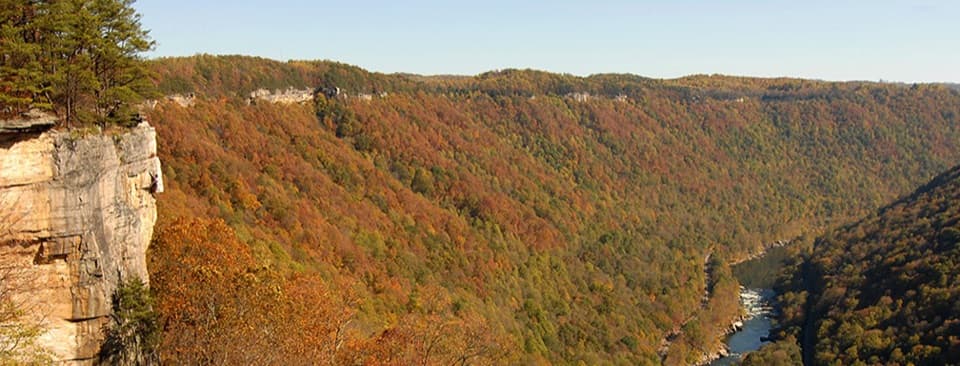
A wooded connector to Long Point, with a rocky falls spur.
Overview
Map & elevation
Plan your hike

The highest, rockiest slopes around here are a summer buffet for grizzly bears.
New River Gorge Tour Guide
Parkwolf is a GPS audio tour guide for New River Gorge National Park. As you drive, it chimes in with what’s ahead: hidden gems, upcoming stops, history, geology, and wildlife, right through your car’s speakers.
See the New River Gorge audio tourRecorded for this trailhead
Kaymoor Top and the Mine Descent“You're nearing Kaymoor Top Trailhead, the start of a steep descent to a coal mine that closed in nineteen sixty-two.”
Plays as you drive up to this trailhead in the Parkwolf New River Gorge Tour Guide.
More stories near here in the app
“Fantastic app with many points of information… It’s great to just turn on while you’re driving and it gives you an audio tour of the national Park. We love it!!!!”


Trail guide
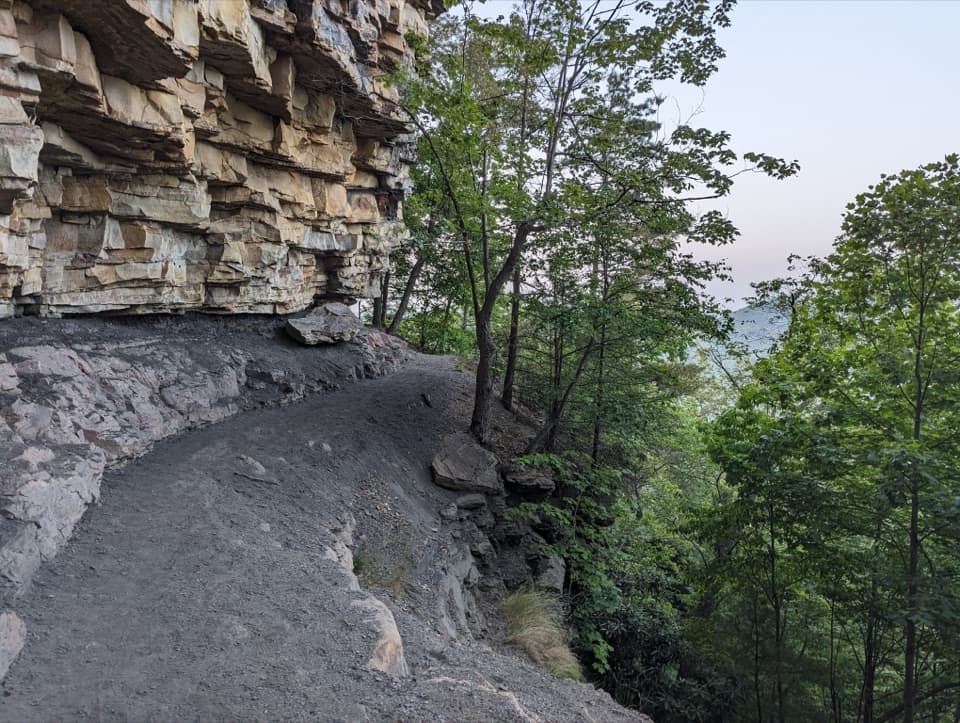
Butcher Branch Trail is a moderate, 0.8-mile one-way connector from Kaymoor Top to the Long Point Trail. It runs through woods, with steep sections and one small stream crossing. Allow about 30 minutes one way. The mapped main trail is shorter than the published 0.8 miles, so treat the distance as approximate; it is not clear whether the listed figure includes the separate climbing-access spur. Continue onto Long Point or another route, or return the way you came for roughly 1.6 miles using the published distance.
At the Climbing Access sign, a separate path follows the sandstone cliff to Butcher Branch Falls. The sign is about 0.3 mile from Kaymoor Top, then the falls are another 0.15 mile along the cliff: about 0.45 mile one way, or 0.9 mile out and back. The switchbacks are steep and rocky and can be slick when wet. The small creek steps over tiered sandstone in several cascades, but the falls depend on rainfall and can dry up. When water is flowing, this is the trail’s signature photo stop. Rhododendron flowers brighten sections of the wooded tread when they are in bloom.
Use the Kaymoor Top Trailhead on Kaymoor No. 1 Road. From WV 16 in Fayetteville, follow Gatewood Road and the signs for Kaymoor; at the T intersection, turn left, and the parking area is about 50 yards on the right. Dogs are allowed on park trails on a physical leash no longer than six feet. Bring drinking water: there is none at the trailhead, and park streams may contain Giardia or other parasites.
Wildlife
 18 sightingsBlack BearMost seen around 7 PMSighting map
 126 sightingsWhite-tailed DeerMost seen around 6 AMSighting map
 25 sightingsPileated WoodpeckerMost seen around 8 AMSighting map
 15 sightingsBarred OwlMost seen around 7 PMSighting map
 14 sightingsWild TurkeyMost seen around 6 AMSighting map
 58 sightingsCopperheadMost seen around 7 PMSighting map
Sighting maps show where each species has been reported across New River Gorge. Wildlife moves, so no sighting is guaranteed.
Keep exploring
 ChallengingKaymoor Miners Trail2 mi · 2.5 hr · 0.1 mi awayA steep mine descent with a gorge view before the long stairs.
 ModerateCraig Branch and Kaymoor Trail Loop4.9 mi · 2.5 hr · 0.3 mi awayMine ruins, gorge views, and 821 steps in one loop.
 ModerateCraig Branch Trail2.4 mi · 1.5 hr · 0.3 mi awayA 2.4-mile gravel descent links Arrowhead with the Kaymoor Trail.
 EasyClovis Trail1.1 mi · 30 min · 0.3 mi awayA compact forest loop with a few easy rock patches.
 EasyAdena Trail3.4 mi · 2.3 hr · 0.4 mi awayRolling forest tread makes a gentle loop for walkers and newer riders.
 EasyTimber Ridge Trail1 mi · 30 min · 0.6 mi awayA short wooded link into the Fayetteville trail network.
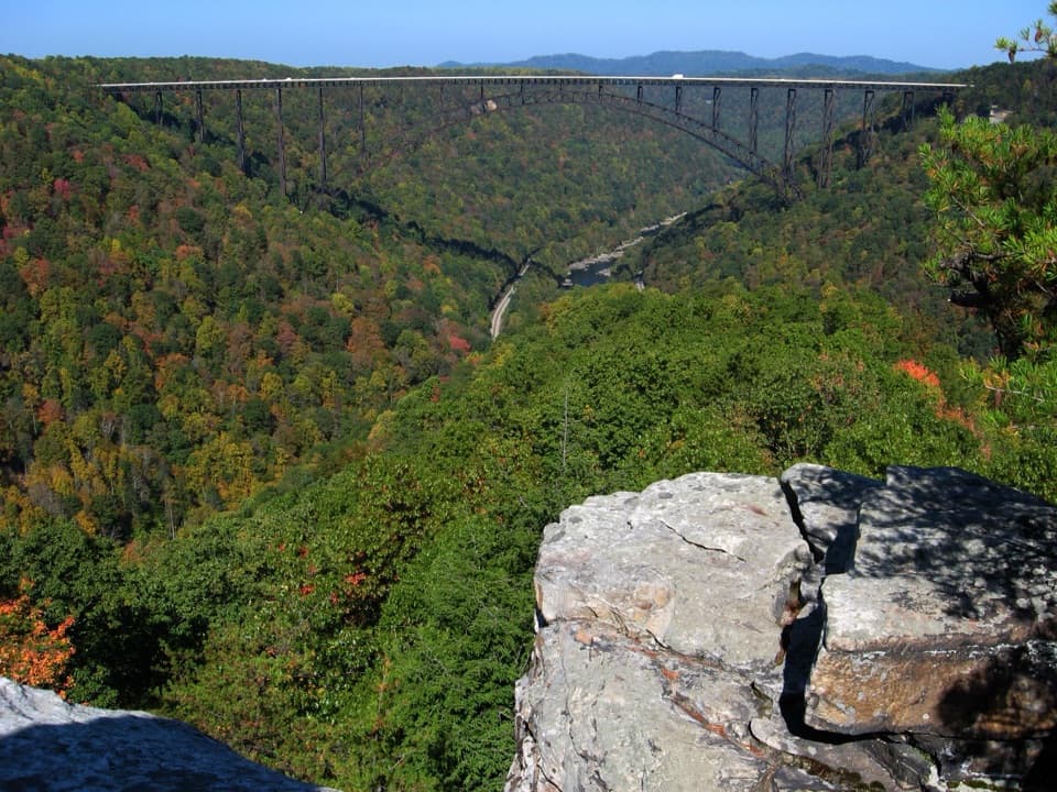 ModerateLong Point Trail3.2 mi · 1.8 hr · 0.6 mi awayThe bridge view repays the forest miles and rocky finish.
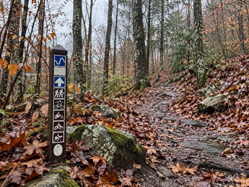 ModerateLeCroy Trail1.8 mi · 1.3 hr · 0.6 mi awayNarrow singletrack, a rock bridge, and a rhododendron tunnel.
 Sight · 0.2 mi awayKaymoor One MineA coal mine and coke ovens linked by 821 steps.
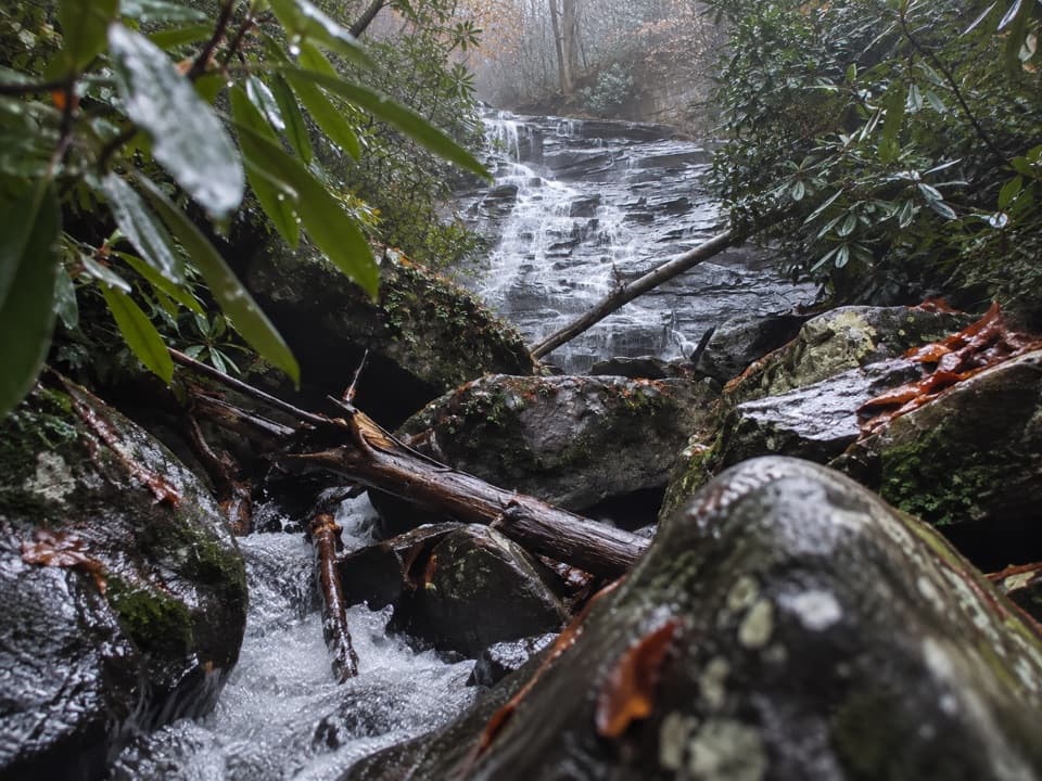 Sight · 0.4 mi awayButcher Branch FallsA close-up waterfall reached by a short, steep spur.
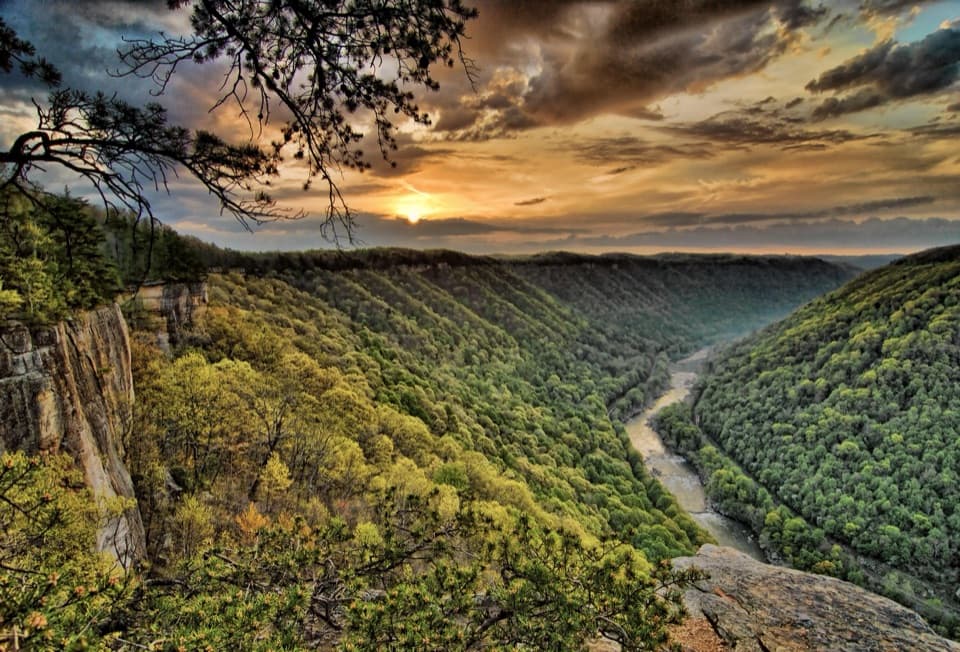 Sight · 0.7 mi awayDiamond Point OverlookA cliff-edge view down nearly 1,000 feet to the New River.Sight · 1.1 mi awayLong Point OverlookA rough last pitch opens onto the park’s signature bridge view.
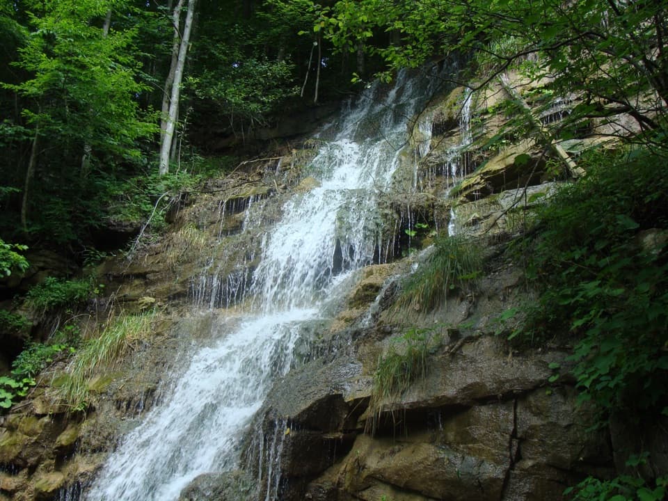 Sight · 1.1 mi awayKaymoor Mine FallsA mossy cascade where mine drainage meets Wolf Creek.
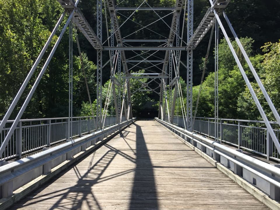 Sight · 1.4 mi awayTunney Hunsaker BridgeA historic lower crossing on Fayette Station Road's one-way gorge drive.
 Sight · 1.6 mi awayNuttallburg Historic SiteA preserved coal town with a rust-red tipple and a tricky drive.
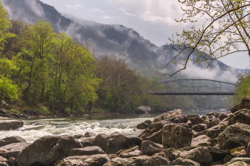 Sight · 1.6 mi awayFayette Station River AccessRapids, two bridges, and the gorge from river level.
Parkwolf’s New River Gorge ranking

The audio tour guide for the drive, plus offline maps, trails, and wildlife heatmaps for when the signal drops.