
Place · 0 mi away
Easy
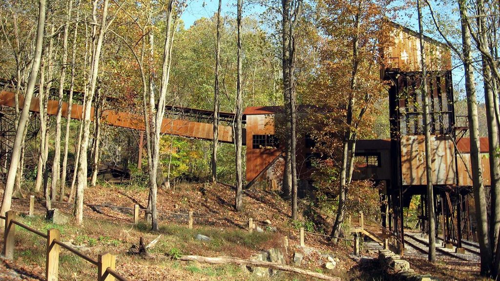
This is a short, history-forward loop through the former residential heart of the Nuttallburg coal town. It’s 0.5 miles total (round-trip) and rated moderate, hiking only. Expect a natural, uneven forest path threading past foundations and interpretive signs that bring daily life in this once-bustling community into focus.
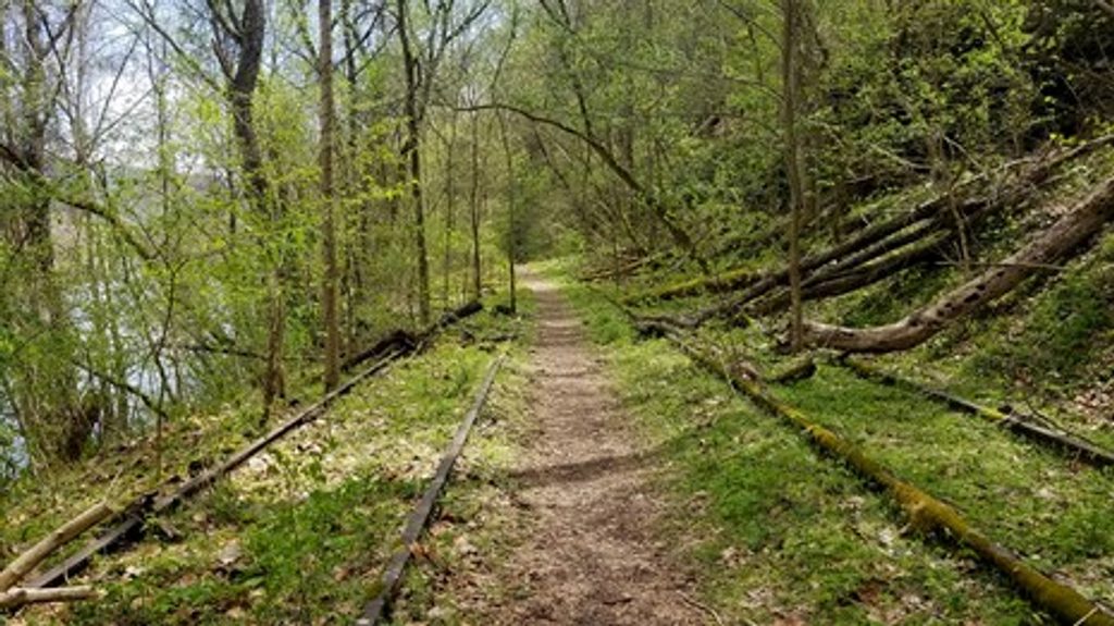
The loop passes the remnants of homes, a church, and a school, with exhibits that stitch the story together. It’s more about atmosphere and artifacts than views—think mossy stonework and forest reclaiming a town site. If you want more, you can link to the Tipple Trail or continue via the Town Loop Connector to explore additional industrial remains.
In late summer, sections—especially toward the church and school—can get brushy, and hikers have reported scattered glass. Roads into Nuttallburg are narrow, curvy, and include single-lane stretches where you may need to yield or back up; this drive is not ideal for large RVs or nervous mountain drivers. Do not climb or sit on historic structures; they’re fragile, protected resources with plenty to learn from—without touching.
Late fall through early spring is the sweet spot: less overgrowth, clearer sightlines to foundations, and fewer bugs. Summer is doable, just expect thicker vegetation and a more “search-and-discover” feel. This area is typically quiet compared to the park’s headline viewpoints, making shoulder seasons especially pleasant for lingering at exhibits.
Parking is at the Nuttallburg trailhead area, with an accessible parking option a short distance beyond the main lot. Services are limited, but there are bathrooms at the site; bring water. Pets are allowed on park trails but must remain leashed.
New River Gorge slices through layers of Mississippian–Pennsylvanian sandstones and shales, exposing a deep geologic story shaped by an ancient river. The gorge’s famously tough sandstones (including the resistant Nuttall Sandstone in the lower gorge) frame both the landscape and the industrial history you’re walking through.
For a longer look at Nuttallburg’s industrial side, add the Town Loop Connector to reach more ruins. If vegetation is too thick here, the Kaymoor Miners Trail is a great historic backup: steeper and longer, but packed with mining relics and big stair sections.
Park at the Nuttallburg trailhead area; an accessible parking area is located a short distance beyond the main lot. Reaching the site requires driving narrow, curvy, sometimes single-lane roads—plan for slow, cautious travel.
Expect brushy stretches in summer and scattered glass near some ruins; drive carefully on narrow, single-lane access roads; do not climb on historic structures; limited services—carry water.
Place · 0 mi away
Place · 0 mi away
Place · 0.2 mi away
Place · 0.8 mi away
Easy · 1.9 mi away
Easy · 2.1 mi away
Moderate · 3.9 mi away
Easy · 4.2 mi away

Parkwolf Tour Guide
