Parking
Start at Thurmond Trailhead off WV Route 25, about 5.1 miles down the signed road from Glen Jean. A one-way walk to Minden requires a ride or second vehicle at the other end.
New River Gorge National Park, WV
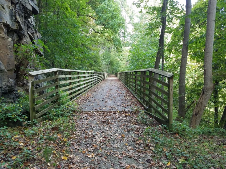
Five railroad trestles turn a gentle creekside walk into a gorge story.
Overview
Map & elevation
Plan your hike

The highest, rockiest slopes around here are a summer buffet for grizzly bears.
New River Gorge Tour Guide
Parkwolf is a GPS audio tour guide for New River Gorge National Park. As you drive, it chimes in with what’s ahead: hidden gems, upcoming stops, history, geology, and wildlife, right through your car’s speakers.
See the New River Gorge audio tourRecorded for this trailhead
Rend Trail's Railroad Grade“You're nearing Thurmond Trailhead for the Rend Trail, a gentle walk along an old coal railroad.”
Plays as you drive up to this trailhead in the Parkwolf New River Gorge Tour Guide.
More stories near here in the app
“Fantastic app with many points of information… It’s great to just turn on while you’re driving and it gives you an audio tour of the national Park. We love it!!!!”


Trail guide
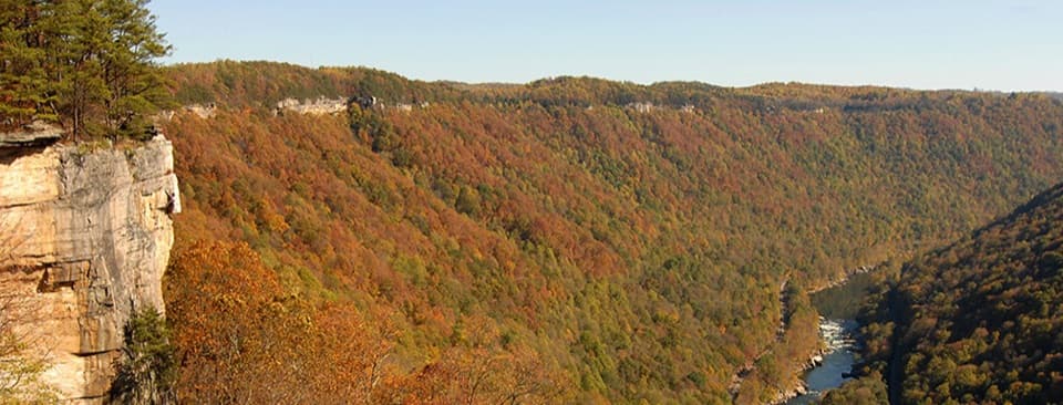
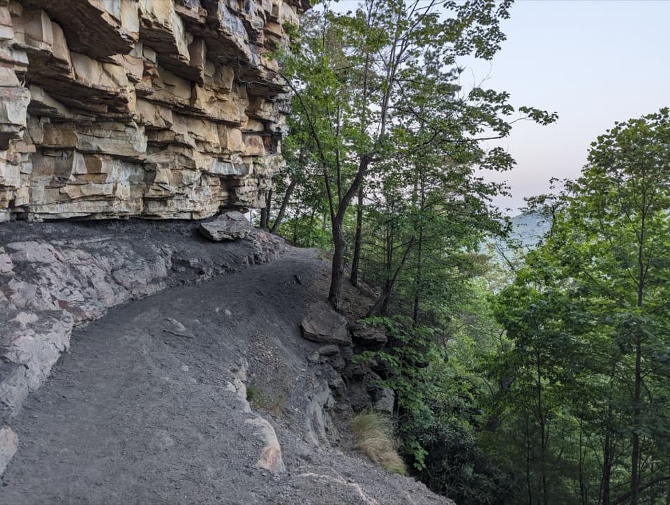
Rend Trail is a mostly level rail trail between Thurmond and Minden, with five trestles, creekside stretches and overlooks into the New River gorge. Walking to Minden and back makes a 6.4-mile out-and-back; plan about 3.5 hours on the broad, smooth old grade. The mapped corridor is about 3.25 miles one way, while published one-way figures range from 3.2 to 3.4 miles. If the full return is more than you want, the main overlook makes a supported 2.5-mile round trip from Thurmond.
From Thurmond, the route runs beside Dunloup Creek and passes a few foundations of South Boyd, a former settlement. Five old railroad trestles break up the easy rail grade. Around the middle, the main overlook opens toward the New River, historic Thurmond and the active rail line across the gorge. Farther north, Arbuckle Creek accompanies the trail toward Minden. The full walk retraces the same corridor; it is not a loop. Hikers share the trail with mountain bikers, and the easy grade is a good introduction to riding.
The railroad was built in 1906 to carry coal from Minden’s mines to the main line at Thurmond. It was abandoned in 1972, leaving a gradual corridor through the gorge that now carries hikers and riders. The South Boyd foundations are modest traces beside the Thurmond end, while the trestles make the old railroad alignment tangible.
At the main overlook, look for a view that layers the New River with Thurmond and the railroad across the gorge. The old trestles are another distinctive subject along the way; a leaf-covered deck framed by forest gives a sense of how the trail follows the former rail line.
Wildlife
 18 sightingsBlack BearMost seen around 7 PMSighting map
 126 sightingsWhite-tailed DeerMost seen around 6 AMSighting map
 25 sightingsPileated WoodpeckerMost seen around 8 AMSighting map
 15 sightingsBarred OwlMost seen around 7 PMSighting map
 14 sightingsWild TurkeyMost seen around 6 AMSighting map
 58 sightingsCopperheadMost seen around 7 PMSighting map
Sighting maps show where each species has been reported across New River Gorge. Wildlife moves, so no sighting is guaranteed.
Keep exploring
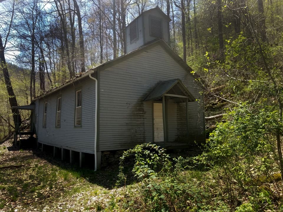 ModerateChurch Loop Trail1.8 mi · 1 hr · At the trailheadA short Rend Trail outing to Thurmond’s historic Black church.
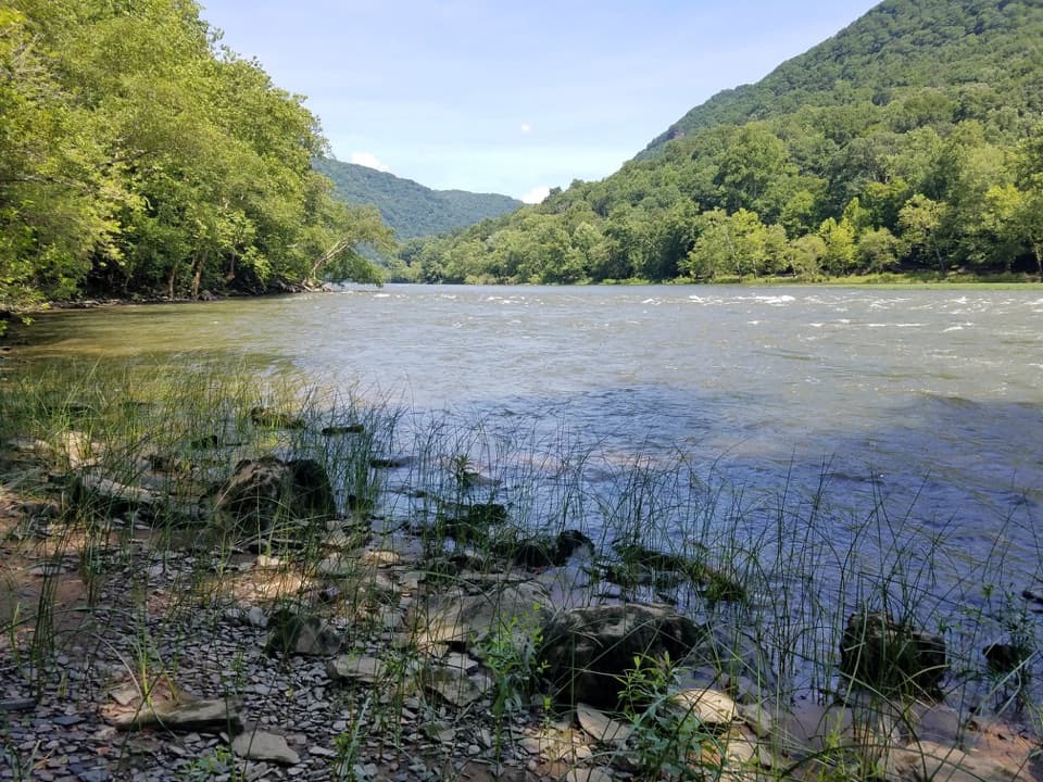 ModerateStone Cliff Trail2.7 mi · 1.5 hr · 1.5 mi awayA shaded New River road ends near a rare old-growth stand.
 ModerateBrooklyn Mine Trail5.4 mi · 3.3 hr · 4.9 mi awayA shaded old road leads to the ruins of a coal mine.
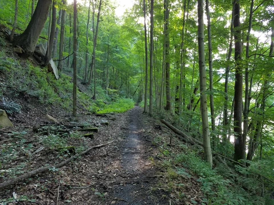 ModerateSouthside Trail14 mi · 5.5 hr · 5.2 mi awayA long river rail grade past abandoned coal towns
 ModerateTerry Top Trail3.4 mi · 2 hr · 5.2 mi awayA quiet ridge walk ending at a nineteenth-century family cemetery.
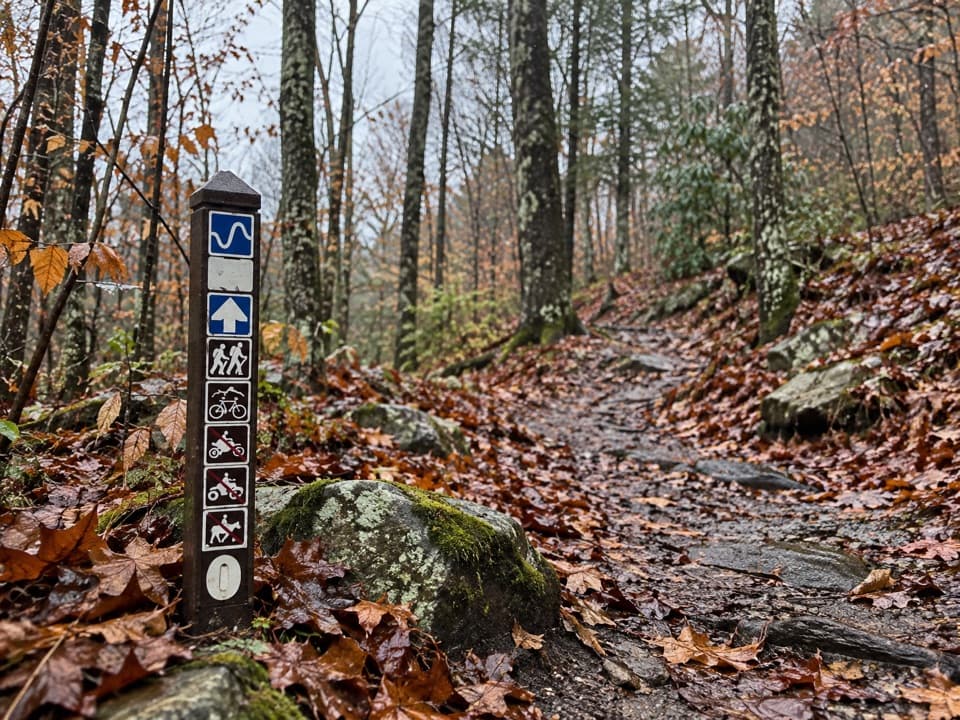 ModerateLeCroy Trail1.8 mi · 1.3 hr · 6.7 mi awayNarrow singletrack, a rock bridge, and a rhododendron tunnel.
 ModerateGrandview Rim Loop3 mi · 2.5 hr · 6.7 mi awayRiver views, exposed coal seams, and a rocky loop back.
 EasyTimber Ridge Trail1 mi · 30 min · 6.8 mi awayA short wooded link into the Fayetteville trail network.
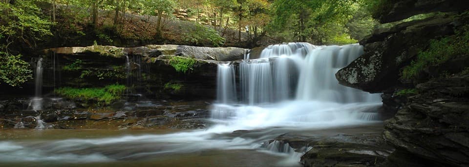 Sight · 0.7 mi awayDunloup FallsA quick roadside waterfall with a steep scramble for a closer look.
 Picnic area · 0.9 mi awayDun Glen Day Use AreaA handy river access point with a permit-required picnic shelter.
 Sight · 1.1 mi awayThurmond Historic DistrictA preserved coal town beside an active rail line.
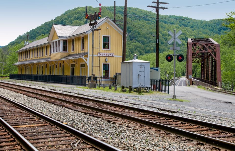 Visitor center · 1.1 mi awayThurmond Depot Visitor CenterA rail-history stop worth the winding drive if you're exploring town.
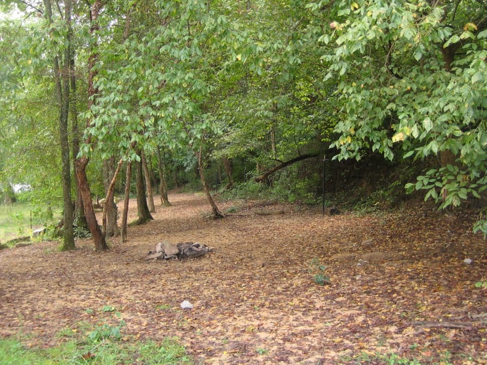 Campground · 1.5 mi awayStone Cliff CampgroundFive sites on sand, two under the trees.
 Sight · 1.6 mi awayConcho Rim OverlookWatch the New River curl around historic Thurmond from above.
 Sight · 1.9 mi awayRush Run Community RuinsA vanished coal town, with beehive ovens still by the trail.
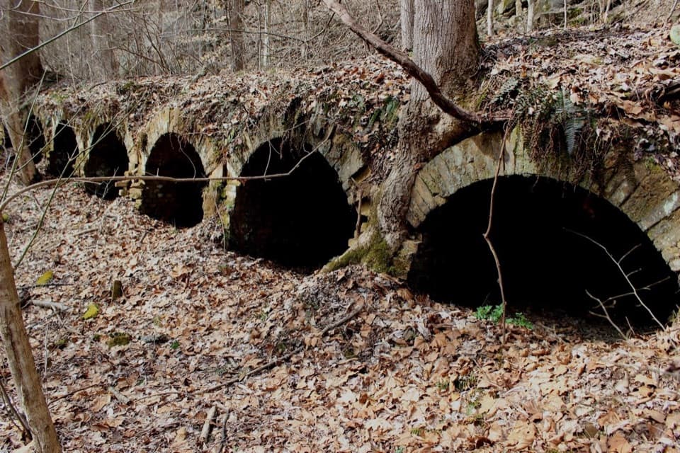 Sight · 2.5 mi awayRed Ash Community and Mining RuinsSee an unusual bread-loaf coke-oven design on the Southside Trail.
Parkwolf’s New River Gorge ranking

The audio tour guide for the drive, plus offline maps, trails, and wildlife heatmaps for when the signal drops.