
Place · 0 mi away
Easy
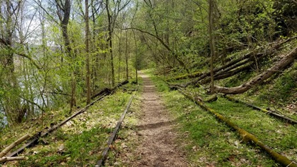
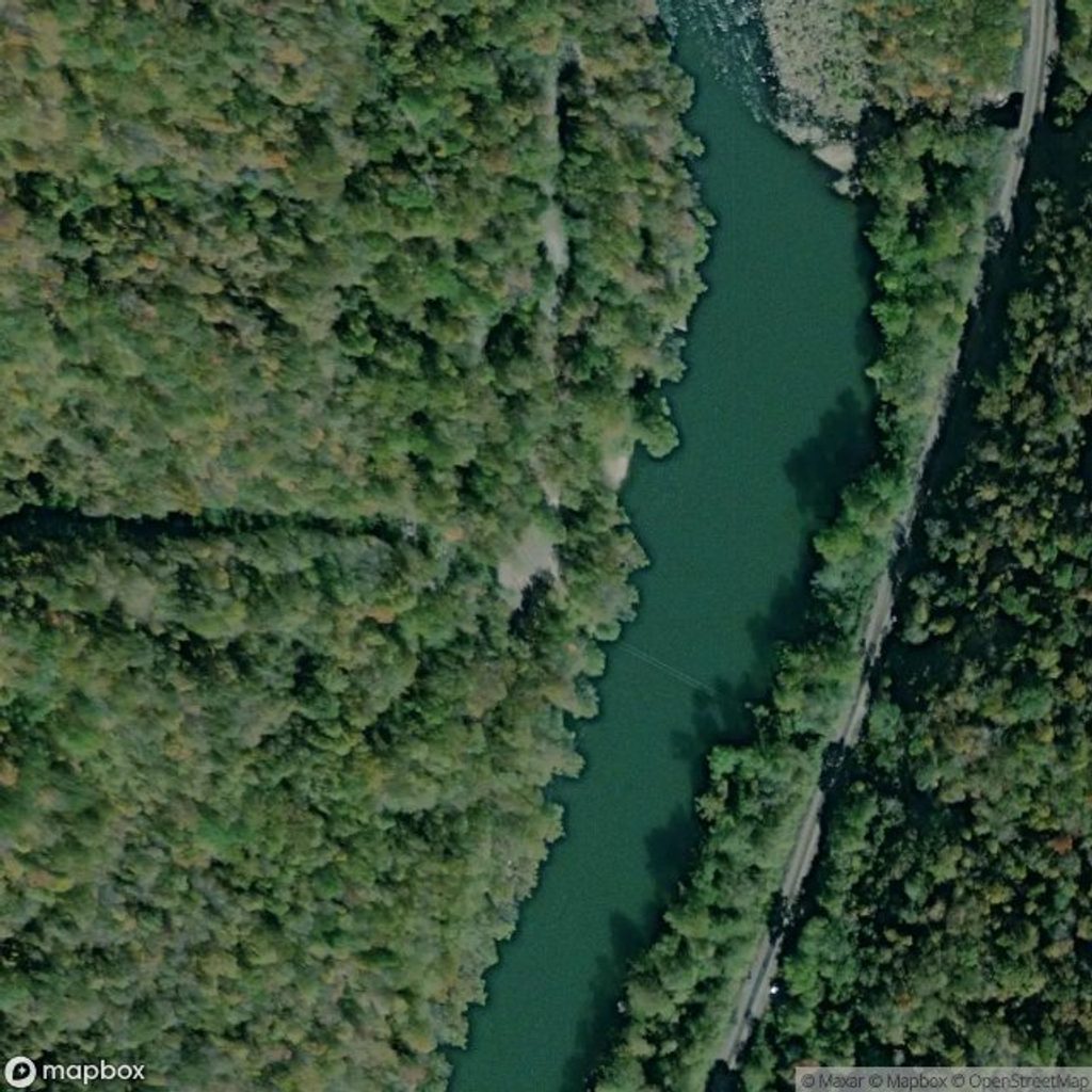
A true riverside wander, the Southside Trail follows a former railroad grade along the New River for 7.0 miles one way. It’s largely flat with minimal elevation change, open to hiking and biking, and lined with relics of the Gorge’s coal era. Expect an easy overall grade with a few rough patches. If you’re doing the full length out-and-back (14 miles), plan on 5–6 hours at a casual pace; a one-way trip typically takes a little over 2 hours.
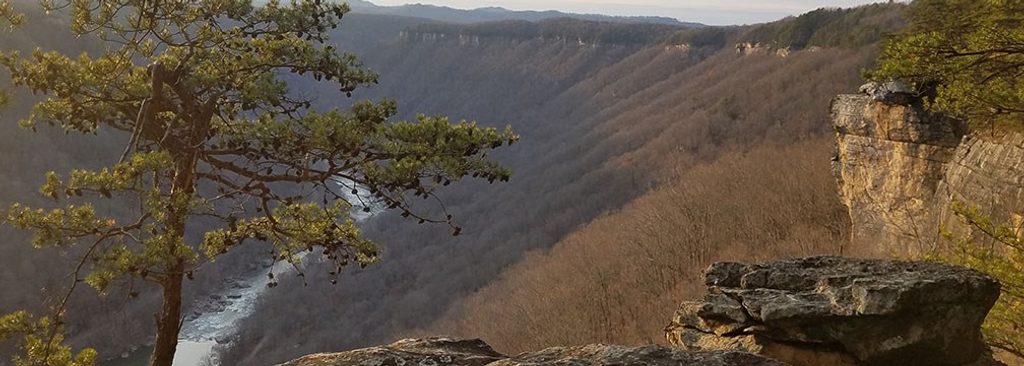
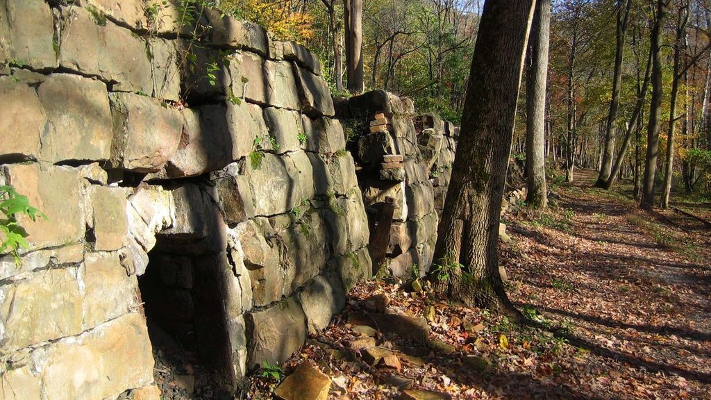
You’ll pass ruins of the former mining towns of Rush Run, Red Ash, and Brooklyn—think old foundations, coke ovens, and scattered railroad relics—plus constant views of the New River. Spring wildflowers can be excellent, summer brings deep shade from oak, rhododendron, and evergreens, fall colors glow along the river, and winter offers the most open vistas. The gorge here was carved by one of North America’s oldest rivers through ancient sandstone and coal seams—the very geology that fed these boomtowns.
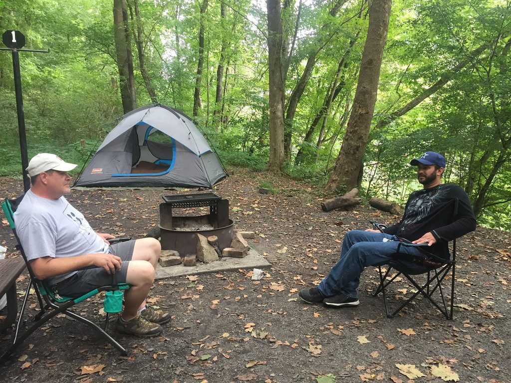
Most visitors start from the Cunard River Access near Fayetteville. From US‑19, go south on WV‑16 through town, then turn left on Gatewood Road and follow signs to Cunard River Access. The first mile beyond Cunard is a road open to motor vehicles; many start from the small parking area at Brooklyn Campground to skip that shared segment. There are restrooms at Cunard; none along the trail.
Surface varies between dirt, gravel, and old railroad ballast. You’ll encounter occasional mud, puddles, roots, rocks, and even exposed ties in spots—fine for hikers, a bit bumpy for bikes. After rains, expect messy stretches and downed limbs. Some narrow bench-cut sections near the river warrant extra attention with kids or novice riders. The north end dead‑ends at an active rail line opposite Thurmond with no legal/safe crossing—treat this as an out‑and‑back. Standard bicycles are welcome, but e‑bikes are generally not permitted on traditional park trails. In warm months, bring insect repellent and plenty of water (no potable water on route).
About mid‑trail you can climb the short but strenuous Arbuckle Connector to reach the Rend Trail. It’s steep, rocky, and effectively not bikeable for most—best for strong hikers linking routes for bigger views over Thurmond. Several informal paths drop to the river; they can be steep and slick—use with care.
Spring for wildflowers and cool temps; summer for shade (with more bugs); fall for color and crisp air; winter for the clearest river views. Weekdays and early starts keep things quieter. Dogs are allowed on leash (6 ft) and are a good fit here if you pack water and waste bags.
Primary parking at Cunard River Access (via WV‑16 through Fayetteville, left on Gatewood Rd, follow signs). Small parking at Brooklyn Campground about a mile beyond Cunard if you want to skip the vehicle‑shared segment.
No legal/safe rail crossing at the north end; treat as out‑and‑back. Expect rough tread with ballast, mud, and exposed ties. First mile from Cunard is open to vehicles. E‑bikes generally not permitted on traditional park trails.
Place · 0 mi away
Place · 1 mi away
Place · 3.3 mi away
Place · 3.8 mi away
Moderate · 0.6 mi away
Easy · 3.3 mi away
Challenging · 3.7 mi away
Easy · 3.7 mi away

Parkwolf Tour Guide
