Moderate

Brooklyn Mine Trail

Shaded old road to a historic mine with peek-a-boo river views
Brooklyn Mine Trail, New River Gorge National Park
Distance5.4 mi
Typical time2 hr
DifficultyModerate
PetsAllowed

Overview

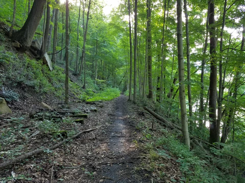
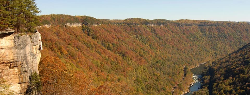
This is a moderate, multi‑use route that follows an old roadbed to the historic Brooklyn coal mine site. Expect a forested walk with periodic glimpses of the New River through the trees rather than big cliff‑edge vistas. Official stats list it as 2.7 miles one way (about 5.4 miles total for an out‑and‑back), with roughly 421 feet of total elevation gain and 168 feet of loss.

Trail Experience

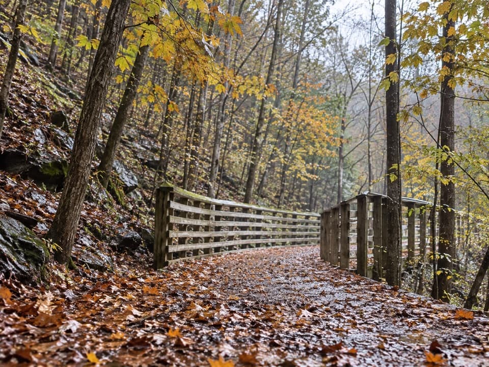
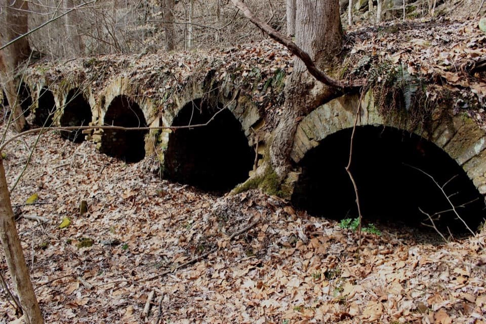
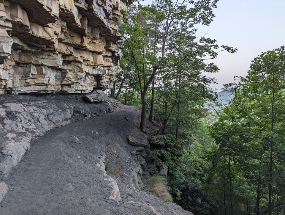
The tread starts as a former road and often feels like easy rolling singletrack. It’s open to hikers, bikes, and horses, so plan to share the corridor and be ready for hoof‑packed or occasionally muddier stretches after rain. Reviewers note sections can be overgrown in places and that you may encounter evidence of equestrian use; a few also report occasional ATVs on or near parts of the route. The payoff is a mellow approach through quiet woods to the decayed remains of the Brooklyn mine—interesting industrial history, but view from a distance and skip any structures or openings.

Geology fans: you’re walking atop Pennsylvanian‑age sandstones, shales, and coal beds that tell the story of ancient rivers and swamps. The gorge itself was carved by one of the continent’s oldest river systems; it’s a subtle but fascinating landscape if you like reading rock and terrain.

Is It Worth It?

If you like shaded, low‑drama miles with mining history at the end, yes. If you’re chasing big overlooks, this isn’t that—river views are mostly filtered through the canopy. It’s a good moderate outing when you want quiet forest time without major climbs and don’t mind sharing with horses.

Getting There

From Route 19, go south on Route 16 through Fayetteville. Turn left onto Gateway Road (signed for Kaymoor and Cunard) and continue 4.6 miles. Turn left at the sign for Cunard, drive 1.8 miles, then turn left at both signs for Cunard River Access Road. The parking area is just past the trailhead, about 0.5 miles farther on the right.

Best Time to Hike

Spring through fall are the sweet spot. The forest canopy keeps it cooler in hot weather, but recent rain can turn low spots muddy. Midweek mornings offer the most solitude. Winter can be pleasant on dry, cold days but expect slick patches if there’s been freeze‑thaw.

Tips

  • This is multi‑use—yield to horses and give clear, calm verbal cues when passing.
  • After rain, waterproof or quick‑dry shoes are smart.
  • Historic remains are unstable; enjoy them from a safe distance.

Pros

  • Shaded forest makes it a cooler choice on hot days
  • Interesting coal mining history at the turnaround

Cons

  • Sections can be overgrown and muddy after rain
  • River views are mostly filtered, not wide open

Parking

Parking is just past the trailhead: from Route 19 take Route 16 through Fayetteville, left on Gateway Road 4.6 mi, left at Cunard sign 1.8 mi, then left at both Cunard River Access Road signs; lot is 0.5 mi farther on the right.
Caution

Multi‑use trail with horses; yield and announce yourself. Expect muddy/overgrown sections after rain. Do not enter any mine structures or openings. Some users report occasional ATVs on or near parts of the route.

The Parkwolf tour guide sitting on a phone mounted in a car

Parkwolf Tour Guide

Like a tour guide in your car.

Bring New River Gorge trail research into the car, with offline maps and stories that play as you drive.Download Parkwolf on the App Store